Van Buren County (/væn ˈbjʊərən/ van BURE-ən) is a county located in the U.S. state of Iowa. As of the 2020 census the population was 7,203, making it the state’s tenth-least populous county. The county seat is Keosauqua, which contains the oldest continuously operational courthouse in the state of Iowa, and second oldest in the United States.
| Name: | Van Buren County |
|---|---|
| FIPS code: | 19-177 |
| State: | Iowa |
| Founded: | December 7, 1836 |
| Named for: | Martin Van Buren |
| Seat: | Keosauqua |
| Largest city: | Keosauqua |
| Total Area: | 491 sq mi (1,270 km²) |
| Land Area: | 485 sq mi (1,260 km²) |
| Total Population: | 7,203 |
| Population Density: | 15/sq mi (5.7/km²) |
| Time zone: | UTC−6 (Central) |
| Summer Time Zone (DST): | UTC−5 (CDT) |
| Website: | www.vanburencounty.iowa.gov |
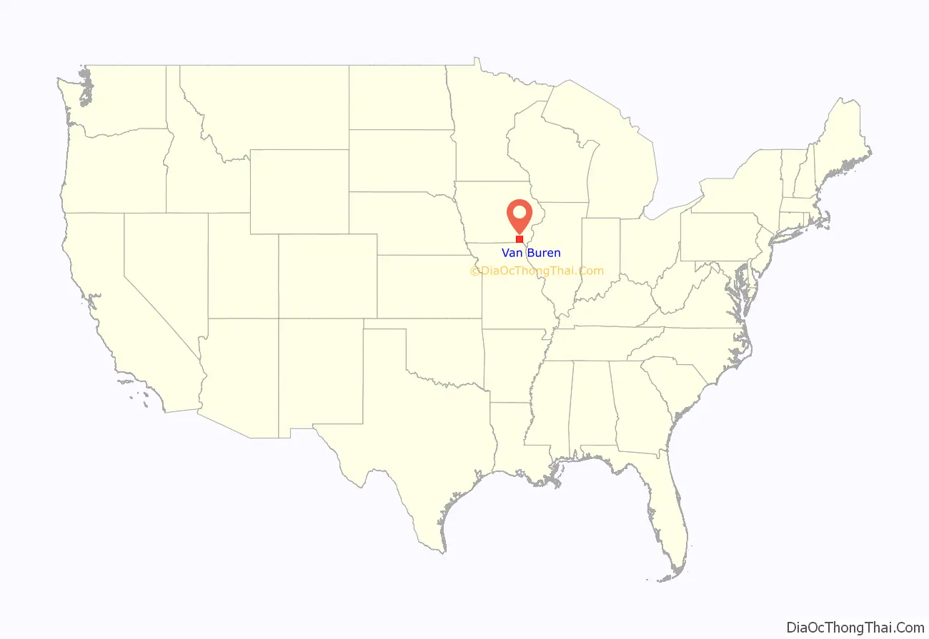
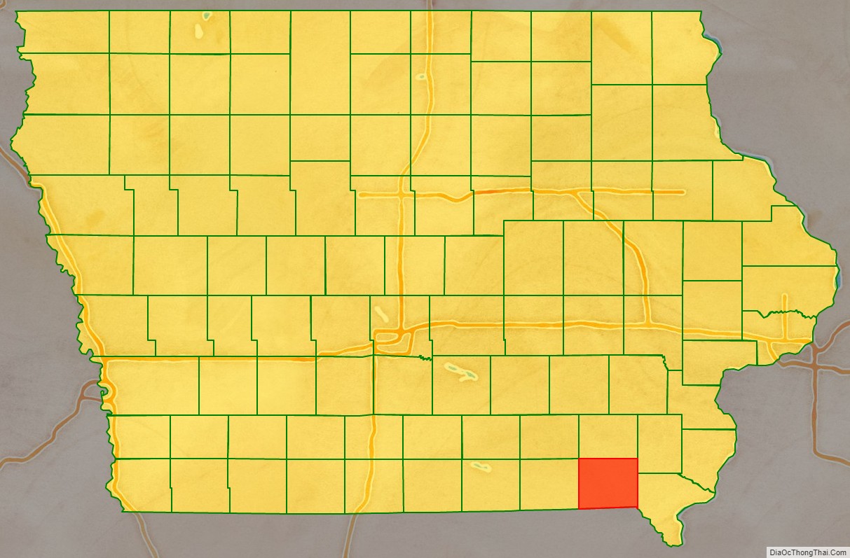
Van Buren County location map. Where is Van Buren County?
History
Van Buren County was formed on December 7, 1836, as a part of Wisconsin Territory, and was split off from Des Moines County. It was named for President Martin Van Buren. It became a part of Iowa Territory (later the state of Iowa) when that territory was organized on July 4, 1838.
The county’s courthouse was built in September 1843 in the style of Greek Revival and stands as Iowa’s oldest, and the nation’s second oldest, courthouse in operation.
“The Honey War” refers to a colorful episode in Van Buren County’s history when the State of Missouri and Wisconsin Territory border came into dispute. Missouri attempted to collect taxes from residents north of the disputed Sullivan Line of 1816, which residents said was not rightfully theirs to tax. The sheriff of Van Buren County subsequently arrested and jailed the sheriff from Kahoka, Missouri, and Missourians were charged with “stealing honey from bee trees” in what is now Lacey-Keosauqua State Park. Each governor sent troops to resolve the problem but no bloodshed resulted. The matter was turned over to the U.S. Congress for arbitration. The dispute, however, was not resolved until 1846, when Iowa became a state. Congress ruled “in favor of Iowa, allowing the original Sullivan line of 1816 to remain intact”.
Van Buren County is also home to Iowa’s oldest community theater group still in operation, the “Van Buren Players,” founded in 1963.
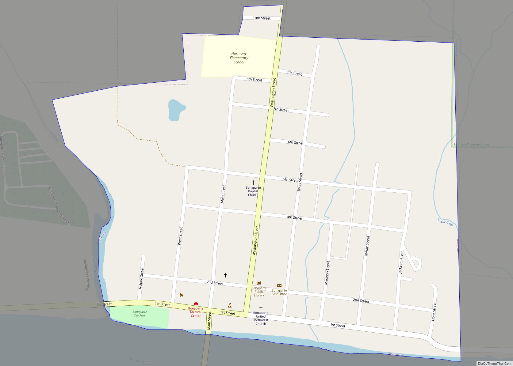
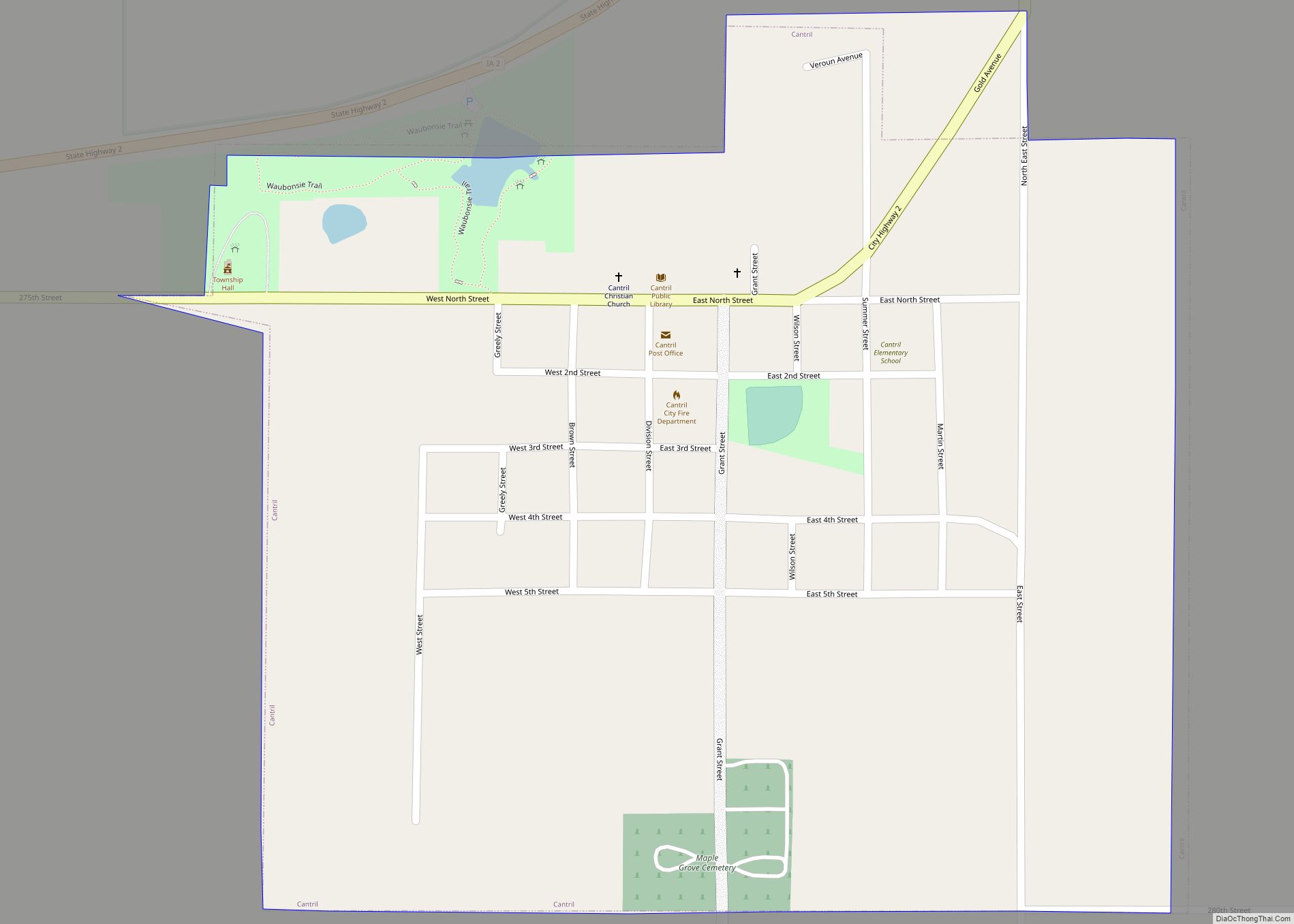
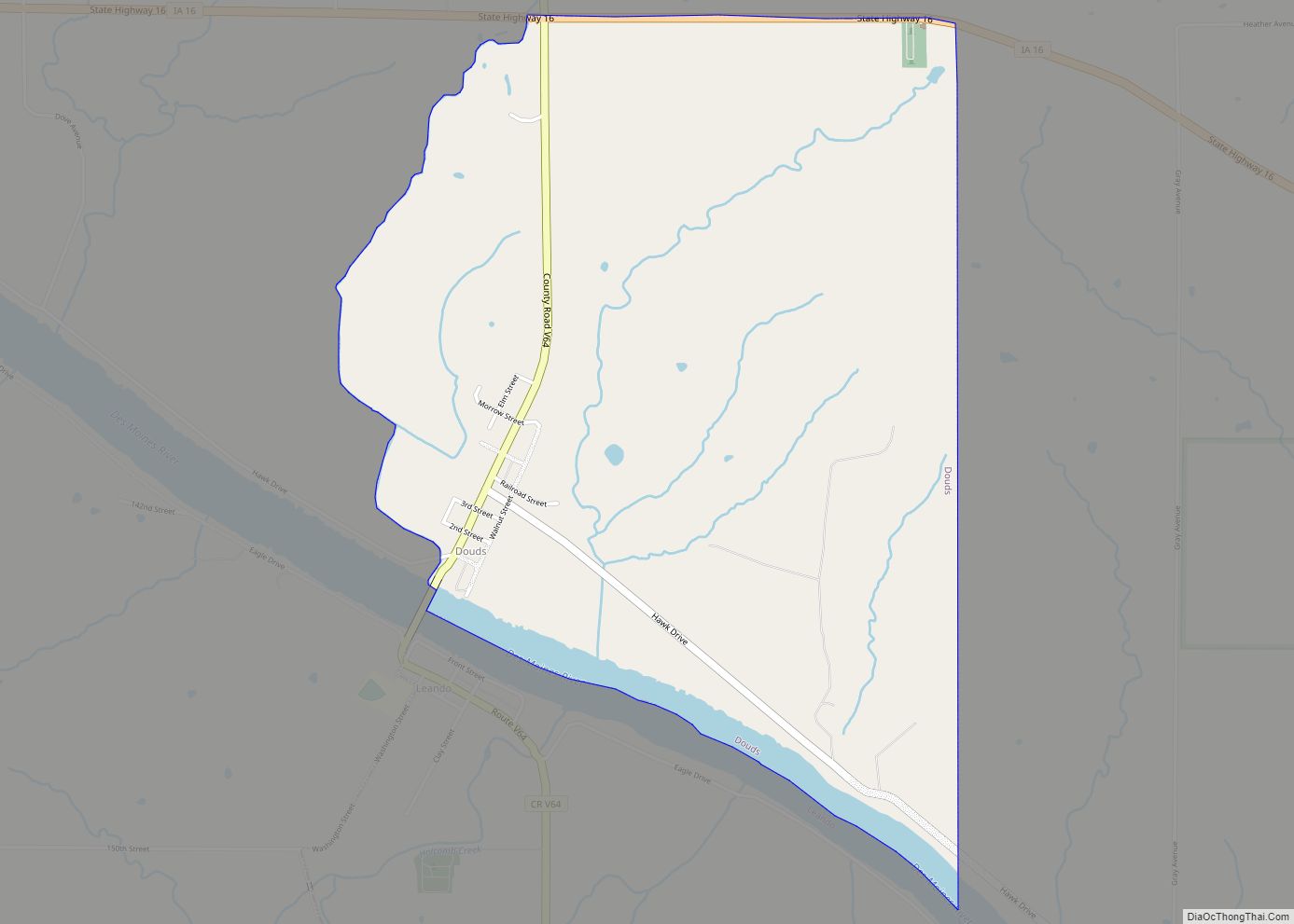
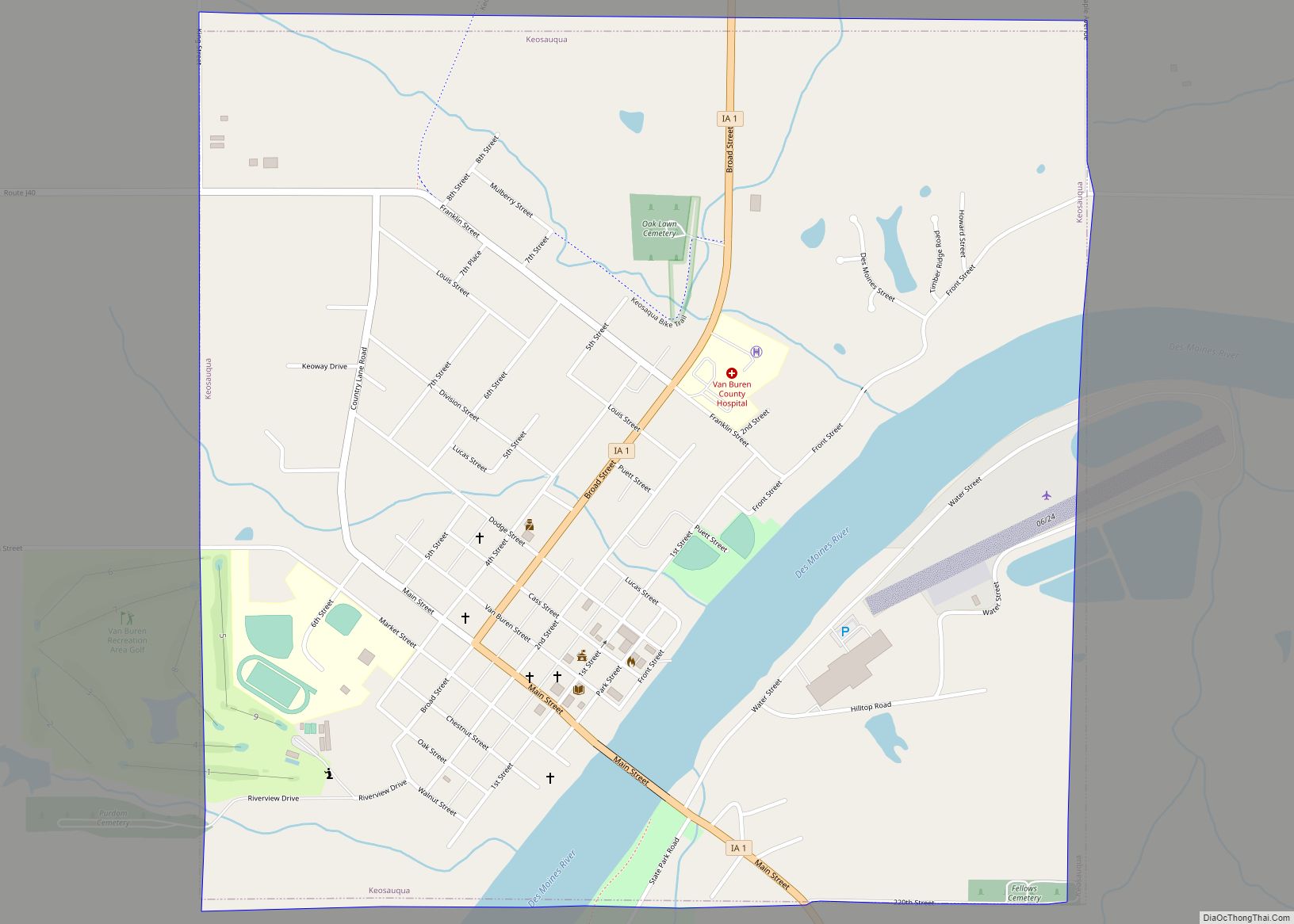
Van Buren County Road Map
Geography
According to the U.S. Census Bureau, the county has a total area of 491 square miles (1,270 km), of which 485 square miles (1,260 km) is land and 5.7 square miles (15 km) (1.2%) is water.
Major highways
- Iowa Highway 1
- Iowa Highway 2
- Iowa Highway 16
- Iowa Highway 98
Adjacent counties
- Jefferson County (north)
- Henry County (northeast)
- Lee County (east)
- Clark County, Missouri (southeast)
- Scotland County, Missouri (southwest)
- Davis County (west)
