Keosauqua (/ˌkiːəˈsɔːkwə/ KEE-ə-SAW-kwə) is a city in Van Buren County, Iowa, United States. The population was 936 at the time of the 2020 census. It is the county seat of Van Buren County.
| Name: | Keosauqua city |
|---|---|
| LSAD Code: | 25 |
| LSAD Description: | city (suffix) |
| State: | Iowa |
| County: | Van Buren County |
| Elevation: | 581 ft (177 m) |
| Total Area: | 1.58 sq mi (4.10 km²) |
| Land Area: | 1.46 sq mi (3.78 km²) |
| Water Area: | 0.12 sq mi (0.32 km²) |
| Total Population: | 936 |
| Population Density: | 641.54/sq mi (247.74/km²) |
| ZIP code: | 52565 |
| Area code: | 319 |
| FIPS code: | 1940935 |
| GNISfeature ID: | 0458057 |
| Website: | keosauqua.com |
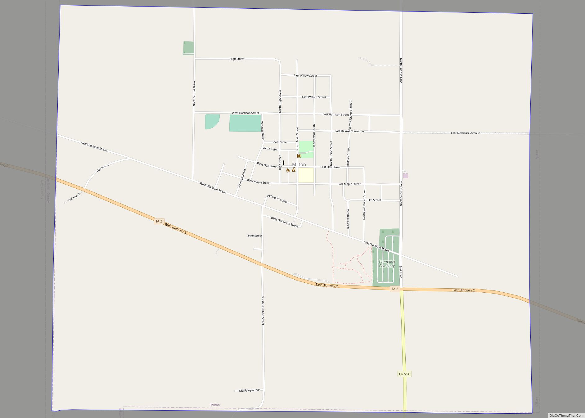
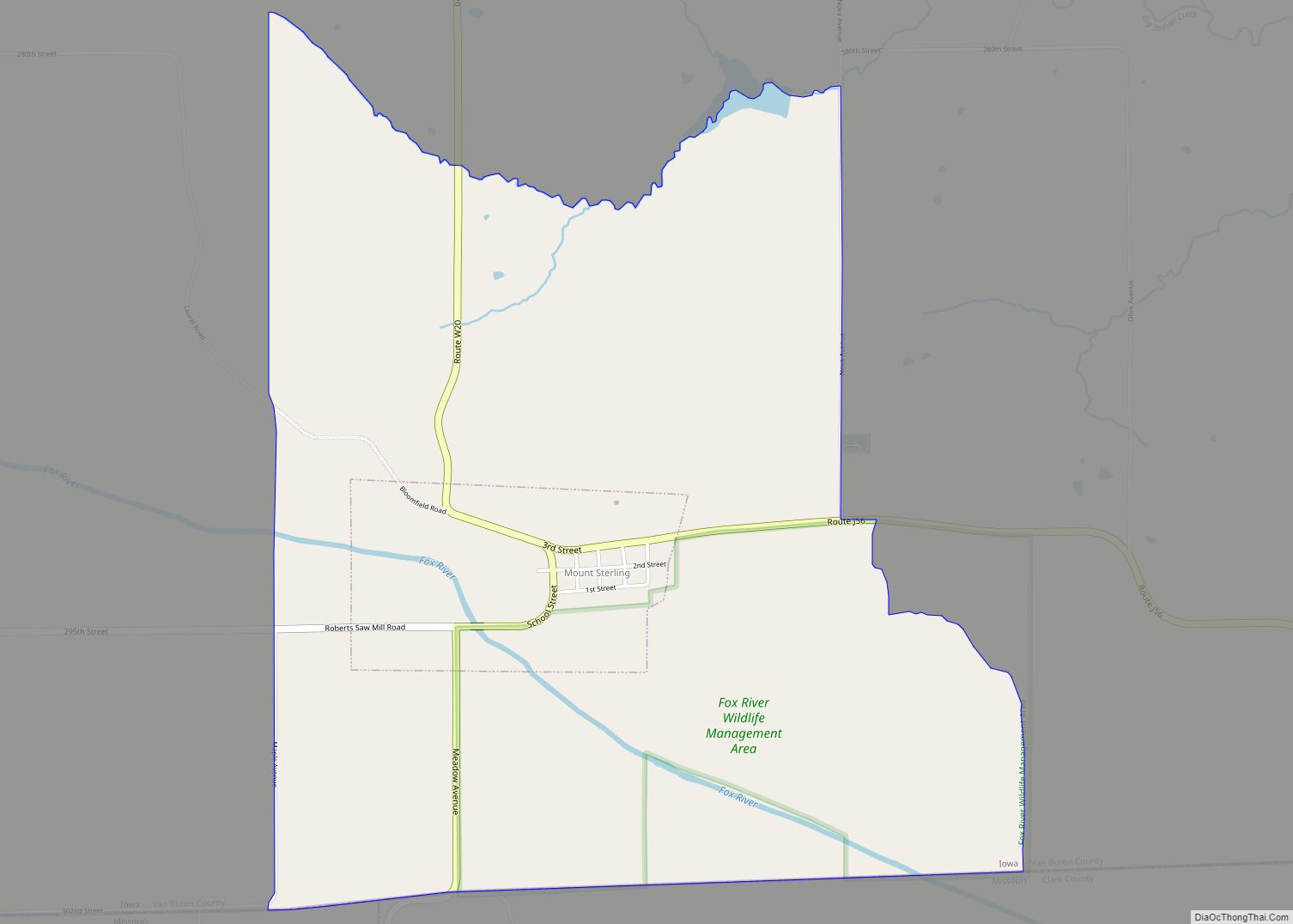
Online Interactive Map
Click on ![]() to view map in "full screen" mode.
to view map in "full screen" mode.
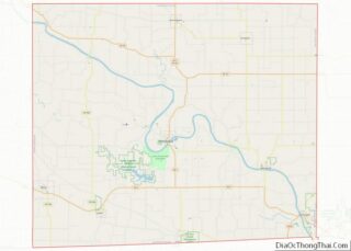
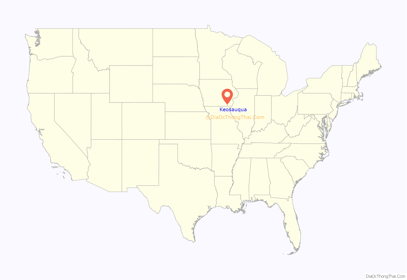
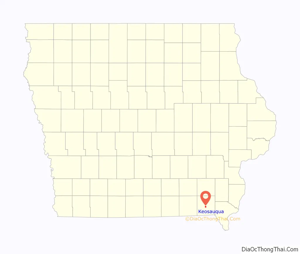
Keosauqua location map. Where is Keosauqua city?
History
Keosauqua was laid out in 1839. The word Keosauqua derives from the Meskwaki and Sauk name for the Des Moines River, “Ke-o-saw-qua”, which literally translates as “Bend in the River”.
The Hotel Manning, a three-story relic from the Des Moines River’s steamboat days, is Keosauqua’s most notable landmark. Its unique Steamboat Gothic architecture mimics riverboats of the mid-1800s. The hotel was placed on the National Register of Historic Places in April 1973.
Also located in Keosauqua are many other notable historic sites. The 1847 Pearson House was a stop on the underground railroad. The Van Buren County Courthouse, built in 1843 in the Greek Revival style, is the oldest in continuous use in the state, and second-oldest in the United States. It is also on the National Register of Historic Places. The courthouse was the scene for the murder trial of William McCauley. A guilty verdict led to his subsequent demise at, appropriately, Hangman’s Hollow. It was the first legal hanging in Iowa history.
When Brigham Young and his followers were exiled from their base at Nauvoo, Illinois in 1846, their caravan crossed the Des Moines River at Ely’s Ford, just upriver from Keosauqua on what is now known as the Mormon Trail.
Van Buren County native Voltaire Twombly received the Congressional Medal of Honor for actions taken at Ft. Donelson during the American Civil War. His post-war pursuits included a stint as mayor of Keosauqua and, as a businessman there, he built a stone building on the main street that remains to this day.
The 1839 Honey War, so named because three trees with beehives were cut down in the process, was fought south of Keosauqua in what is now Lacey-Keosauqua State Park. The event was a border disagreement between Iowa and Missouri. Before it was over, militias from both sides faced each other, though the dispute was ultimately resolved without a shot being fired.
Lacey-Keosauqua is one of the largest state parks in Iowa and was built by the Civil Conservation Corps during the Great Depression. The lake bathhouse and lodge stone work, from stone quarried within the park, remain outstanding testament to their work.
Keosauqua hosts its annual Fall Festival the second full weekend in October.
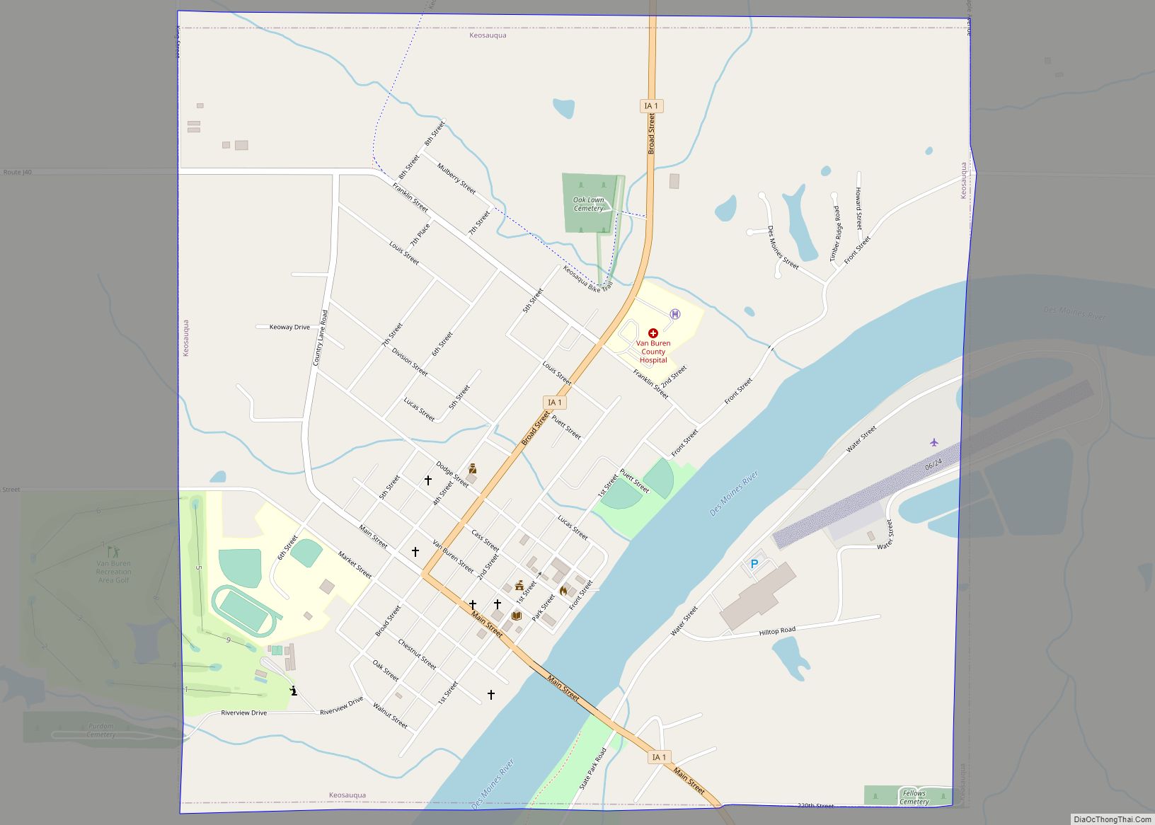
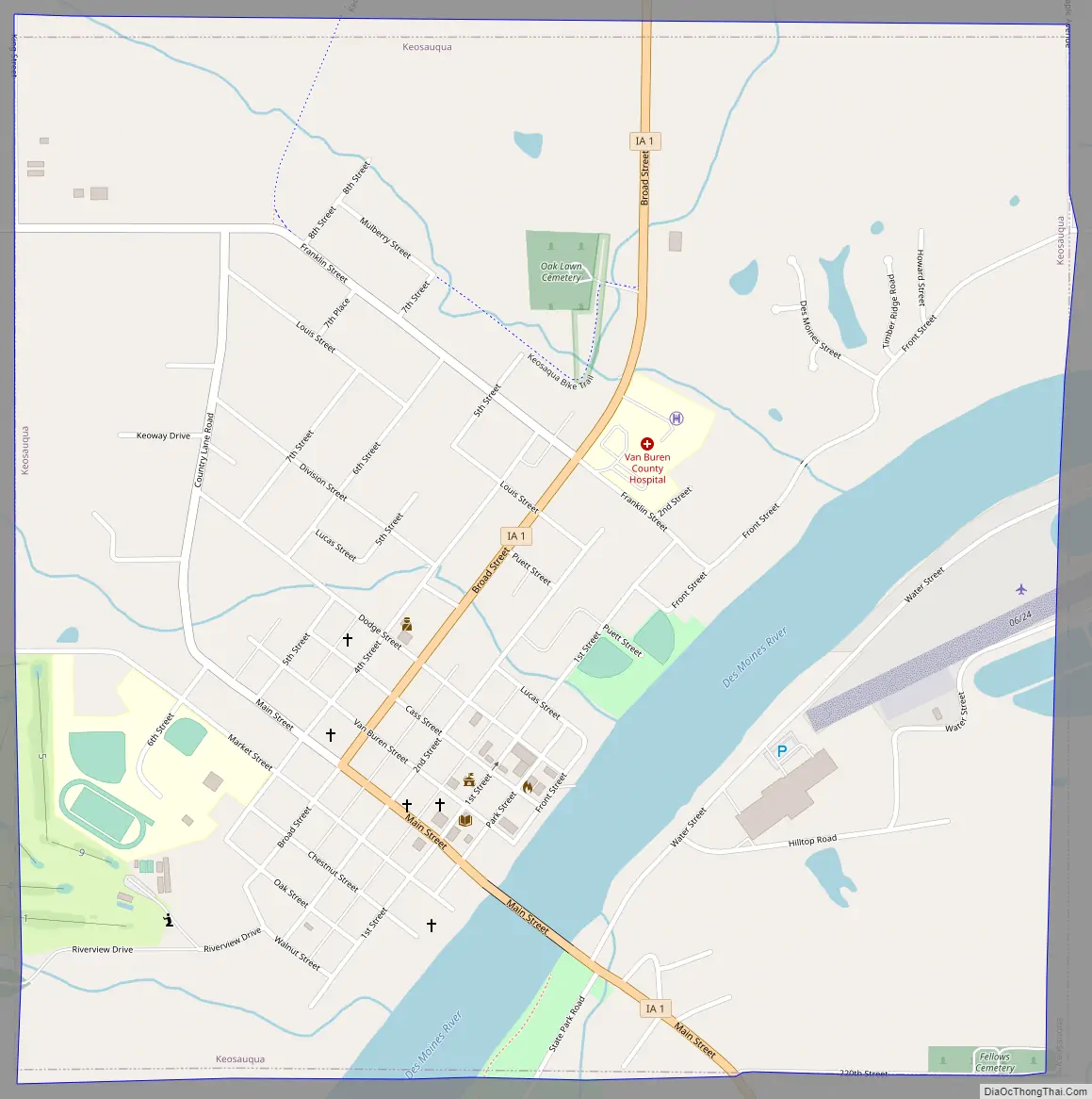
Keosauqua Road Map
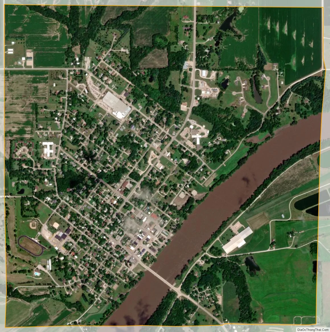
Keosauqua city Satellite Map
Geography
Keosauqua is located at 40°43′56″N 91°57′47″W / 40.73222°N 91.96306°W / 40.73222; -91.96306 (40.732089, -91.963027).
Keosauqua is in the Southern Iowa Drift Plain, formed by Pre-Illinoian glaciers approximately 300,000 years ago. The topography of the area is heavily forested rolling hills, interspersed with farmland, and has many tributaries flowing into the Des Moines River. The Des Moines was large enough to handle steamboat traffic in the 1800s and was the reason that Keosauqua was founded.
According to the United States Census Bureau, the city has a total area of 1.57 square miles (4.07 km), of which 1.45 square miles (3.76 km) is land and 0.12 square miles (0.31 km) is water.
See also
Map of Iowa State and its subdivision:- Adair
- Adams
- Allamakee
- Appanoose
- Audubon
- Benton
- Black Hawk
- Boone
- Bremer
- Buchanan
- Buena Vista
- Butler
- Calhoun
- Carroll
- Cass
- Cedar
- Cerro Gordo
- Cherokee
- Chickasaw
- Clarke
- Clay
- Clayton
- Clinton
- Crawford
- Dallas
- Davis
- Decatur
- Delaware
- Des Moines
- Dickinson
- Dubuque
- Emmet
- Fayette
- Floyd
- Franklin
- Fremont
- Greene
- Grundy
- Guthrie
- Hamilton
- Hancock
- Hardin
- Harrison
- Henry
- Howard
- Humboldt
- Ida
- Iowa
- Jackson
- Jasper
- Jefferson
- Johnson
- Jones
- Keokuk
- Kossuth
- Lee
- Linn
- Louisa
- Lucas
- Lyon
- Madison
- Mahaska
- Marion
- Marshall
- Mills
- Mitchell
- Monona
- Monroe
- Montgomery
- Muscatine
- O'Brien
- Osceola
- Page
- Palo Alto
- Plymouth
- Pocahontas
- Polk
- Pottawattamie
- Poweshiek
- Ringgold
- Sac
- Scott
- Shelby
- Sioux
- Story
- Tama
- Taylor
- Union
- Van Buren
- Wapello
- Warren
- Washington
- Wayne
- Webster
- Winnebago
- Winneshiek
- Woodbury
- Worth
- Wright
- Alabama
- Alaska
- Arizona
- Arkansas
- California
- Colorado
- Connecticut
- Delaware
- District of Columbia
- Florida
- Georgia
- Hawaii
- Idaho
- Illinois
- Indiana
- Iowa
- Kansas
- Kentucky
- Louisiana
- Maine
- Maryland
- Massachusetts
- Michigan
- Minnesota
- Mississippi
- Missouri
- Montana
- Nebraska
- Nevada
- New Hampshire
- New Jersey
- New Mexico
- New York
- North Carolina
- North Dakota
- Ohio
- Oklahoma
- Oregon
- Pennsylvania
- Rhode Island
- South Carolina
- South Dakota
- Tennessee
- Texas
- Utah
- Vermont
- Virginia
- Washington
- West Virginia
- Wisconsin
- Wyoming