| Name: | Clark County |
|---|---|
| FIPS code: | 29-045 |
| State: | Missouri |
| Founded: | December 16, 1836 |
| Named for: | William Clark |
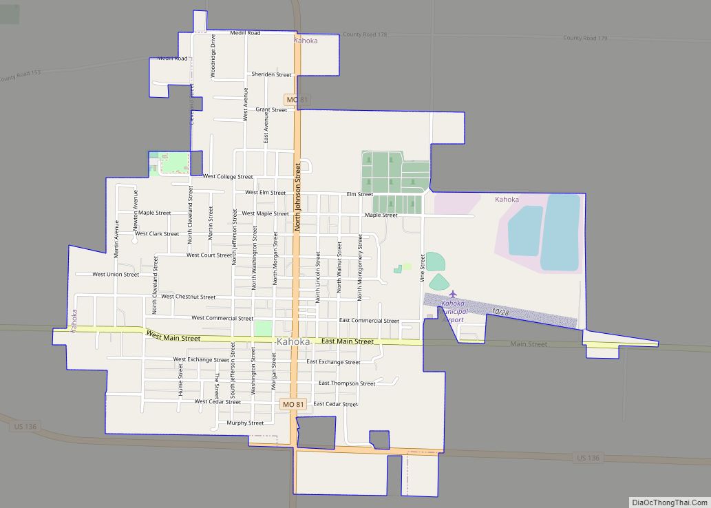
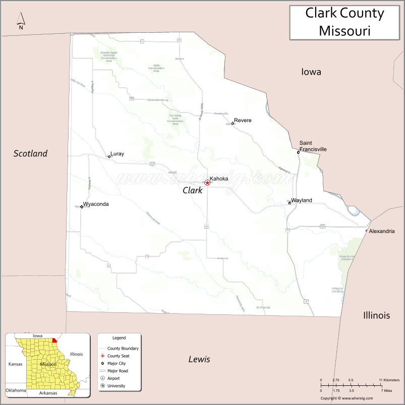
| Seat: | Kahoka |
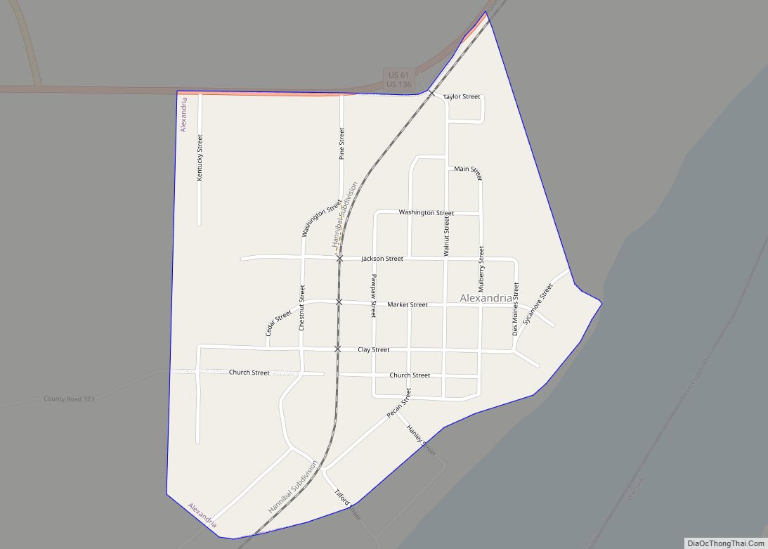
| Largest city: | Kahoka |
| Total Area: | 512 sq mi (1,330 km²) |
| Land Area: | 505 sq mi (1,310 km²) |
| Total Population: | 6,634 |
| Population Density: | 13/sq mi (5.0/km²) |
| Time zone: | UTC−6 (Central) |
| Summer Time Zone (DST): | UTC−5 (CDT) |
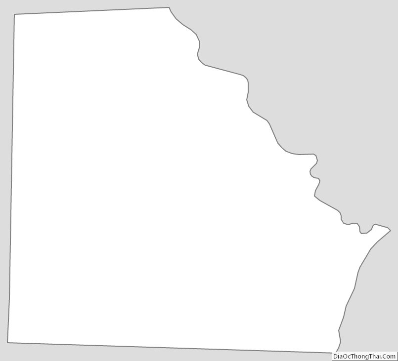
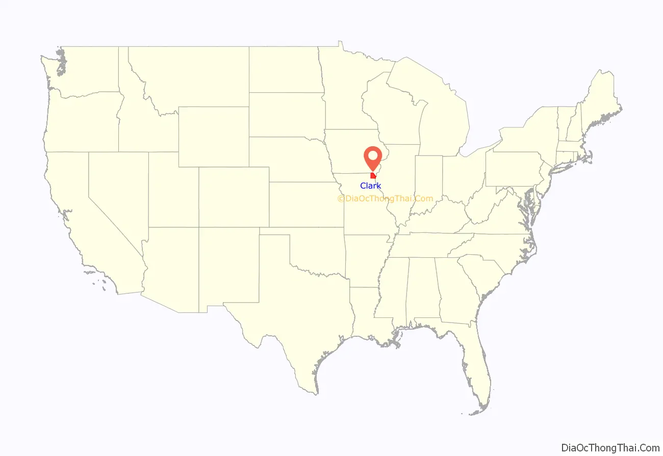
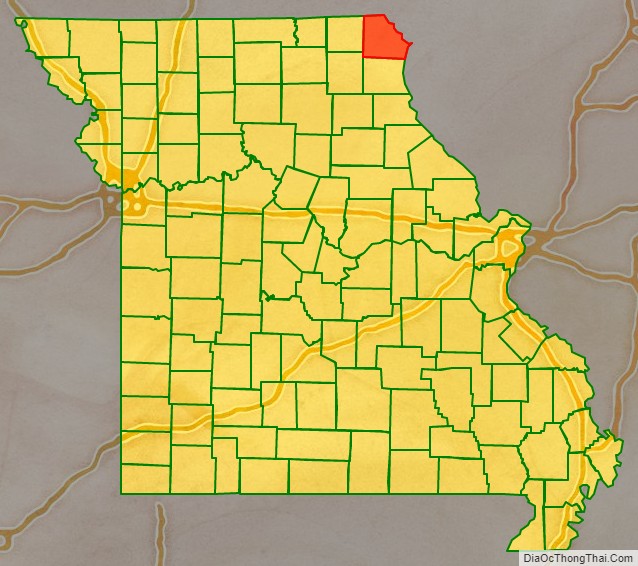
Clark County location map. Where is Clark County?
History
Missouri folklorist Margot Ford McMillen wrote that early settlers were attracted by Clark County’s good and inexpensive agricultural land. One section was called “Bit Nation” because land was sold there for just twelve and one-half cents (“one bit” of a Spanish dollar) an acre.
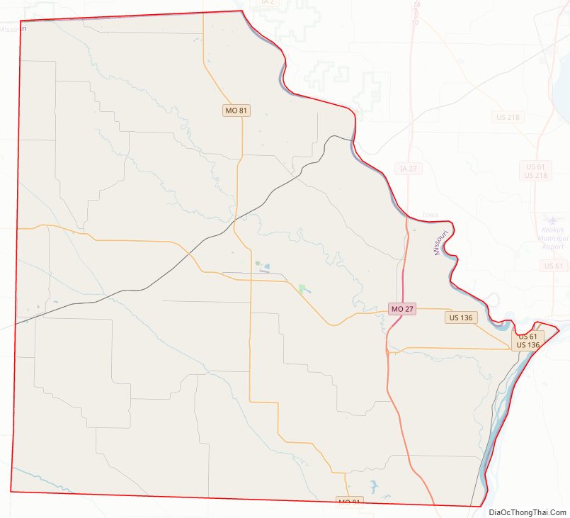
Clark County Road Map
Geography
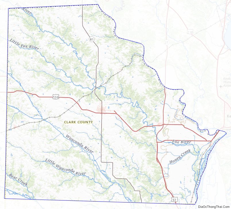
According to the U.S. Census Bureau, the county has a total area of 512 square miles (1,330 km), of which 505 square miles (1,310 km) is land and 7.1 square miles (18 km) (1.4%) is water.
Adjacent counties
- Van Buren County, Iowa (north)
- Lee County, Iowa (northeast)
- Hancock County, Illinois (east)
- Lewis County (south)
- Knox County (southwest)
- Scotland County (west)
Major highways
- U.S. Route 61
- U.S. Route 136
- Route 27
- Route 81
National protected area
- Great River National Wildlife Refuge (part)
Clark County Topographic Map
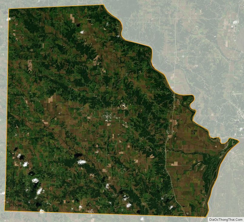
Clark County Satellite Map
Clark County Outline Map