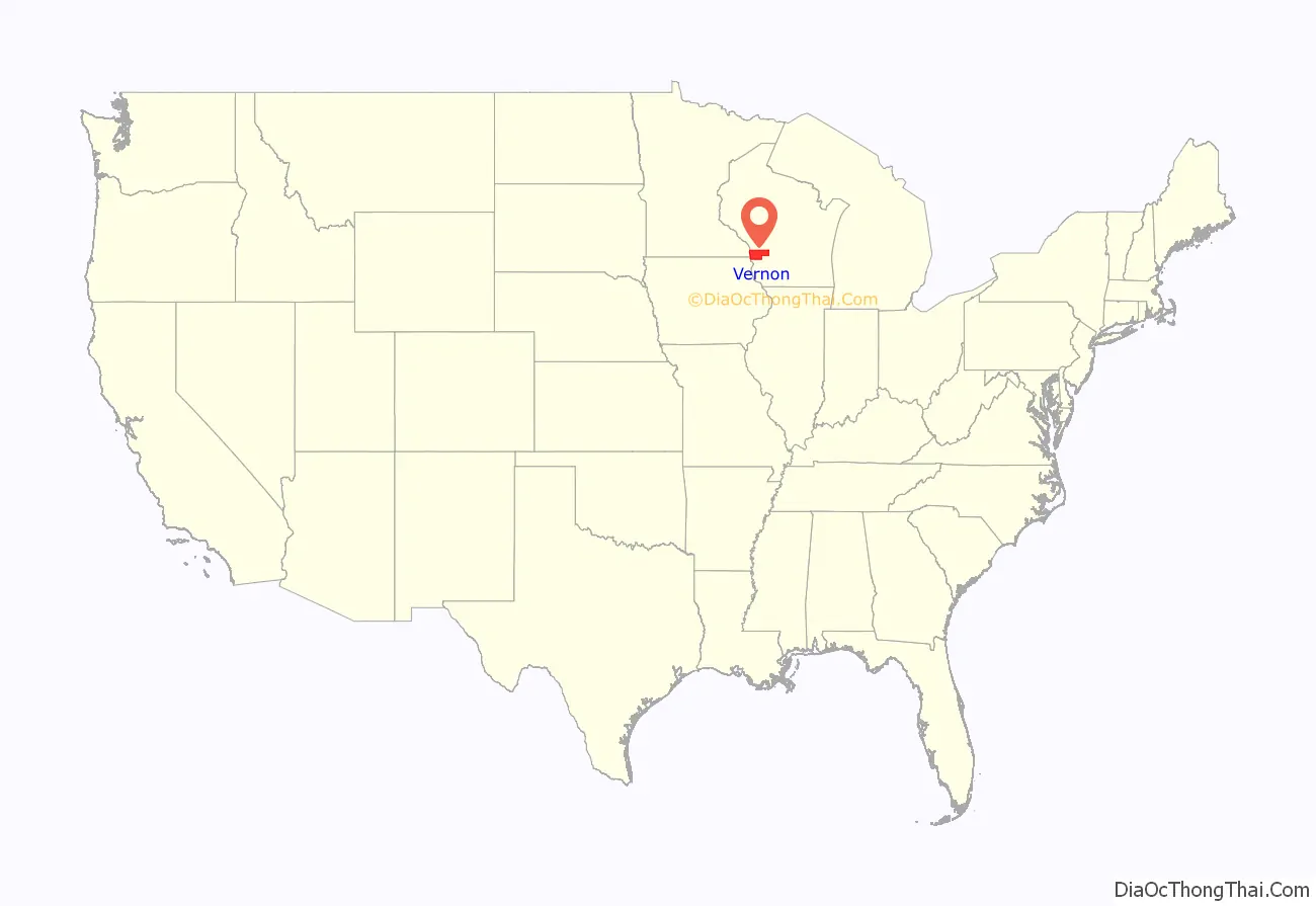
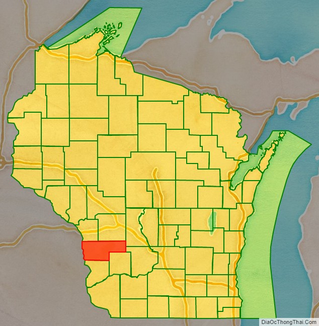
Vernon County is a county in the U.S. state of Wisconsin. As of the 2020 census, the population was 30,714. Its county seat is Viroqua.
| Name: | Vernon County |
|---|---|
| FIPS code: | 55-123 |
| State: | Wisconsin |
| Founded: | 1851 |
| Named for: | Mount Vernon |
| Seat: | Viroqua |
| Largest city: | Viroqua |
| Total Area: | 816 sq mi (2,110 km²) |
| Land Area: | 792 sq mi (2,050 km²) |
| Total Population: | 30,714 |
| Population Density: | 38/sq mi (15/km²) |
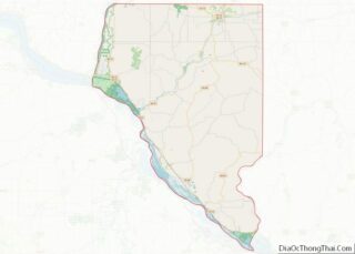
Vernon County location map. Where is Vernon County?
History
Vernon County was renamed from Bad Ax County on March 22, 1862. Bad Ax County had been created on March 1, 1851, from territory that had been part of Richland and Crawford counties. The name Vernon was chosen to reflect the county’s green fields of wheat and to evoke Mount Vernon.
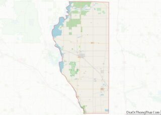
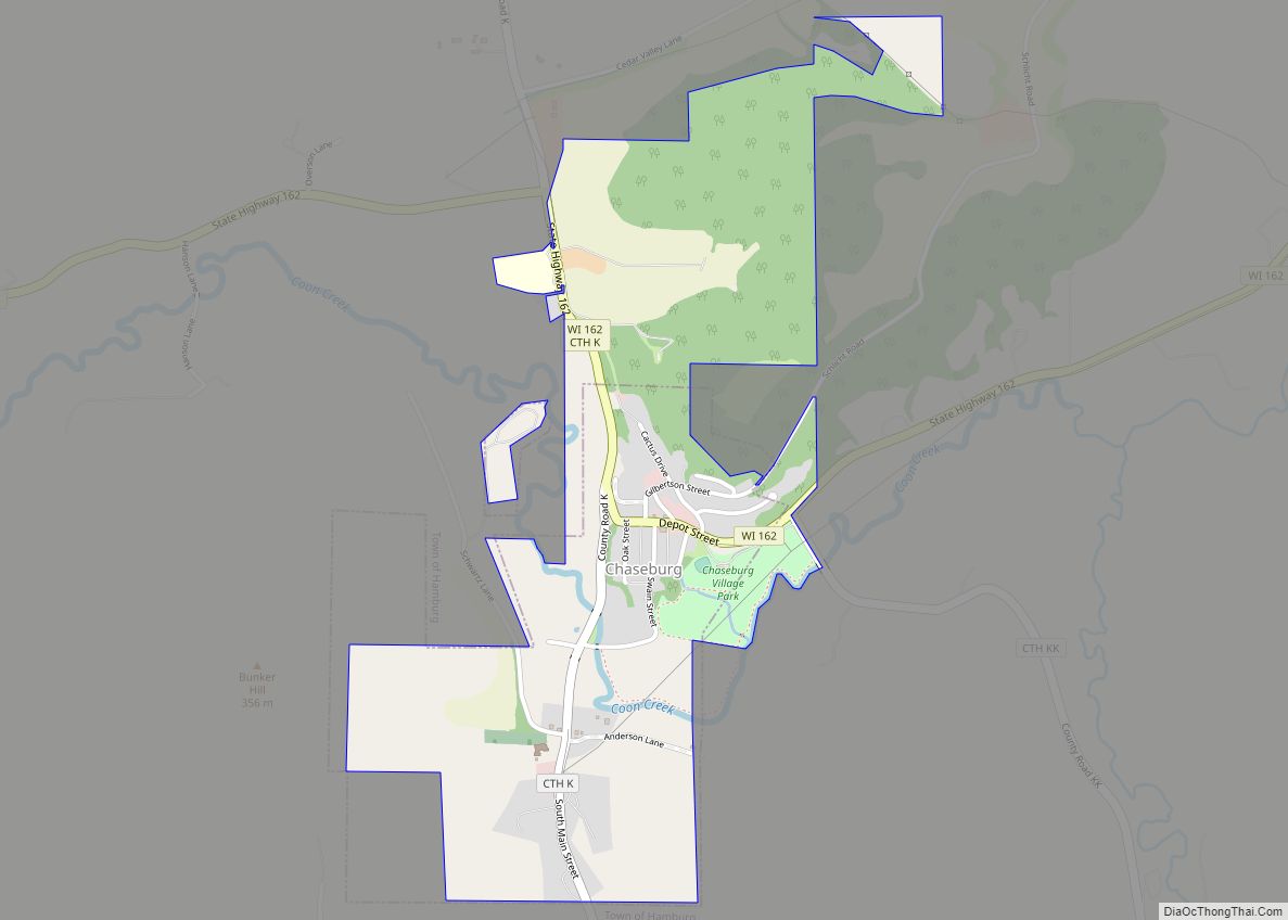
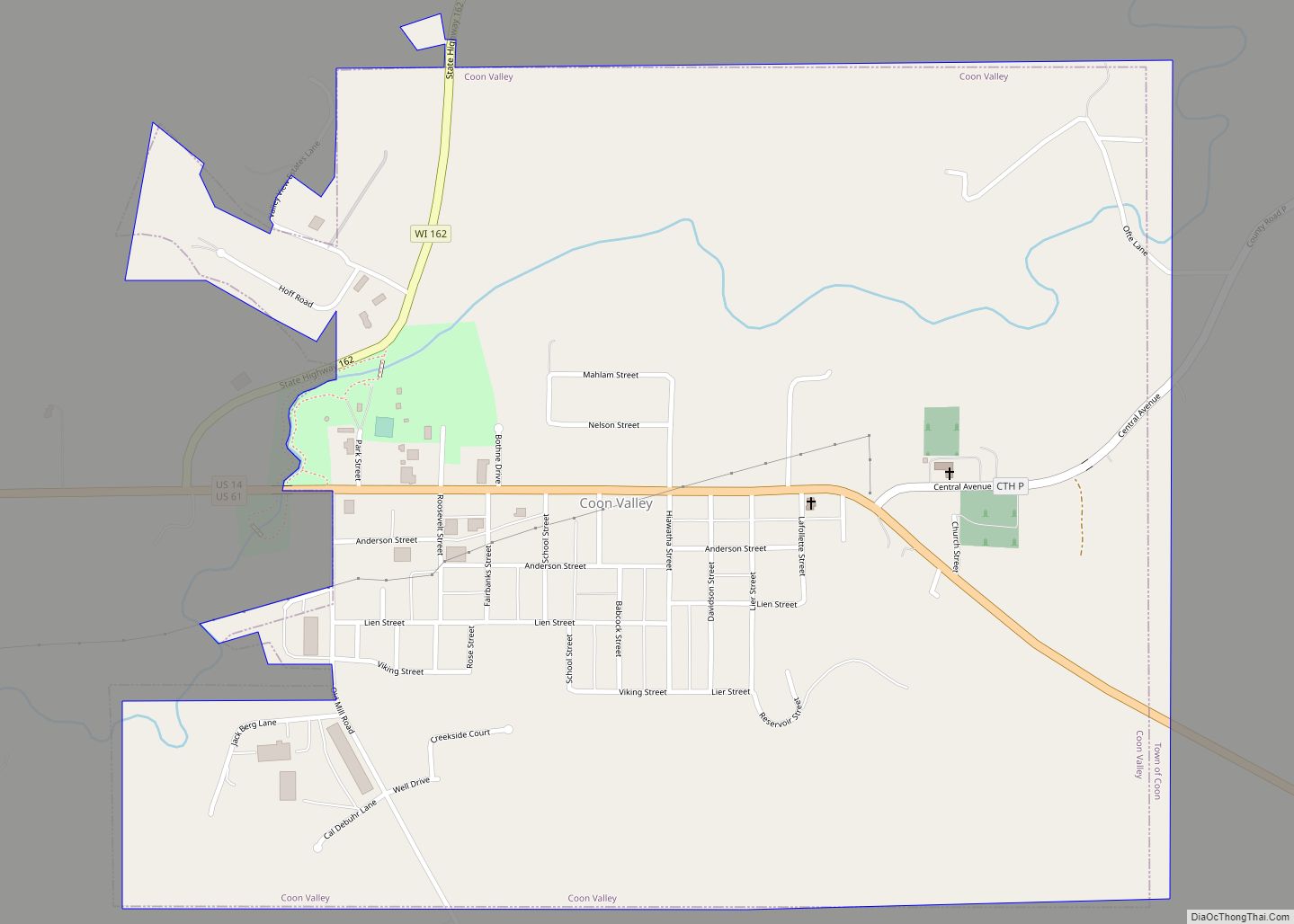
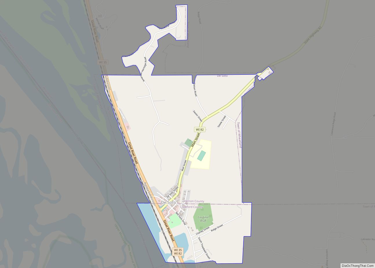
Vernon County Road Map
Geography
According to the U.S. Census Bureau, the county has a total area of 816 square miles (2,110 km), of which 792 square miles (2,050 km) is land and 25 square miles (65 km) (3.0%) is water.
Major highways
- U.S. Highway 14
- U.S. Highway 61
- Highway 27 (Wisconsin)
- Highway 33 (Wisconsin)
- Highway 35 (Wisconsin)
- Highway 56 (Wisconsin)
- Highway 80 (Wisconsin)
- Highway 82 (Wisconsin)
- Highway 131 (Wisconsin)
- Highway 162 (Wisconsin)
Railroads
- BNSF
Buses
- Scenic Mississippi Regional Transit
- List of intercity bus stops in Wisconsin
Airports
- Viroqua Municipal Airport (Y51) serves the county and surrounding communities.
- The Joshua Sanford Field airport (
KHBW) closed on November 10, 2016.
Adjacent counties
- La Crosse County – northwest
- Monroe County – north
- Juneau County – northeast
- Sauk County – east
- Richland County – southeast
- Crawford County – south
- Allamakee County, Iowa – southwest
- Houston County, Minnesota – west
