La Crosse County is a county located in the U.S. state of Wisconsin. At the 2020 census, the population was 120,784. Its county seat is La Crosse. La Crosse County is included in the La Crosse-Onalaska, WI-MN Metropolitan Statistical Area with a population of 139,627 and is the most populous county on Wisconsin’s western border.
| Name: | La Crosse County |
|---|---|
| FIPS code: | 55-063 |
| State: | Wisconsin |
| Founded: | 1851 |
| Seat: | La Crosse |
| Largest city: | La Crosse |
| Total Area: | 480 sq mi (1,200 km²) |
| Land Area: | 452 sq mi (1,170 km²) |
| Total Population: | 120,784 |
| Population Density: | 250/sq mi (97/km²) |
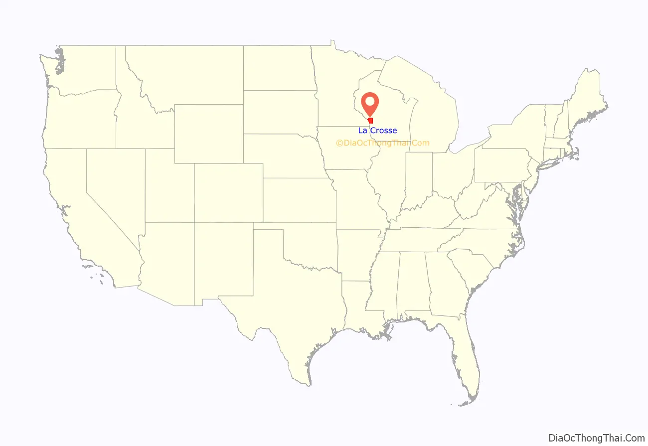
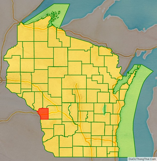
La Crosse County location map. Where is La Crosse County?
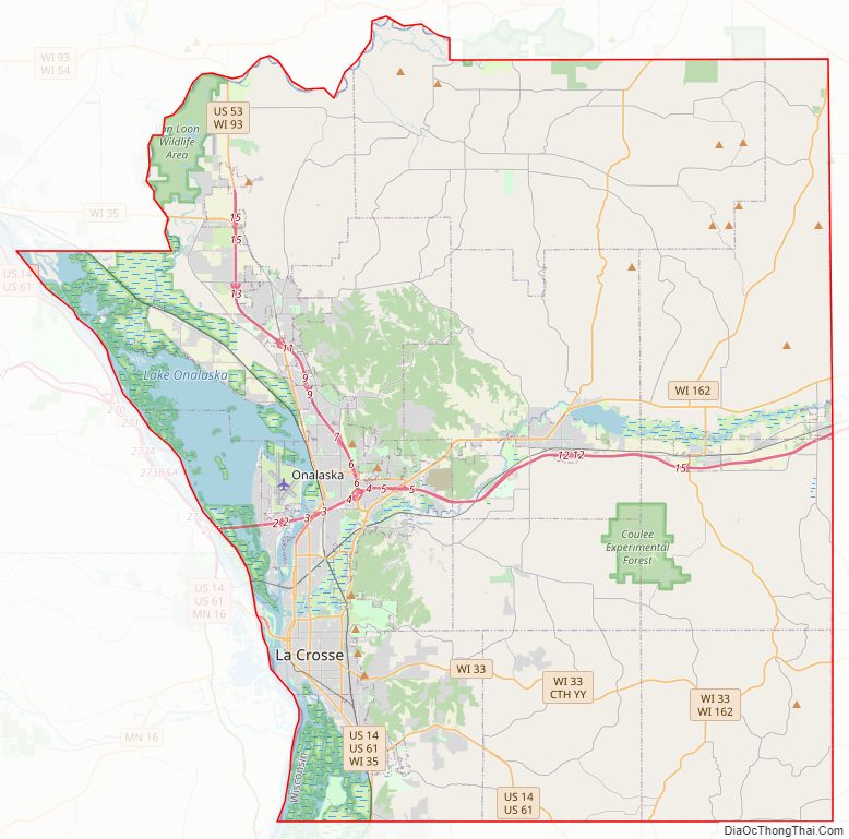
La Crosse County Road Map
Geography
According to the U.S. Census Bureau, the county has a total area of 480 square miles (1,200 km), of which 452 square miles (1,170 km) is land and 28 square miles (73 km) (5.9%) is water.
Major highways
- Interstate 90
- U.S. Highway 14
- U.S. Highway 53
- U.S. Highway 61
- Highway 16 (Wisconsin)
- Highway 33 (Wisconsin)
- Highway 35 (Wisconsin)
- Highway 108 (Wisconsin)
- Highway 162 (Wisconsin)
Railroads
- Amtrak
- BNSF
- Canadian Pacific
- La Crosse station
Buses
- La Crosse MTU
- Scenic Mississippi Regional Transit
- List of intercity bus stops in Wisconsin
Airport
- LSE – La Crosse Regional Airport
Adjacent counties
- Trempealeau County – northwest
- Jackson County – northeast
- Monroe County – east
- Vernon County – south
- Houston County, Minnesota – southwest
- Winona County, Minnesota – west
Climate
La Crosse County’s location in the United States’ upper midwest gives the area a temperate, continental climate. The warmest month of the year is July, when the average high temperature is 84.1 °F (28.9 °C), with overnight low temperatures averaging 63.2 °F (17.3 °C). January is the coldest month, with high temperatures averaging 25.9 °F (−3.4 °C), with the overnight low temperatures around 8.9 °F (−12.8 °C).
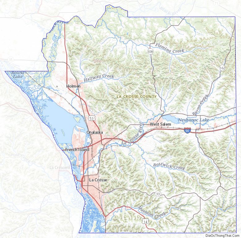
La Crosse County Topographic Map
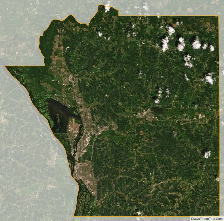
La Crosse County Satellite Map
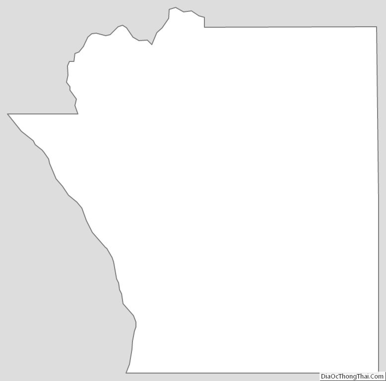
La Crosse County Outline Map