Viroqua is the county seat of Vernon County, Wisconsin, United States. The population was 4,504 at the 2020 census. The city is in the town of Viroqua.
| Name: | Viroqua city |
|---|---|
| LSAD Code: | 25 |
| LSAD Description: | city (suffix) |
| State: | Wisconsin |
| County: | Vernon County |
| Total Area: | 4.36 sq mi (11.29 km²) |
| Land Area: | 4.36 sq mi (11.29 km²) |
| Water Area: | 0.00 sq mi (0.00 km²) |
| Total Population: | 4,504 |
| Population Density: | 1,033.7/sq mi (399.1/km²) |
| ZIP code: | 54665 |
| Area code: | 608 |
| FIPS code: | 5582925 |
| Website: | viroqua-wisconsin.com |
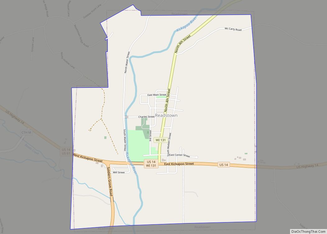
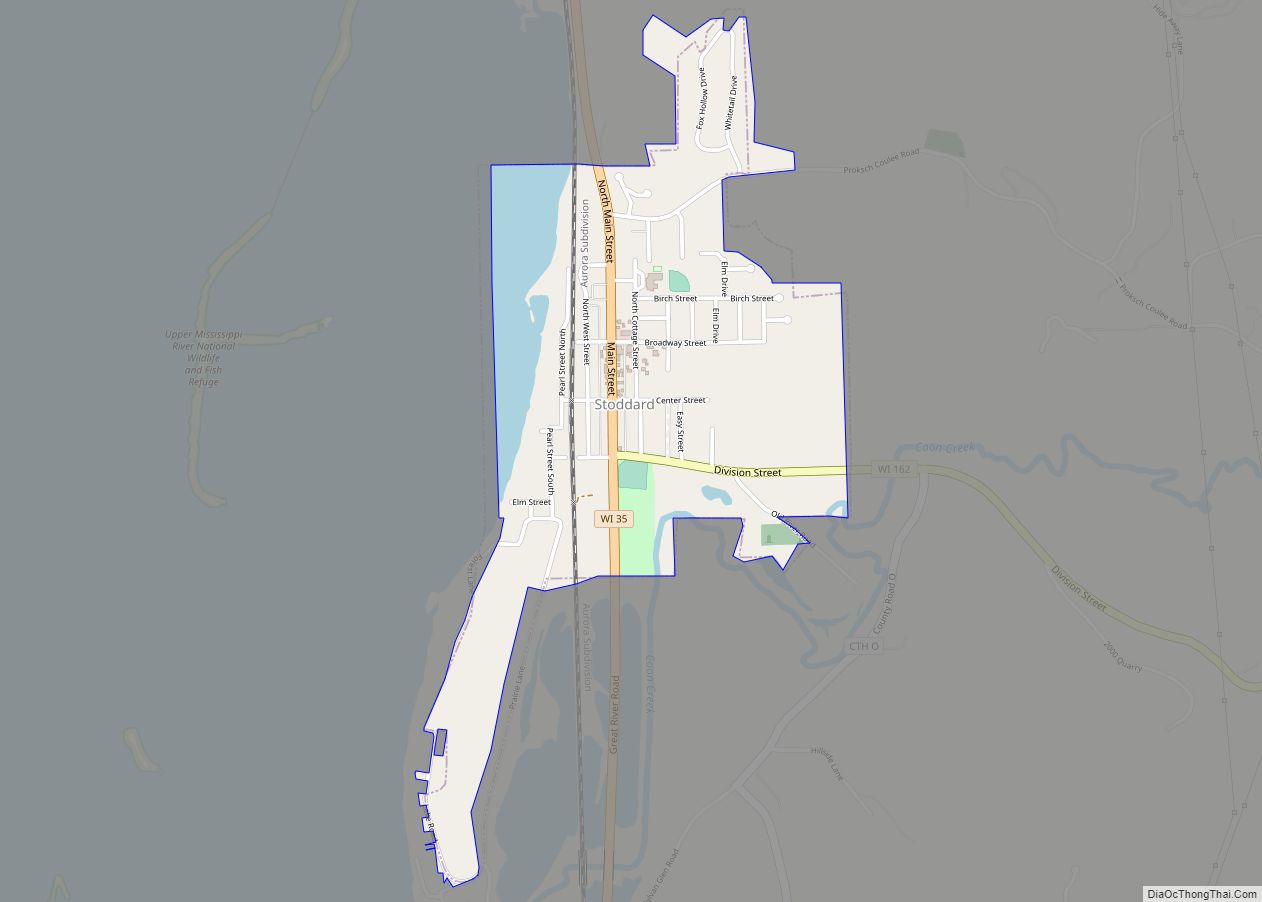
Online Interactive Map
Click on ![]() to view map in "full screen" mode.
to view map in "full screen" mode.
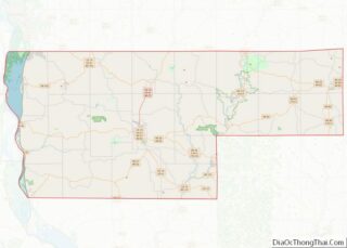
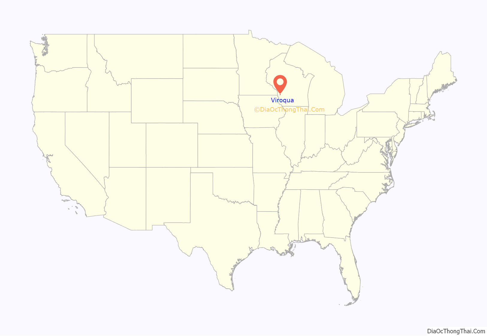
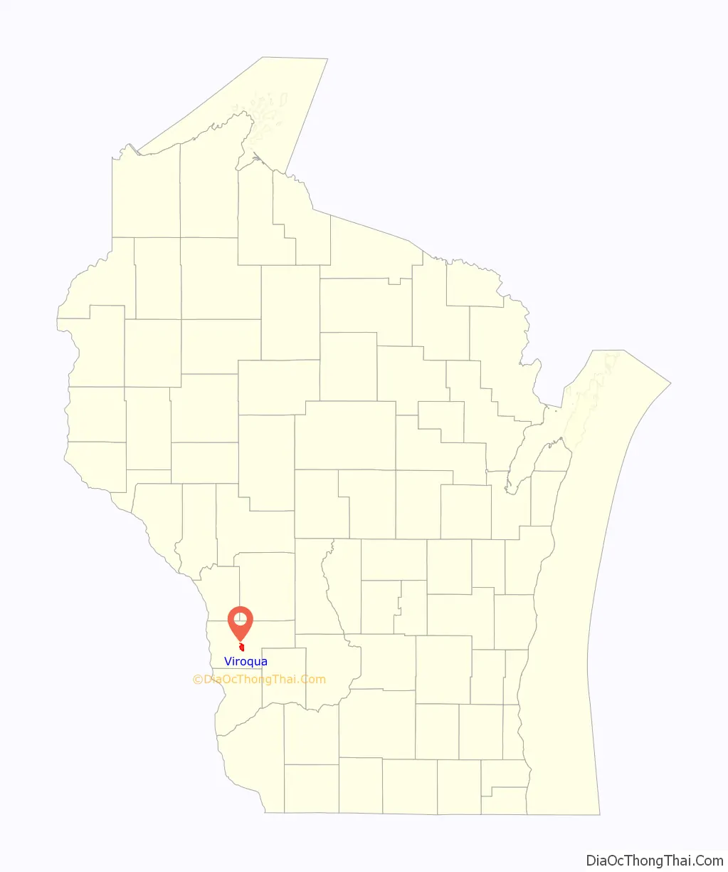
Viroqua location map. Where is Viroqua city?
History
The Native American Ho-Chunk people inhabited the area now known as Vernon County and the area of Viroqua. The Ho-Chunk, formerly known as the Winnebago, are a Siouan-speaking people who lived in the western Great Lakes region for thousands of years. The Ho-Chunk were removed westward beginning in the 1820s.
There was a sharp rivalry between Viroqua and Springville to be named the county seat of Vernon County. A deed for 40 acres (160,000 m) of land was promised by pioneer Moses Decker, on condition that Viroqua be chosen as the county seat. The land constituted what became known as the County Addition to the city of Viroqua.
Decker was one of the early settlers in the area. He arrived in 1847 and laid out the village of Viroqua. He died in 1860. Earlier settlers arrived in 1844 and built lumber mills on the Kickapoo River. Farmers began arriving in 1846, some of whom were John Graham, T.J. Defreese and William C. McMichael.
In early 1851, the act authorizing the organization of Bad Axe, now Vernon County, was approved by Governor Nelson Dewey. Viroqua was awarded the county seat, pending a permanent location to be determined by a vote. In May 1852, residents voted in favor of Viroqua. The present Vernon County Courthouse was built in Viroqua in 1880.
On June 28, 1865, Viroqua was hit by a deadly tornado that left 22 dead.
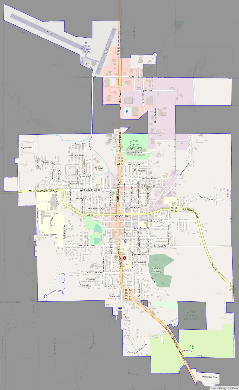
Viroqua Road Map
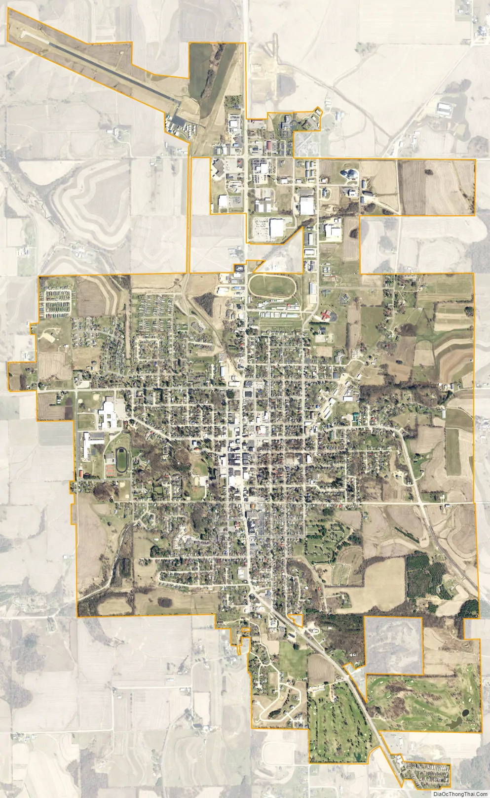
Viroqua city Satellite Map
Geography
Viroqua is located at 43°33′23″N 90°53′15″W / 43.55639°N 90.88750°W / 43.55639; -90.88750 (43.556534, -90.887663). According to the United States Census Bureau, the city has a total area of 3.80 square miles (9.84 km), all land. The city is in the Driftless Region, near the western end of the Ocooch Mountains.
Climate
See also
Map of Wisconsin State and its subdivision:- Adams
- Ashland
- Barron
- Bayfield
- Brown
- Buffalo
- Burnett
- Calumet
- Chippewa
- Clark
- Columbia
- Crawford
- Dane
- Dodge
- Door
- Douglas
- Dunn
- Eau Claire
- Florence
- Fond du Lac
- Forest
- Grant
- Green
- Green Lake
- Iowa
- Iron
- Jackson
- Jefferson
- Juneau
- Kenosha
- Kewaunee
- La Crosse
- Lafayette
- Lake Michigan
- Lake Superior
- Langlade
- Lincoln
- Manitowoc
- Marathon
- Marinette
- Marquette
- Menominee
- Milwaukee
- Monroe
- Oconto
- Oneida
- Outagamie
- Ozaukee
- Pepin
- Pierce
- Polk
- Portage
- Price
- Racine
- Richland
- Rock
- Rusk
- Saint Croix
- Sauk
- Sawyer
- Shawano
- Sheboygan
- Taylor
- Trempealeau
- Vernon
- Vilas
- Walworth
- Washburn
- Washington
- Waukesha
- Waupaca
- Waushara
- Winnebago
- Wood
- Alabama
- Alaska
- Arizona
- Arkansas
- California
- Colorado
- Connecticut
- Delaware
- District of Columbia
- Florida
- Georgia
- Hawaii
- Idaho
- Illinois
- Indiana
- Iowa
- Kansas
- Kentucky
- Louisiana
- Maine
- Maryland
- Massachusetts
- Michigan
- Minnesota
- Mississippi
- Missouri
- Montana
- Nebraska
- Nevada
- New Hampshire
- New Jersey
- New Mexico
- New York
- North Carolina
- North Dakota
- Ohio
- Oklahoma
- Oregon
- Pennsylvania
- Rhode Island
- South Carolina
- South Dakota
- Tennessee
- Texas
- Utah
- Vermont
- Virginia
- Washington
- West Virginia
- Wisconsin
- Wyoming