Waynesboro (formerly Flack) is an independent city in the Commonwealth of Virginia. It is a principal city of the Staunton-Waynesboro Metropolitan Statistical Area. Waynesboro is located in the Shenandoah Valley and is surrounded by Augusta County. As of the 2020 census, the population was 22,196.
| Name: | Waynesboro City |
|---|---|
| FIPS code: | 51-820 |
| State: | Virginia |
| Total Area: | 15.11 sq mi (39.14 km²) |
| Land Area: | 14.97 sq mi (38.77 km²) |
| Total Population: | 22,196 |
| Population Density: | 1,500/sq mi (570/km²) |
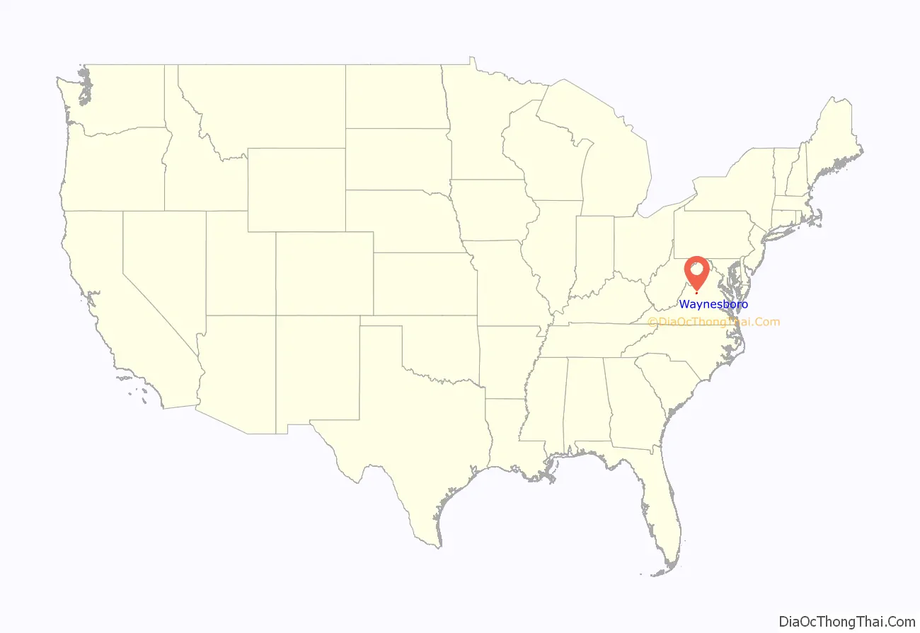
Waynesboro City location map. Where is Waynesboro City?
History
Located in the British Colony of Virginia, even after the American Revolution and independence and statehood for the Commonwealth of Virginia, the areas west of the Appalachian and Blue Ridge Mountains were known as the frontier. Travel by wagon over the mountains was considered to be nearly impossible except where nature afforded some gap between them. Until after the Civil War, Jarmans Gap, only some six miles northeast of Waynesboro, was the major crossing of the Blue Ridge Mountains in that area, making Waynesboro a convenient location for a stop for many who sought to travel west.
In the mid-18th century, the Waynesboro area was commonly referred to as Teasville (or Teesville). Shortly after U.S. Army General Anthony Wayne’s significant victory at Battle of Fallen Timbers in 1794 during the Northwest Indian War, the area began to be called Waynesborough. Many settlers to the area at the time originated from Pennsylvania. General Wayne’s well-known popularity with Pennsylvanians is suspected to have helped contribute to this naming.
As early as 1798, the current downtown area was plotted and sold. On January 8, 1801, the town of Waynesborough was officially recognized by the state of Virginia and was incorporated by 1834.
Some of the remaining buildings from this period of its history include the Plumb House (now a museum open for tours seasonally) and the Coiner-Quesenbury House, built in 1806, believed to be the first brick house built in the town, which is still standing on Main Street.
Population growth in the town was slow at first. In 1810, the town had a population of 250, and by 1860 that number had grown to 457. The town maintained a steady stream of visitors primarily due to its position on Three Notch’d Road, which connected Staunton to the west with Charlottesville and Richmond to the east. This road crossed the Blue Ridge Mountains through Jarman’s Gap. Additionally, a railroad tunnel was constructed through Rockfish Gap a short time before the Civil War began. This was to establish Rockfish Gap as the major crossing through the mountains between Waynesboro and Charlottesville.
On March 2, 1865, Waynesboro was the site of the last battle of the Civil War for the Confederate Lt. General Jubal A. Early. The Battle of Waynesboro lasted twenty minutes, and was a final blow for the Confederate Army in the Shenandoah Valley. Sometime after, General Early relinquished the town and the valley to General Philip Sheridan. Many of the buildings from this period still show damage from the battle. During and after the war, casualties from the nearby Valley Campaign and other battles were buried in Ridgeview Cemetery where the Waynesboro Confederate Monument lists and commemorates their names and states.
After the war, the Waynesboro area became the junction of two important railroad lines: an east-to-west track (operated by the Chesapeake and Ohio Railway) and a north-south trunk line (of the Shenandoah Valley Railroad, which soon became the Norfolk and Western Railway). The tracks intersected near Waynesboro, giving the site the nickname of the “Iron Cross.” The transportation advantages coming from the Iron Cross fueled great hopes for economic development.
In a flurry of land speculation, land lots to the east of Waynesboro, mostly on the east side of South River, were plotted and sold in 1890. Within that year, the area was incorporated as the Town of Basic City. An opera house, a wide boulevard called Commerce Avenue, and the upscale Hotel Brunswick were built there. A friendly rivalry soon developed between the two towns with each attempting to outdo the other regarding their development. The overall population from May 1, 1890, to May 1 of 1891 rose 150% (from 1,000 people to 2,500). An important difference between the two was that, unlike Basic City, Waynesboro had implemented restrictive laws banning the sale of alcohol. Effects of the Panic of 1896 abruptly dried up the boomtown investment in Basic City; grand plans for more hotels and manufacturing complexes were scuttled. The established blocks of small-size land plots meant for worker housing remain, and today the former Basic City area is largely low-income housing.
Waynesboro steadily prospered and circa 1900-1920 many spacious houses were built on a scenic hill that was gridded into the “Tree Streets” neighborhood, with residential lanes named Oak Avenue, Chestnut Avenue, Poplar Avenue, and the like. In 1923, Waynesboro and Basic City consolidated into a single town to be called Waynesboro-Basic. Later, officials dropped Basic and the name became Waynesboro, with the former Basic City disappearing as one of the “lost towns of Virginia.” Since 1924, Waynesboro has made numerous territorial acquisitions from areas of Augusta County through annexation and officially became an independent city in 1948. In 2005, Waynesboro established a new charter, repealing one in place since 1948.
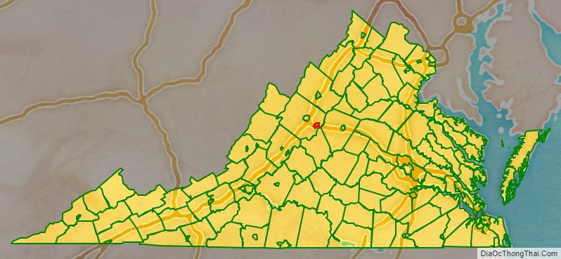
Waynesboro City Road Map
Geography
Waynesboro is located at 38°4′11″N 78°53′40″W / 38.06972°N 78.89444°W / 38.06972; -78.89444 (38.069874, -78.894517). It is 1,305 feet above sea level. According to the United States Census Bureau, the city has a total area of 15.2 square miles (39.4 km), of which 15.0 square miles (38.8 km) is land and 0.2 square miles (0.52 km) (1.0%) is water.
Waynesboro is located in the Shenandoah Valley, The South River, a tributary of the Shenandoah River, flows through the city.
Climate
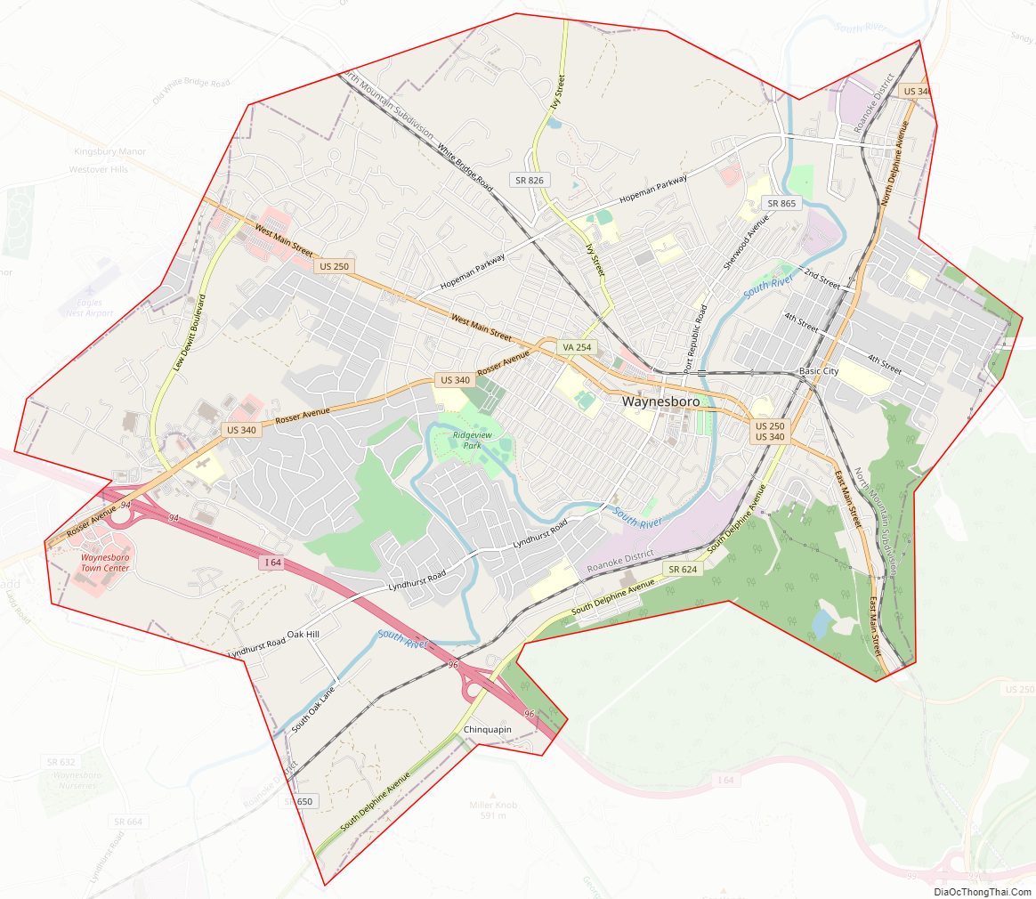
Waynesboro City Topographic Map
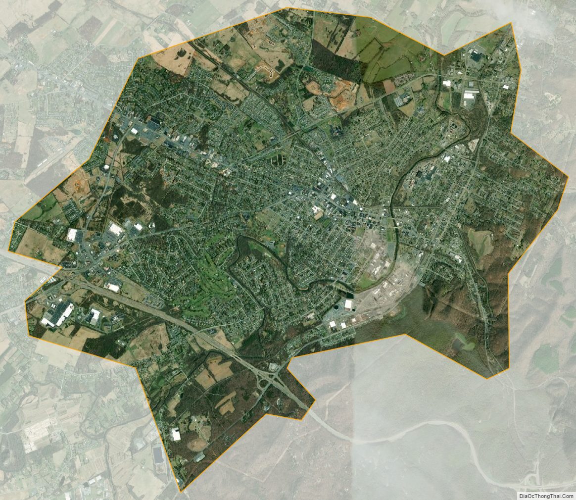
Waynesboro City Satellite Map
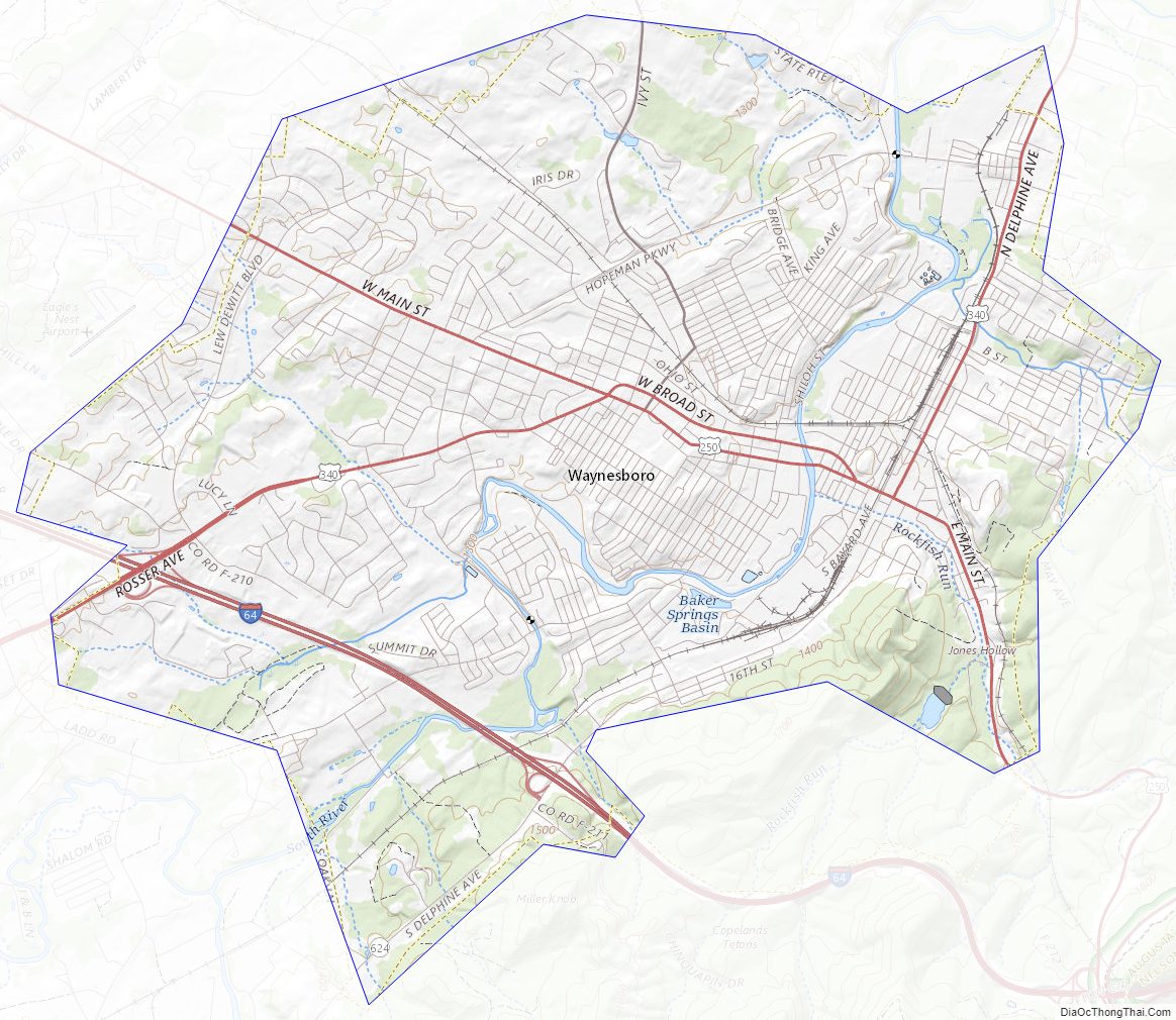
Waynesboro City Outline Map