Augusta County is a county in the Shenandoah Valley on the western edge of the Commonwealth of Virginia. The second-largest county of Virginia by total area, it completely surrounds the independent cities of Staunton and Waynesboro. Its county seat is Staunton, but most of the administrative services have offices in neighboring Verona.
The county was created in 1738 from part of Orange County and was named after Princess Augusta of Saxe-Gotha. It was originally a huge area, but many of its parts were carved out to form other counties and several states until the current borders were finalized in 1790.
As of the 2020 census, the county’s population was 77,487. Along with Staunton and Waynesboro, it forms the Staunton–Waynesboro, VA Metropolitan Statistical Area.
| Name: | Augusta County |
|---|---|
| FIPS code: | 51-015 |
| State: | Virginia |
| Founded: | 1738 |
| Named for: | Princess Augusta of Saxe-Gotha |
| Seat: | Staunton |
| Total Area: | 971 sq mi (2,510 km²) |
| Land Area: | 967 sq mi (2,500 km²) |
| Total Population: | 77,487 |
| Population Density: | 80/sq mi (31/km²) |
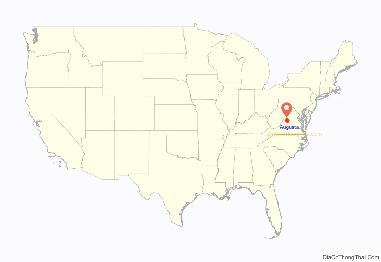
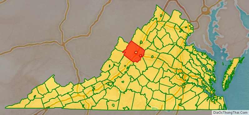
Augusta County location map. Where is Augusta County?
History
Augusta County was formed in 1738 from Orange County, although, because few people lived there, the county government was not organized until 1745. It was named for Augusta of Saxe-Gotha, Princess of Wales and mother of the future King George III of the United Kingdom.
Originally, Augusta County was a vast territory with an indefinite western boundary. Most of what is now West Virginia as well as the whole of Kentucky were within its early bounds. Additionally, the territory north and west of those areas, theoretically all the way to the Pacific Ocean, were as well.
Reductions in its extent began in 1770, when its southern part became Botetourt County. In 1776 part of western Augusta County, an area also known as the District of West Augusta, became Monongalia County, Ohio County, and Yohogania County (abolished in 1786). In 1778 the portion of Augusta County north and west of the Ohio River became Illinois County (abolished in 1784); the northeastern part of what was remained became Rockingham County, and the southwestern part was combined with part of Botetourt County to form Rockbridge County. In 1788 the northern part of the county was combined with part of Hardy County to become Pendleton County. Augusta County assumed its present dimensions in 1790, when its western part was combined with parts of Botetourt County and Greenbrier County to form Bath County.
During the Civil War, Augusta County served as an important agricultural center as part of the “Breadbasket of the Confederacy.” The Virginia Central Railroad ran through the county, linking the Shenandoah Valley to the Confederate capital at Richmond. One of the bloodiest engagements fought in the Shenandoah Valley took place on June 5, 1864, at the Battle of Piedmont, a Union victory that allowed the Union Army to occupy Staunton and destroy many of the facilities that supported the Confederate war effort. Augusta County suffered again during General Philip H. Sheridan’s “Burning,” which destroyed many farms and killed virtually all of the farm animals.
Staunton, the county seat for many years, was incorporated as a city in 1871 and separated from Augusta County in 1902. However, it remained the county seat.
Augusta County Road Map
Geography
According to the U.S. Census Bureau, the county has a total area of 971 square miles (2,510 km), of which 967 square miles (2,500 km) is land and 3.9 square miles (10 km) (0.4%) is water. It is the third-largest county in Virginia by land area and second-largest by total area.
Adjacent counties and independent cities
- Staunton (Enclaved)
- Waynesboro (Enclaved)
- Pendleton County, West Virginia (North)
- Rockingham County (Northeast)
- Albemarle County (East)
- Nelson County (Southeast)
- Rockbridge County (Southwest)
- Bath County (West)
- Highland County (Northwest)
Districts
The county is divided into seven magisterial districts: Beverley Manor, Middle River, North River, Pastures, Riverheads, South River, and Wayne.
School systems
The county is serviced by Augusta County Public Schools.
National protected areas
- Blue Ridge Parkway (part)
- George Washington National Forest (part)
- Shenandoah National Park (part)
Regional park
- Natural Chimneys
Major highways
- I-64
- I-81
- US 11
- US 250
- US 340
- SR 42
- SR 56
- SR 252
- SR 254
- SR 256
- SR 262
- SR 276
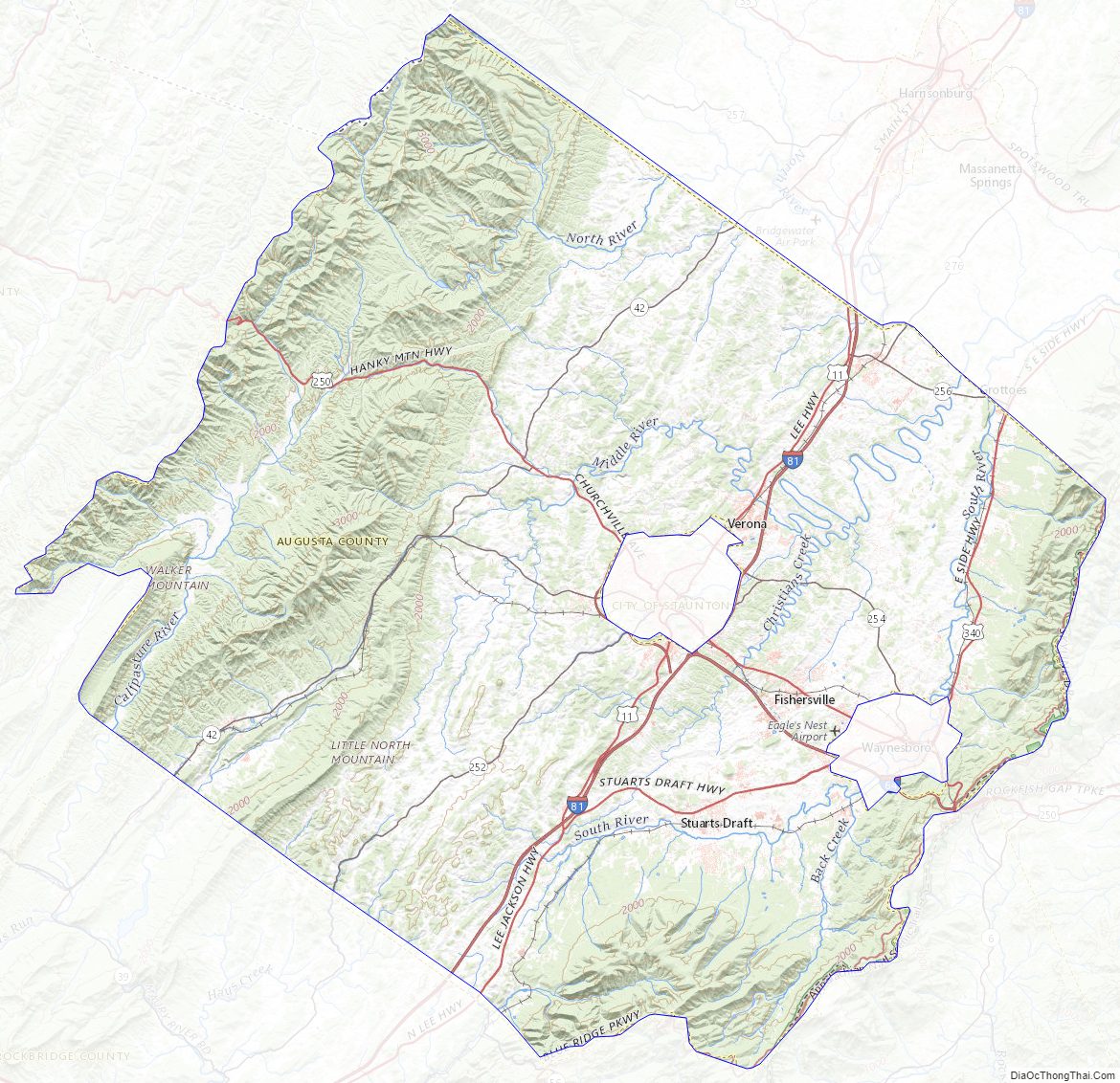
Augusta County Topographic Map
Augusta County Satellite Map

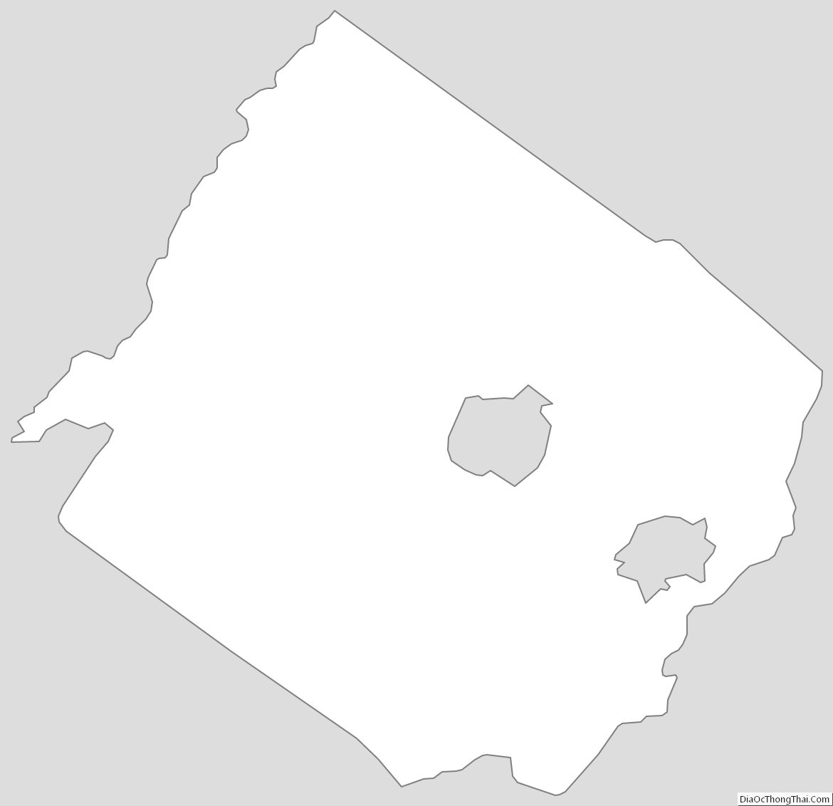
Augusta County Outline Map