Whitfield County is a county located in the northwestern part of the U.S. state of Georgia. As of the 2020 census shows a population of 102,864. The county seat is Dalton. The county was created on December 30, 1851, and named after George Whitefield, Methodist evangelist. The “e” was omitted to reflect the pronunciation of his name.
Whitfield County is part of the Dalton, Georgia Metropolitan Statistical Area, which is also included in the Chattanooga–Cleveland-Dalton, TN-GA-AL Combined Statistical Area.
| Name: | Whitfield County |
|---|---|
| FIPS code: | 13-313 |
| State: | Georgia |
| Founded: | 1851 |
| Named for: | George Whitefield |
| Seat: | Dalton |
| Largest city: | Dalton |
| Total Area: | 291 sq mi (750 km²) |
| Land Area: | 290 sq mi (800 km²) |
| Total Population: | 102,864 |
| Population Density: | 355/sq mi (137/km²) |
| Time zone: | UTC−5 (Eastern) |
| Summer Time Zone (DST): | UTC−4 (EDT) |
| Website: | www.whitfieldcountyga.com |
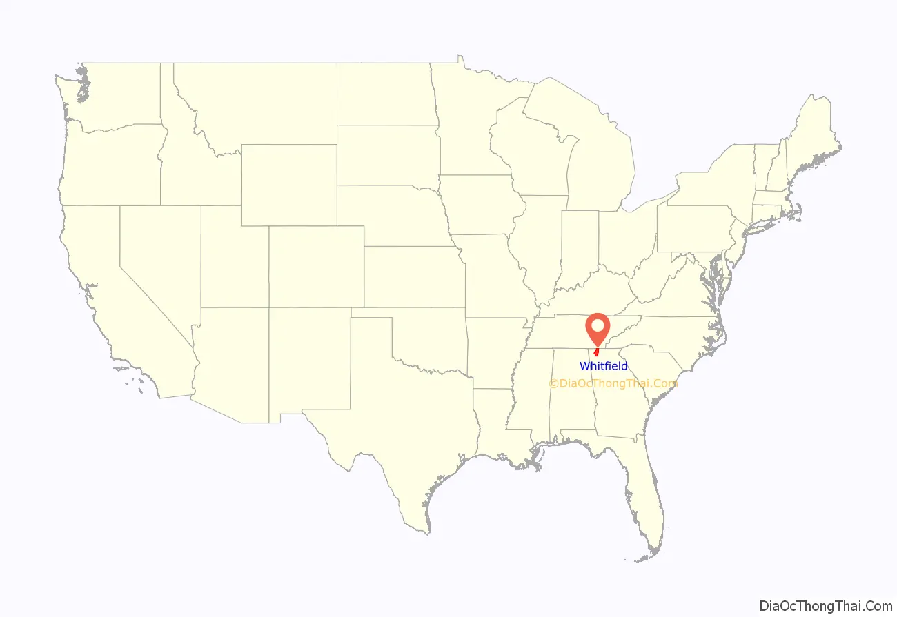
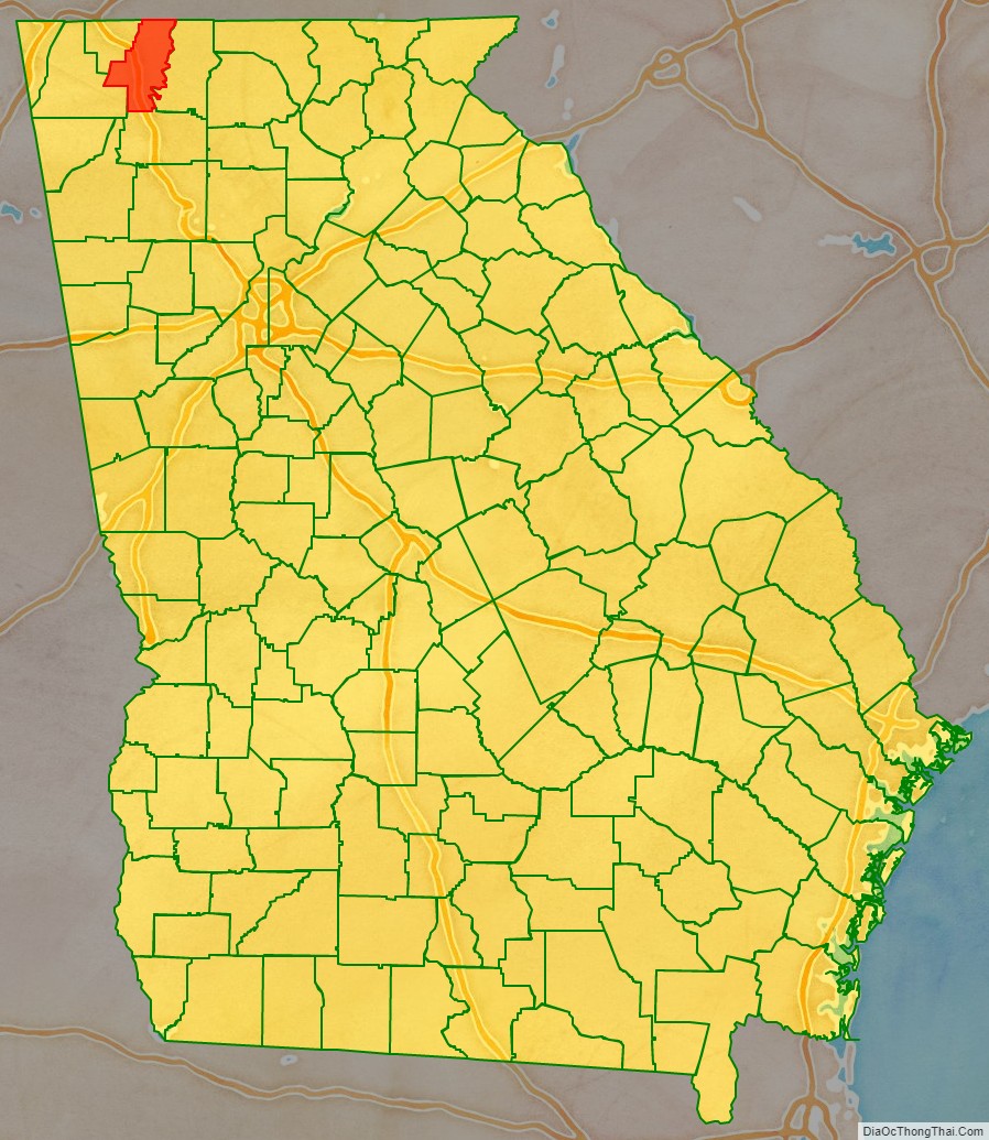
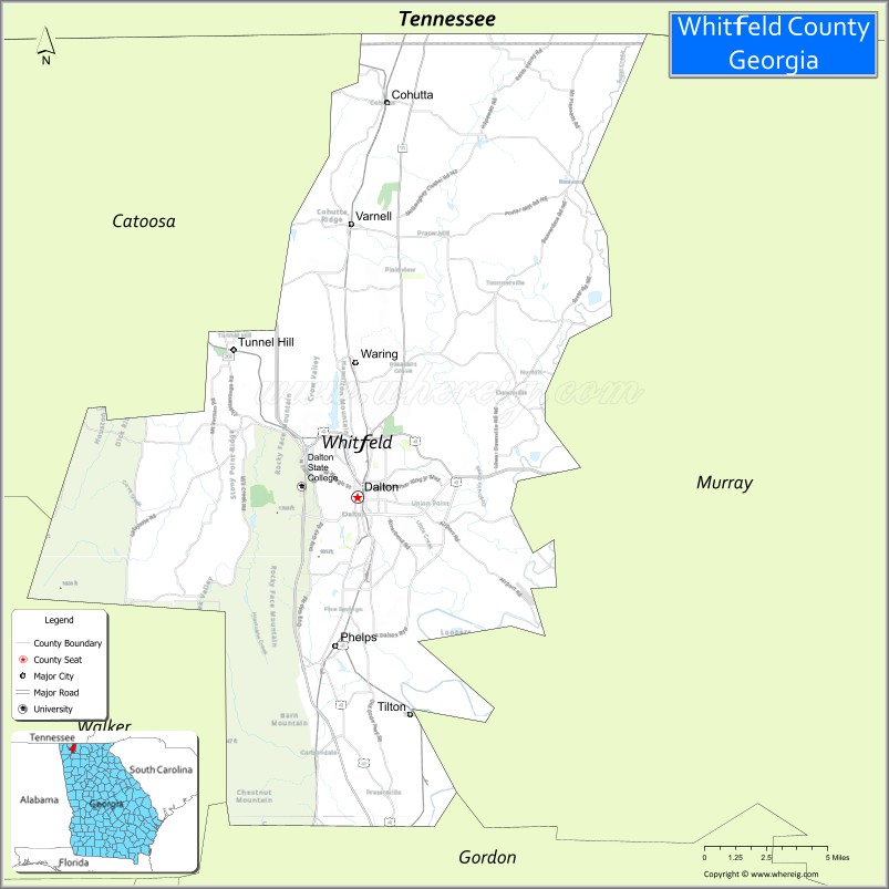
Whitfield County location map. Where is Whitfield County?
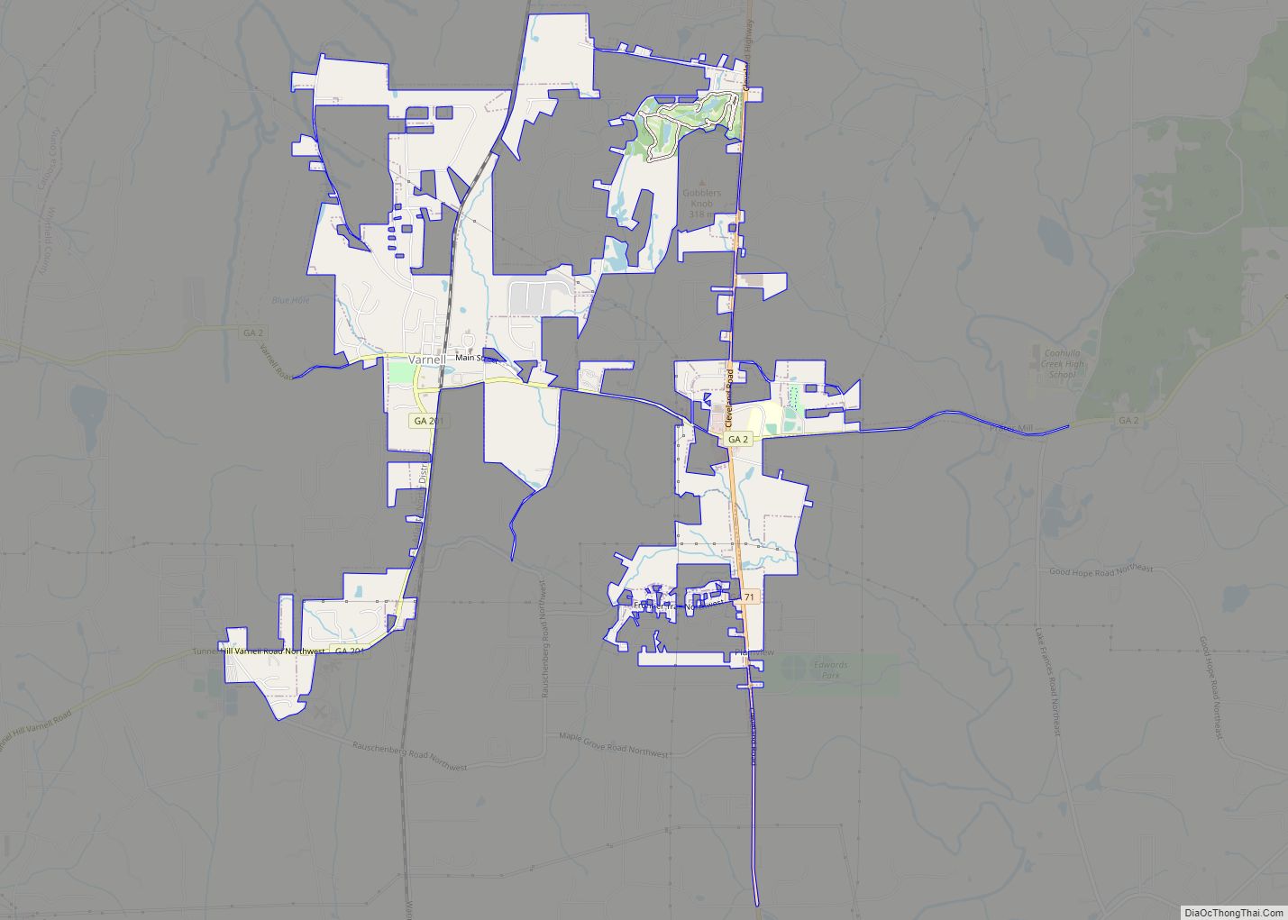
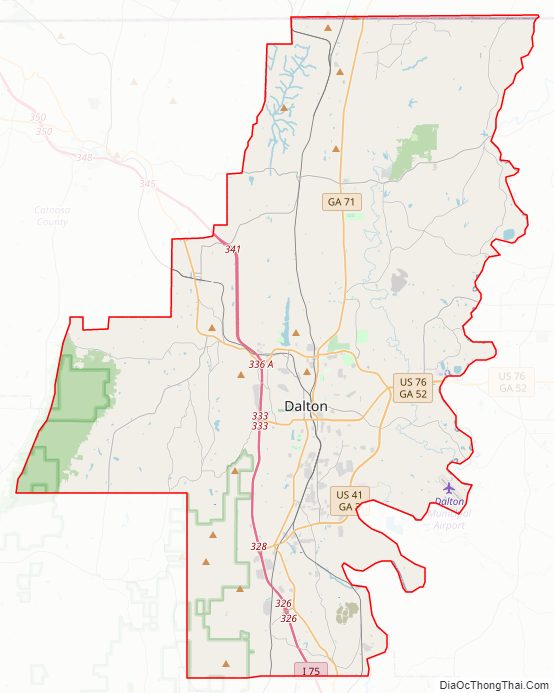
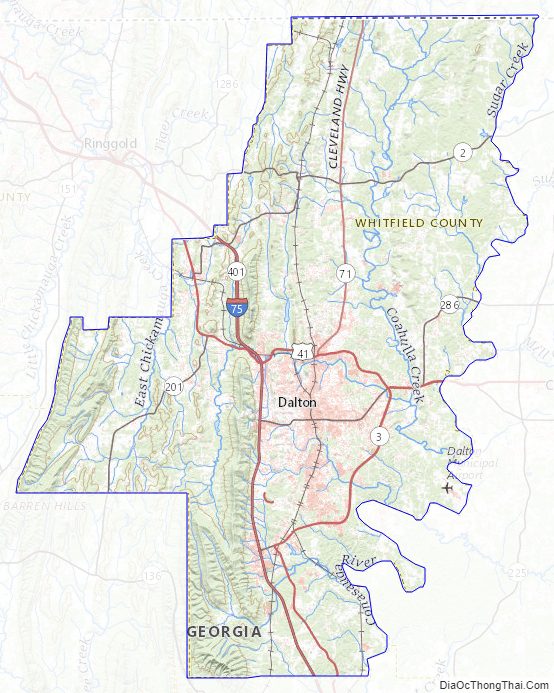
Whitfield County Road Map
Geography
According to the U.S. Census Bureau, the county has a total area of 291 square miles (750 km), of which 290 square miles (750 km) is land and 0.6 square miles (1.6 km) (0.2%) is water. The majority of Whitfield County is located in the Conasauga River sub-basin in the ACT River Basin (Coosa-Tallapoosa River Basin), with a part of the western edge of the county is located in the Middle Tennessee-Chickamauga sub-basin of the Middle Tennessee-Hiwassee basin. A very small portion of the southern edge of the county is located in the Oostanaula River sub-basin in the larger ACT River Basin.
Adjacent counties
- Bradley County, Tennessee (north)
- Murray County (east)
- Gordon County (south)
- Walker County (west-southwest)
- Catoosa County (west-northwest)
- Hamilton County, Tennessee (northwest)
National protected area
- Chattahoochee National Forest (part)
Whitfield County Topographic Map
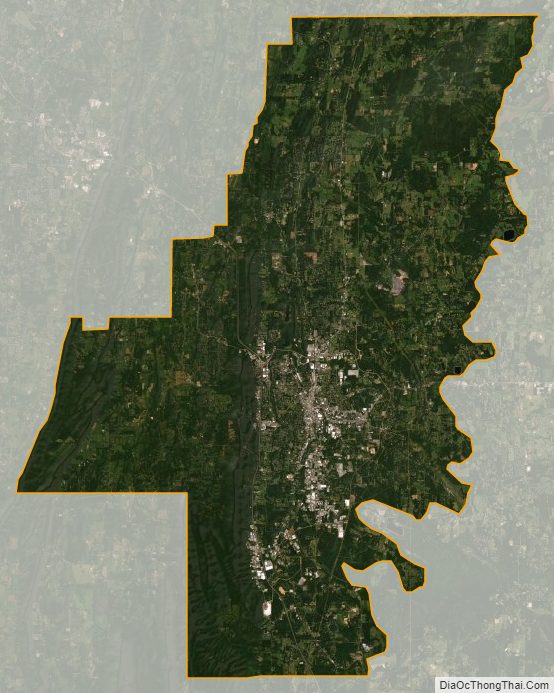
Whitfield County Satellite Map
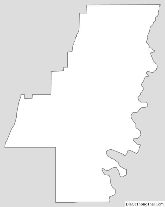
Whitfield County Outline Map