| Name: | Winn Parish |
|---|---|
| FIPS code: | 22-127 |
| State: | Louisiana |
| Founded: | February 24, 1852 |
| Named for: | Walter Winn or Winfield Scott |
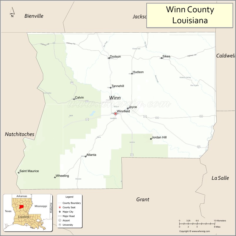
| Seat: | Winnfield |
| Total Area: | 2,480 km² (957 sq mi) |
| Land Area: | 2,500 km² (950 sq mi) |
| Total Population: | 13,755 |
| Population Density: | 5.5/km² (14/sq mi) |
| Time zone: | UTC-6 (CST) |
| Summer Time Zone (DST): | UTC-5 (CDT) |
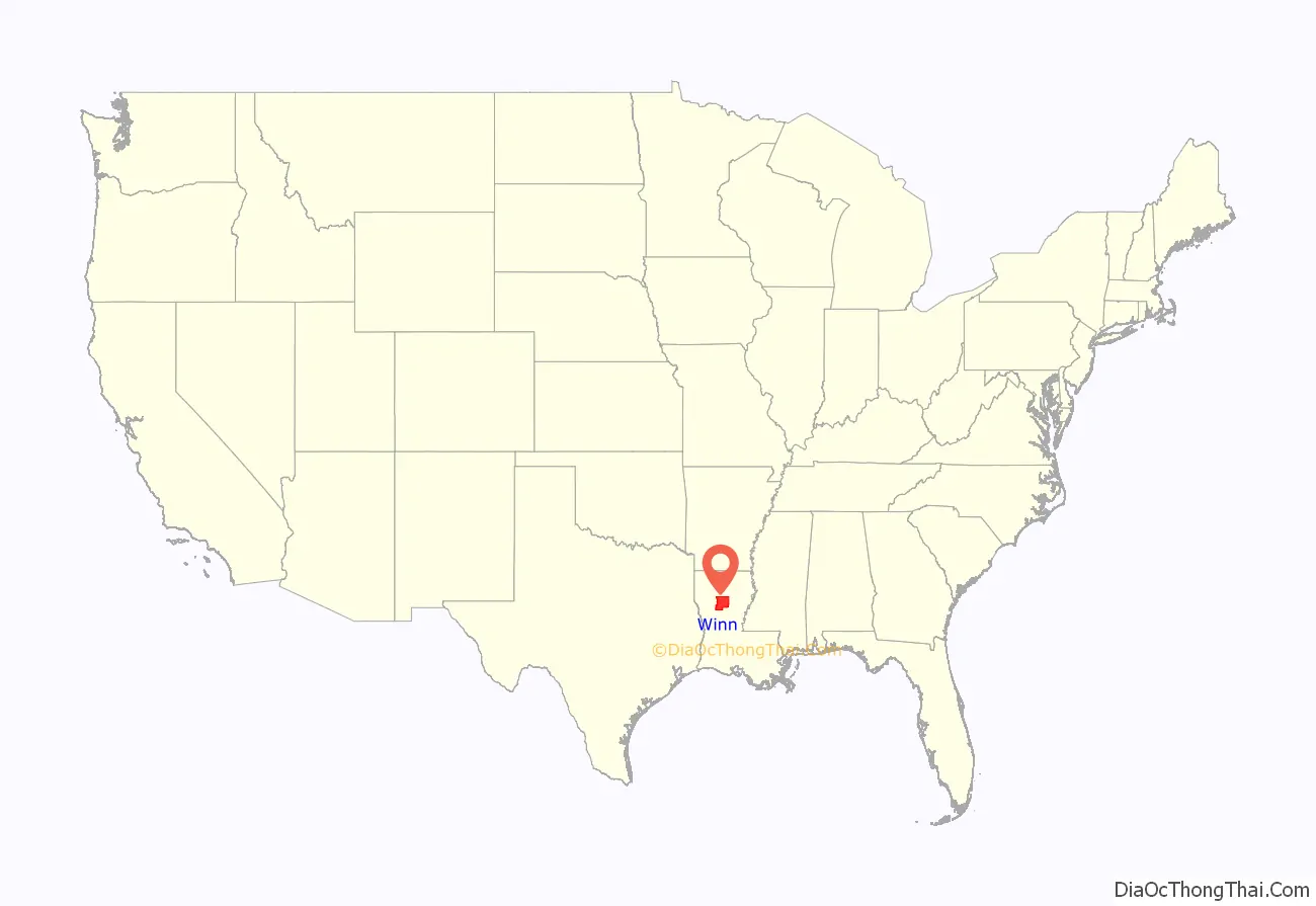
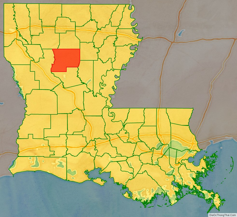
Winn Parish location map. Where is Winn Parish?
History
Winn Parish was established in 1852 from lands which had belonged to the parishes of Catahoula, Natchitoches, and Rapides.
During the Civil War, David Pierson, a young attorney, was elected to represent the parish at the Secession Convention called in January 1861 in Baton Rouge by Governor Thomas Overton Moore. Pierson voted against secession and refused, along with several others, to change his “no” vote at the end of the process when asked to do so to make the final tally unanimous.
That these conscripts refused to fight for the Confederacy is understandable considering that Union support was higher in north Louisiana, and especially high in Winn Parish. The Confederate States Army defeated a Union detachment sent to destroy a salt works in the parish. Winn Parish contributed to the $80,000 raised to build fortifications on the nearby Red River.
After the war, bandits roamed the Natchez Trace or Harrisonburg Road that ran through the lower part of the parish. Among the worst were the West and Kimbrell clan. For seven years they preyed especially on travelers and migrants passing through the area.
In April 1873, white Democrats forming a militia from Winn Parish joined with ex-Confederate veterans from Rapides and Grant parishes against Republican blacks in the Colfax massacre in neighboring Grant Parish. They attacked freedmen defending the parish courthouse and two Republican officeholders in the aftermath to the disputed gubernatorial election of 1872. Among the 80–150 blacks killed were at least 50 who had surrendered; a total of three white men were killed in the confrontation.
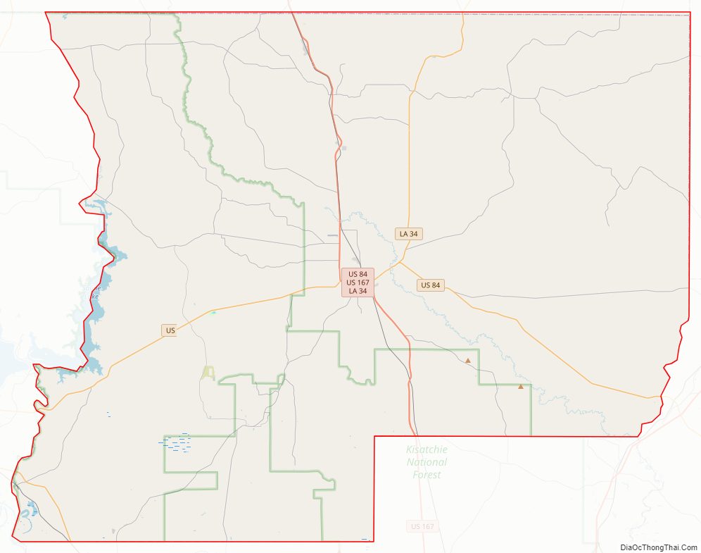
Winn Parish Road Map
Geography
According to the U.S. Census Bureau, the parish has a total area of 957 square miles (2,480 km), of which 950 square miles (2,500 km) is land and 6.7 square miles (17 km) (0.7%) is water.
Major highways
- U.S. Highway 71
- U.S. Highway 84
- U.S. Highway 167
- Louisiana Highway 34
- Louisiana Highway 126
- Louisiana Highway 127
- Louisiana Highway 156
- Louisiana Highway 471
- Louisiana Highway 499
- Louisiana Highway 500
- Louisiana Highway 501
- Louisiana Highway 505
- Louisiana Highway 1228
Adjacent parishes
- Jackson Parish (north)
- Caldwell Parish (northeast)
- La Salle Parish (southeast)
- Grant Parish (south)
- Natchitoches Parish (west)
- Bienville Parish (northwest)
National protected area
- Kisatchie National Forest (part)
- Saline Bayou
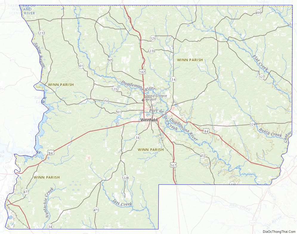
Winn Parish Topographic Map
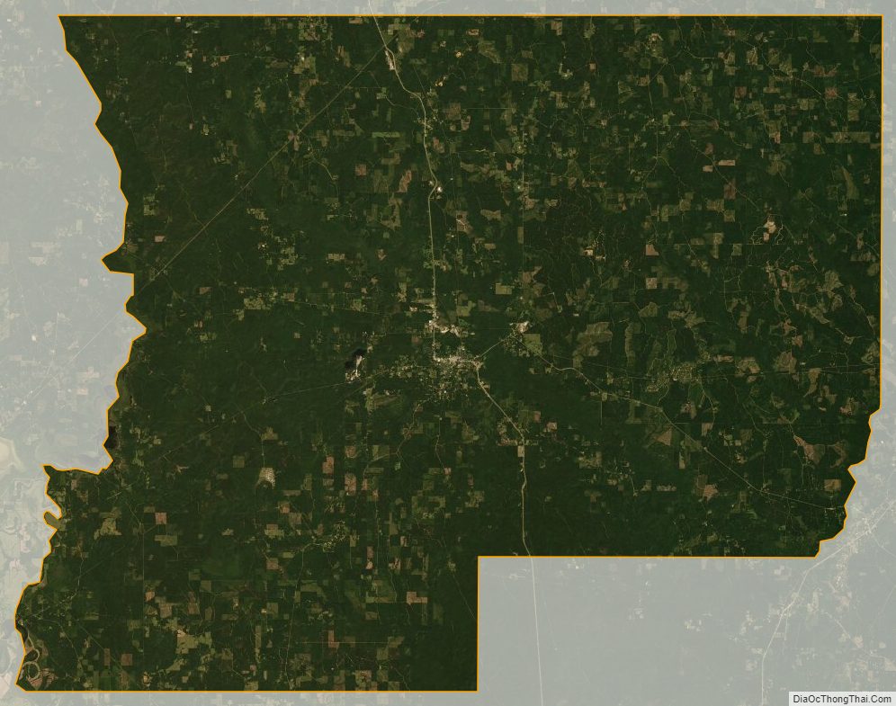
Winn Parish Satellite Map
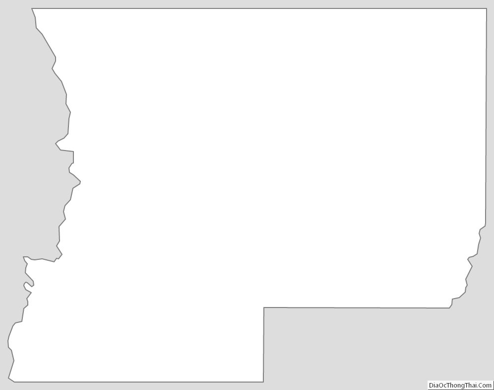
Winn Parish Outline Map