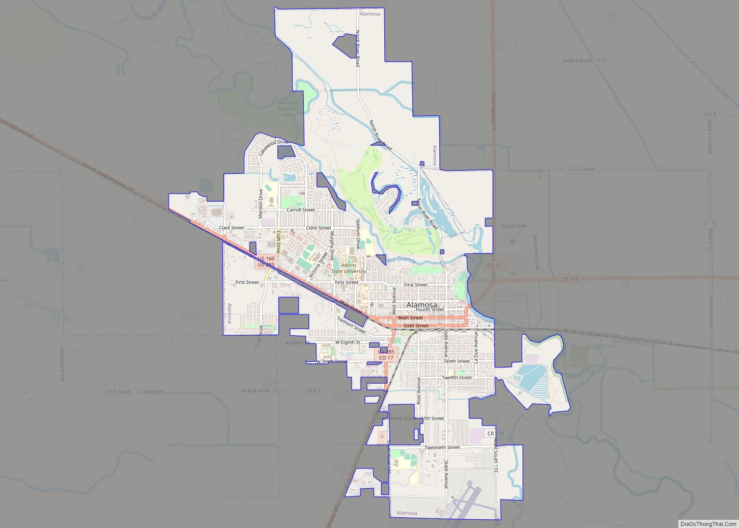
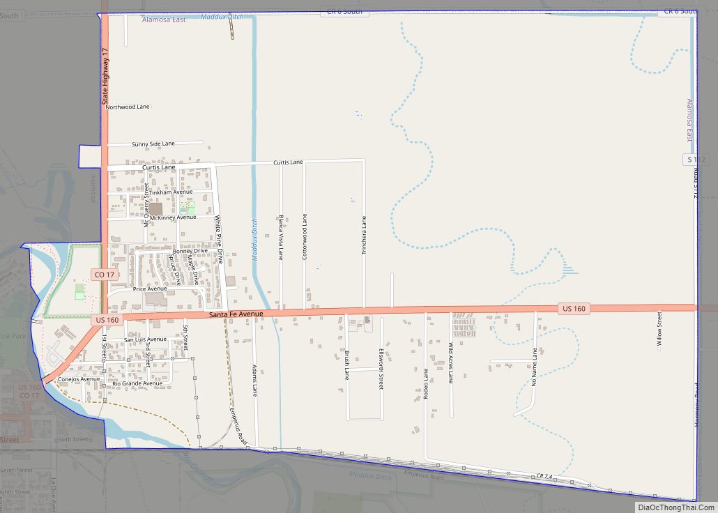
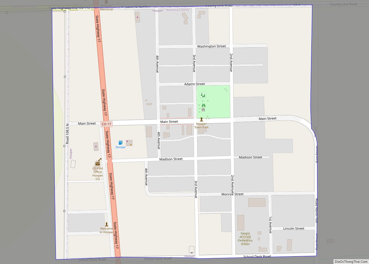
Alamosa County is a county located in the U.S. state of Colorado. As of the 2020 census, the population was 16,376. The county seat is Alamosa. The county name is the Spanish language word for a “grove of cottonwood trees.”
| Name: | Alamosa County |
|---|---|
| FIPS code: | 08-003 |
| State: | Colorado |
| Founded: | March 8, 1913 |
| Named for: | Spanish language word for a grove of cottonwood trees |
| Seat: | Alamosa |
| Largest city: | Alamosa |
| Total Area: | 723 sq mi (1,870 km²) |
| Land Area: | 723 sq mi (1,870 km²) |
| Total Population: | 16,376 |
| Population Density: | 23/sq mi (9/km²) |
| Time zone: | UTC−7 (Mountain) |
| Summer Time Zone (DST): | UTC−6 (MDT) |
| Website: | alamosacounty.colorado.gov |
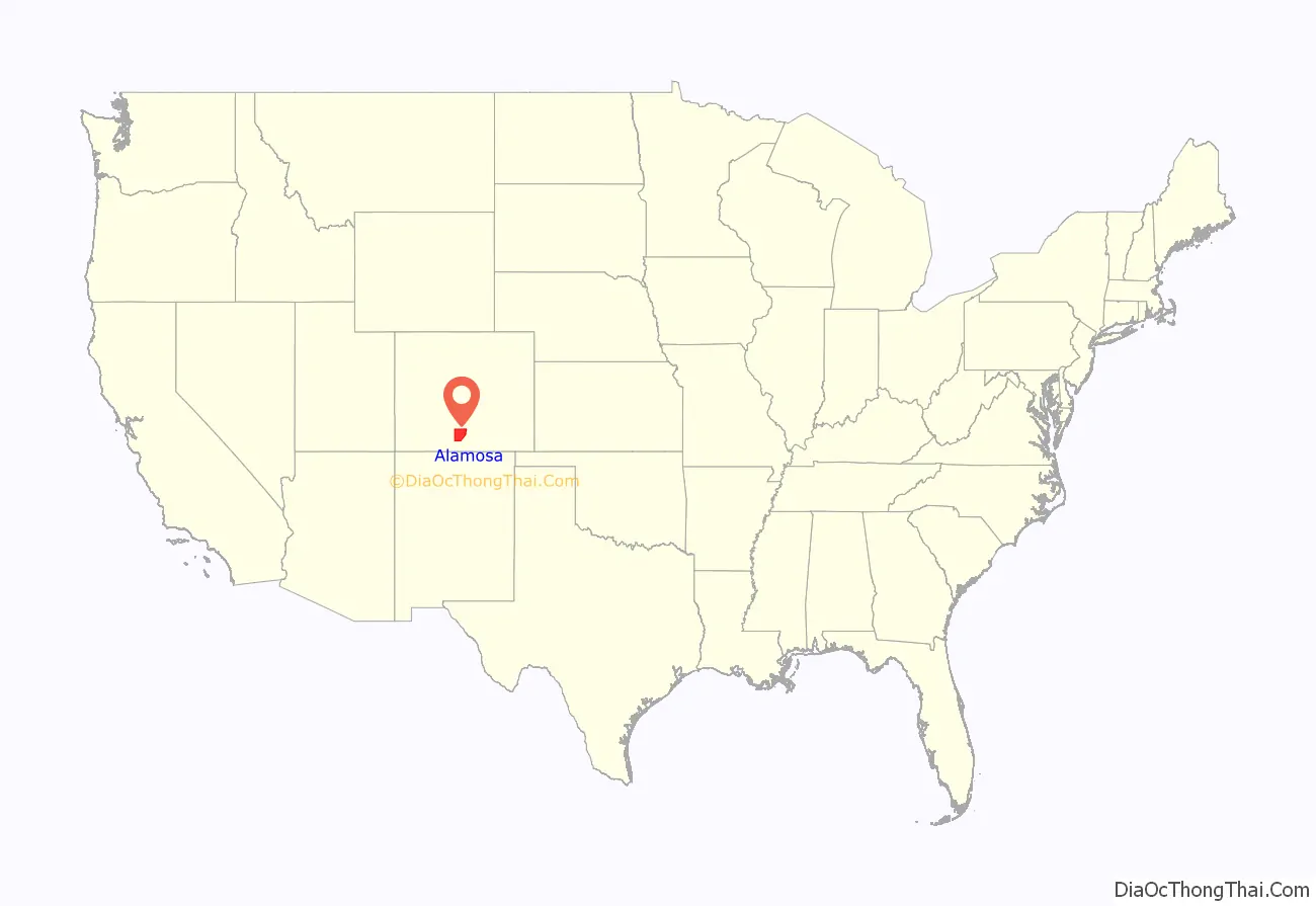
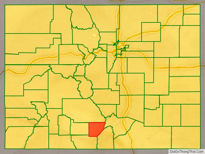
Alamosa County location map. Where is Alamosa County?
History
Alamosa County was created by the Colorado legislature on March 8, 1913, out of northwestern Costilla County.
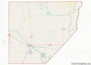
Alamosa County Road Map
Geography
According to the U.S. Census Bureau, the county has a total area of 723 square miles (1,870 km), of which 723 square miles (1,870 km) is land and 0.7 square miles (1.8 km) (0.1%) is water.
Adjacent counties
- Saguache County, Colorado – north
- Huerfano County, Colorado – east
- Costilla County, Colorado – southeast
- Conejos County, Colorado – southwest
- Rio Grande County, Colorado – west
Major Highways
- U.S. Highway 160
- U.S. Highway 285
- State Highway 17
- State Highway 150
- State Highway 368
- State Highway 370
- State Highway 371
National protected area
- Great Sand Dunes National Park and Preserve
Other protected areas
- Alamosa National Wildlife Refuge
- Great Sand Dunes Wilderness
- Monte Vista National Wildlife Refuge
- Rio Grande National Forest
- San Luis Lakes State Wildlife Area
- Sangre de Cristo Wilderness
Scenic trails
- Los Caminos Antiguos Scenic and Historic Byway
- Old Spanish National Historic Trail
