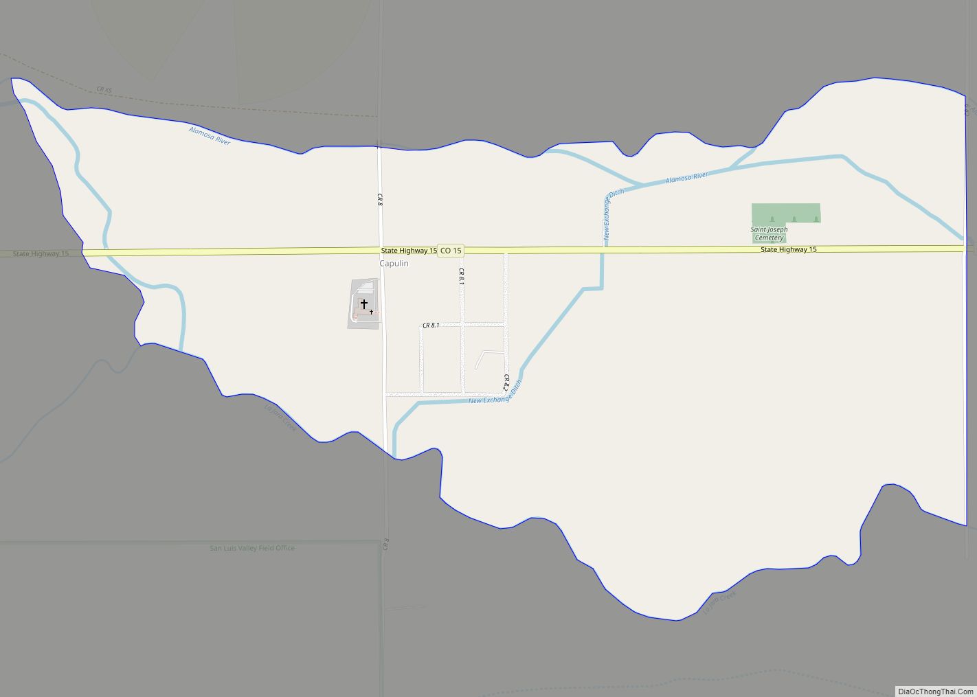
Conejos County is a county located in the U.S. state of Colorado. As of the 2020 census, the population was 7,461. The county seat is the unincorporated community of Conejos.
Being 50.7% Hispanic in 2020, Conejos was Colorado’s largest Hispanic-majority county.
| Name: | Conejos County |
|---|---|
| FIPS code: | 08-021 |
| State: | Colorado |
| Founded: | November 1, 1861 |
| Named for: | Conejos River |
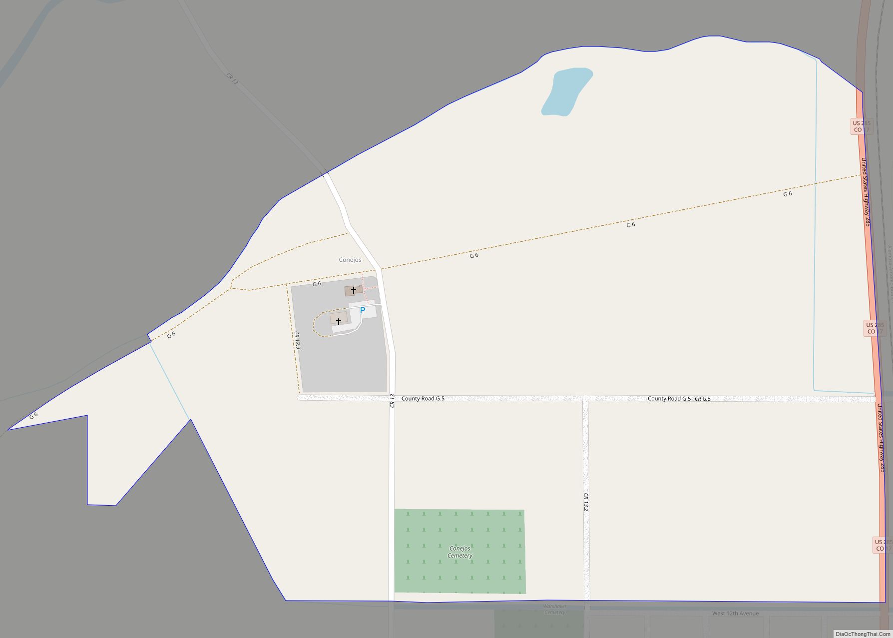
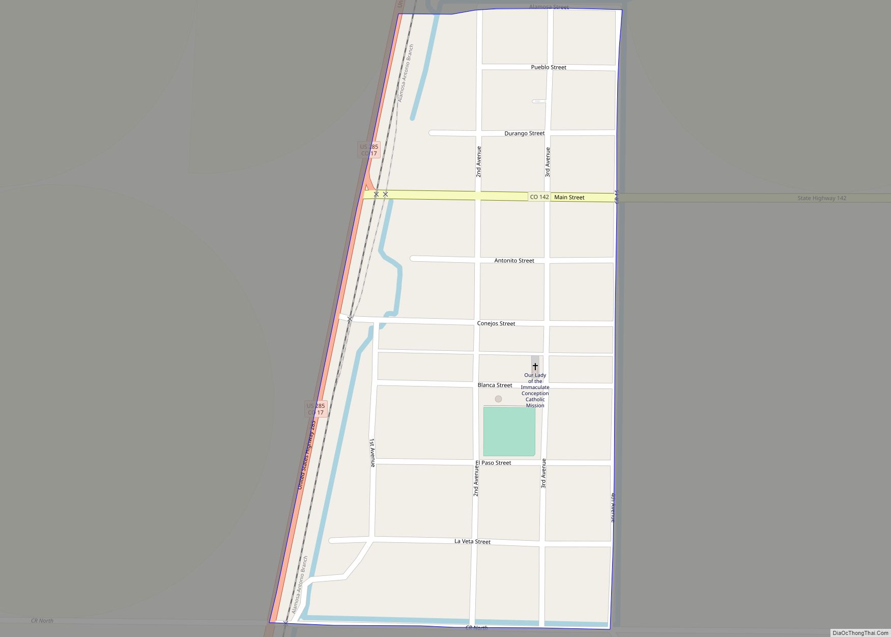
| Seat: | Conejos |
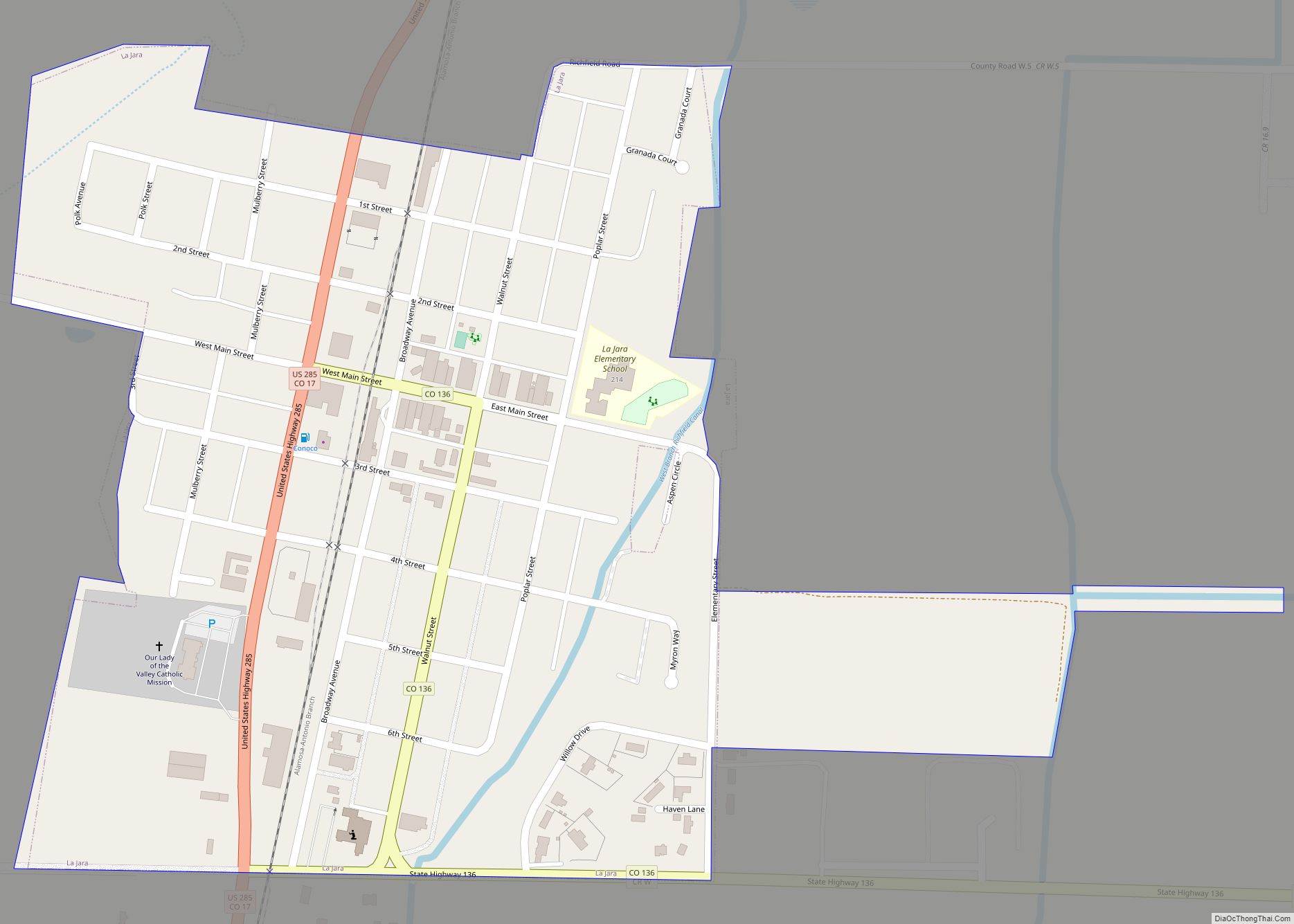
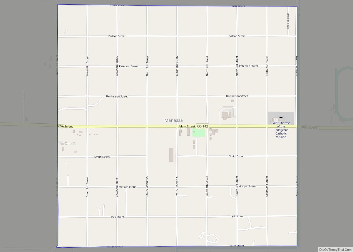
| Largest town: | Manassa |
| Total Area: | 1,291 sq mi (3,340 km²) |
| Land Area: | 1,287 sq mi (3,330 km²) |
| Total Population: | 7,612 |
| Population Density: | 5.8/sq mi (2.2/km²) |
| Time zone: | UTC−7 (Mountain) |
| Summer Time Zone (DST): | UTC−6 (MDT) |
| Website: | www.conejoscounty.org |
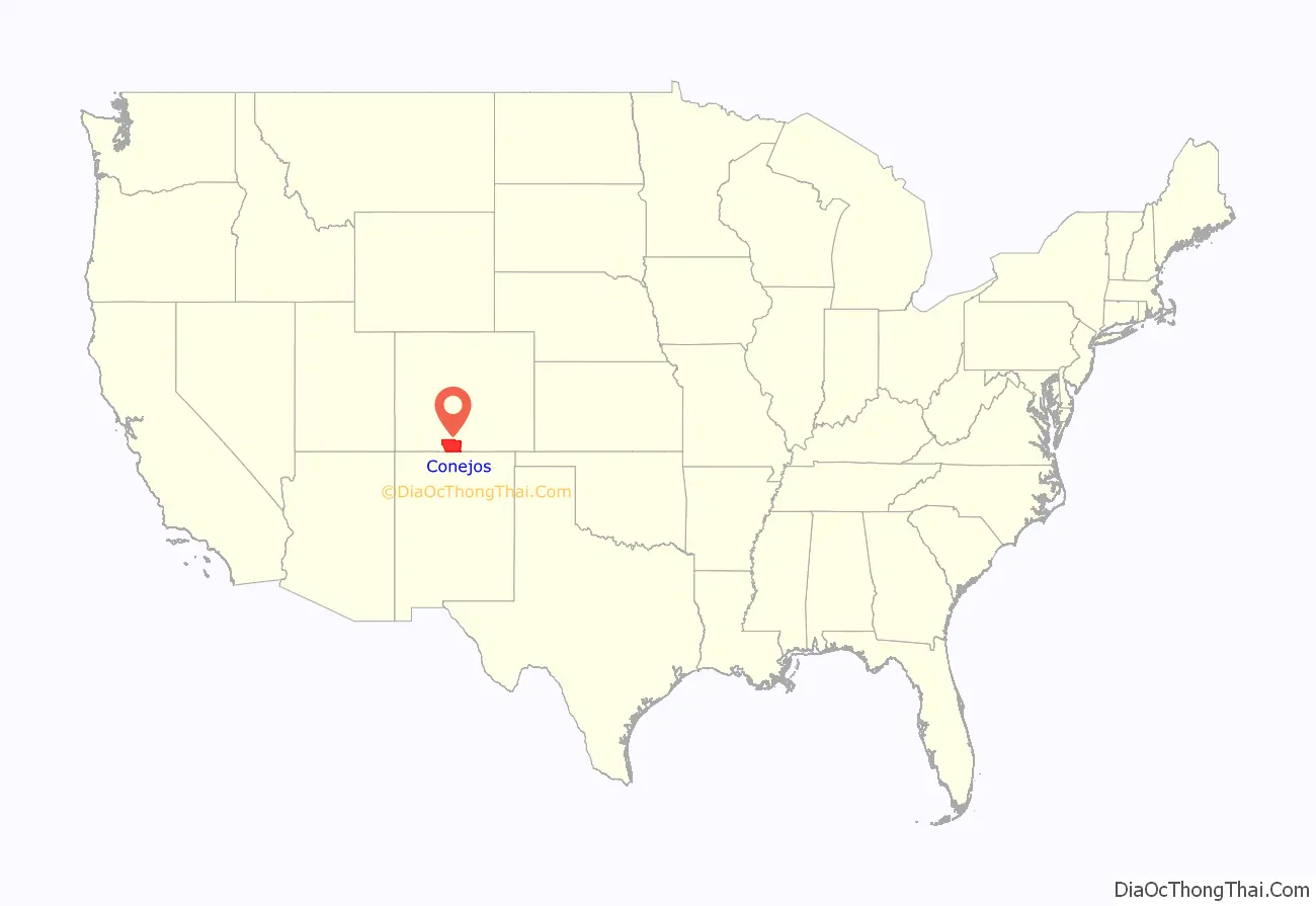
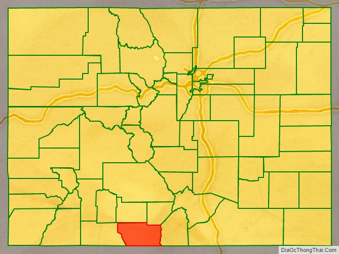
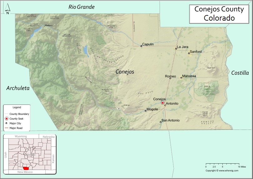
Conejos County location map. Where is Conejos County?
History
The first European known to visit this area was Juan de Oñate y Salazar in 1550 followed by Don Diego de Vargas in 1694, but he left behind no colonists. In 1708, Juan de Uribarri passed through searching for run-away Indian slaves.
Conejos County was one of the original 17 counties created by the General Assembly of the Territory of Colorado on 1851-11-01. Conejos County was originally named Guadalupe County but was renamed Conejos County a week later on November 7. Its name comes from the Spanish word “conejo“, meaning rabbit, for the abundance of rabbits in the area. Also early in its existence, the county seat was moved from the town of Guadalupe to Conejos. The original boundaries of the county included a large portion of southwestern Colorado.
In 1874, most of the western and northern portions of the county were broken away to form parts of Hinsdale, La Plata and Rio Grande counties, and Conejos County achieved its modern borders in 1885 when its western half was taken to create Archuleta County.
Religious history
The community of Conejos is the location of the oldest extant church house in Colorado, constructed in 1856 and named “Our Lady of Guadalupe Parish”. The first settlers into the area were from New Mexico, primarily from Abiquiu, San Juan de los Caballeros and Santa Cruz. As more people arrived, mission churches were set up and all had the records housed in Our Lady of Guadalupe Parish.
When the neighboring town of Antonito was built, the Theatines, priests from Spain, came into the area and built St. Augustine church in 1880 within Antonito. The church records from Our Lady of Guadalupe Parish are now housed at the church offices of Saint Augustine. Conejos is approximately a mile northwest of Antonito.
Presbyterians came into Conejos County in 1880 establishing churches in Antonito, Alamosa, Cenicero, Del Norte, Mogote, San Rafael, and Monte Vista. They also established schools in the area and had a large number of Hispanic converts. A jacal went up in 1854 in Guadalupe, now known as Conejos, which was the beginning of Our Lady of Guadalupe Parish.
There is also a large Mormon population within Conejos County. Settlers belonging to the Church of Jesus Christ of Latter-day Saints (LDS Church) began settling in the towns of La Jara, Manassa and Sanford; each town currently has an LDS meetinghouse. Fox Creek, a village approximately 11 miles west of Antonito, is the newest community to have an LDS meetinghouse erected, although there had previously been a meetinghouse there. Fox Creek, however, does not have a predominantly Mormon population.
Genealogy
Records available for this area are marriage records, which are held by the county clerk. Divorce records are maintained by the clerk of the district court. Agencies that hold records for marriages and divorces from 1900 to 1939 are the Colorado State Archives and Denver Public Library Genealogy Department. Other records available are marriage records from 1871 and death records from 1877 to 1907. This also include land records from 1871, probate records from 1875, and court records from 1877. However, some records were lost due to a fire, but birth records for 1877-1907 are still preserved. Websites that will be of use when doing genealogical research are The Colorado Genealogical Society and Conejos County WW II Enlistments.
Amendment 64
When Colorado Amendment 64 was being voted into effect by Coloradans, Conejos County residents voted against approving the measure to legalize and regulate recreational Marijuana consumption and possession for those 21 or older; Conejos residents simultaneously voted for a Democratic president in the 2008 and 2012 presidential elections, making Conejos county the only Colorado county with the distinction of leaning liberal with the 2008 and 2012 presidential picks while leaning conservative with regard to marijuana policy.
Conejos County Road Map
Geography
According to the U.S. Census Bureau, the county has a total area of 1,291 square miles (3,340 km), of which 1,287 square miles (3,330 km) is land and 3.6 square miles (9.3 km) (0.3%) is water.
Conejos County is in a broad high mountain valley in South Central Colorado. It has an area of approximately 825,446 acres (3,340 km) in 1,290 square miles (3,340 km). Roughly half the area is on the nearly level floor of the valley, where the average elevation is about 7,700 feet (2,350 m). The western half of the county ranges from gently rolling to steep foothills with mountains that rise in elevation to about 13,000 feet (4,000 m).
Conejos County is situated with the National Forest to the west and the Rio Grande to the east, along Colorado’s southern border with the state of New Mexico. Only about 34 percent of Conejos County is privately owned with the other 66 percent being National Forest, Bureau of Land Management (BLM) or State owned lands.
Climate
In winter, the average temperature is 21.6 degrees Fahrenheit, and the average daily minimum temperature is 4 degrees. In summer, the average temperature is 61.4 degrees, and the average maximum temperature is 79.6 degrees.
Seventy-one percent of the annual precipitation falls in the months of April through September. Average seasonal snowfall is 28 inches. The average relative humidity in mid-afternoon in spring is less than 35 percent; during the rest of the year, it is about 45 percent. The percentage of possible sunshine is 77 in the summer and 73 in the winter.
Adjacent counties
- Rio Grande County – north
- Alamosa County – northeast
- Costilla County – east
- Taos County, New Mexico – southeast
- Rio Arriba County, New Mexico – south
- Archuleta County– west
Major Highways
- U.S. Highway 285
- State Highway 15
- State Highway 17
- State Highway 136
- State Highway 142
- State Highway 368
- State Highway 371
National protected areas
- Rio Grande National Forest
- San Juan National Forest
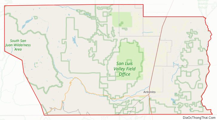
- South San Juan Wilderness
- Rio Grande Natural Area
Historic trails and sites
- Old Spanish National Historic Trail
- Pike’s Stockade, which is a National Historic Landmark
Scenic trails and byways
- Continental Divide National Scenic Trail
- Los Caminos Antiguos Scenic & Historic Byway
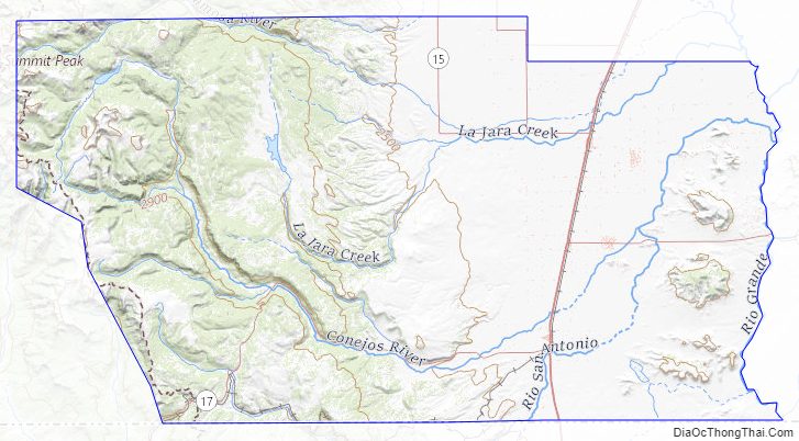
Conejos County Topographic Map
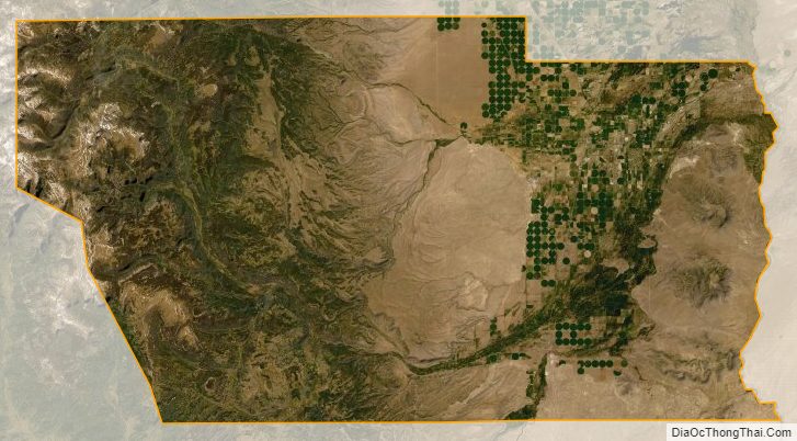
Conejos County Satellite Map
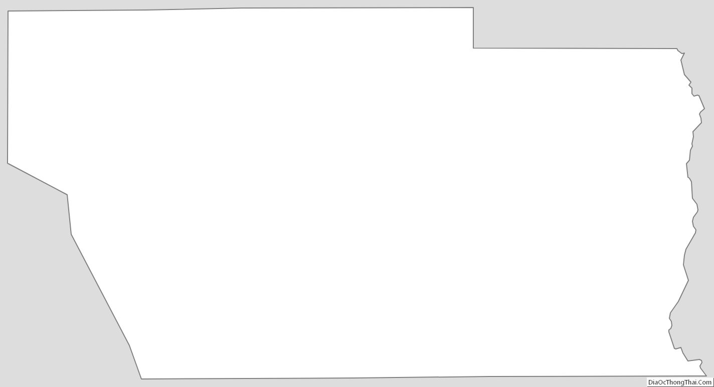
Conejos County Outline Map