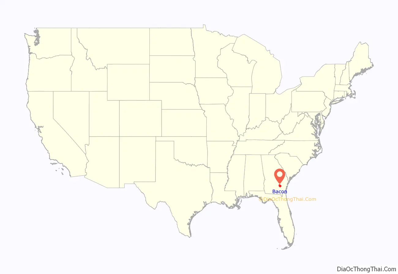
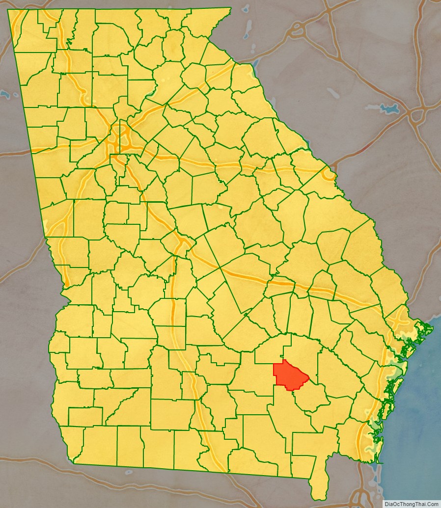
Bacon County is a county located in the southeastern part of the U.S. state of Georgia. As of the 2020 census, the population was 11,140. The county seat is Alma.
| Name: | Bacon County |
|---|---|
| FIPS code: | 13-005 |
| State: | Georgia |
| Founded: | 1914 |
| Named for: | Augustus Octavius Bacon |
| Seat: | Alma |
| Largest city: | Alma |
| Total Area: | 286 sq mi (740 km²) |
| Land Area: | 259 sq mi (670 km²) |
| Total Population: | 11,140 |
| Population Density: | 43/sq mi (17/km²) |
| Time zone: | UTC−5 (Eastern) |
| Summer Time Zone (DST): | UTC−4 (EDT) |
Bacon County location map. Where is Bacon County?
History
The constitutional amendment to create the county was proposed July 7, 1914, and ratified November 3, 1914. It is named after Augustus Bacon, a former United States Senator and segregationist from Georgia.
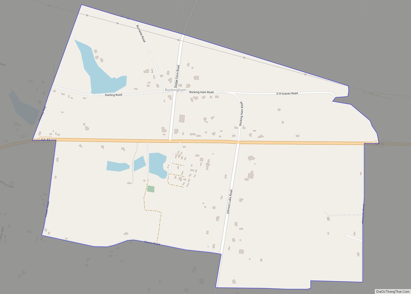
Bacon County Road Map
Geography
According to the U.S. Census Bureau, the county has a total area of 286 square miles (740 km), of which 259 square miles (670 km) are land and 27 square miles (70 km) (9.5%) are covered by water.
The majority and western portion of Bacon County is located in the Satilla River sub-basin of the St. Marys River-Satilla River basin. The entire eastern and half of the southeastern edge of the county is located in the Little Satilla River sub-basin of the same St. Marys-Satilla River basin.
Major highways
- U.S. Route 1
- U.S. Route 23
- Georgia State Route 4
- State Route 4 Alternate
- State Route 19
- State Route 32
- State Route 203
Adjacent counties
- Appling County (northeast)
- Pierce County (east)
- Ware County (south)
- Coffee County (west)
- Jeff Davis County (northwest)


