Macclenny is a city and the county seat of Baker County, Florida. Located just west of Jacksonville, it is one of the principal municipalities comprising Greater Jacksonville. The population was 7,304 at the 2020 census, up from 6,374 in 2010.
| Name: | Macclenny city |
|---|---|
| LSAD Code: | 25 |
| LSAD Description: | city (suffix) |
| State: | Florida |
| County: | Baker County |
| Elevation: | 131 ft (40 m) |
| Total Area: | 4.87 sq mi (12.60 km²) |
| Land Area: | 4.87 sq mi (12.60 km²) |
| Water Area: | 0.00 sq mi (0.00 km²) |
| Total Population: | 7,304 |
| Population Density: | 1,501.03/sq mi (579.57/km²) |
| ZIP code: | 32063 |
| Area code: | 904 |
| FIPS code: | 1241950 |
| GNISfeature ID: | 0286243 |
| Website: | www.cityofmacclenny.com |
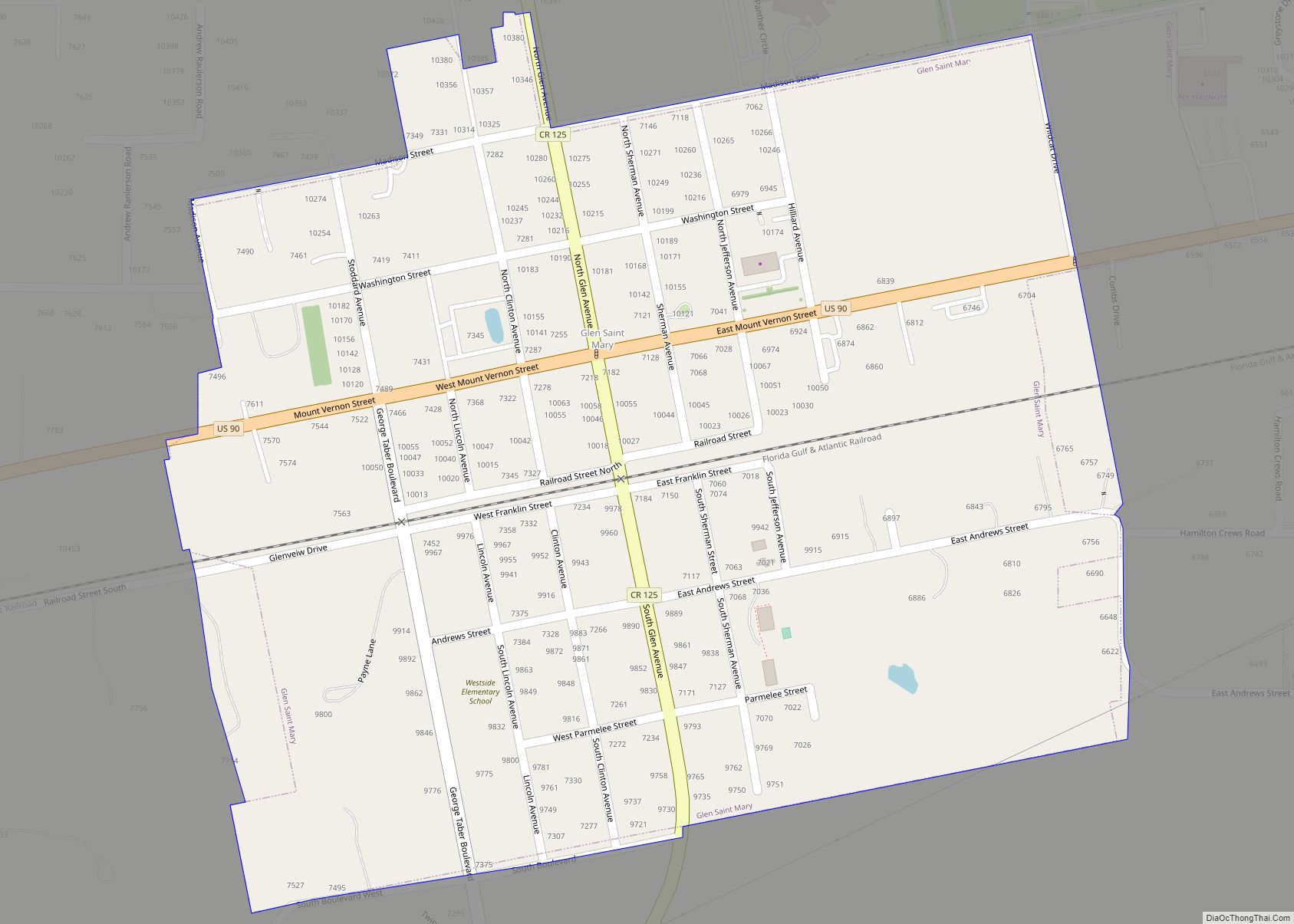
Online Interactive Map
Click on ![]() to view map in "full screen" mode.
to view map in "full screen" mode.
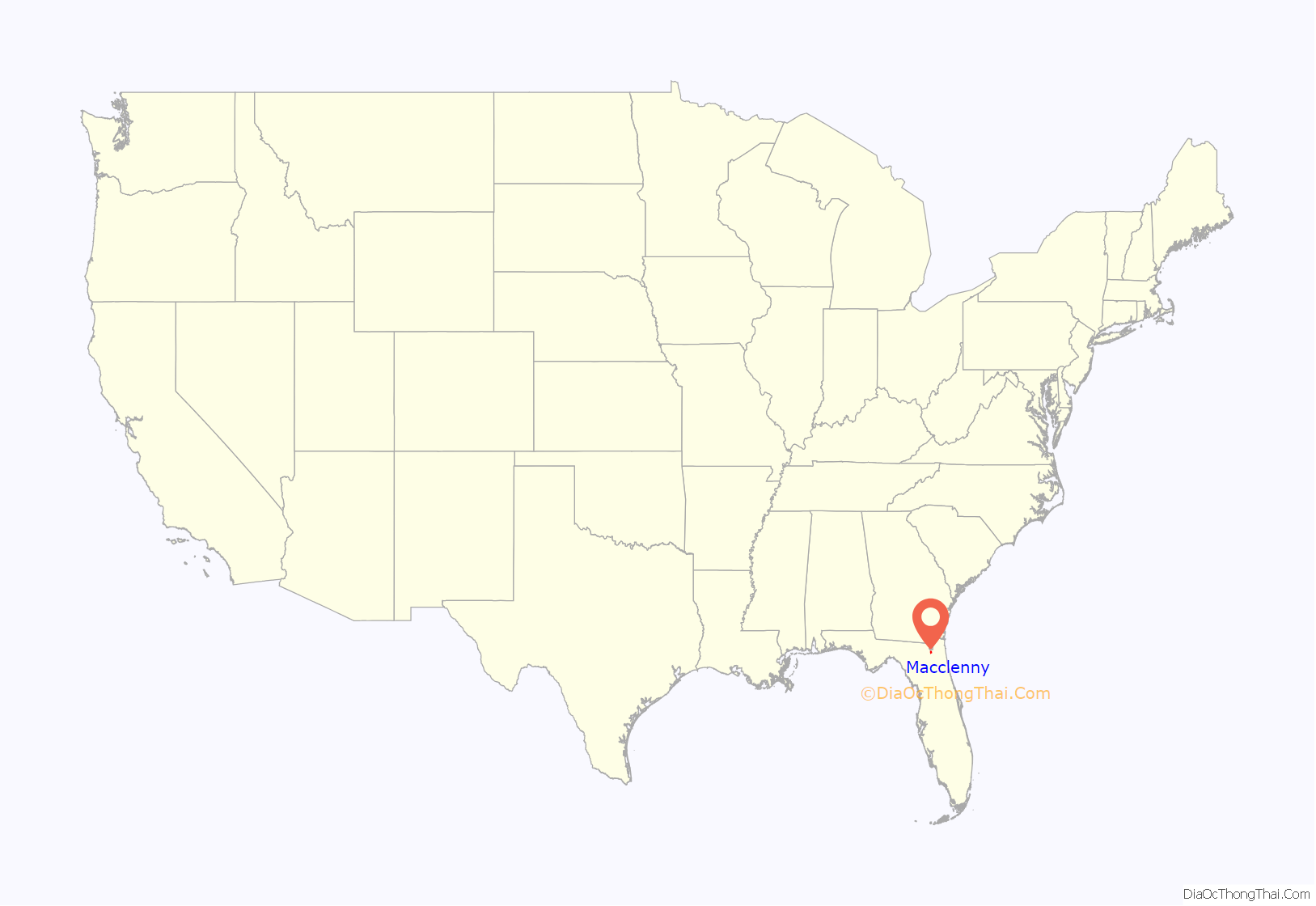
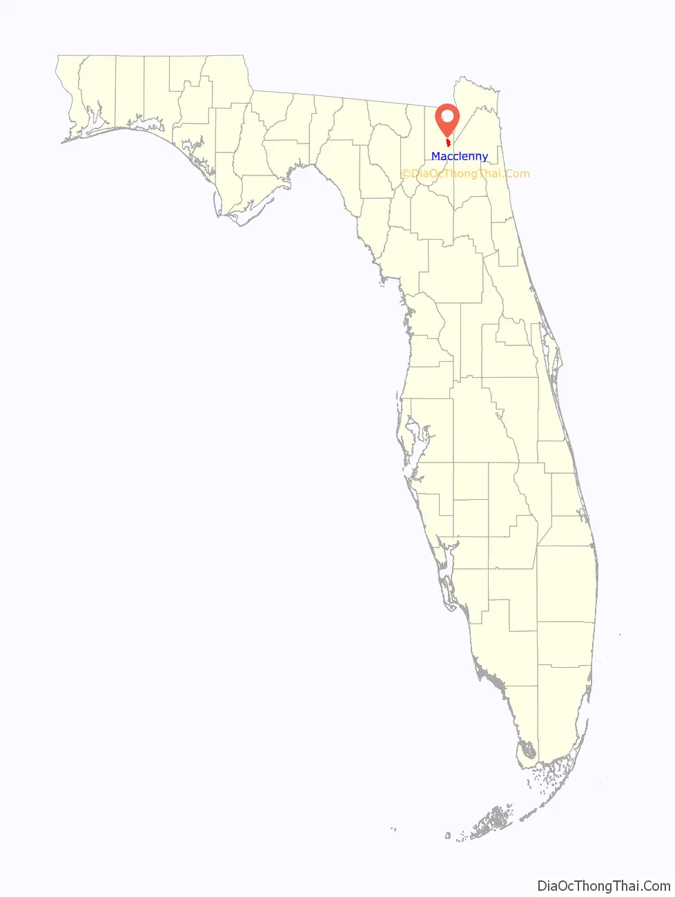
Macclenny location map. Where is Macclenny city?
History
Macclenny was first called Darbyville because most of the land of this area was owned by the Darby family. Carr Bowers McClenny married into the Darby family, and then bought most of this land in the late 19th century, intending to harvest it for timber.
Darbyville became known as McClenny. McClenny developed many businesses there related to lumber: harvesting the wood, sawmills to process it, turpentine, and land. The town name McClenny was changed to the current name of The City of Macclenny because the post office department had a rule against using capital letters in the middle of a name. The first post office in Macclenny was established in 1890.
There were settlers in Macclenny as early as 1829, but it was not until after the Civil War that more people began to settle there. In 1888 most of the town residents were killed in a yellow fever epidemic. The population was 334 in 1890 (see census table below). The town gradually recovered.
By 2000, residents increased to 4,500. The 2016 population was estimated at 6,562. (See census table below).
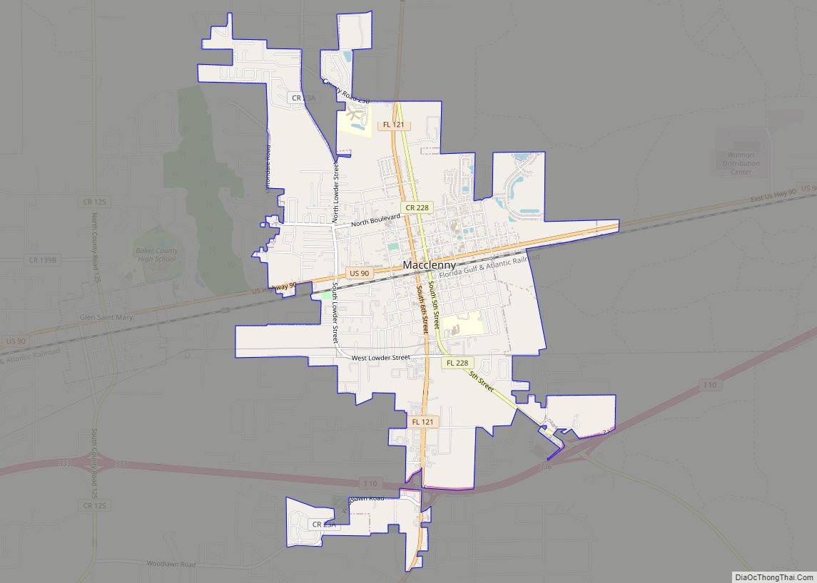
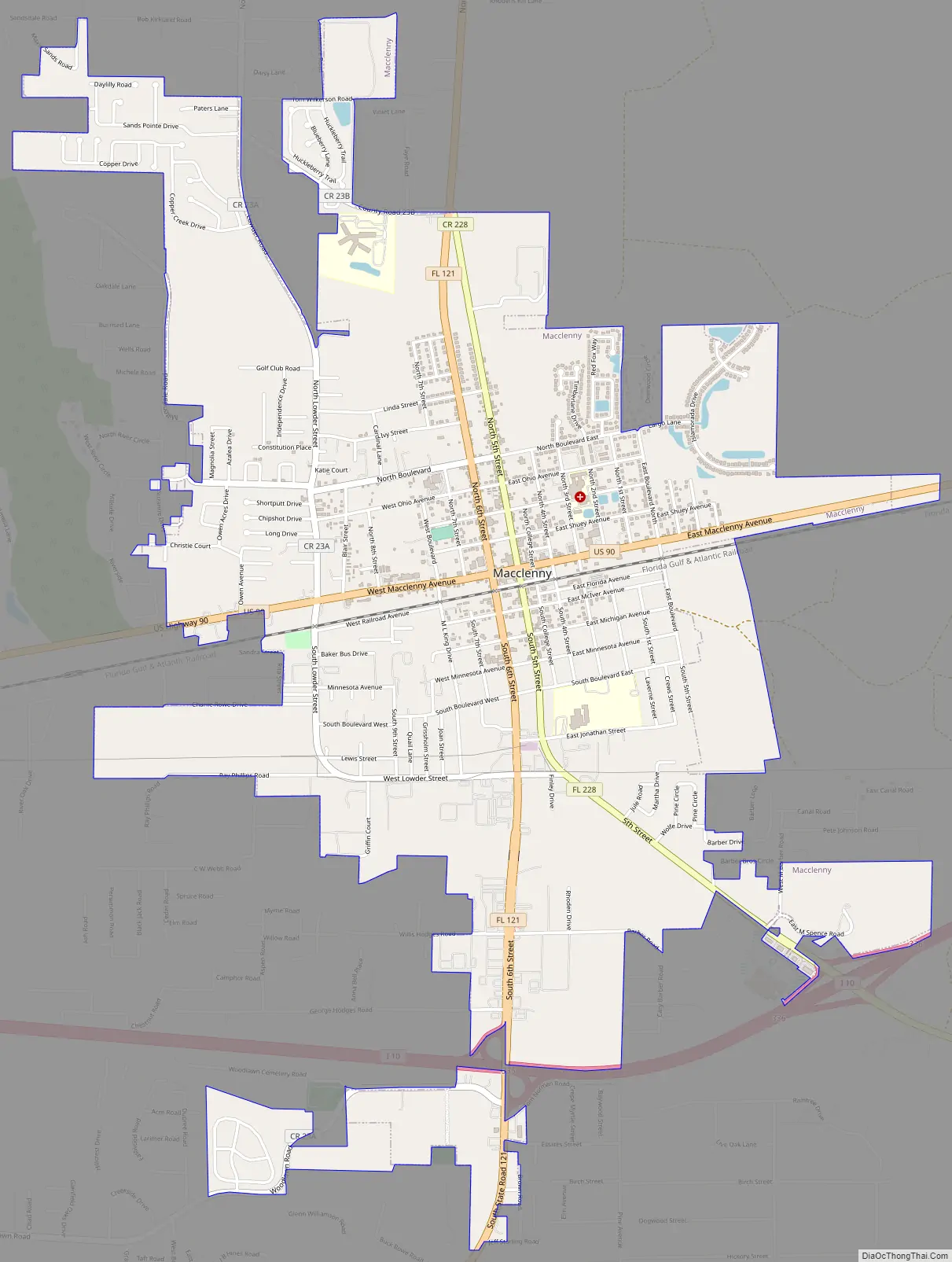
Macclenny Road Map
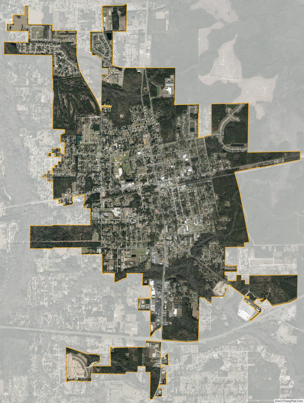
Macclenny city Satellite Map
Geography
Macclenny is located in eastern Baker County at 30°17′N 82°7′W / 30.283°N 82.117°W / 30.283; -82.117, 28 miles (45 km) west of downtown Jacksonville. U.S. Route 90 (Macclenny Avenue) runs through the center of town, and Interstate 10 passes through the southern tip of the town, with access from Exit 335 (State Road 121). Lake City is 32 miles (51 km) to the west, and the Florida–Georgia border is 6 miles (10 km) to the north.
According to the United States Census Bureau, the city has a total area of 4.7 square miles (12.3 km), all land.
See also
Map of Florida State and its subdivision:- Alachua
- Baker
- Bay
- Bradford
- Brevard
- Broward
- Calhoun
- Charlotte
- Citrus
- Clay
- Collier
- Columbia
- Desoto
- Dixie
- Duval
- Escambia
- Flagler
- Franklin
- Gadsden
- Gilchrist
- Glades
- Gulf
- Hamilton
- Hardee
- Hendry
- Hernando
- Highlands
- Hillsborough
- Holmes
- Indian River
- Jackson
- Jefferson
- Lafayette
- Lake
- Lee
- Leon
- Levy
- Liberty
- Madison
- Manatee
- Marion
- Martin
- Miami-Dade
- Monroe
- Nassau
- Okaloosa
- Okeechobee
- Orange
- Osceola
- Palm Beach
- Pasco
- Pinellas
- Polk
- Putnam
- Saint Johns
- Saint Lucie
- Santa Rosa
- Sarasota
- Seminole
- Sumter
- Suwannee
- Taylor
- Union
- Volusia
- Wakulla
- Walton
- Washington
- Alabama
- Alaska
- Arizona
- Arkansas
- California
- Colorado
- Connecticut
- Delaware
- District of Columbia
- Florida
- Georgia
- Hawaii
- Idaho
- Illinois
- Indiana
- Iowa
- Kansas
- Kentucky
- Louisiana
- Maine
- Maryland
- Massachusetts
- Michigan
- Minnesota
- Mississippi
- Missouri
- Montana
- Nebraska
- Nevada
- New Hampshire
- New Jersey
- New Mexico
- New York
- North Carolina
- North Dakota
- Ohio
- Oklahoma
- Oregon
- Pennsylvania
- Rhode Island
- South Carolina
- South Dakota
- Tennessee
- Texas
- Utah
- Vermont
- Virginia
- Washington
- West Virginia
- Wisconsin
- Wyoming