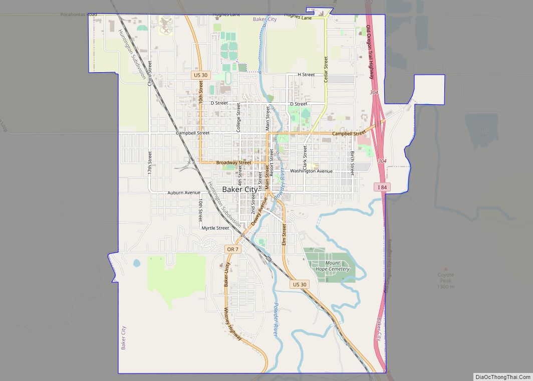
Baker City is a city in and the county seat of Baker County, Oregon, United States. It was named after Edward Dickinson Baker, the only U.S. Senator ever killed in military combat. The population was 10,099 at the time of the 2020 census.
| Name: | Baker City city |
|---|---|
| LSAD Code: | 25 |
| LSAD Description: | city (suffix) |
| State: | Oregon |
| County: | Baker County |
| Incorporated: | 1874 |
| Elevation: | 3,451 ft (1,052 m) |
| Total Area: | 7.16 sq mi (18.55 km²) |
| Land Area: | 7.16 sq mi (18.55 km²) |
| Water Area: | 0.00 sq mi (0.00 km²) |
| Total Population: | 10,099 |
| Population Density: | 1,410.08/sq mi (544.40/km²) |
| ZIP code: | 97814 |
| Area code: | 541 |
| FIPS code: | 4103650 |
| GNISfeature ID: | 1167694 |
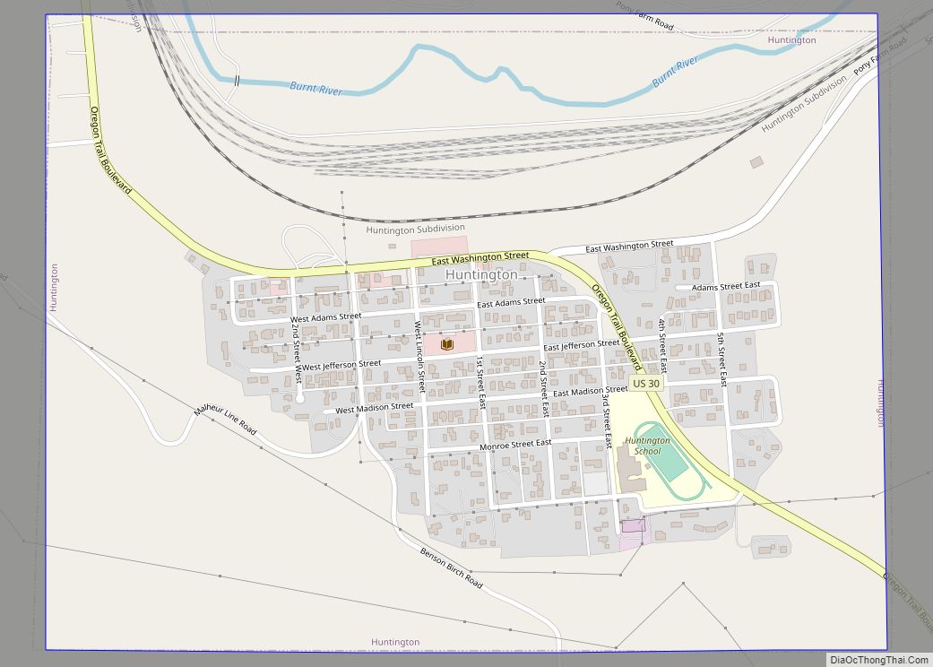
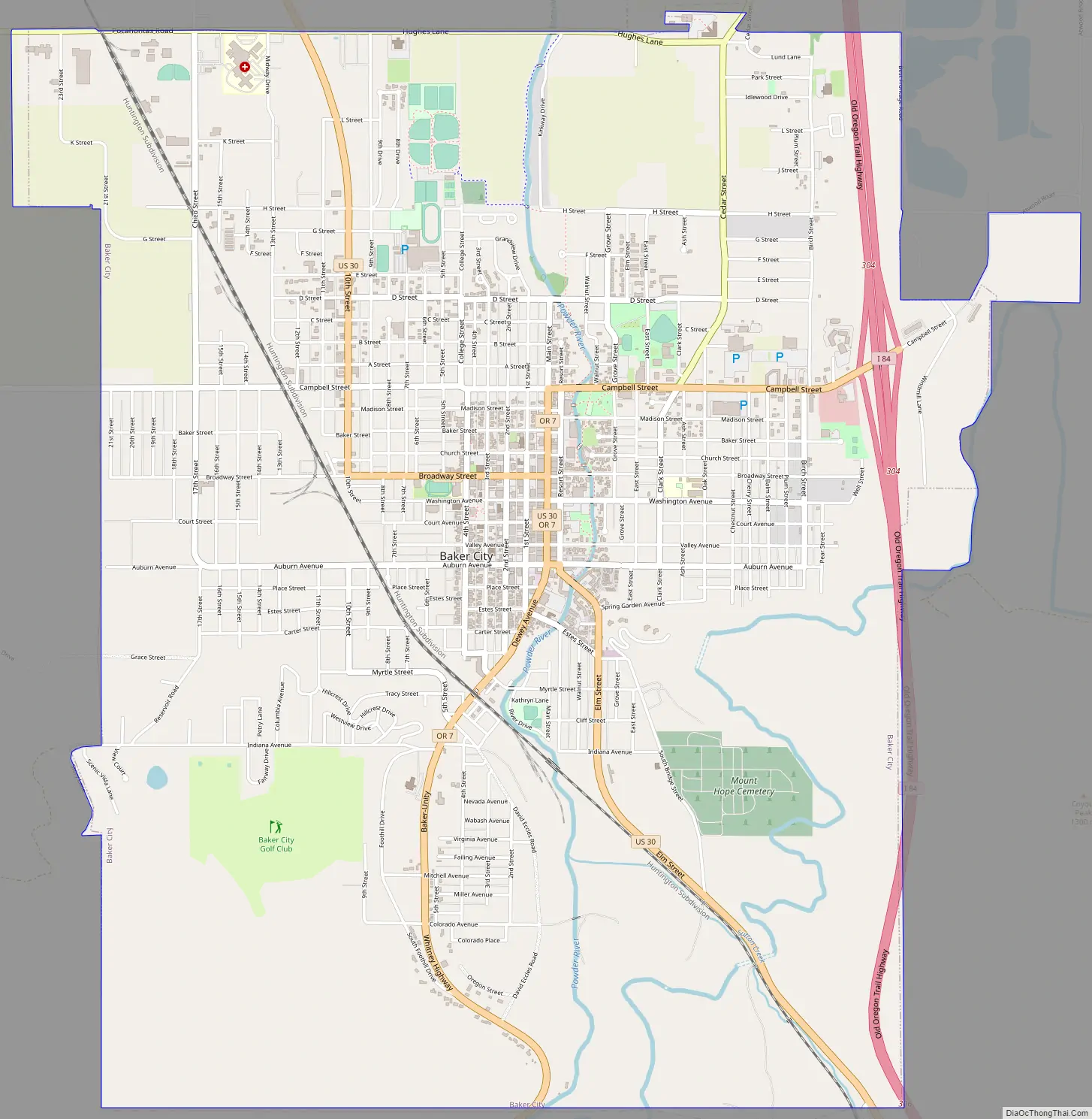
Online Interactive Map
Click on ![]() to view map in "full screen" mode.
to view map in "full screen" mode.
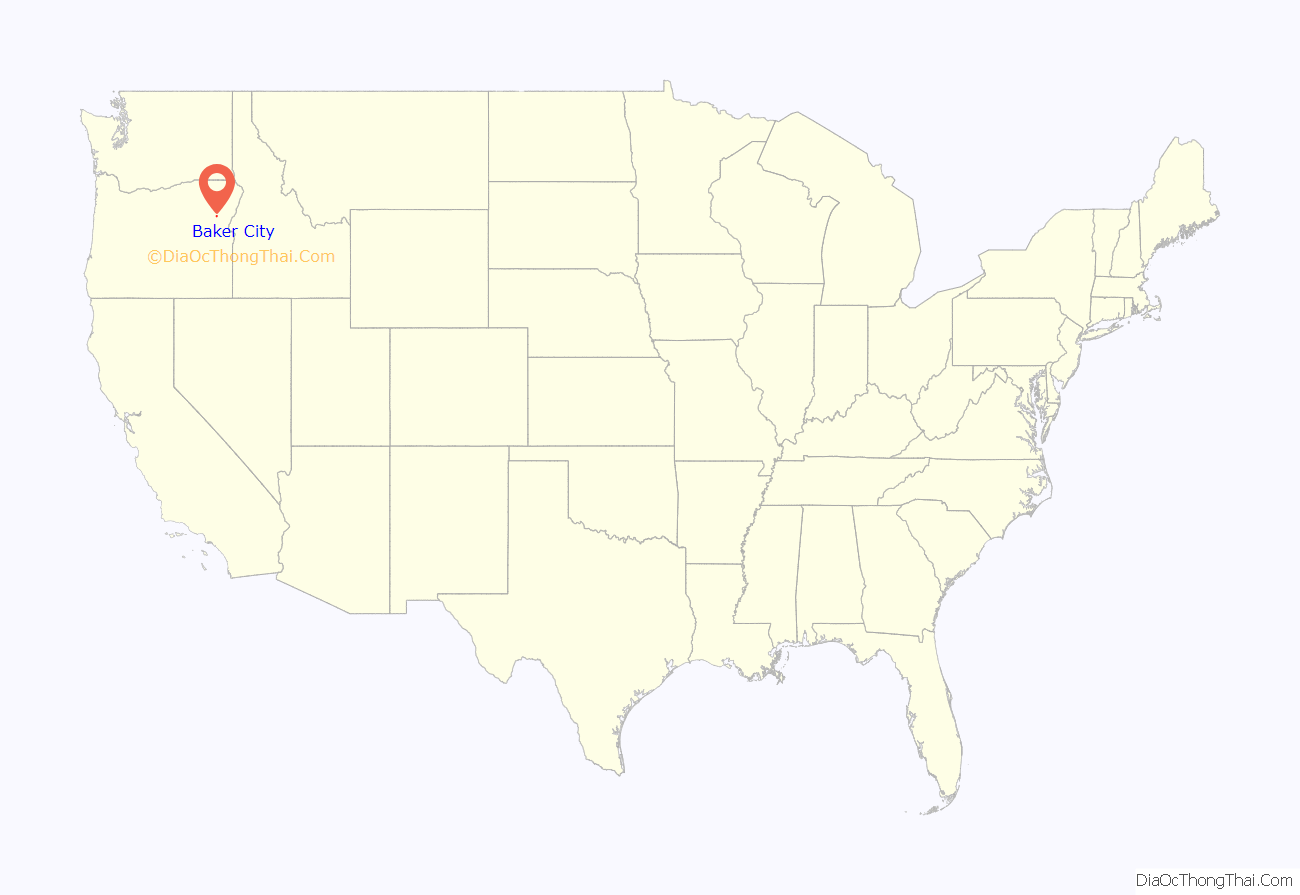
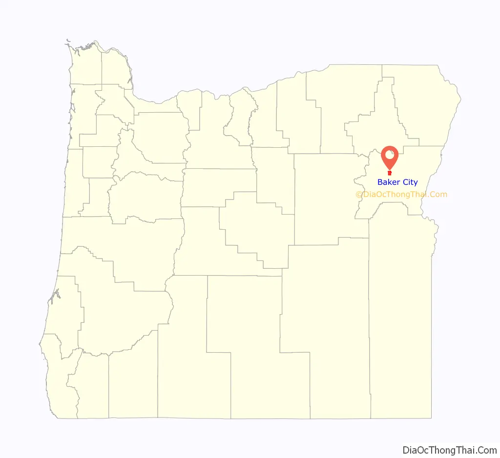
Baker City location map. Where is Baker City city?
History
Platted in 1865, Baker City grew slowly in the beginning. A post office was established on March 27, 1866, but Baker City was not incorporated until 1874. Even so, it supplanted Auburn as the county seat in 1868. The city and county were named in honor of U.S. Senator Edward D. Baker, the only sitting senator to be killed in a military engagement. He died in 1861 while leading a charge of 1,700 Union Army soldiers up a ridge at Ball’s Bluff, Virginia, during the American Civil War.
The Oregon Short Line Railroad came to Baker City in 1884, prompting growth; by 1900 it was the largest city between Salt Lake City and Portland and a trading center for a broad region. In 1910, Baker City residents voted to shorten the name of the city to simply Baker, the name change becoming official in 1911; Another vote in 1989 restored the name to Baker City.
The Roman Catholic Diocese of Baker was established on June 19, 1903, after which the Saint Francis de Sales Cathedral was built in Baker City. In 1918, Baker was the subject of national interest when the 1918 solar eclipse took place and the U.S. Naval Observatory based its observations there. The path of totality of the solar eclipse of August 21, 2017 included Baker City as well.
One of its former councilors, Adam Nilsson, who also served for the Baker City Public Arts Commission, was charged with criminal mischief for graffiti on August 1, 2017, while holding office. A police officer made connections through the tag “Provolotus” which has been found in graffiti complaints as well as on Nilsson’s Instagram profile. The graffiti was on a Baker County owned property when Nilsson and his friend Ashley E. Schroder were cited. Nilsson, who has pled guilty to spray painting graffiti at the Lime plant contends his constitutional rights were violated and has filed a $1.3 million lawsuit against Baker County and the county sheriff in August 2019. In this lawsuit, Nilsson wrote that he was negotiating with the artist, whose moniker is “Thrashbird” to obtain art as “public art” for Baker City.
Baker City Road Map
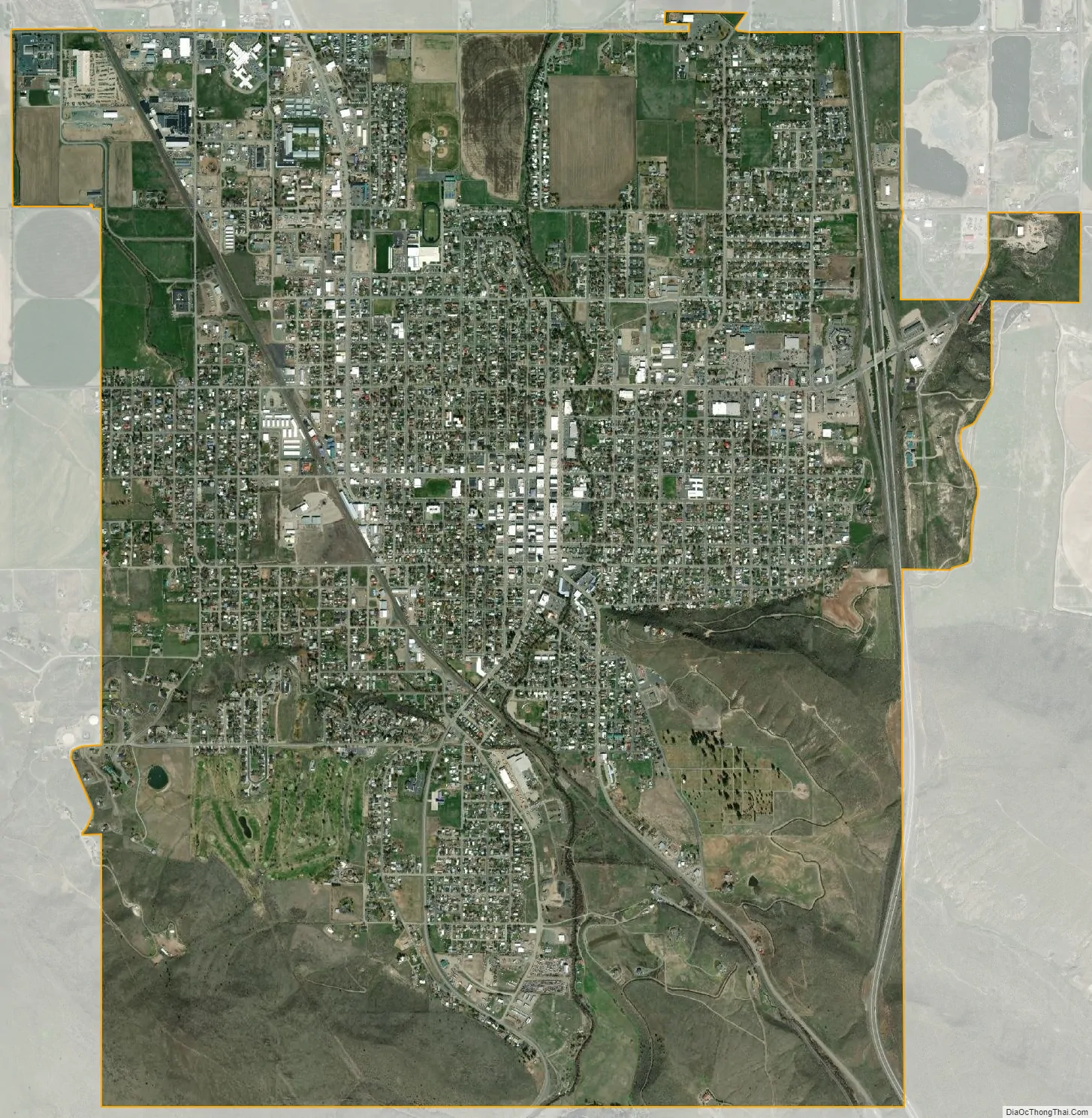
Baker City city Satellite Map
Geography
According to the United States Census Bureau, the city has a total land area of 7.16 square miles (18.54 km).
The city is situated in a valley between the Wallowa Mountains to the east and the Elkhorn Mountains, part of the Blue Mountains to the west, with the Powder River running through the center of downtown on its way to the Snake River.
Climate
Baker City has a cool semi-arid climate (Köppen BSk), with a large diurnal temperature variation most of the year, peaking at 39.3 °F (21.8 °C) in August. July is generally the warmest month, with a normal mean temperature of 65.1 °F (18.4 °C). The highest recorded temperature, 109 °F (43 °C), occurred on August 10, 2018. December is the coldest month, with a normal mean temperature of 24.8 °F (−4.0 °C). On December 23, 1983, the temperature fell to −34 °F (−37 °C), the lowest recorded in the city. May is typically the month of highest precipitation, averaging 1.48 inches (38 mm). Snowfall averages about 25 inches (64 cm) a year.
See also
Map of Oregon State and its subdivision: Map of other states:- Alabama
- Alaska
- Arizona
- Arkansas
- California
- Colorado
- Connecticut
- Delaware
- District of Columbia
- Florida
- Georgia
- Hawaii
- Idaho
- Illinois
- Indiana
- Iowa
- Kansas
- Kentucky
- Louisiana
- Maine
- Maryland
- Massachusetts
- Michigan
- Minnesota
- Mississippi
- Missouri
- Montana
- Nebraska
- Nevada
- New Hampshire
- New Jersey
- New Mexico
- New York
- North Carolina
- North Dakota
- Ohio
- Oklahoma
- Oregon
- Pennsylvania
- Rhode Island
- South Carolina
- South Dakota
- Tennessee
- Texas
- Utah
- Vermont
- Virginia
- Washington
- West Virginia
- Wisconsin
- Wyoming