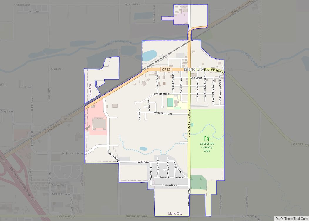
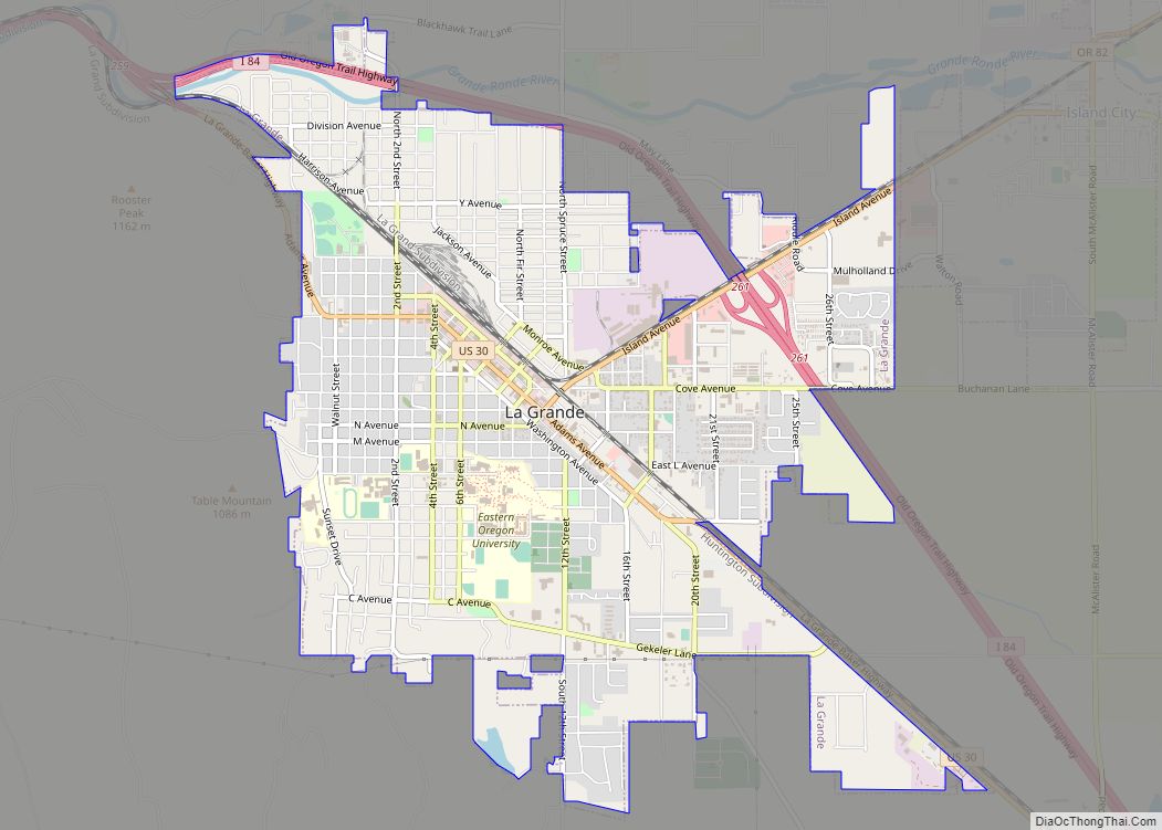
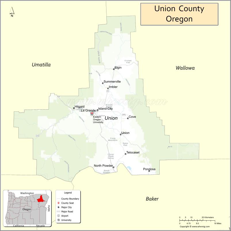
Union County is one of the 36 counties in the U.S. state of Oregon. As of the 2020 census, the population was 26,196. Its county seat is La Grande.
Union County comprises the La Grande, OR Micropolitan Statistical Area. It is one of the eight counties of eastern Oregon.
| Name: | Union County |
|---|---|
| FIPS code: | 41-061 |
| State: | Oregon |
| Founded: | October 14, 1864 |
| Named for: | Union, Oregon |
| Seat: | La Grande |
| Largest city: | La Grande |
| Total Area: | 2,039 sq mi (5,280 km²) |
| Land Area: | 2,037 sq mi (5,280 km²) |
| Total Population: | 26,196 |
| Population Density: | 13/sq mi (5/km²) |
| Time zone: | UTC−8 (Pacific) |
| Summer Time Zone (DST): | UTC−7 (PDT) |
| Website: | www.union-county.org |
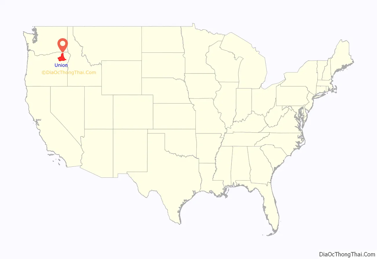
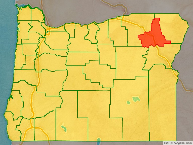
Union County location map. Where is Union County?
History
According to Oregon Geographic Names, the county is named for the town of Union. Union County was originally part of Baker County (which was originally a part of Wasco County, which was originally part of Clackamas County). The northern end of the Grande Ronde Valley was the first part to be settled. During the 1860s, population growth in eastern Oregon prompted the State Legislature to split Umatilla and Baker Counties from Wasco County in 1862. Further settlement in the Grande Ronde Valley led to the division of Baker County to create Union County on October 14, 1864. The county doubled in population between 1880 and 1890.
The choice of a county seat resulted in competition, based on geography and on economic and population growth, between La Grande and the city of Union. The county seat alternated between Union and La Grande until it permanently came to rest at La Grande in 1905. Between 1875 and 1913, adjustments were made between Union County’s borders and the borders of Baker, Umatilla, and Wallowa counties.
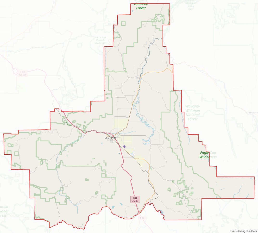
Union County Road Map
Geography
According to the United States Census Bureau, the county has a total area of 2,039 square miles (5,280 km), of which 2,037 square miles (5,280 km) is land and 1.9 square miles (4.9 km) (0.1%) is water. The Forest Service owns 47% of the land in the county.
Adjacent counties
- Umatilla County (northwest)
- Wallowa County (northeast)
- Baker County (southeast)
- Grant County (southwest)
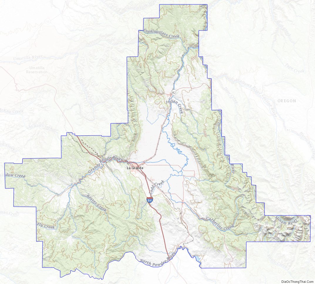
Union County Topographic Map
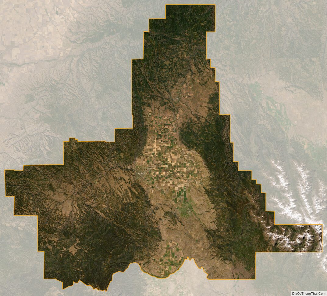
Union County Satellite Map
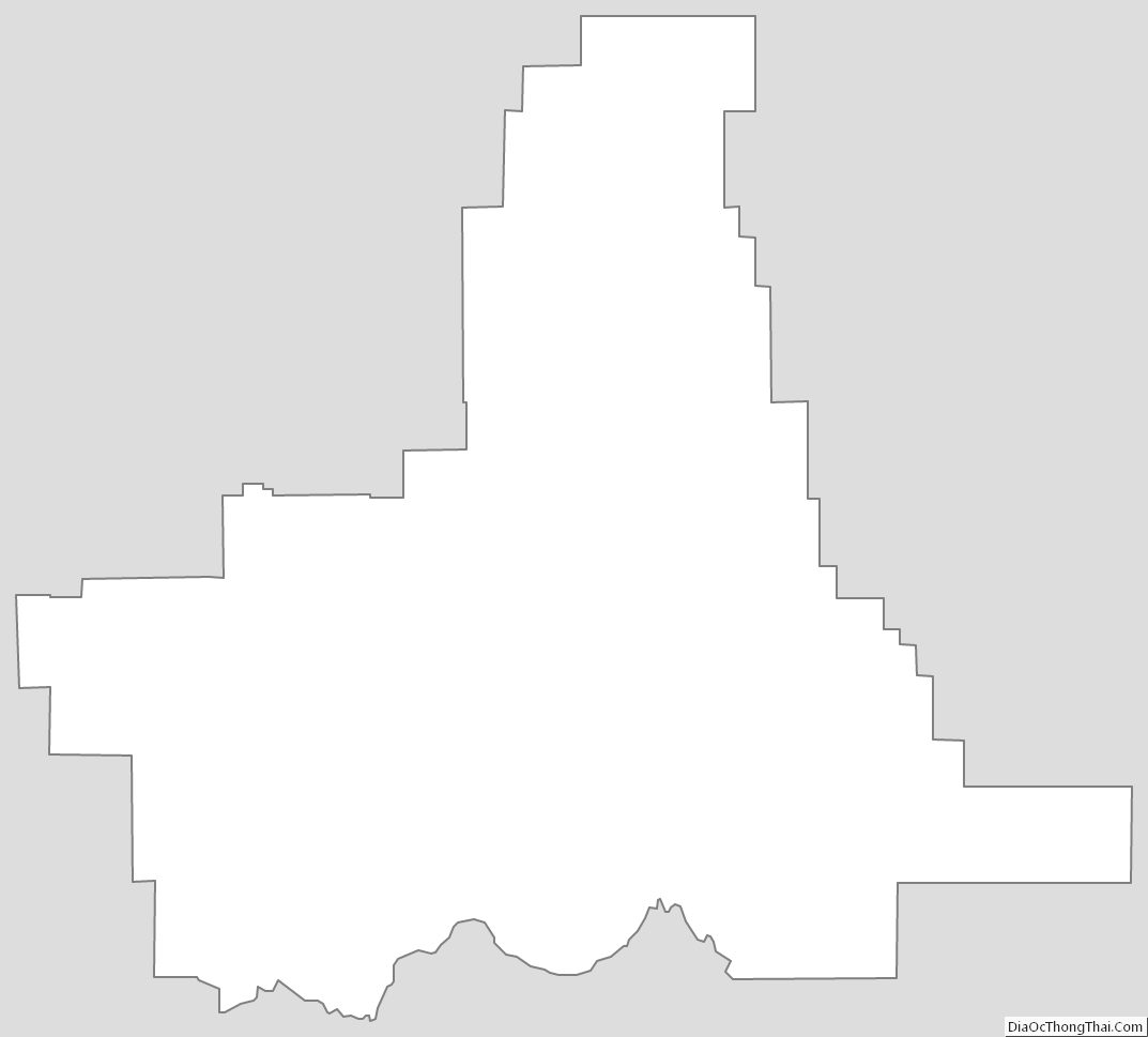
Union County Outline Map