Valley City is a city in Barnes County, North Dakota, United States. It is the county seat of Barnes County. The population was 6,575 during the 2020 census, making it the 12th largest city in North Dakota. Valley City was founded in 1874.
Valley City is known for its many bridges over the Sheyenne River, including the Hi-Line Railroad Bridge. These bridges have earned it the nickname “City of Bridges”. The city is also the home of Valley City State University and the North Dakota High School Activities Association (NDHSAA).
| Name: | Valley City city |
|---|---|
| LSAD Code: | 25 |
| LSAD Description: | city (suffix) |
| State: | North Dakota |
| County: | Barnes County |
| Elevation: | 1,217 ft (371 m) |
| Total Area: | 4.21 sq mi (10.90 km²) |
| Land Area: | 4.21 sq mi (10.89 km²) |
| Water Area: | 0.00 sq mi (0.01 km²) |
| Total Population: | 6,575 |
| Population Density: | 1,563.61/sq mi (603.73/km²) |
| ZIP code: | 58072 |
| Area code: | 701 |
| FIPS code: | 3881180 |
| GNISfeature ID: | 1032618 |
| Website: | valleycity.us |
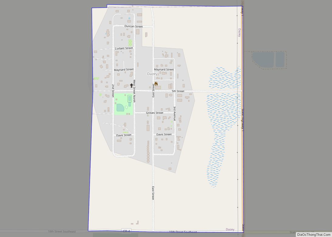
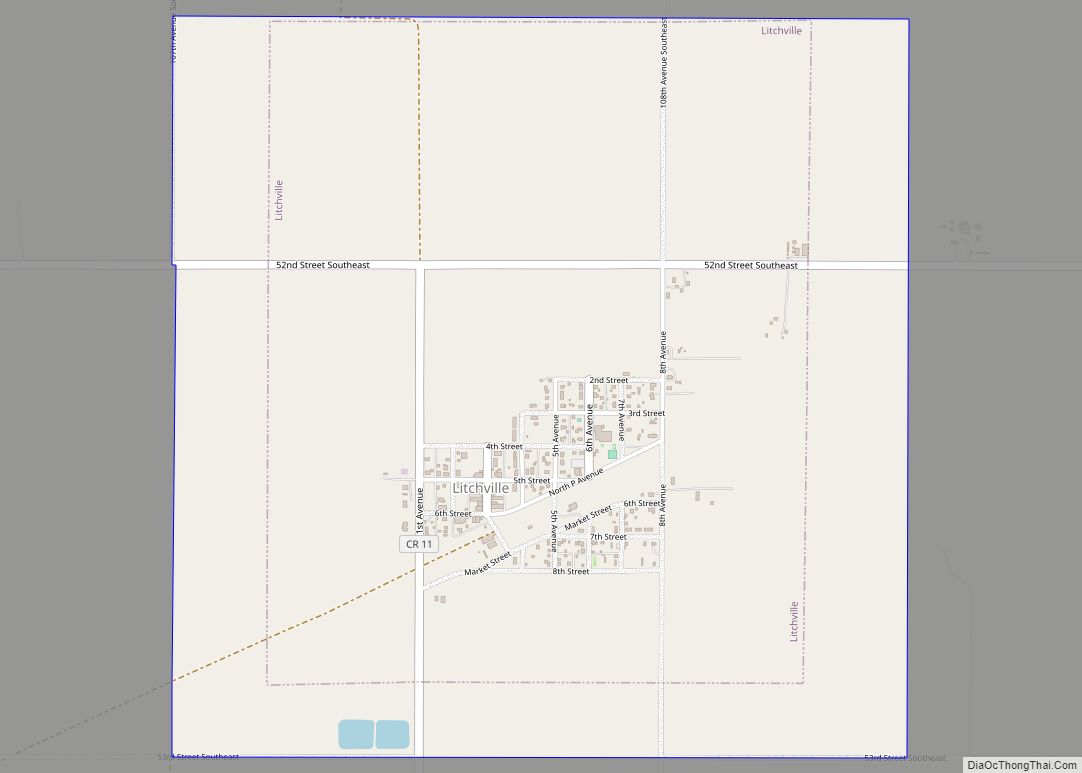
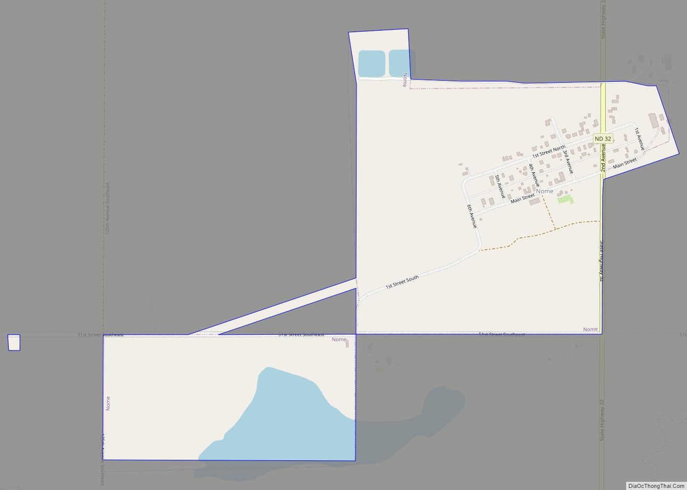
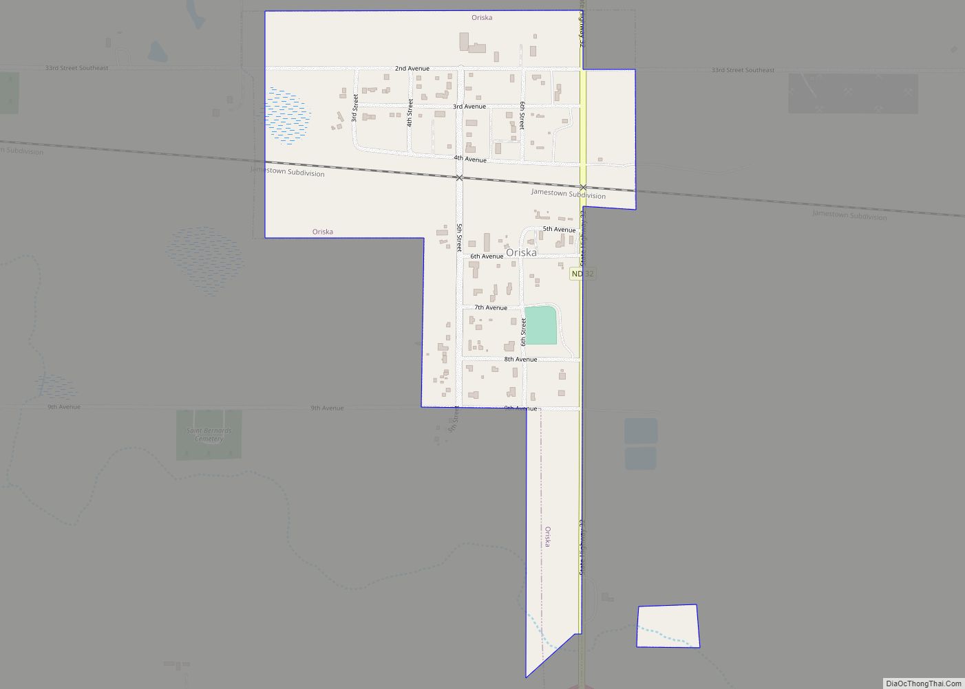
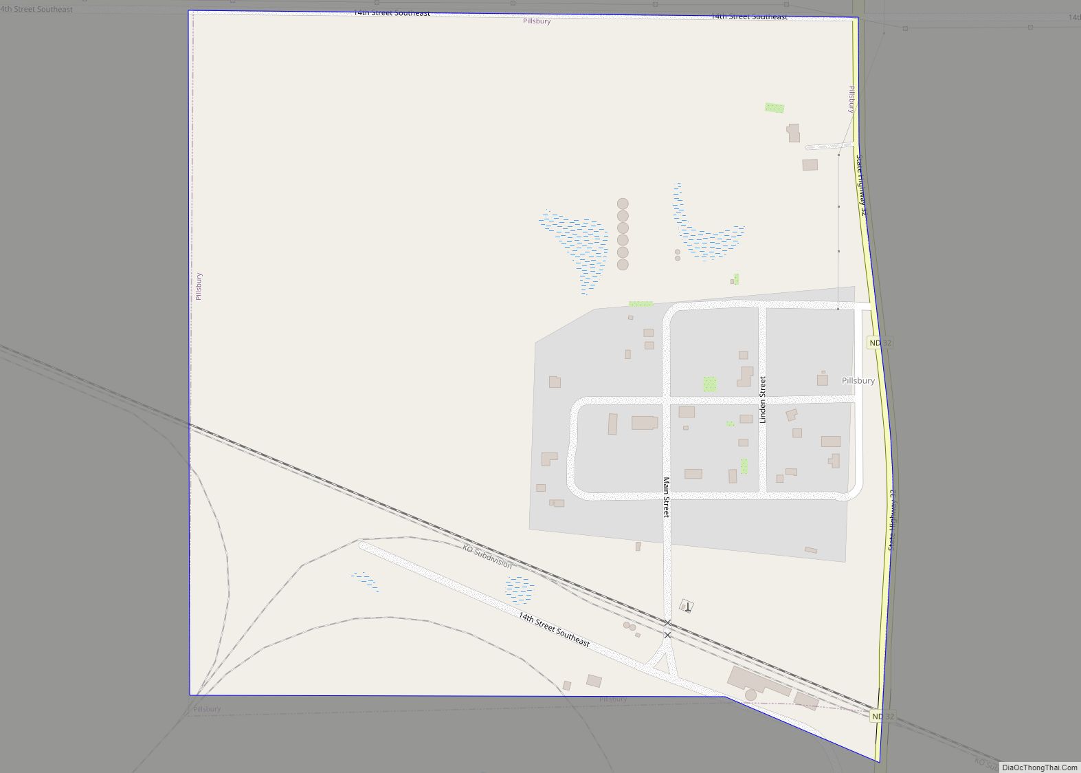
Online Interactive Map
Click on ![]() to view map in "full screen" mode.
to view map in "full screen" mode.
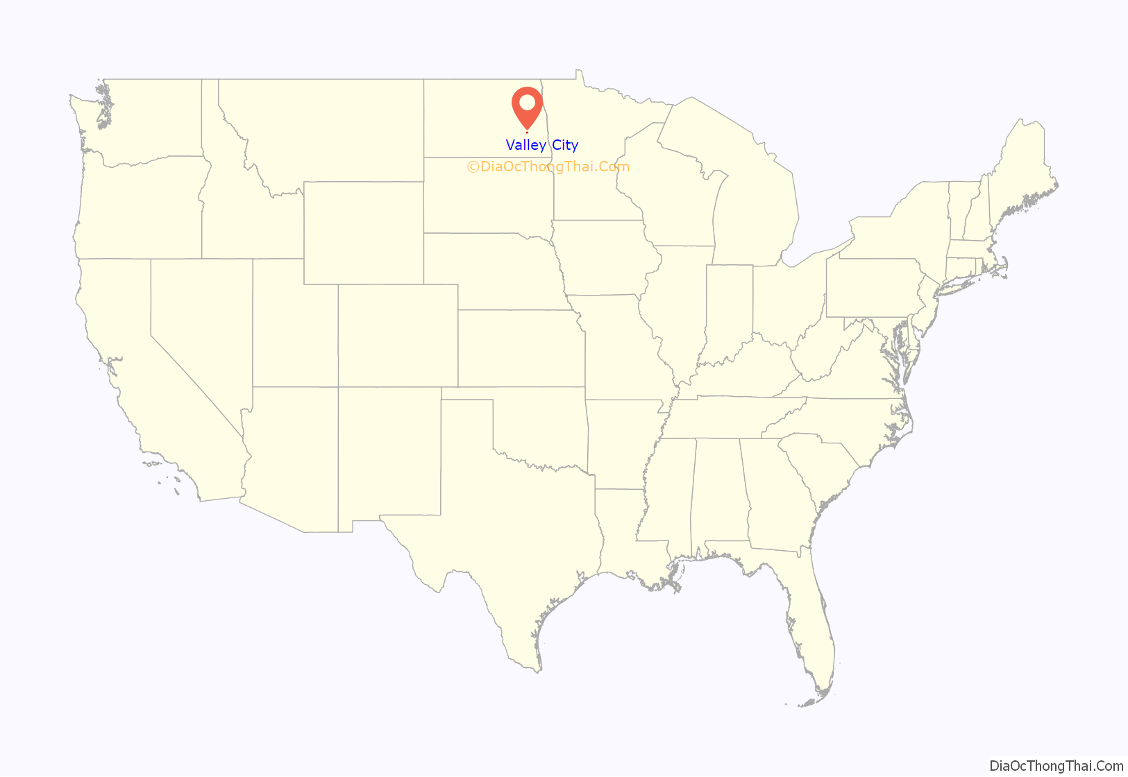
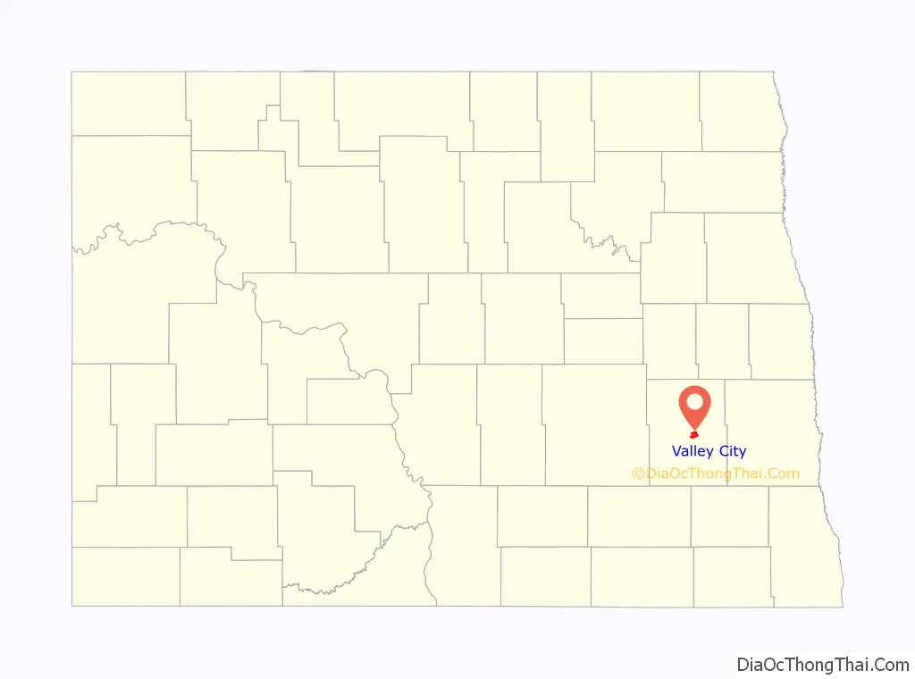
Valley City location map. Where is Valley City city?
History
Valley City was established in 1874 with the building of a railroad station. The town was originally named Worthington after the town’s promoter, George Worthington. The present name is for the city’s location in the valley of the Sheyenne River. A post office was established under the name Worthington in 1874, and has continued to operate under the name Valley City since 1878. A Carnegie Library opened in 1903 through the efforts of the “Tuesday Club,” a local women’s organization. The inception of the nation’s first barber association occurred in Valley City during a state barber convention in February, 1909.
Valley City Road Map
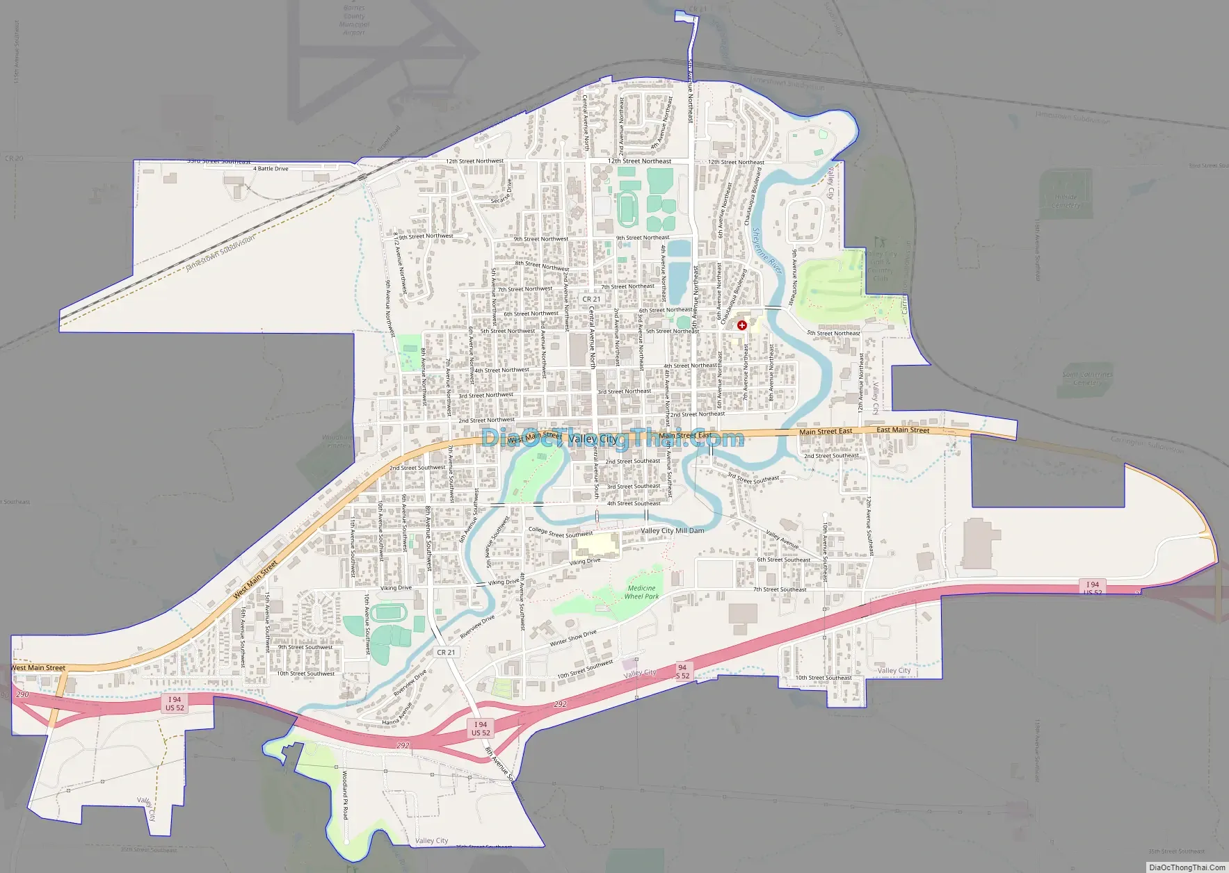
Valley City city Satellite Map

Geography
Valley City is located at 46°55′29″N 98°0′20″W / 46.92472°N 98.00556°W / 46.92472; -98.00556 (46.924632, −98.005438).
According to the U.S. Census Bureau, the city has a total area of 3.46 square miles (8.96 km), all land.
See also
Map of North Dakota State and its subdivision:- Adams
- Barnes
- Benson
- Billings
- Bottineau
- Bowman
- Burke
- Burleigh
- Cass
- Cavalier
- Dickey
- Divide
- Dunn
- Eddy
- Emmons
- Foster
- Golden Valley
- Grand Forks
- Grant
- Griggs
- Hettinger
- Kidder
- Lamoure
- Logan
- McHenry
- McIntosh
- McKenzie
- McLean
- Mercer
- Morton
- Mountrail
- Nelson
- Oliver
- Pembina
- Pierce
- Ramsey
- Ransom
- Renville
- Richland
- Rolette
- Sargent
- Sheridan
- Sioux
- Slope
- Stark
- Steele
- Stutsman
- Towner
- Traill
- Walsh
- Ward
- Wells
- Williams
- Alabama
- Alaska
- Arizona
- Arkansas
- California
- Colorado
- Connecticut
- Delaware
- District of Columbia
- Florida
- Georgia
- Hawaii
- Idaho
- Illinois
- Indiana
- Iowa
- Kansas
- Kentucky
- Louisiana
- Maine
- Maryland
- Massachusetts
- Michigan
- Minnesota
- Mississippi
- Missouri
- Montana
- Nebraska
- Nevada
- New Hampshire
- New Jersey
- New Mexico
- New York
- North Carolina
- North Dakota
- Ohio
- Oklahoma
- Oregon
- Pennsylvania
- Rhode Island
- South Carolina
- South Dakota
- Tennessee
- Texas
- Utah
- Vermont
- Virginia
- Washington
- West Virginia
- Wisconsin
- Wyoming