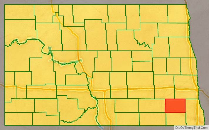
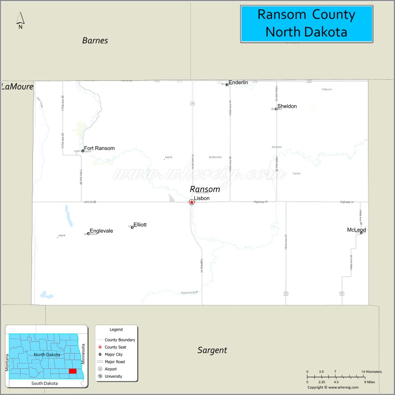
Ransom County is a county in the U.S. state of North Dakota. As of the 2020 census, the population was 5,703. Its county seat is Lisbon.
| Name: | Ransom County |
|---|---|
| FIPS code: | 38-073 |
| State: | North Dakota |
| Founded: | 1873 |
| Named for: | Fort Ransom |
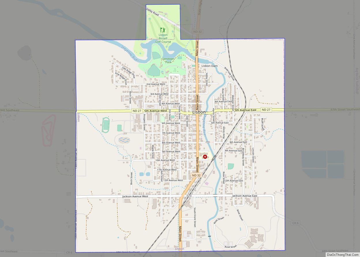
| Seat: | Lisbon |
| Largest city: | Lisbon |
| Total Area: | 864 sq mi (2,240 km²) |
| Land Area: | 862 sq mi (2,230 km²) |
| Total Population: | 5,703 |
| Population Density: | 6.6/sq mi (2.5/km²) |
| Time zone: | UTC−6 (Central) |
| Summer Time Zone (DST): | UTC−5 (CDT) |
| Website: | www.ransomcountynd.com |
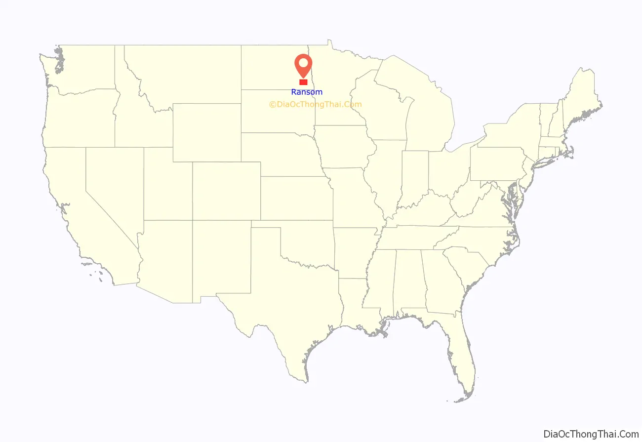
Ransom County location map. Where is Ransom County?
History
The Dakota Territory legislature created Ransom County on January 4, 1873. It was so named due to its military fort, which had been named Fort Ransom for Civil War veteran Major General Thomas E.G. Ransom. The fort had operated between 1867 and 1872. The county was not organized at that time, nor was it attached to another county for administrative or judicial purposes. Its proposed boundaries were altered two times during 1881. On April 4, 1881, the county government was effected. The county’s area was again reduced in 1883 when Sargent County was created. Ransom County has retained its present configuration since that time.
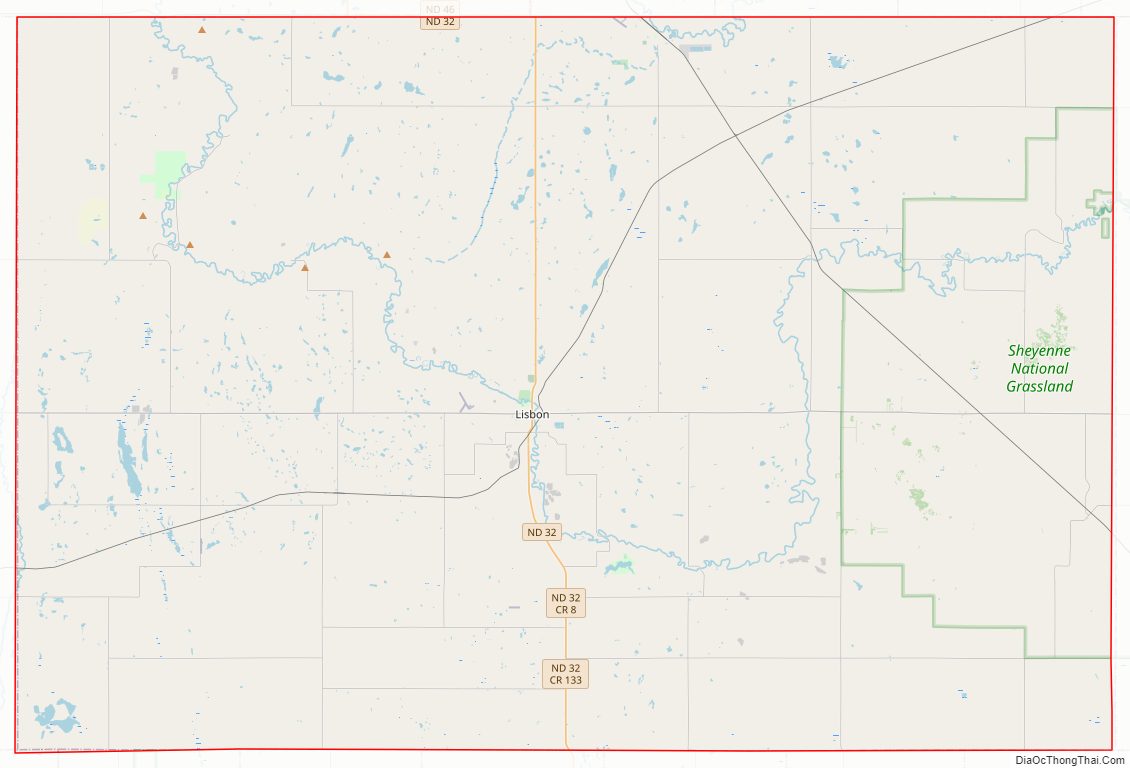
Ransom County Road Map
Geography
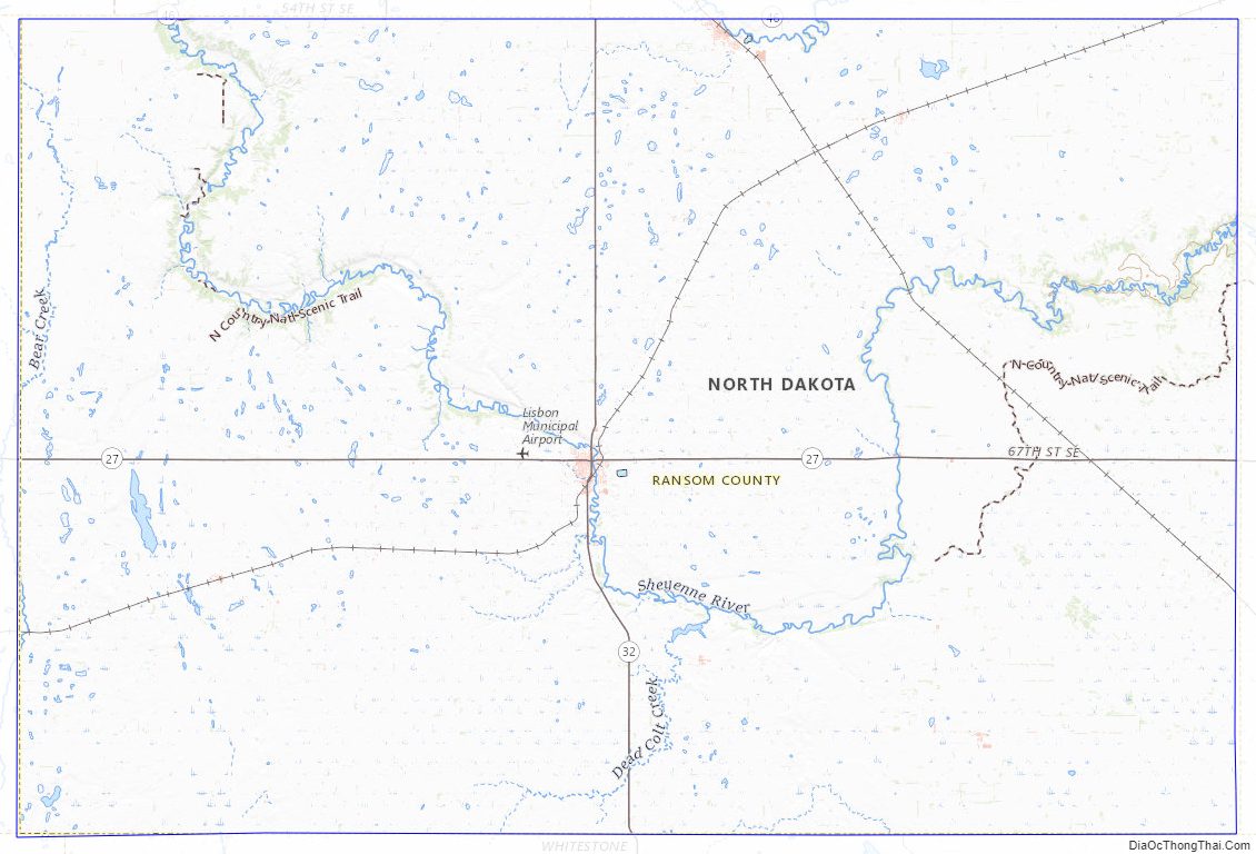
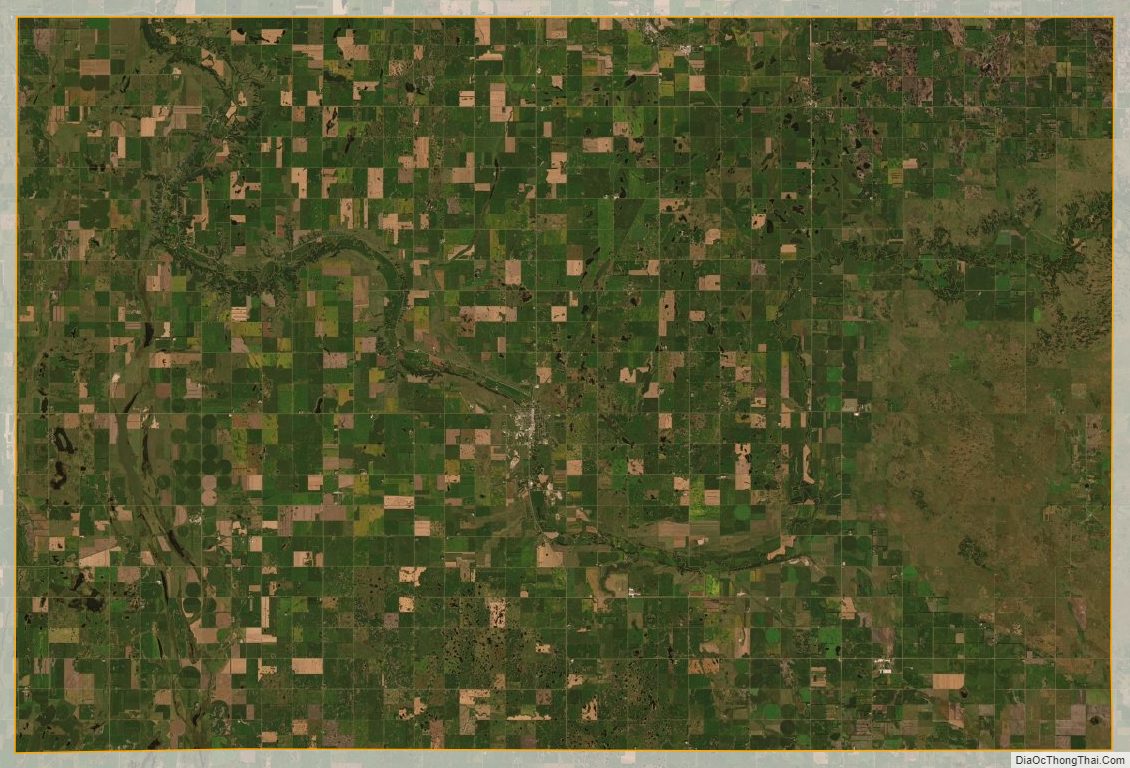
The Sheyenne River meanders through Ransom County. The county terrain consists of rolling hills, dotted with lakes and ponds in its western part. The area is largely devoted to agriculture. The terrain slopes to the east and south; its highest point is on the north boundary line near its northwestern corner, at 1,421′ (433m) ASL. The county has a total area of 864 square miles (2,240 km), of which 862 square miles (2,230 km) is land and 1.4 square miles (3.6 km) (0.2%) is water.
Major highways
- North Dakota Route 27
- North Dakota Route 32
- North Dakota Route 46
Adjacent counties
- Cass County – northeast
- Richland County – east
- Sargent County – south
- Dickey County – southwest
- LaMoure County – west
- Barnes County – northwest
Protected areas
- Browns Ranch
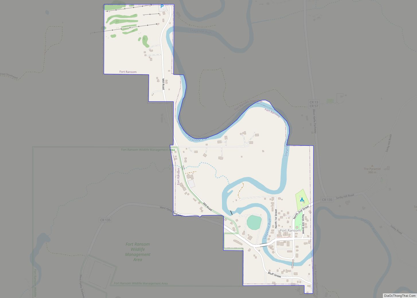
- Fort Ransom State Historic Site
- Fort Ransom State Park
- Nature Conservancy’s Sheyenne Delta
- North Country Trail
- Pigeon Point Reserve
- Sheyenne National Grassland (part)
- Sheyenne State Forest
Lakes
- Lone Tree Lake
Ransom County Topographic Map
Ransom County Satellite Map
Ransom County Outline Map