Sartell is a city in Benton and Stearns Counties in the U.S. state of Minnesota that straddles the Mississippi River. It is part of the St. Cloud Metropolitan Statistical Area. The population was 19,351 at the 2020 census, making it St. Cloud‘s most populous suburb and the fourth-largest city in central Minnesota, after St. Cloud, Elk River, and Willmar.
| Name: | Sartell city |
|---|---|
| LSAD Code: | 25 |
| LSAD Description: | city (suffix) |
| State: | Minnesota |
| County: | Benton County, Stearns County |
| Incorporated: | 1907 |
| Elevation: | 1,037 ft (316 m) |
| Total Area: | 10.42 sq mi (27.00 km²) |
| Land Area: | 10.16 sq mi (26.33 km²) |
| Water Area: | 0.26 sq mi (0.67 km²) |
| Total Population: | 19,351 |
| Population Density: | 1,903.69/sq mi (734.98/km²) |
| ZIP code: | 56377 |
| Area code: | 320 |
| FIPS code: | 2758612 |
| GNISfeature ID: | 0651225 |
| Website: | sartellmn.com |
Online Interactive Map
Click on ![]() to view map in "full screen" mode.
to view map in "full screen" mode.
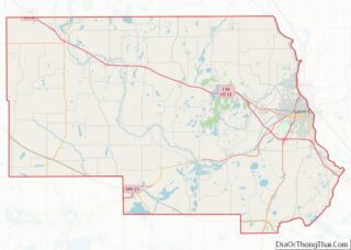
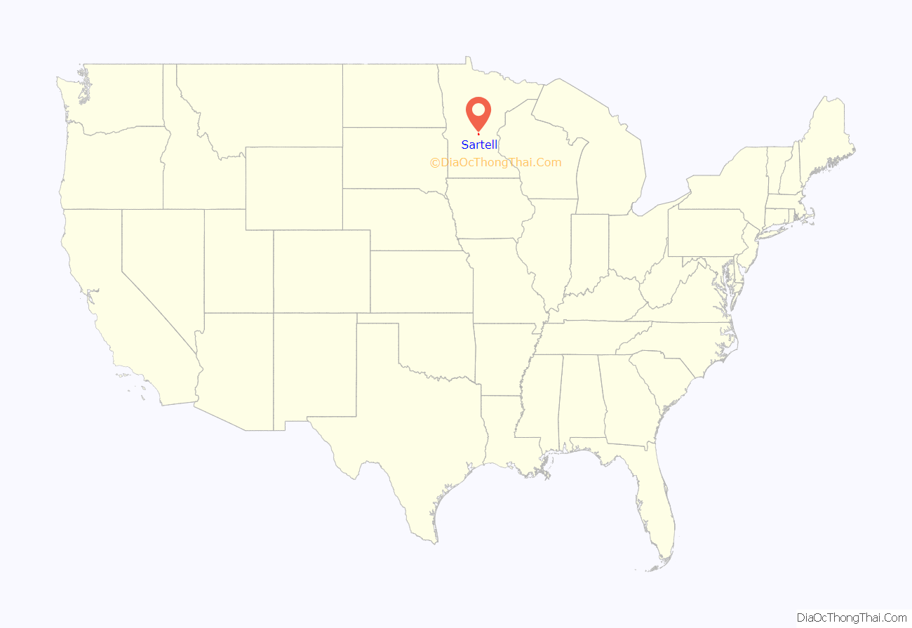
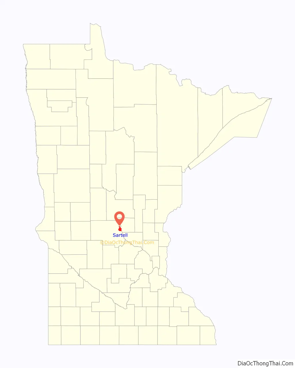
Sartell location map. Where is Sartell city?
History
The first known Native American tribe in the area now known as Sartell were the Dakota. Greysolon du Luht (“Duluth”) visited the large Mdewakantonwan village Izatys on Mille Lacs Lake in 1679. As the Anishinaabe people moved westward around Lake Superior and into the interior away from the Europeans in the 18th century, they pushed the neighboring Sioux/Dakota people to their west—in present-day Minnesota—farther south and west away from them. By 1820 the Chippewa/Anishinaabe controlled all of northern Minnesota, but raids between them and the Dakota to the south continued. The area later named Sartell was an intertribal no man’s land when French fur traders and British geographers first descended the Mississippi River from the Anishinaabe north (Jean-Baptiste Perrault 1789, David Thompson 1798), and American explorers ascended the river from the Sioux south (Zebulon Pike 1805, Lewis Cass 1820, Henry Schoolcraft 1832, Joseph Nicollet 1836).
The Watab Creek in Sartell marked part of the border between the Anishinaabe to the north and the Dakota to the south, who had lived farther north and east before the Anishinaabe’s westward migrations. The U.S. legally established this border in its 1825 Treaty with the tribes at Prairie du Chien, which established a demarcation line between the Sioux and the Ojibwe at “the mouth of the first river which enters the Mississippi on its west side above the mouth of Sac (Sauk) river; thence ascending the said river (above the mouth of Sac river)”.
In 1846, 1,300 Ho-Chunk people were moved to the Sartell area, followed by the Chippewa/Anishinaabe sale of the area north of the Watab River and west of the Mississippi to the U.S. In 1848, more members of the Ho-Chunk/Winnebago tribe (related Dakotan speakers) were moved by order of the U.S. government to the mouth of the Watab Creek, now called the Long Prairie reservation, to serve as a human buffer between the warring Dakota and Anishinaabe. Unhappy living between two warring tribes, the Ho-Chunk stayed less than five years, moving again in 1853 to more peaceful territory 50 miles south on the Mississippi. Three years later they sold their grist and saw mills and moved south of Mankato. A 100-yard section of the old “Indian Trail” still remains just north of the creek’s mouth albeit overgrown. The area was known as “Winnebago” at the time of the 1866 ribbon map of the Mississippi River.
Sartell got its start as a small American town on the Mississippi River with lumber and a paper company as its main industries. The city’s present site was originally called “The Third Rapids”, as it was the third set of rough waters that French fur traders encountered as they traveled north from Saint Anthony Falls in Minneapolis.
One of the first white people to settle in the fledgling town was Joseph B. Sartell, who arrived in 1854 and worked as a millwright at a local sawmill. In 1877, he opened a flour mill at the nearby Watab River, and in 1884 he started Sartell Brothers Lumber Company with his sons.
In 1905, construction began on both the Sartell Pulp and Paper Company and the Sartell Dam across the Mississippi, near the “third rapids”. Both were completed in 1907, the dam project having claimed the lives of seven workers. Watab Pulp and Paper was rebuilt and expanded through the years, passing through multiple ownerships and eventually emerging as Verso Paper’s Sartell mill, the city’s largest employer.
In 1907, residents of the town decided to incorporate. Several influential people felt the town ought to be named Wengert, after a local businessman. But because of Joseph Sartell’s many relatives and generous contributions to the community, the town was incorporated as “The Village of Sartell” in his honor. From 1907 until 1973 there was a Sartell on nearly every City Council, the most prominent being Ripley “Rip” B. Sartell, store owner and mayor for 31 years.
The village continued to grow slowly, developing a number of businesses and a downtown on the east side of the Mississippi along U.S. Highway 10. In the 1960s, the highway was rerouted farther east, contributing to the downtown’s demise. In 1973 the Minnesota Legislature required all municipal designations be changed to “city”, so “the Village of Sartell” became “the City of Sartell”. The construction of the Sartell Bridge over the Mississippi in the early 1980s replaced the remaining businesses. This and Sartell’s location near St. Cloud‘s major retail center account for its lack of a traditional “downtown”.
Independent School District 748, Sartell-St. Stephen, was created in 1969 because residents wanted to educate their children locally. Despite the lack of a downtown, the city continued to grow at an increasing pace in the 1970s. From 1960 to the present, the city’s population has gone from 700 to over 18,000.
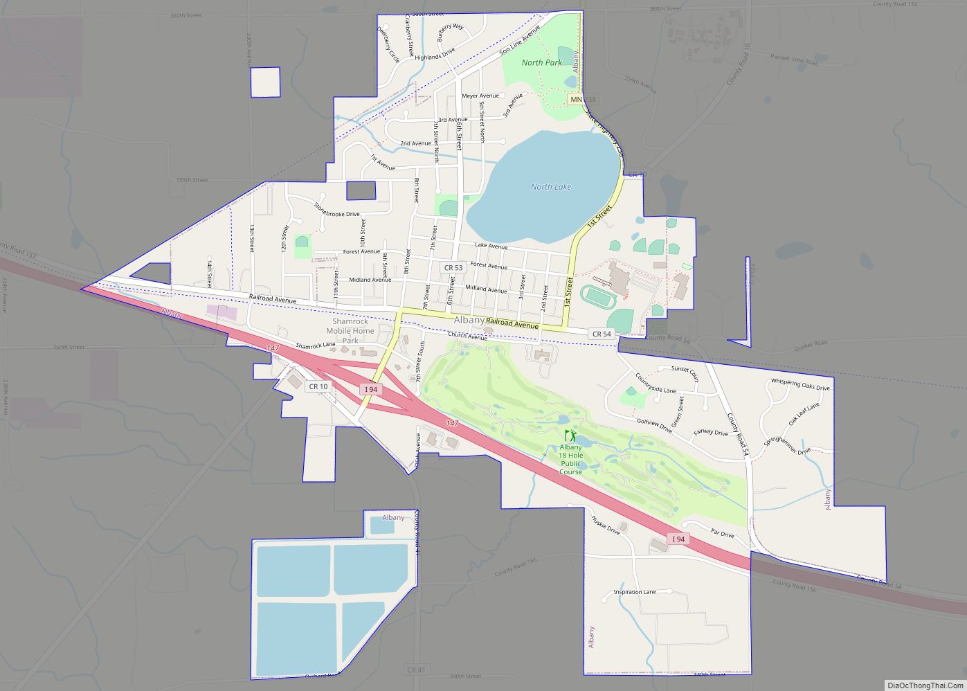
Sartell Road Map
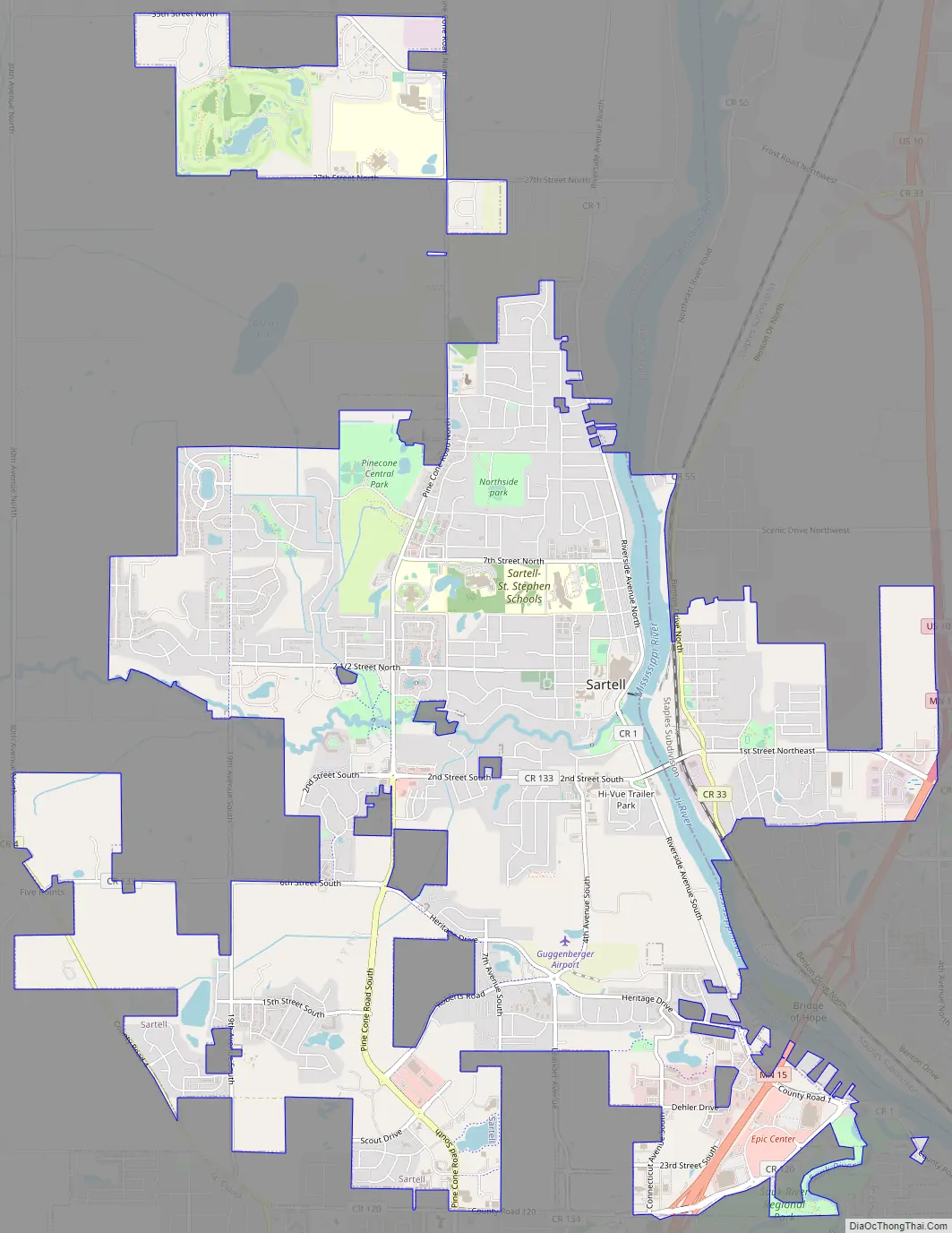
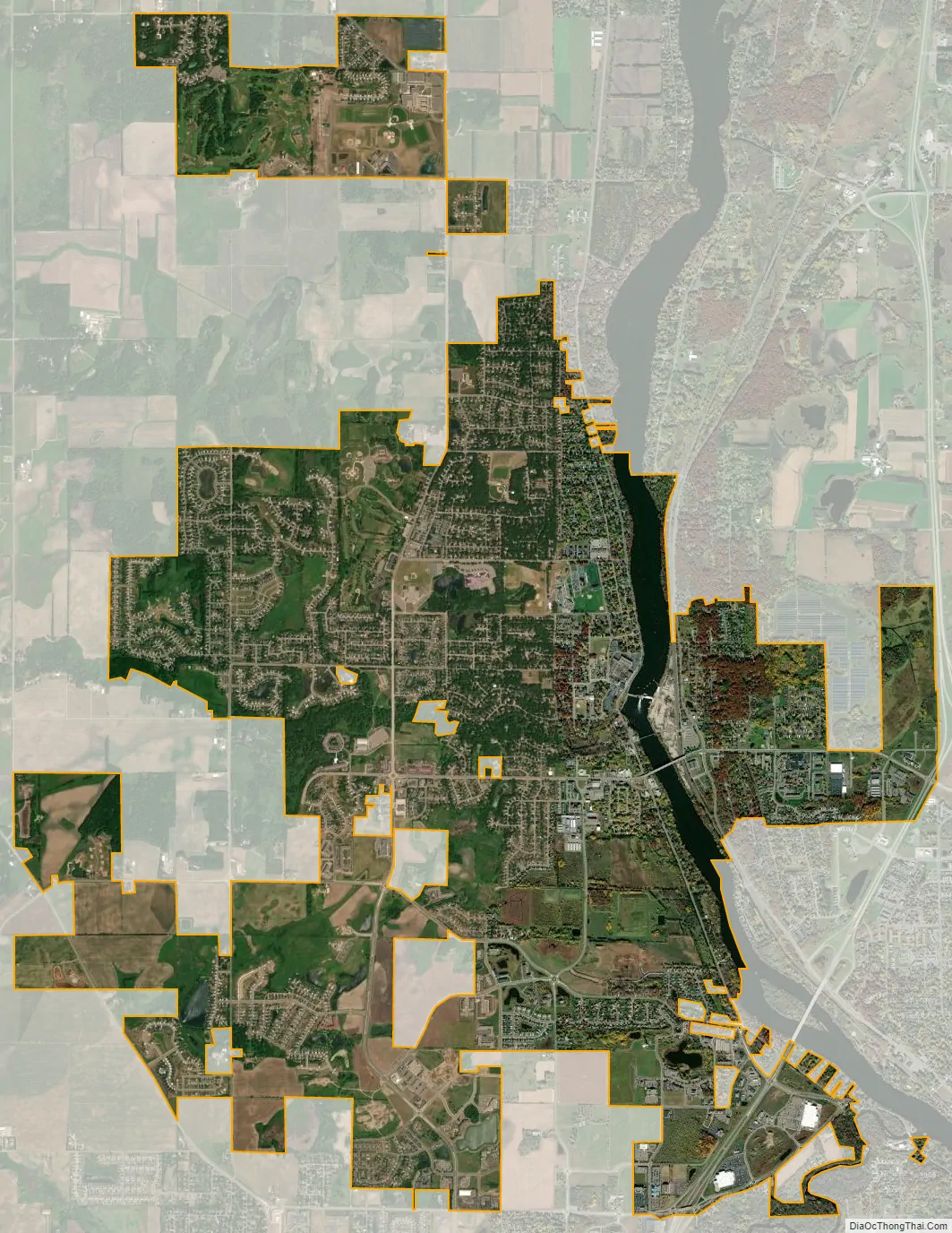
Sartell city Satellite Map
Geography
According to the United States Census Bureau, the city has an area of 10.05 square miles (26.03 km); 9.80 square miles (25.38 km) is land and 0.25 square miles (0.65 km) is water.
U.S. Highway 10, Minnesota State Highway 15, and County 1 are three of Sartell’s main routes. Other nearby routes in the St. Cloud area include Interstate 94/U.S. Highway 52, Minnesota State Highway 23, and County 75. Sartell is immediately north of St. Cloud.
The city is on the Mississippi River, with the surrounding undeveloped property composed mainly of woodlands and farmland.
See also
Map of Minnesota State and its subdivision:- Aitkin
- Anoka
- Becker
- Beltrami
- Benton
- Big Stone
- Blue Earth
- Brown
- Carlton
- Carver
- Cass
- Chippewa
- Chisago
- Clay
- Clearwater
- Cook
- Cottonwood
- Crow Wing
- Dakota
- Dodge
- Douglas
- Faribault
- Fillmore
- Freeborn
- Goodhue
- Grant
- Hennepin
- Houston
- Hubbard
- Isanti
- Itasca
- Jackson
- Kanabec
- Kandiyohi
- Kittson
- Koochiching
- Lac qui Parle
- Lake
- Lake of the Woods
- Lake Superior
- Le Sueur
- Lincoln
- Lyon
- Mahnomen
- Marshall
- Martin
- McLeod
- Meeker
- Mille Lacs
- Morrison
- Mower
- Murray
- Nicollet
- Nobles
- Norman
- Olmsted
- Otter Tail
- Pennington
- Pine
- Pipestone
- Polk
- Pope
- Ramsey
- Red Lake
- Redwood
- Renville
- Rice
- Rock
- Roseau
- Saint Louis
- Scott
- Sherburne
- Sibley
- Stearns
- Steele
- Stevens
- Swift
- Todd
- Traverse
- Wabasha
- Wadena
- Waseca
- Washington
- Watonwan
- Wilkin
- Winona
- Wright
- Yellow Medicine
- Alabama
- Alaska
- Arizona
- Arkansas
- California
- Colorado
- Connecticut
- Delaware
- District of Columbia
- Florida
- Georgia
- Hawaii
- Idaho
- Illinois
- Indiana
- Iowa
- Kansas
- Kentucky
- Louisiana
- Maine
- Maryland
- Massachusetts
- Michigan
- Minnesota
- Mississippi
- Missouri
- Montana
- Nebraska
- Nevada
- New Hampshire
- New Jersey
- New Mexico
- New York
- North Carolina
- North Dakota
- Ohio
- Oklahoma
- Oregon
- Pennsylvania
- Rhode Island
- South Carolina
- South Dakota
- Tennessee
- Texas
- Utah
- Vermont
- Virginia
- Washington
- West Virginia
- Wisconsin
- Wyoming