Blaine County is a county in the U.S. state of Montana. As of the 2020 census, the population was 7,044. Its county seat is Chinook. The county was named for James G. Blaine, former United States Secretary of State. It is on the north line of the state, and thus shares the southern border of Canada opposite Saskatchewan.
| Name: | Blaine County |
|---|---|
| FIPS code: | 30-005 |
| State: | Montana |
| Founded: | 1912 |
| Named for: | James G. Blaine |
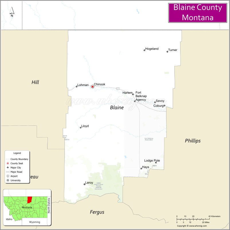
| Seat: | Chinook |
| Largest city: | Chinook |
| Total Area: | 4,239 sq mi (10,980 km²) |
| Land Area: | 4,228 sq mi (10,950 km²) |
| Total Population: | 7,044 |
| Population Density: | 1.7/sq mi (0.64/km²) |
| Time zone: | UTC−7 (Mountain) |
| Summer Time Zone (DST): | UTC−6 (MDT) |
| Website: | www.blainecounty-mt.gov |
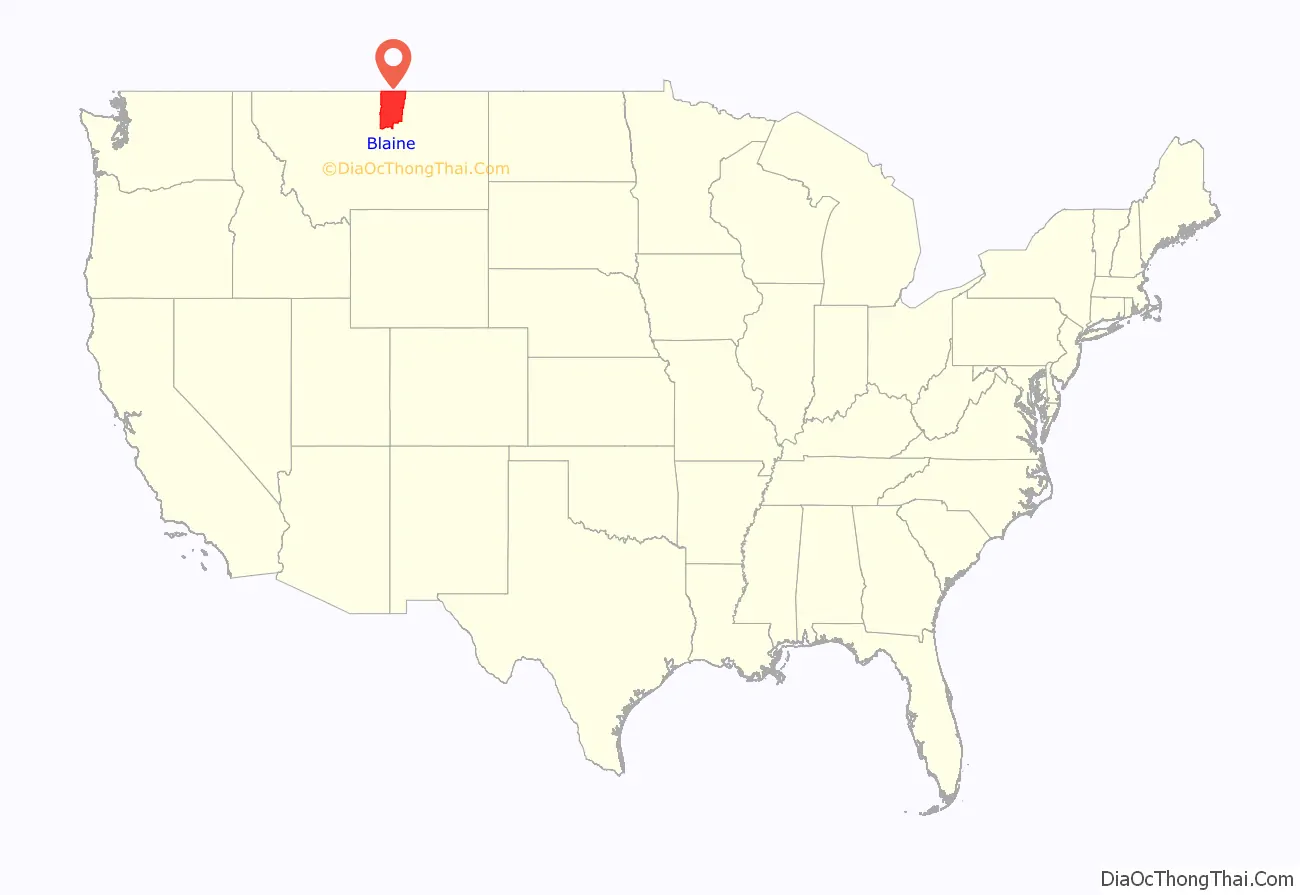
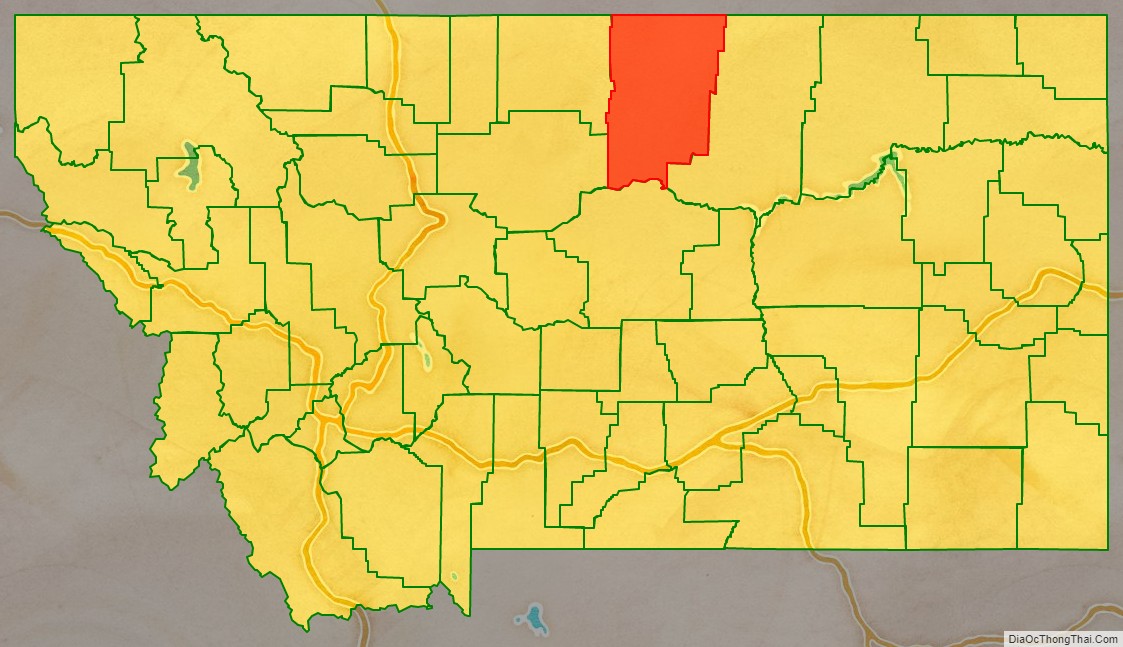
Blaine County location map. Where is Blaine County?
History
In 1912 Blaine, Phillips and Hill counties were formed from the area of Chouteau County. The original boundary of Blaine County included a portion of land in the west that is now included in Phillips County.
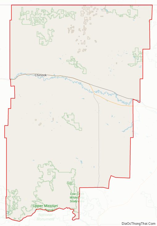
Blaine County Road Map
Geography
According to the United States Census Bureau, the county has a total area of 4,239 square miles (10,980 km), of which 4,228 square miles (10,950 km) is land and 11 square miles (28 km) (0.3%) is water.
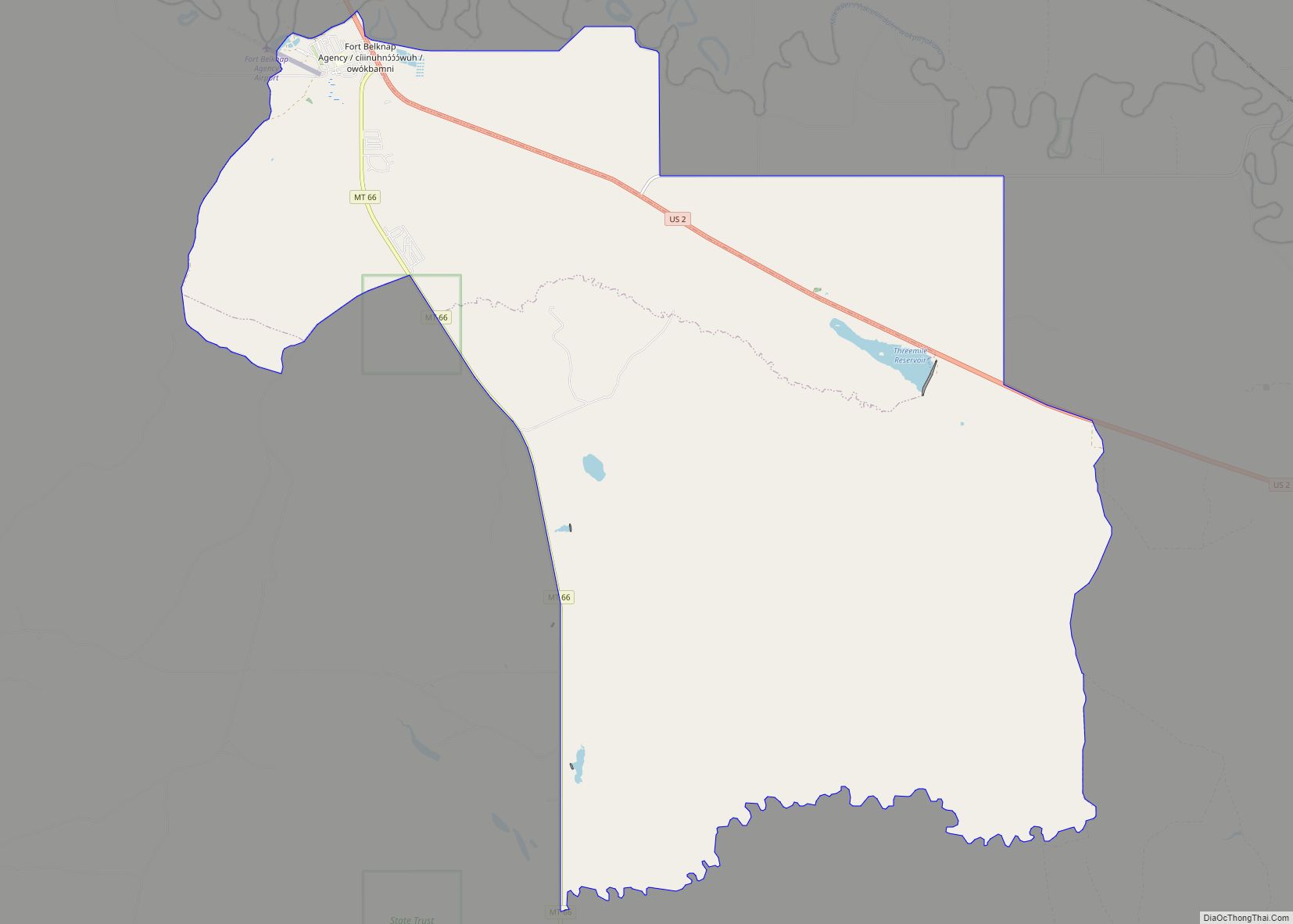
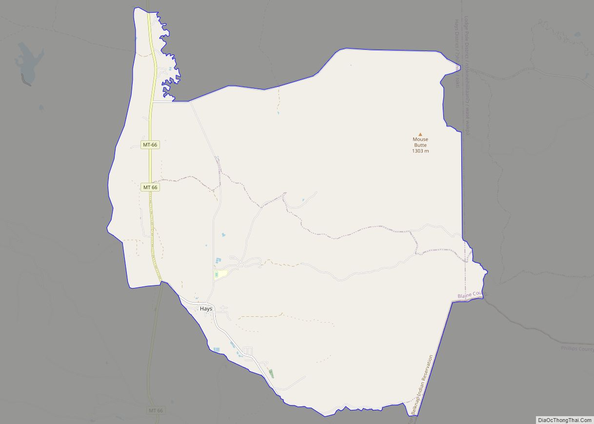
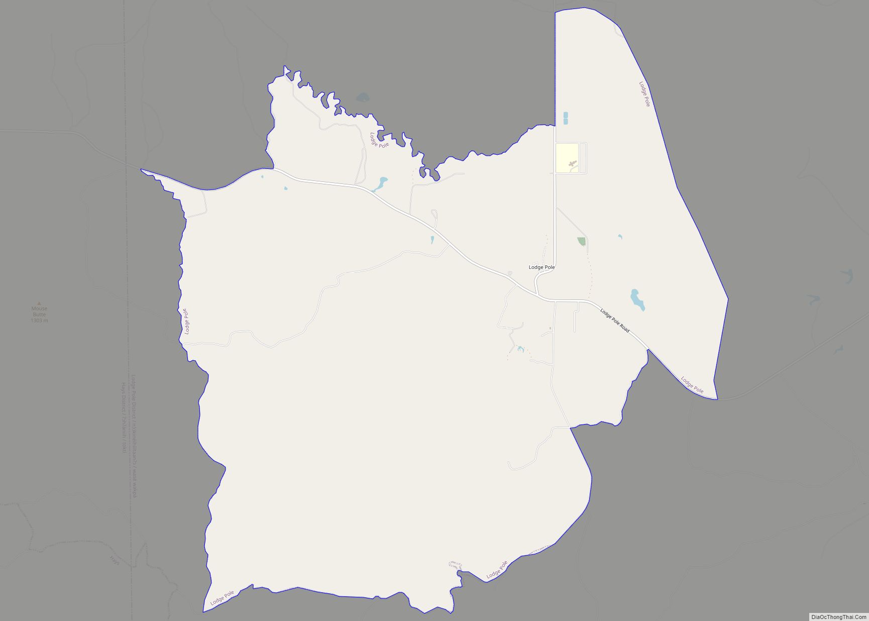
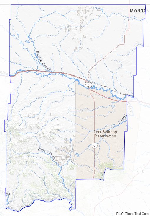
The majority of Fort Belknap Indian Reservation is located in the southeastern part of the county.
Features of the area include the Milk River, Bears Paw Mountains, and the Little Rocky Mountains.
Adjacent counties and rural municipalities
- Hill County – west
- Chouteau County – southwest
- Fergus County – south
- Phillips County – east
- Rural Municipality (RM) of Reno No. 51, Saskatchewan (SK) – northwest
- RM of Frontier No. 19, Saskatchewan, SK – north
- RM of Lone Tree No. 18, Saskatchewan, SK – northeast
National protected areas
- Black Coulee National Wildlife Refuge
- Nez Perce National Historical Park (part)
- Upper Missouri River Breaks National Monument (part)
Blaine County Topographic Map
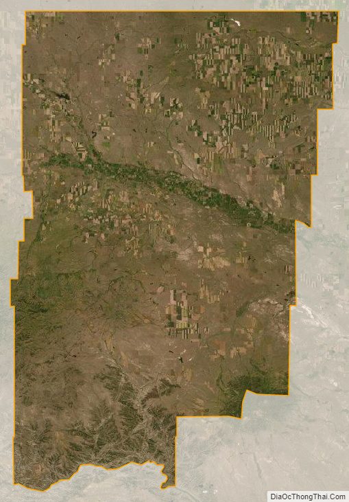
Blaine County Satellite Map
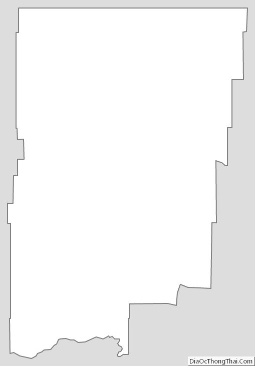
Blaine County Outline Map