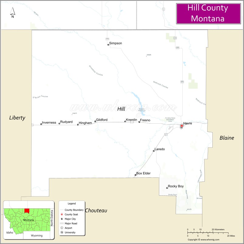
Hill County is a county located in the U.S. state of Montana. As of the 2020 census, the population was 16,309. Its county seat is Havre. It lies along the United States border with Canada, abutting Alberta and Saskatchewan.
Part of its territory is within the Rocky Boy Indian Reservation, which is held by the federally recognized Chippewa-Cree Tribe.
| Name: | Hill County |
|---|---|
| FIPS code: | 30-041 |
| State: | Montana |
| Founded: | 1912 |
| Named for: | James J. Hill |
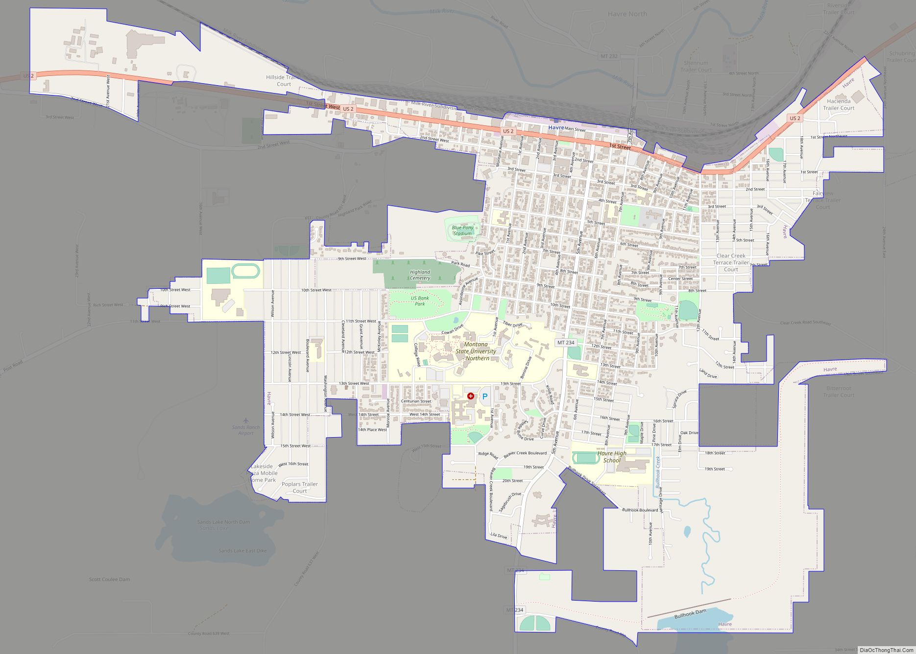
| Seat: | Havre |
| Largest city: | Havre |
| Total Area: | 2,916 sq mi (7,550 km²) |
| Land Area: | 2,899 sq mi (7,510 km²) |
| Total Population: | 16,309 |
| Population Density: | 5.6/sq mi (2.2/km²) |
| Time zone: | UTC−7 (Mountain) |
| Summer Time Zone (DST): | UTC−6 (MDT) |
| Website: | hillcounty.us |
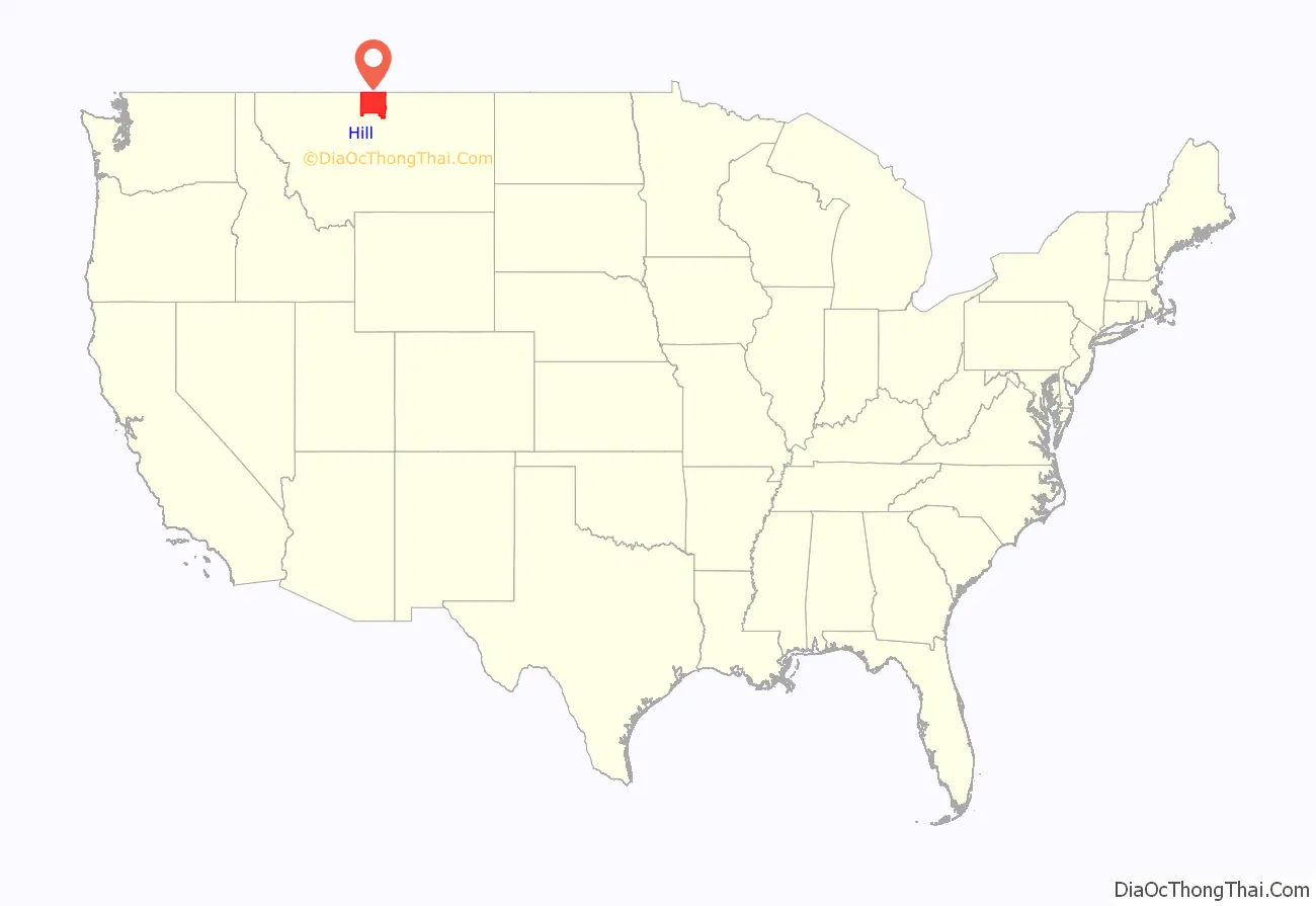
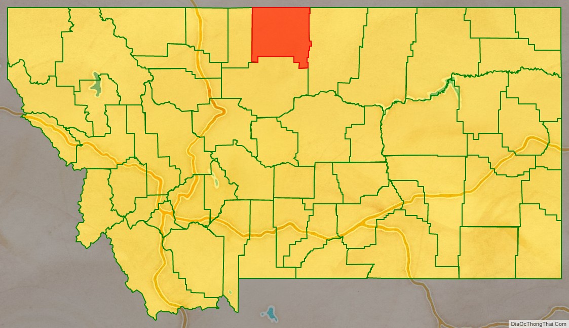
Hill County location map. Where is Hill County?
History
The first European-American settlement in the future county area was Fort Assinniboine, garrisoned by the United States Army in 1879. Fifteen of the original 104 structures from the fort are still standing. A portion of the fort was ceded for use as the Indian reservation, which was established in 1916.
The county is named after James J. Hill, president of the Great Northern Railway Company, which built the rail line across Montana as part of the Transcontinental Railroad to the Pacific coast.
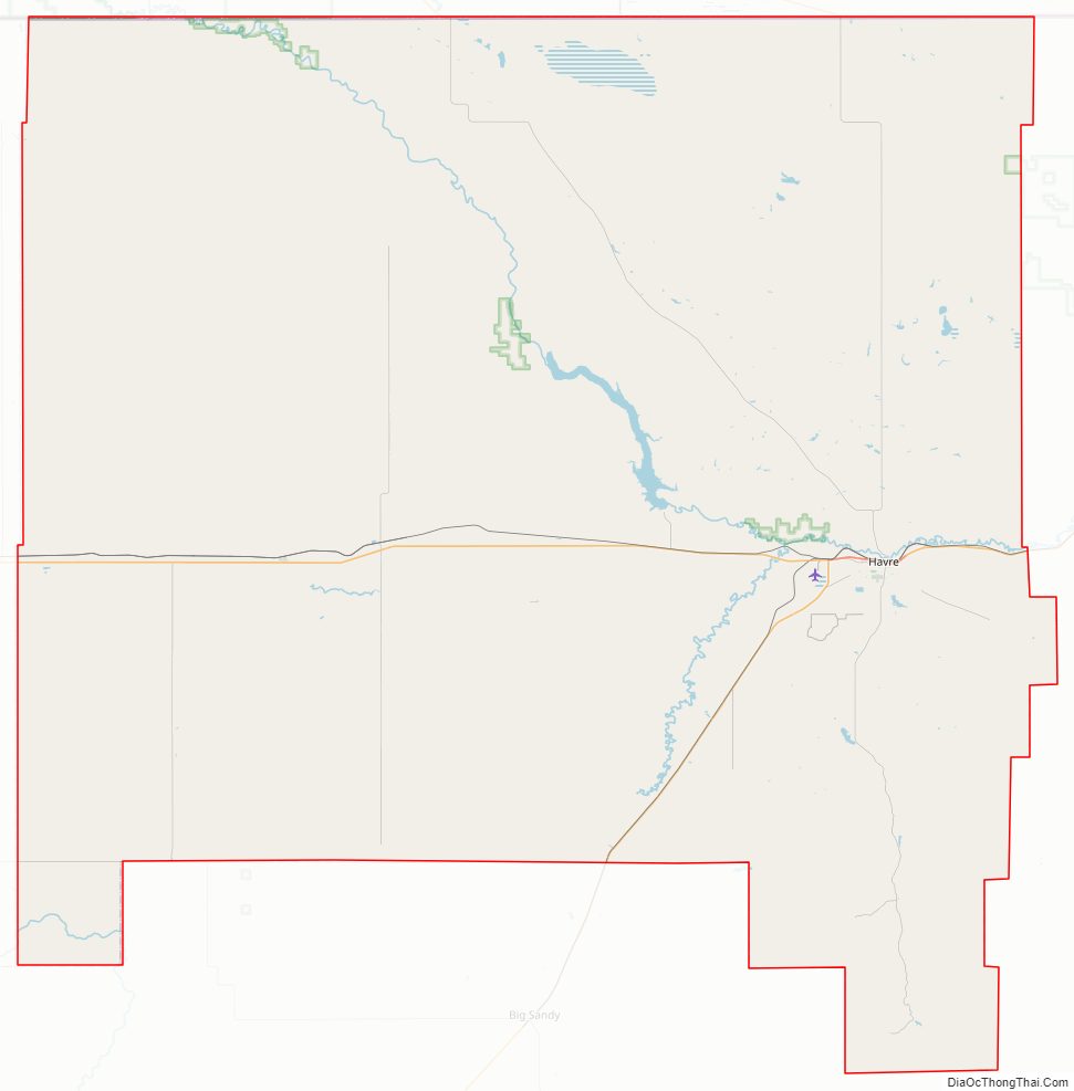
Hill County Road Map
Geography
According to the United States Census Bureau, the county has a total area of 2,916 square miles (7,550 km), of which 2,899 square miles (7,510 km) is land and 17 square miles (44 km) (0.6%) is water.
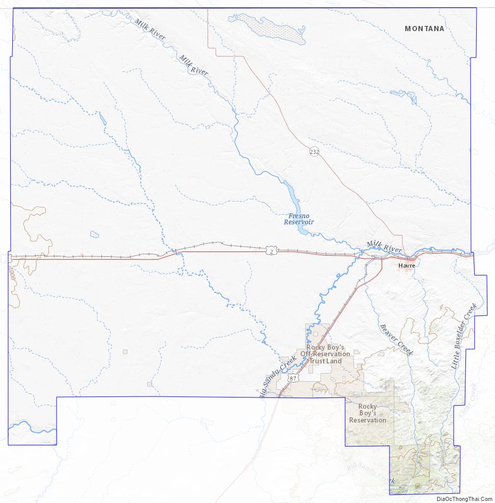
Hill County is on the “Hi-Line” in north-central Montana. It borders Blaine County to the east, Liberty County to the west, and Canada to the north. Hill County contains Beaver Creek Park, the nation’s largest county park.
It is one of the few locations in the United States to have an antipodal point on land, and its community of Rudyard is the only populated such place. The Kerguelen Islands are on the opposite side of the earth from parts of Hill County, while the antipodal points of almost all other places in the United States lie in the Indian Ocean.
Adjacent counties and rural municipalities
- Liberty County – west
- Chouteau County – south
- Blaine County – east
- County of Forty Mile No. 8, Alberta – northwest
- Cypress County, Alberta – north
- Rural Municipality of Reno No. 51, Saskatchewan – northeast
Major highways
- U.S. Route 2
- U.S. Route 87
National protected areas
- Creedman Coulee National Wildlife Refuge
- Lake Thibadeau National Wildlife Refuge
Hill County Topographic Map
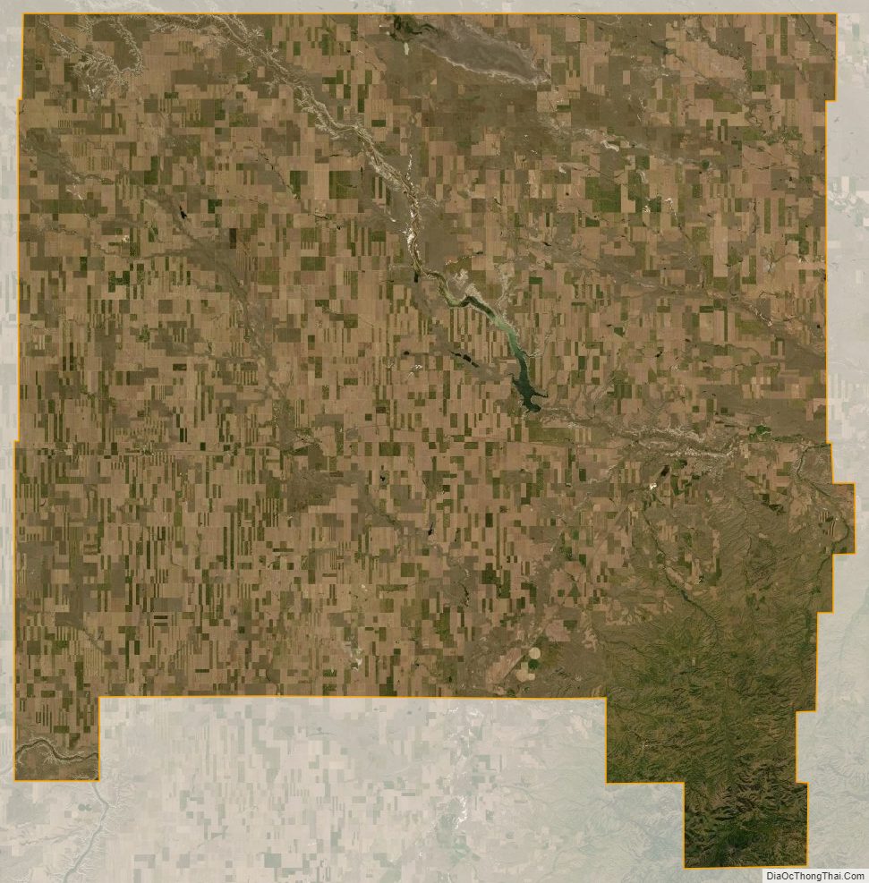
Hill County Satellite Map
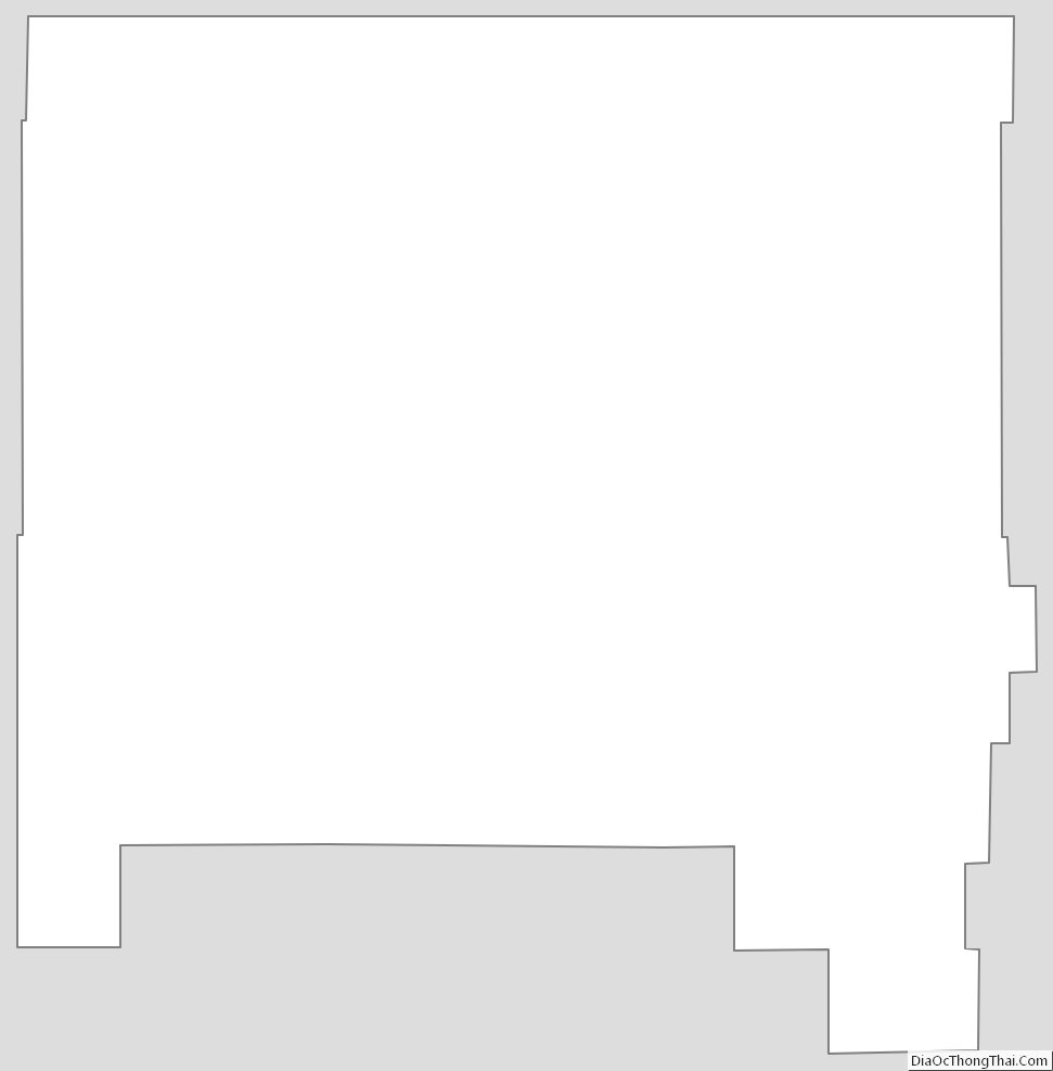
Hill County Outline Map