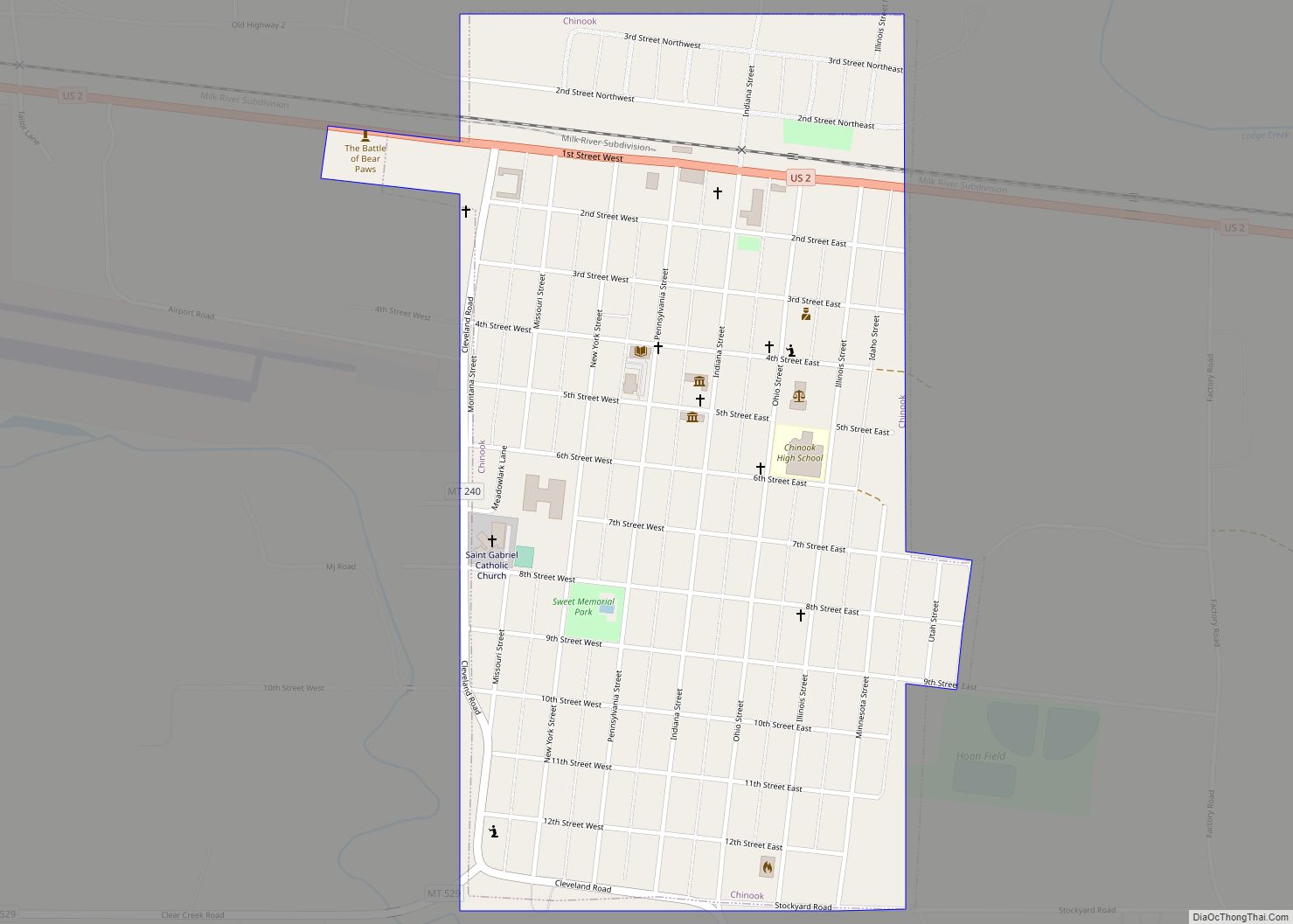
Chinook is a city in and the county seat of Blaine County, Montana, United States. The population was 1,185 at the 2020 census. Points of interest are the Bear Paw Battlefield Museum located in the small town’s center and the Bear Paw Battlefield, located twenty miles south of Chinook.
| Name: | Chinook city |
|---|---|
| LSAD Code: | 25 |
| LSAD Description: | city (suffix) |
| State: | Montana |
| County: | Blaine County |
| Elevation: | 2,428 ft (740 m) |
| Total Area: | 0.52 sq mi (1.35 km²) |
| Land Area: | 0.52 sq mi (1.35 km²) |
| Water Area: | 0.00 sq mi (0.00 km²) |
| Total Population: | 1,185 |
| Population Density: | 2,265.77/sq mi (875.33/km²) |
| ZIP code: | 59523, 59535 |
| Area code: | 406 |
| FIPS code: | 3014575 |
| GNISfeature ID: | 0769848 |
| Website: | cityofchinook.com |
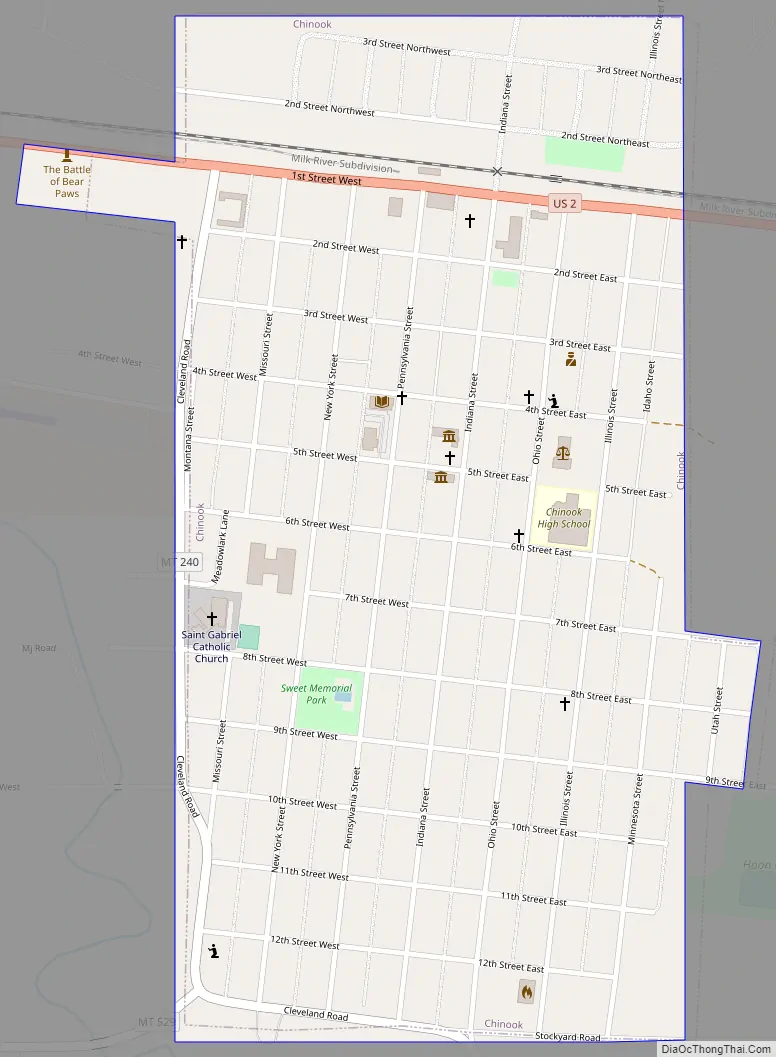
Online Interactive Map
Click on ![]() to view map in "full screen" mode.
to view map in "full screen" mode.
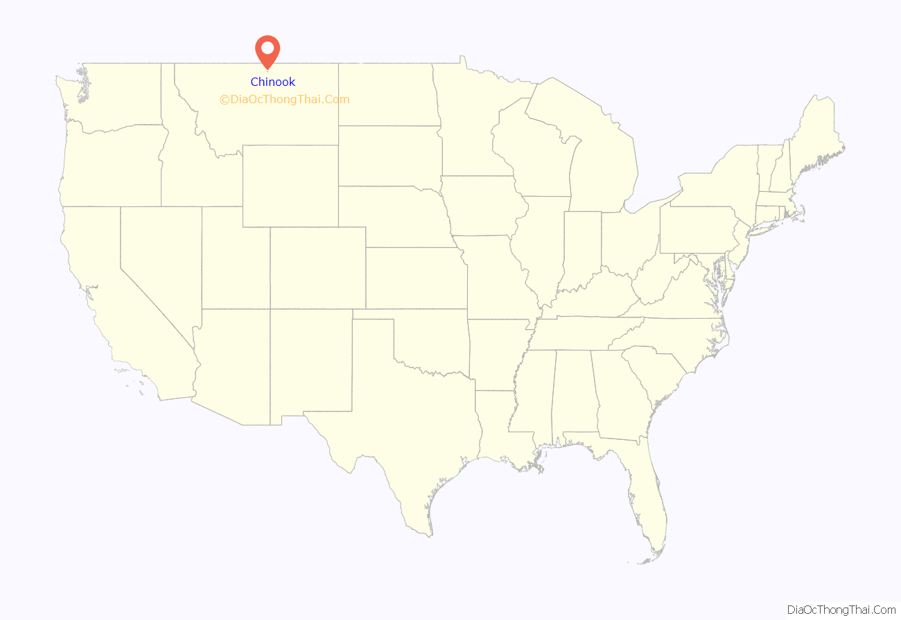
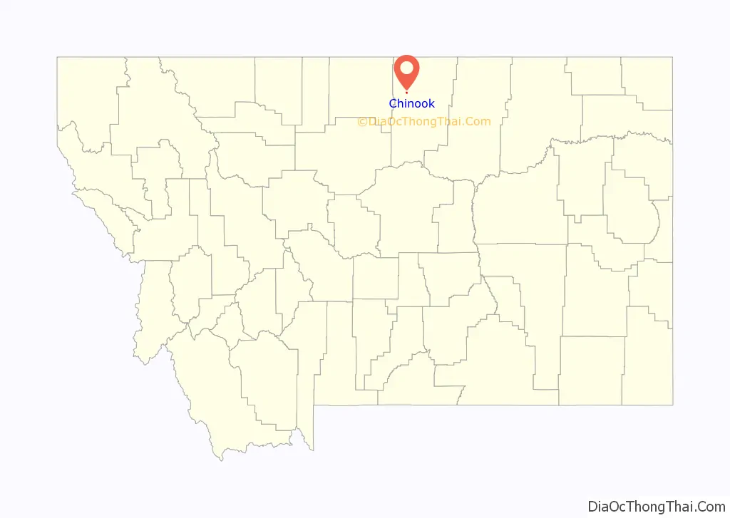
Chinook location map. Where is Chinook city?
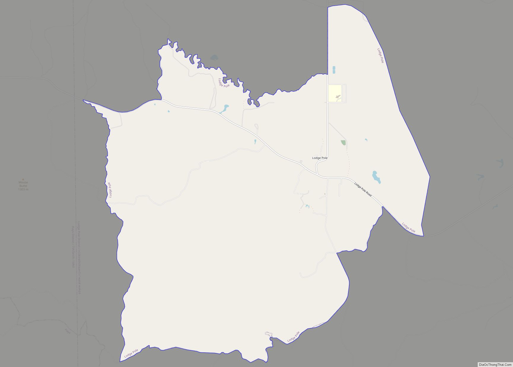
Chinook Road Map
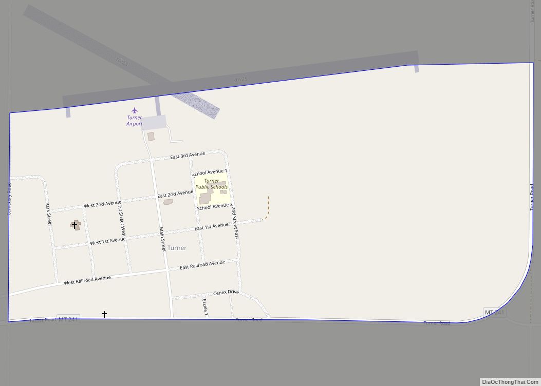
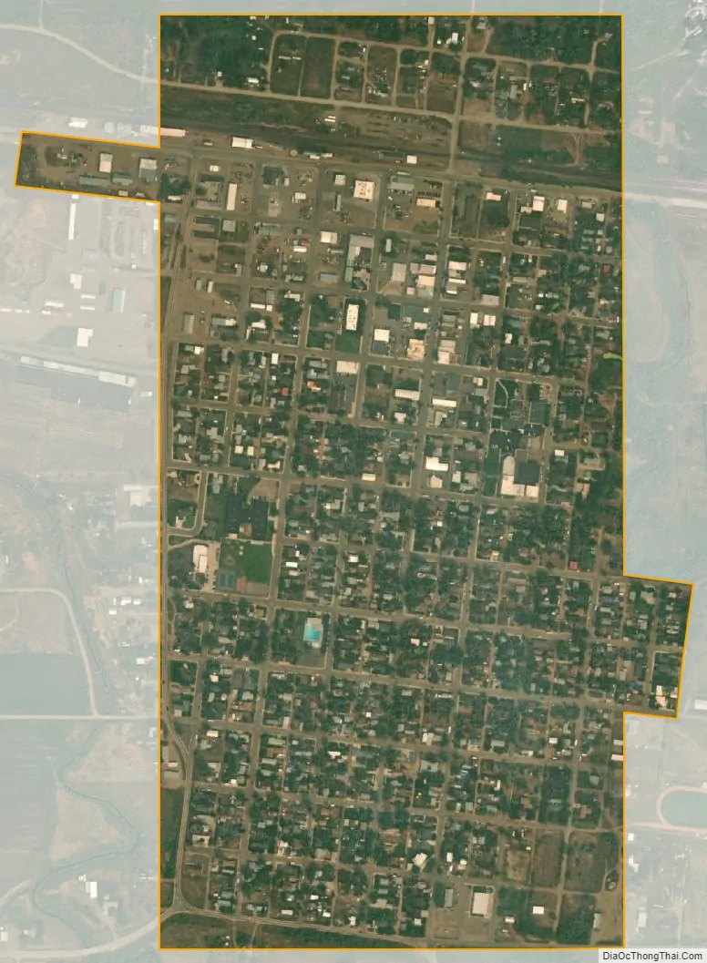
Chinook city Satellite Map
Geography
Chinook is located at 48°35′N 109°14′W / 48.583°N 109.233°W / 48.583; -109.233 (48.5894, -109.2321). U.S. Route 2 cuts through town. Chinook is located on Lodge Creek, where it empties into the Milk River, which flows south of town.
According to the United States Census Bureau, the city has a total area of 0.51 square miles (1.32 km), all land.
See also
Map of Montana State and its subdivision:- Beaverhead
- Big Horn
- Blaine
- Broadwater
- Carbon
- Carter
- Cascade
- Chouteau
- Custer
- Daniels
- Dawson
- Deer Lodge
- Fallon
- Fergus
- Flathead
- Gallatin
- Garfield
- Glacier
- Golden Valley
- Granite
- Hill
- Jefferson
- Judith Basin
- Lake
- Lewis and Clark
- Liberty
- Lincoln
- Madison
- McCone
- Meagher
- Mineral
- Missoula
- Musselshell
- Park
- Petroleum
- Phillips
- Pondera
- Powder River
- Powell
- Prairie
- Ravalli
- Richland
- Roosevelt
- Rosebud
- Sanders
- Sheridan
- Silver Bow
- Stillwater
- Sweet Grass
- Teton
- Toole
- Treasure
- Valley
- Wheatland
- Wibaux
- Yellowstone
- Alabama
- Alaska
- Arizona
- Arkansas
- California
- Colorado
- Connecticut
- Delaware
- District of Columbia
- Florida
- Georgia
- Hawaii
- Idaho
- Illinois
- Indiana
- Iowa
- Kansas
- Kentucky
- Louisiana
- Maine
- Maryland
- Massachusetts
- Michigan
- Minnesota
- Mississippi
- Missouri
- Montana
- Nebraska
- Nevada
- New Hampshire
- New Jersey
- New Mexico
- New York
- North Carolina
- North Dakota
- Ohio
- Oklahoma
- Oregon
- Pennsylvania
- Rhode Island
- South Carolina
- South Dakota
- Tennessee
- Texas
- Utah
- Vermont
- Virginia
- Washington
- West Virginia
- Wisconsin
- Wyoming