Calhoun County is a county in the U.S. state of West Virginia. As of the 2020 census, the population was 6,229, making it the third-least populous county in West Virginia. Its county seat is Grantsville. The county was founded in 1856 and named for South Carolina politician John C. Calhoun.
| Name: | Calhoun County |
|---|---|
| FIPS code: | 54-013 |
| State: | West Virginia |
| Founded: | March 5, 1856 |
| Named for: | John C. Calhoun |
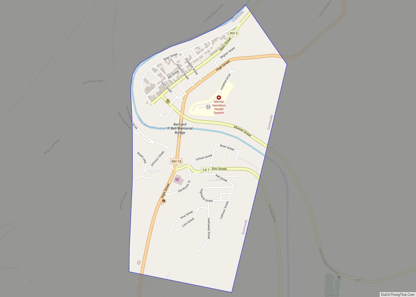
| Seat: | Grantsville |
| Largest town: | Grantsville |
| Total Area: | 281 sq mi (730 km²) |
| Land Area: | 279 sq mi (720 km²) |
| Total Population: | 6,229 |
| Population Density: | 22/sq mi (8.6/km²) |
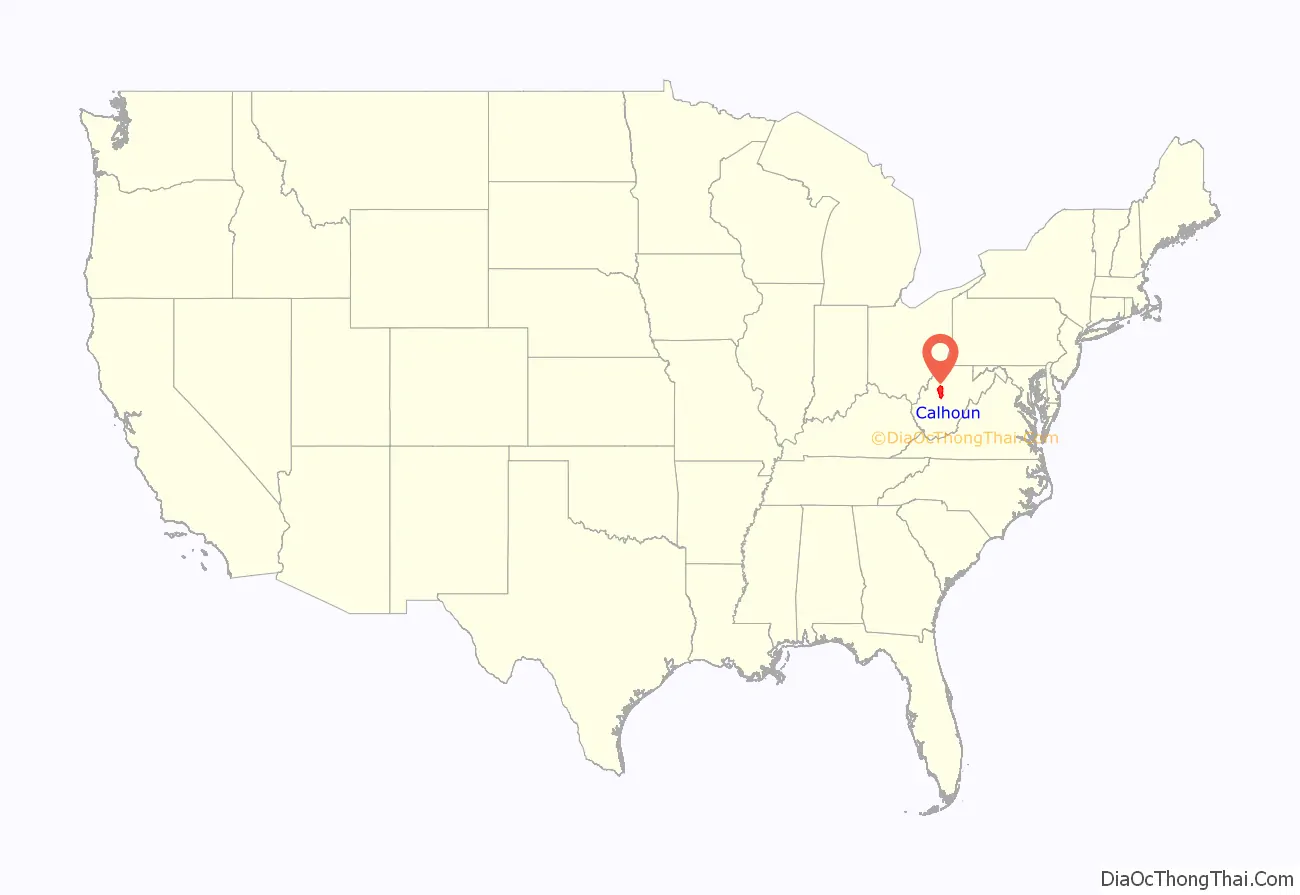
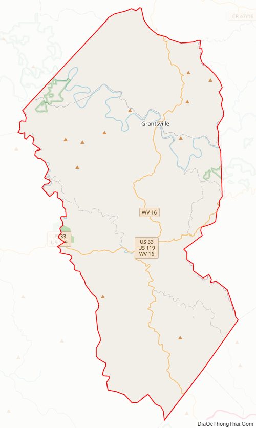
Calhoun County location map. Where is Calhoun County?
Calhoun County Road Map
Geography
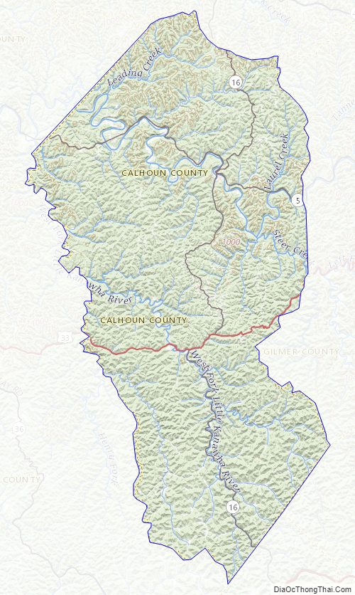
According to the United States Census Bureau, the county has a total area of 281 square miles (730 km), of which 279 square miles (720 km) is land and 1.4 square miles (3.6 km) (0.5%) is water.
In 1863, West Virginia’s counties were divided into civil townships, with the intention of encouraging local government. This proved impractical in the heavily rural state, and in 1872 the townships were converted into magisterial districts. Calhoun County was divided into five districts: Centre, Lee, Sheridan, Sherman, and Washington. Between 1980 and 1990, the county was reorganized into five new magisterial districts: District 1, District 2, District 3, District 4, and District 5.
Major highways
- U.S. Highway 33/U.S. Highway 119
- West Virginia Route 5
- West Virginia Route 16
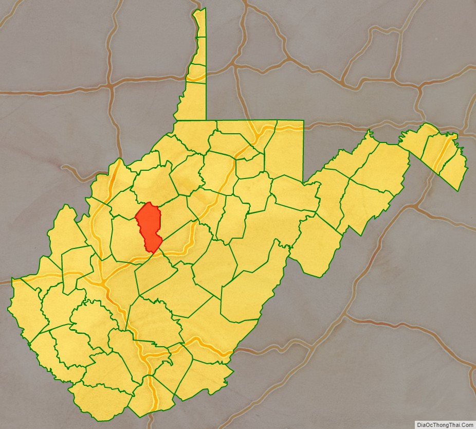
Adjacent counties
- Ritchie County (north)
- Gilmer County (east)
- Braxton County (southeast)
- Clay County (south)
- Roane County (west)
- Wirt County (northwest)
Calhoun County Topographic Map
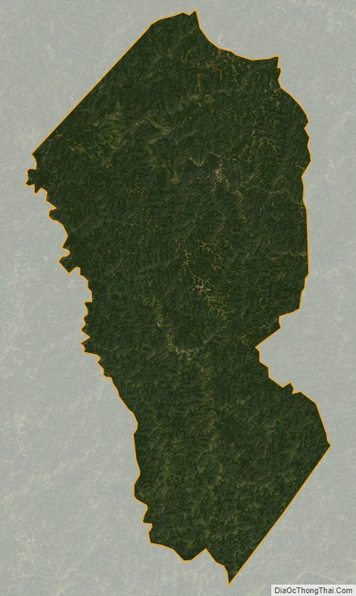
Calhoun County Satellite Map
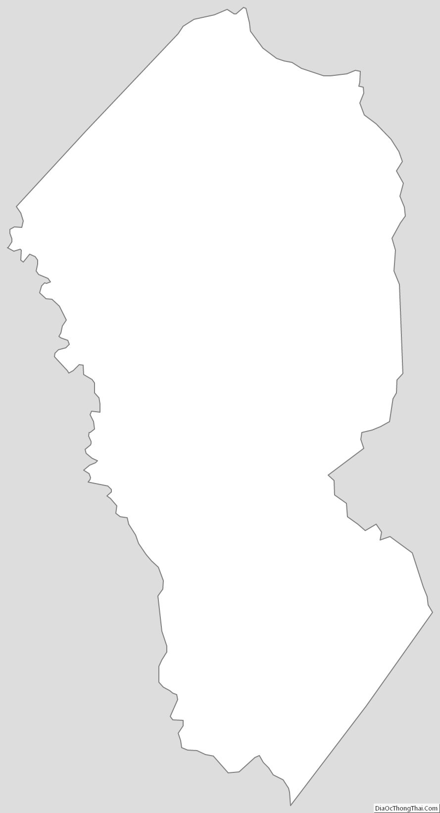
Calhoun County Outline Map