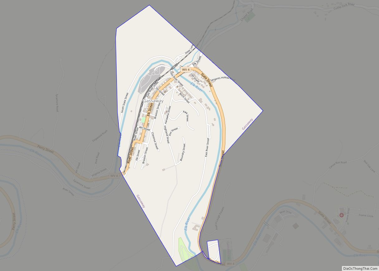
Gassaway is a town in Braxton County, West Virginia, United States. The population was 769 at the 2020 census. Gassaway was incorporated in 1905 and named for Henry Gassaway Davis, the Democratic Party’s nominee for Vice President of the United States in 1904. The center of population of West Virginia is located approximately 7 miles (11 km) north of Gassaway.
| Name: | Gassaway town |
|---|---|
| LSAD Code: | 43 |
| LSAD Description: | town (suffix) |
| State: | West Virginia |
| County: | Braxton County |
| Elevation: | 860 ft (262 m) |
| Total Area: | 1.22 sq mi (3.15 km²) |
| Land Area: | 1.16 sq mi (2.99 km²) |
| Water Area: | 0.06 sq mi (0.16 km²) |
| Total Population: | 769 |
| Population Density: | 732.47/sq mi (282.77/km²) |
| ZIP code: | 26624 |
| Area code: | 304 |
| FIPS code: | 5430220 |
| GNISfeature ID: | 1539355 |
Online Interactive Map
Click on ![]() to view map in "full screen" mode.
to view map in "full screen" mode.
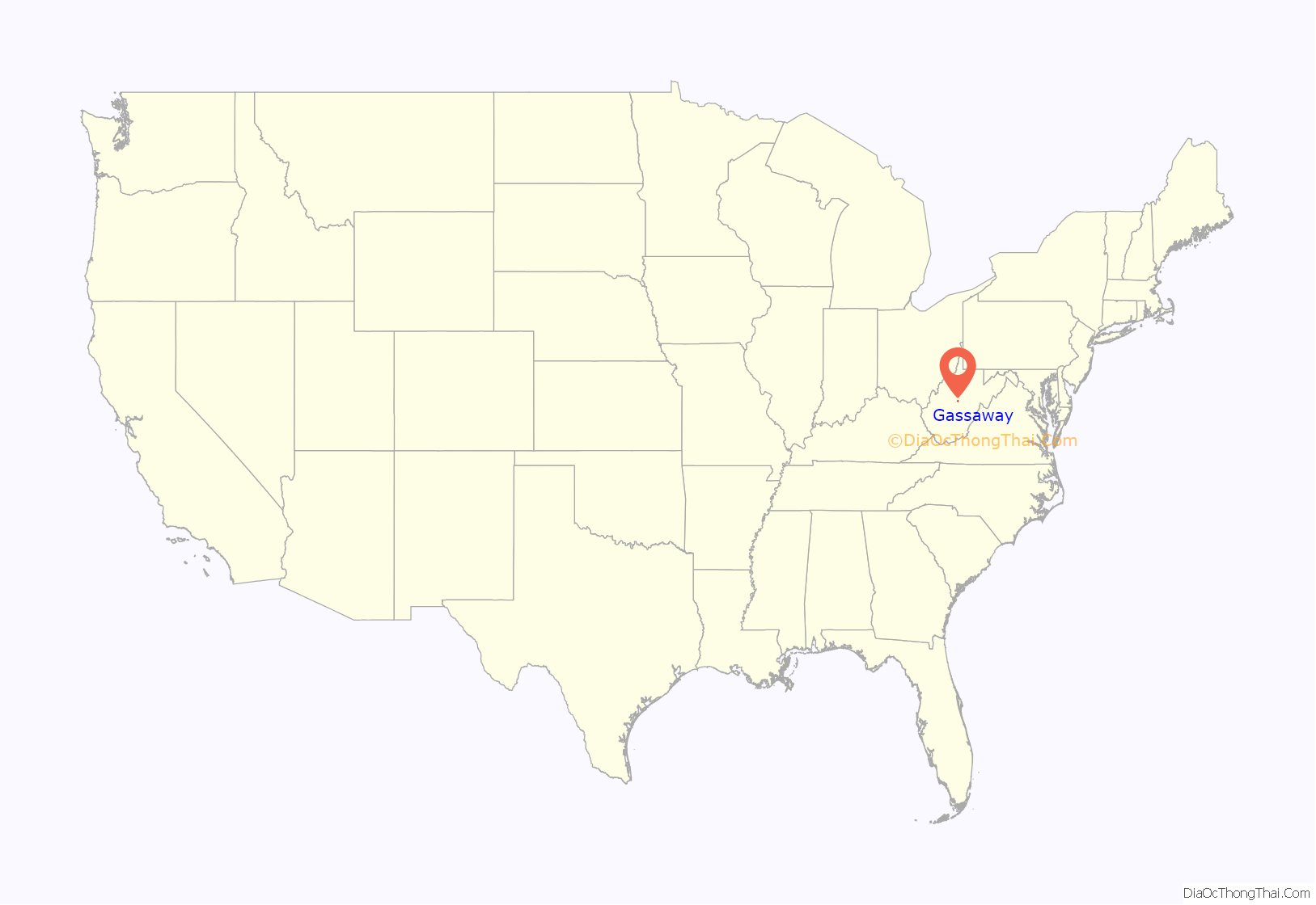
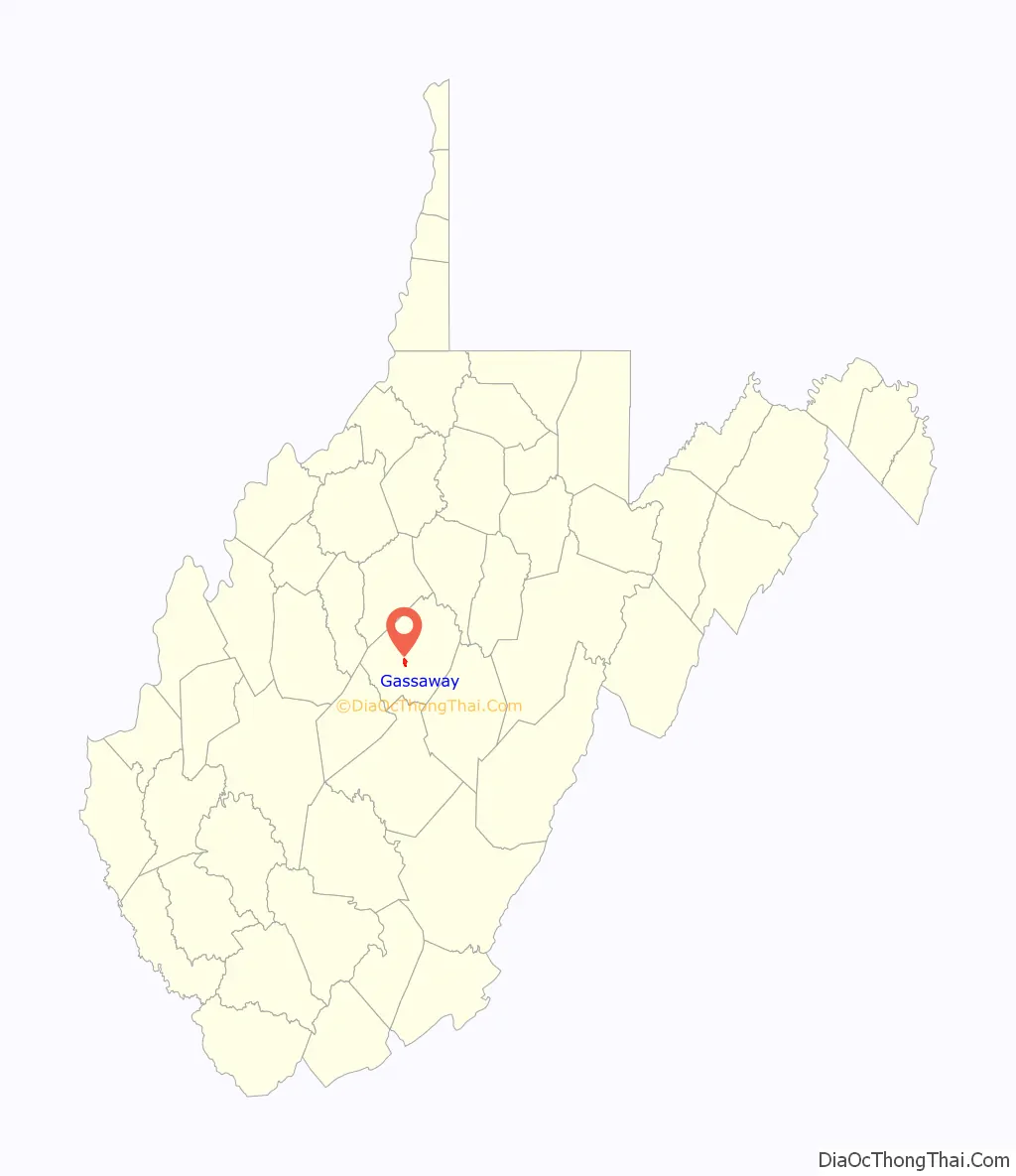
Gassaway location map. Where is Gassaway town?
History
The town was originally created at the ends of two divisions of the Coal and Coke Railway, one originating in Charleston and the other originating in Elkins. Because of its central location, the area was an ideal place to build shops to facilitate the transition between the relatively flat Charleston division, which could operate with standard equipment, and the more hilly Elkins division of the Coal & Coke which required heavier engines. The town was laid out in 1904, and over the next decade, businesses and infrastructure such as hotels, a bank, stores, schools, a hospital, office buildings and churches appeared to serve the growing population. By 1915, the Coal & Coke Railway Company had completed work on a depot to facilitate passenger service to the town. The Gassaway Depot still stands today and was listed on the National Register of Historic Places in 1994.
Gassaway Road Map

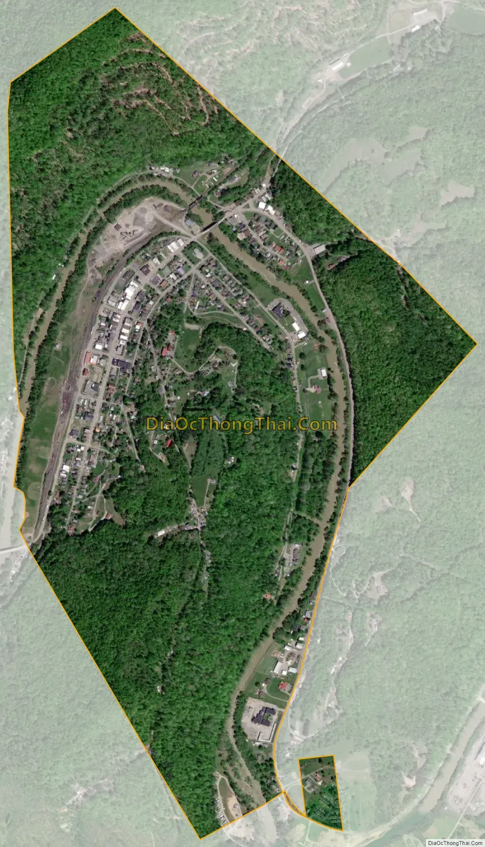
Gassaway city Satellite Map
Geography
Gassaway is located at 38°40′15″N 80°46′13″W / 38.67083°N 80.77028°W / 38.67083; -80.77028 (38.670712, -80.770413), along the Elk River.
According to the United States Census Bureau, the town has a total area of 1.22 square miles (3.16 km), of which 1.16 square miles (3.00 km) is land and 0.06 square miles (0.16 km) is water.
See also
Map of West Virginia State and its subdivision:- Barbour
- Berkeley
- Boone
- Braxton
- Brooke
- Cabell
- Calhoun
- Clay
- Doddridge
- Fayette
- Gilmer
- Grant
- Greenbrier
- Hampshire
- Hancock
- Hardy
- Harrison
- Jackson
- Jefferson
- Kanawha
- Lewis
- Lincoln
- Logan
- Marion
- Marshall
- Mason
- McDowell
- Mercer
- Mineral
- Mingo
- Monongalia
- Monroe
- Morgan
- Nicholas
- Ohio
- Pendleton
- Pleasants
- Pocahontas
- Preston
- Putnam
- Raleigh
- Randolph
- Ritchie
- Roane
- Summers
- Taylor
- Tucker
- Tyler
- Upshur
- Wayne
- Webster
- Wetzel
- Wirt
- Wood
- Wyoming
- Alabama
- Alaska
- Arizona
- Arkansas
- California
- Colorado
- Connecticut
- Delaware
- District of Columbia
- Florida
- Georgia
- Hawaii
- Idaho
- Illinois
- Indiana
- Iowa
- Kansas
- Kentucky
- Louisiana
- Maine
- Maryland
- Massachusetts
- Michigan
- Minnesota
- Mississippi
- Missouri
- Montana
- Nebraska
- Nevada
- New Hampshire
- New Jersey
- New Mexico
- New York
- North Carolina
- North Dakota
- Ohio
- Oklahoma
- Oregon
- Pennsylvania
- Rhode Island
- South Carolina
- South Dakota
- Tennessee
- Texas
- Utah
- Vermont
- Virginia
- Washington
- West Virginia
- Wisconsin
- Wyoming