West Columbia is a city in Brazoria County in the U.S. state of Texas. The city is centered on the intersection of Texas Highways 35 & 36, 55 miles (89 km) southwest of downtown Houston. The population was 3,644 at the 2020 census.
The 1st Congress of the Republic of Texas was convened in West Columbia on October 3, 1836. (It was then named simply Columbia.)
| Name: | West Columbia city |
|---|---|
| LSAD Code: | 25 |
| LSAD Description: | city (suffix) |
| State: | Texas |
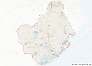
| County: | Brazoria County |
| Elevation: | 36 ft (11 m) |
| Total Area: | 2.63 sq mi (6.80 km²) |
| Land Area: | 2.61 sq mi (6.75 km²) |
| Water Area: | 0.02 sq mi (0.04 km²) |
| Total Population: | 3,644 |
| Population Density: | 1,468.56/sq mi (567.04/km²) |
| ZIP code: | 77486 |
| Area code: | 979 |
| FIPS code: | 4877416 |
| GNISfeature ID: | 1371096 |
| Website: | westcolumbiatx.org |
Online Interactive Map
Click on ![]() to view map in "full screen" mode.
to view map in "full screen" mode.
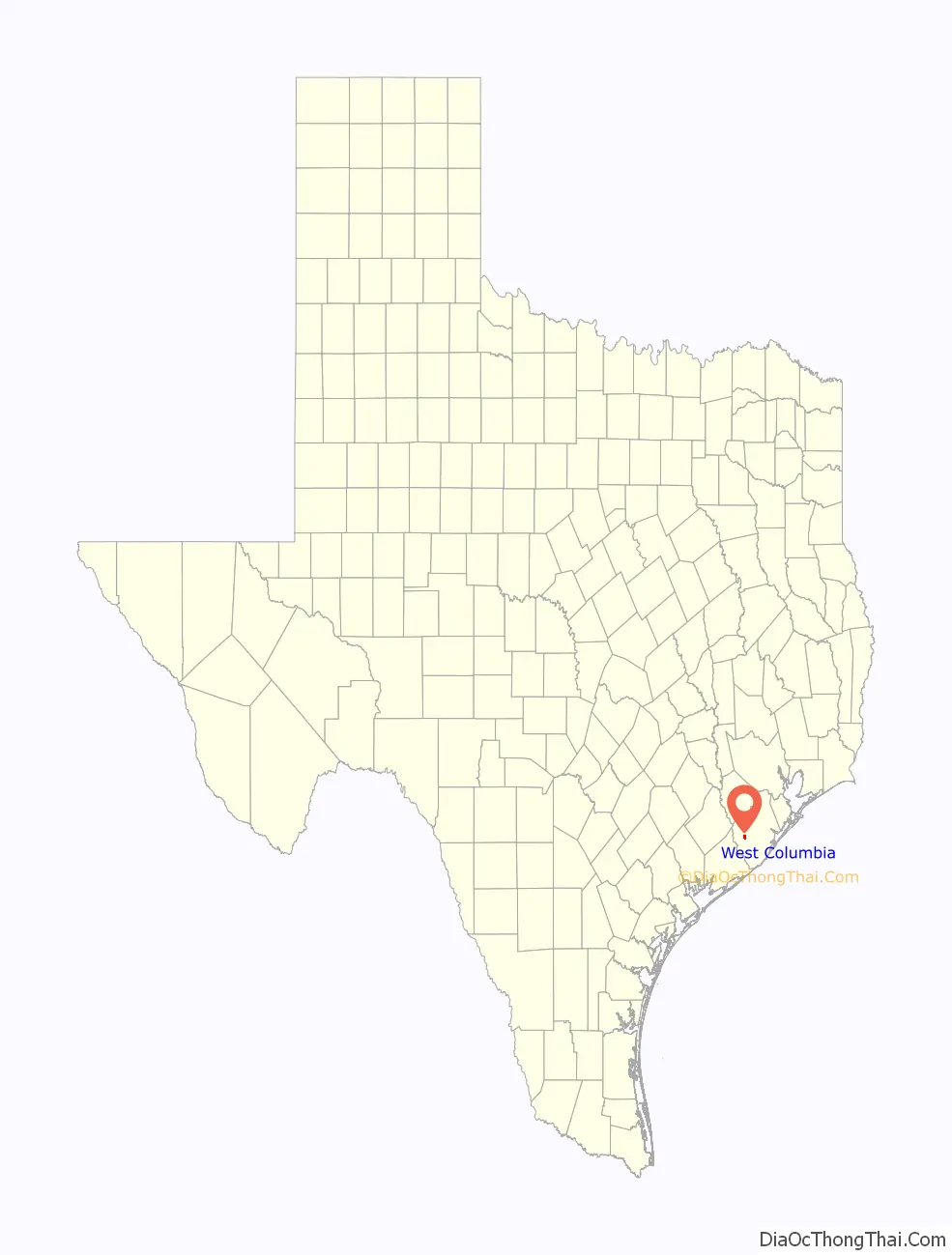
West Columbia location map. Where is West Columbia city?

History
Columbia was established in 1826 by Josiah Hughes Bell when the town was laid out two miles west of Marion, later known as East Columbia. Columbia was briefly the capital of the Republic of Texas from September to December 1836. The town hosted the First Congress of the Republic of Texas when Sam Houston became president on October 22, 1836. The House of Representatives and Senate each met in private homes. The First Congress voted to move the capital to Houston on November 30 because Columbia lacked living quarters for government officials. On December 27, 1836, Stephen F. Austin died at the home of George B. McKinstry in Columbia.
The town, which became known as West Columbia, saw its commerce decline after the government moved away. A post office was set up in 1905. When oil was discovered in the West Columbia oil field in 1918, the town became a center for cotton, oil, rice and sulphur. By 1928, the town’s population rose to 2,500, but the ill-effects of the Great Depression caused the number of residents to fall to about 1,000. In 1940 there were 1,573 persons living in West Columbia and 50 businesses. During the 1950s, the population increased to 2,100. By the 1960s big oil companies had a considerable presence near town and the area boasted the most cattle in the state. In 1960 West Columbia had 2,947 residents, in 1970 it had 3,335 and in 1990 it had 4,372. In the next two decades the population dipped slightly. Varner-Hogg Plantation State Historic Site is near West Columbia.
Stephen F. Austin death place on County 467
Charlie Brown state historic marker on Brazos Ave.
Veterans War Memorial at the American Legion Post
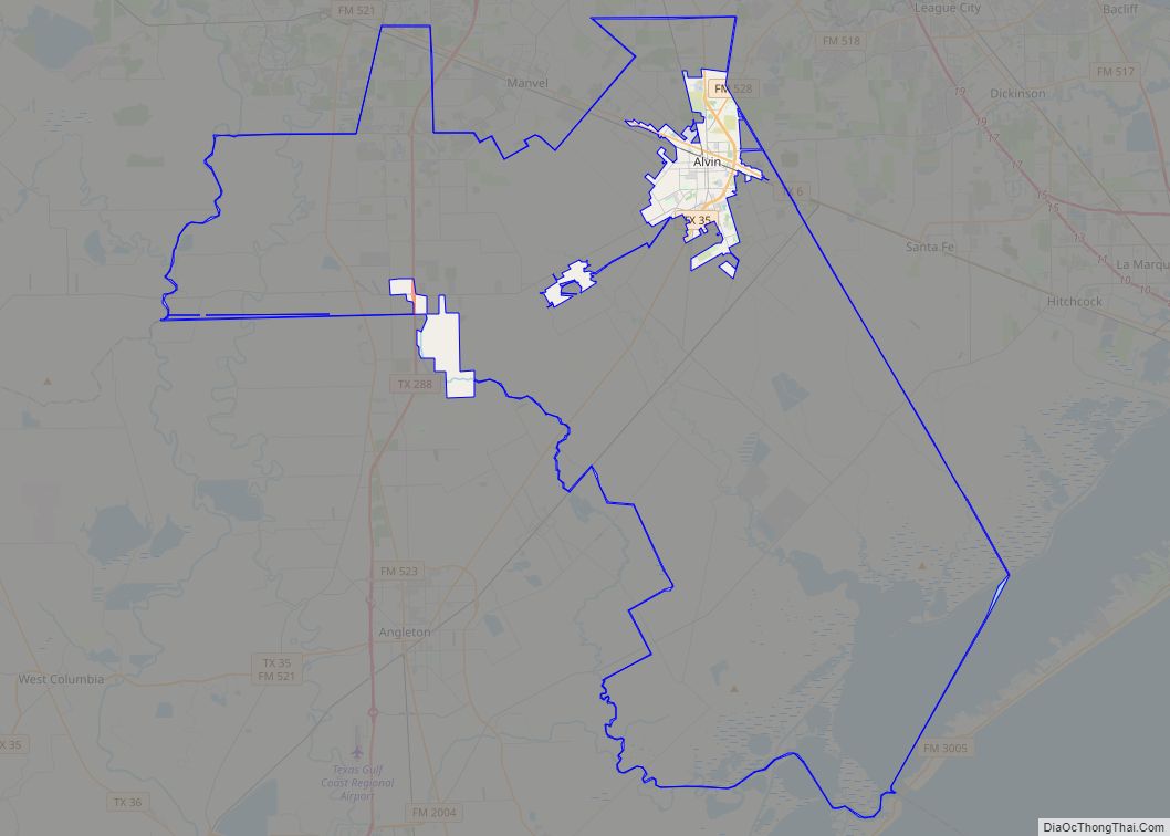
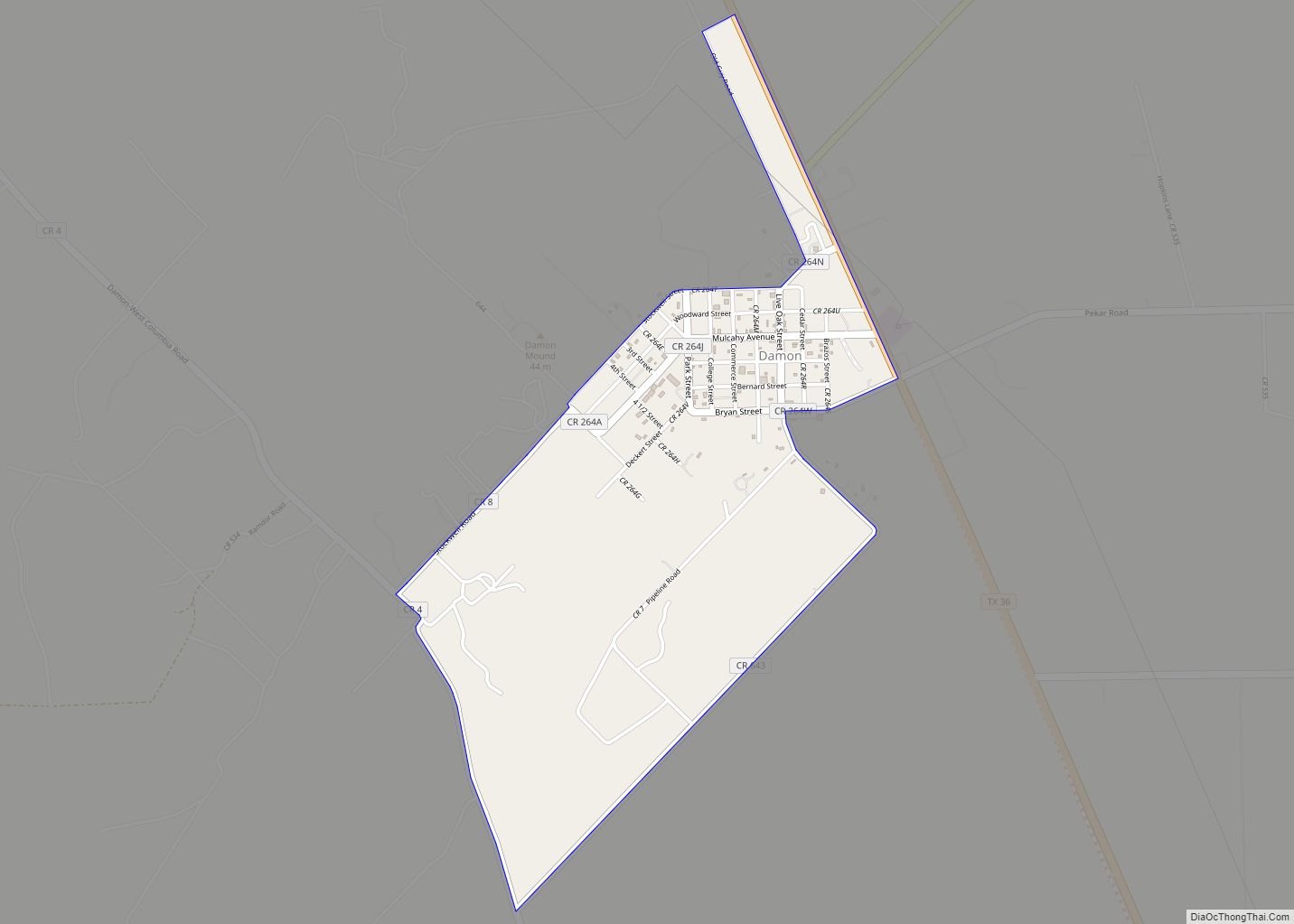
West Columbia Road Map

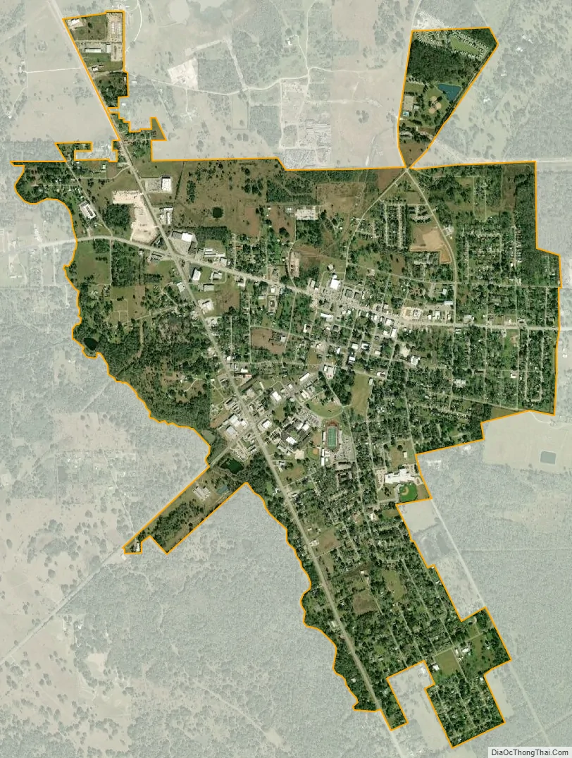
West Columbia city Satellite Map
Geography
West Columbia is located in western Brazoria County at 29°8′29″N 95°38′49″W / 29.14139°N 95.64694°W / 29.14139; -95.64694 (29.141513, –95.647016), about 2 miles (3 km) west of the Brazos River. Texas State Highway 35 leads east 13 miles (21 km) to Angleton, the county seat, and southwest 23 miles (37 km) to Bay City. Texas Highway 36 leads north 32 miles (51 km) to Rosenberg and southeast 23 miles (37 km) to Freeport on the Gulf of Mexico.
According to the United States Census Bureau, West Columbia has a total area of 2.6 square miles (6.7 km), of which 0.02 square miles (0.04 km), or 0.67%, is water.
See also
Map of Texas State and its subdivision:- Anderson
- Andrews
- Angelina
- Aransas
- Archer
- Armstrong
- Atascosa
- Austin
- Bailey
- Bandera
- Bastrop
- Baylor
- Bee
- Bell
- Bexar
- Blanco
- Borden
- Bosque
- Bowie
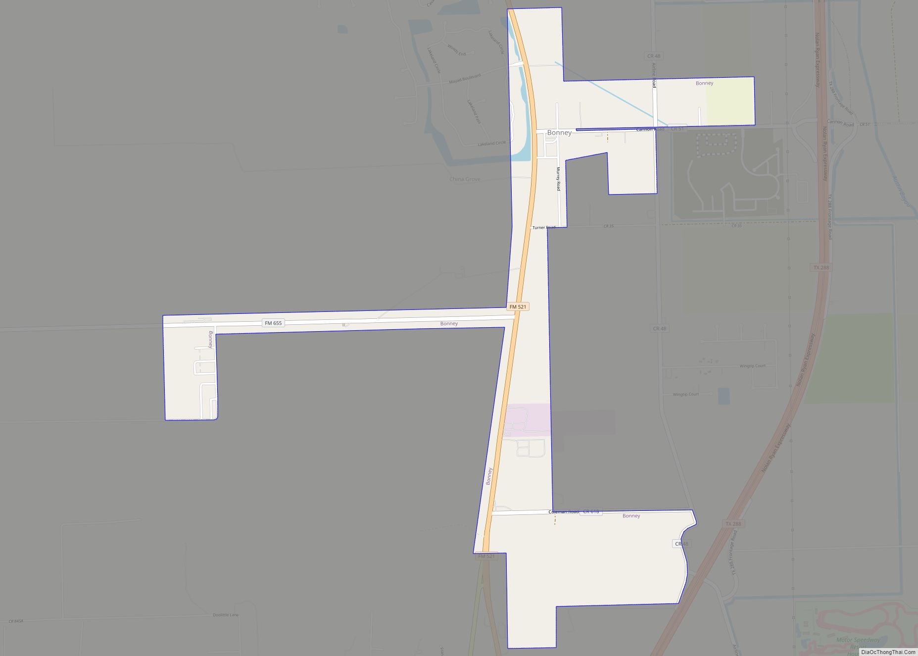
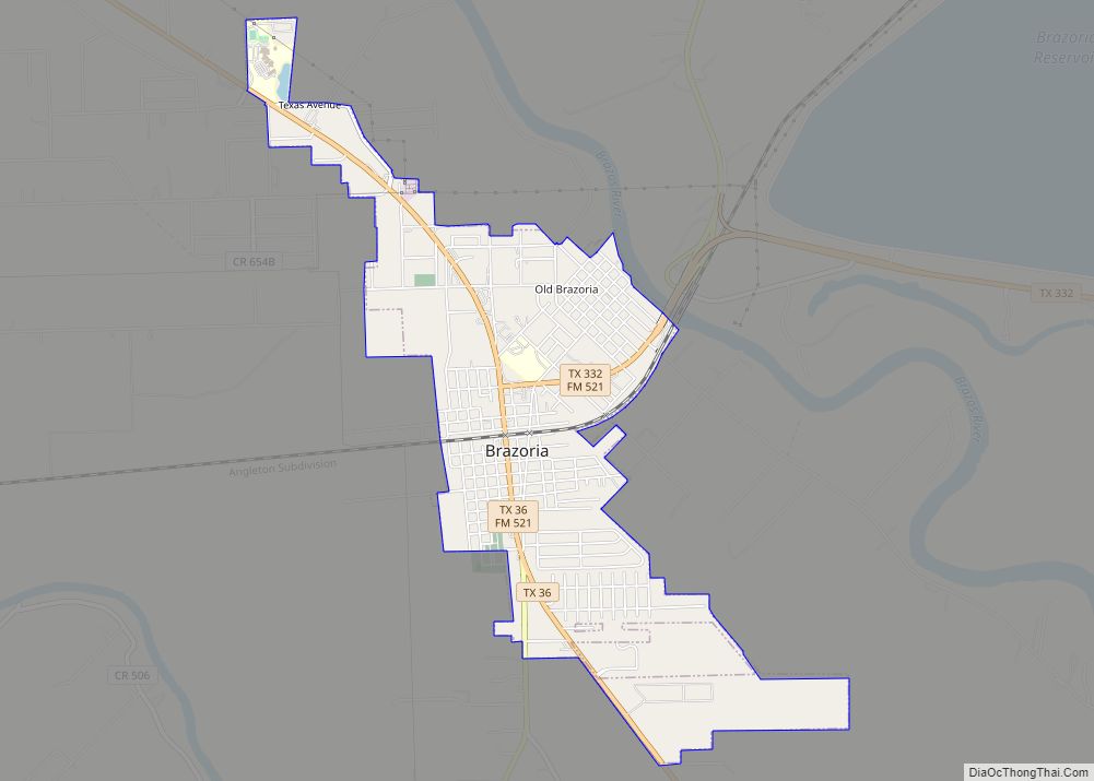
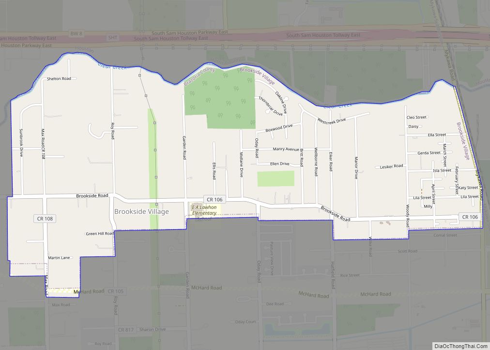
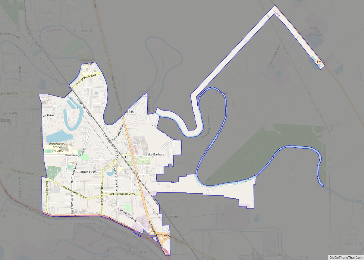
- Brazoria
- Brazos
- Brewster
- Briscoe
- Brooks
- Brown
- Burleson
- Burnet
- Caldwell
- Calhoun
- Callahan
- Cameron
- Camp
- Carson
- Cass
- Castro
- Chambers
- Cherokee
- Childress
- Clay
- Cochran
- Coke
- Coleman
- Collin
- Collingsworth
- Colorado
- Comal
- Comanche
- Concho
- Cooke
- Coryell
- Cottle
- Crane
- Crockett
- Crosby
- Culberson
- Dallam
- Dallas
- Dawson
- Deaf Smith
- Delta
- Denton
- Dewitt
- Dickens
- Dimmit
- Donley
- Duval
- Eastland
- Ector
- Edwards
- El Paso
- Ellis
- Erath
- Falls
- Fannin
- Fayette
- Fisher
- Floyd
- Foard
- Fort Bend
- Franklin
- Freestone
- Frio
- Gaines
- Galveston
- Garza
- Gillespie
- Glasscock
- Goliad
- Gonzales
- Gray
- Grayson
- Gregg
- Grimes
- Guadalupe
- Hale
- Hall
- Hamilton
- Hansford
- Hardeman
- Hardin
- Harris
- Harrison
- Hartley
- Haskell
- Hays
- Hemphill
- Henderson
- Hidalgo
- Hill
- Hockley
- Hood
- Hopkins
- Houston
- Howard
- Hudspeth
- Hunt
- Hutchinson
- Irion
- Jack
- Jackson
- Jasper
- Jeff Davis
- Jefferson
- Jim Hogg
- Jim Wells
- Johnson
- Jones
- Karnes
- Kaufman
- Kendall
- Kenedy
- Kent
- Kerr
- Kimble
- King
- Kinney
- Kleberg
- Knox
- La Salle
- Lamar
- Lamb
- Lampasas
- Lavaca
- Lee
- Leon
- Liberty
- Limestone
- Lipscomb
- Live Oak
- Llano
- Loving
- Lubbock
- Lynn
- Madison
- Marion
- Martin
- Mason
- Matagorda
- Maverick
- McCulloch
- McLennan
- McMullen
- Medina
- Menard
- Midland
- Milam
- Mills
- Mitchell
- Montague
- Montgomery
- Moore
- Morris
- Motley
- Nacogdoches
- Navarro
- Newton
- Nolan
- Nueces
- Ochiltree
- Oldham
- Orange
- Palo Pinto
- Panola
- Parker
- Parmer
- Pecos
- Polk
- Potter
- Presidio
- Rains
- Randall
- Reagan
- Real
- Red River
- Reeves
- Refugio
- Roberts
- Robertson
- Rockwall
- Runnels
- Rusk
- Sabine
- San Augustine
- San Jacinto
- San Patricio
- San Saba
- Schleicher
- Scurry
- Shackelford
- Shelby
- Sherman
- Smith
- Somervell
- Starr
- Stephens
- Sterling
- Stonewall
- Sutton
- Swisher
- Tarrant
- Taylor
- Terrell
- Terry
- Throckmorton
- Titus
- Tom Green
- Travis
- Trinity
- Tyler
- Upshur
- Upton
- Uvalde
- Val Verde
- Van Zandt
- Victoria
- Walker
- Waller
- Ward
- Washington
- Webb
- Wharton
- Wheeler
- Wichita
- Wilbarger
- Willacy
- Williamson
- Wilson
- Winkler
- Wise
- Wood
- Yoakum
- Young
- Zapata
- Zavala
- Alabama
- Alaska
- Arizona
- Arkansas
- California
- Colorado
- Connecticut
- Delaware
- District of Columbia
- Florida
- Georgia
- Hawaii
- Idaho
- Illinois
- Indiana
- Iowa
- Kansas
- Kentucky
- Louisiana
- Maine
- Maryland
- Massachusetts
- Michigan
- Minnesota
- Mississippi
- Missouri
- Montana
- Nebraska
- Nevada
- New Hampshire
- New Jersey
- New Mexico
- New York
- North Carolina
- North Dakota
- Ohio
- Oklahoma
- Oregon
- Pennsylvania
- Rhode Island
- South Carolina
- South Dakota
- Tennessee
- Texas
- Utah
- Vermont
- Virginia
- Washington
- West Virginia
- Wisconsin
- Wyoming