Jones Creek is a village in Brazoria County, Texas, United States. The population was 2,020 at the 2010 census. It is the first location in Texas where Stephen F. Austin settled.
| Name: | Jones Creek village |
|---|---|
| LSAD Code: | 47 |
| LSAD Description: | village (suffix) |
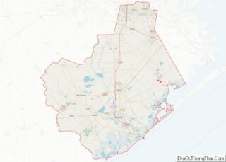
| State: | Texas |
| County: | Brazoria County |
| Elevation: | 13 ft (4 m) |
| Total Area: | 2.54 sq mi (6.58 km²) |
| Land Area: | 2.53 sq mi (6.54 km²) |
| Water Area: | 0.01 sq mi (0.03 km²) |
| Total Population: | 2,020 |
| Population Density: | 822.25/sq mi (317.51/km²) |
| ZIP code: | 77541 |
| Area code: | 979 |
| FIPS code: | 4837984 |
| GNISfeature ID: | 1360387 |
| Website: | www.villageofjonescreektexas.com |
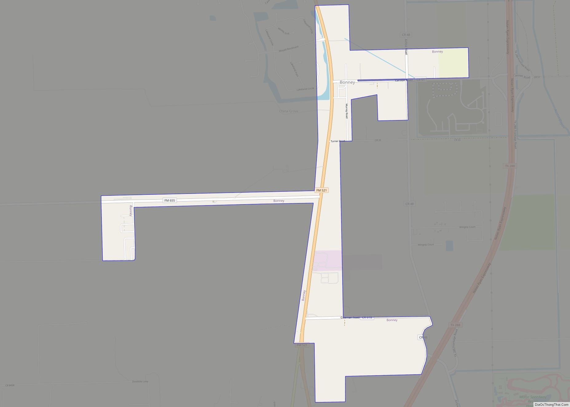
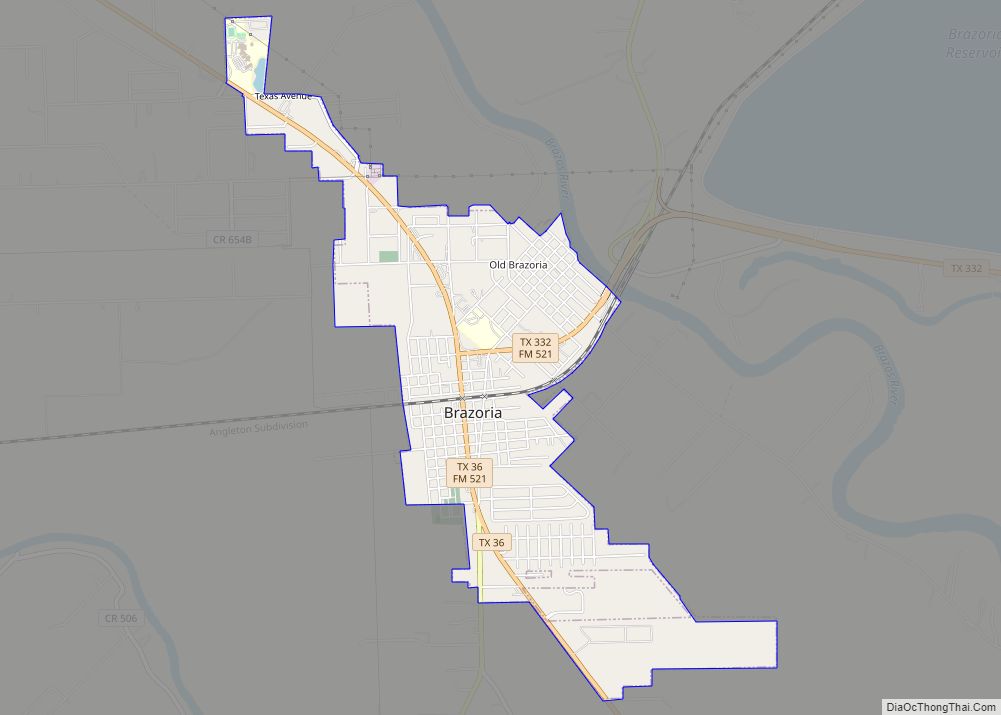
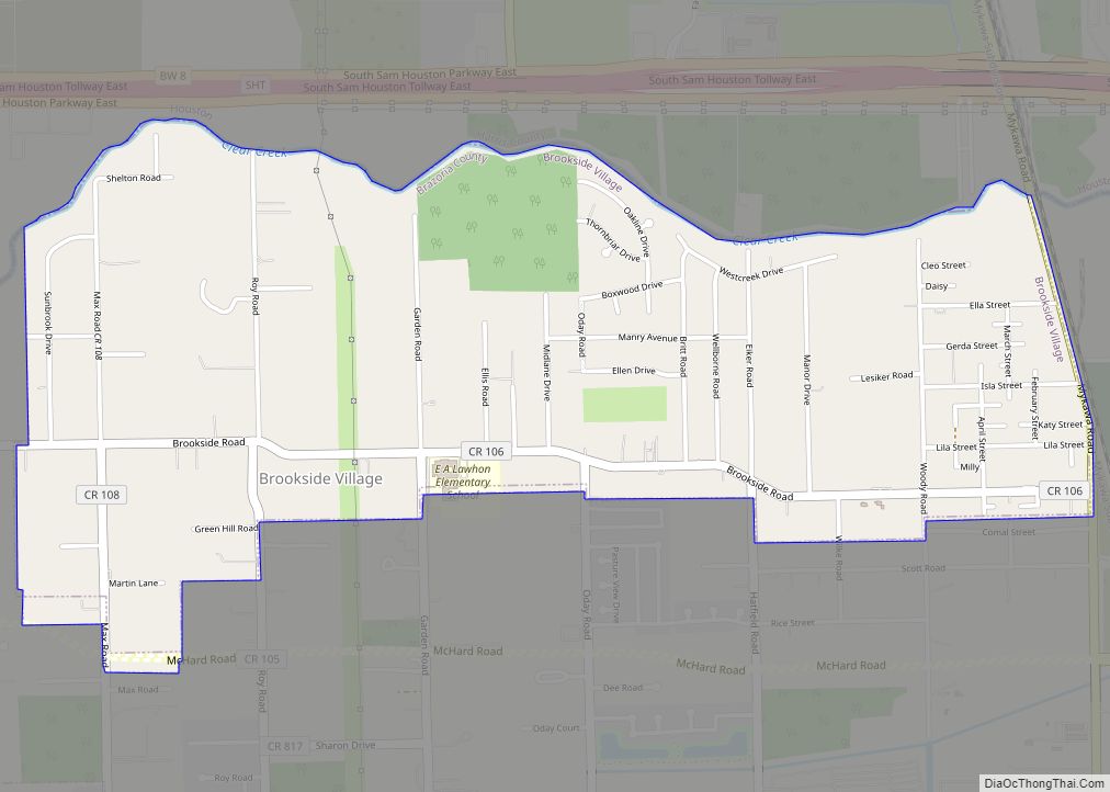
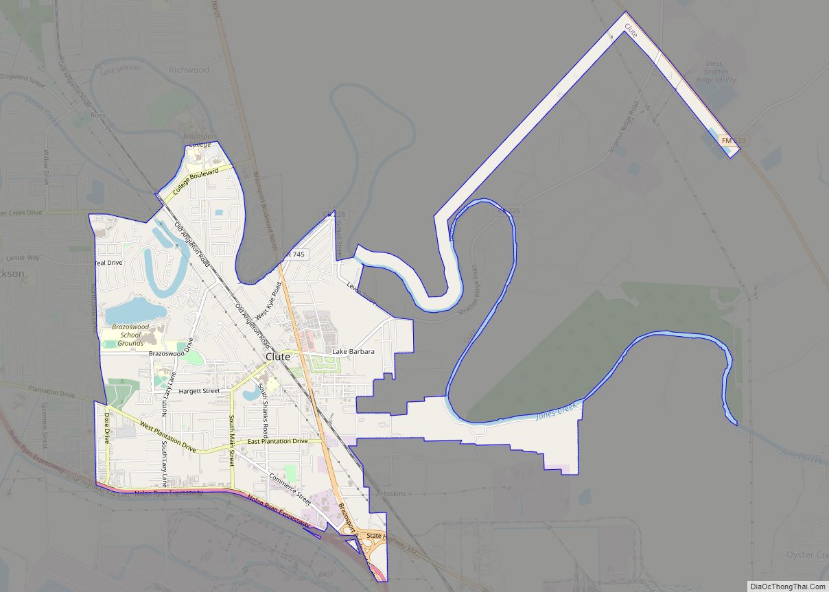
Online Interactive Map
Click on ![]() to view map in "full screen" mode.
to view map in "full screen" mode.
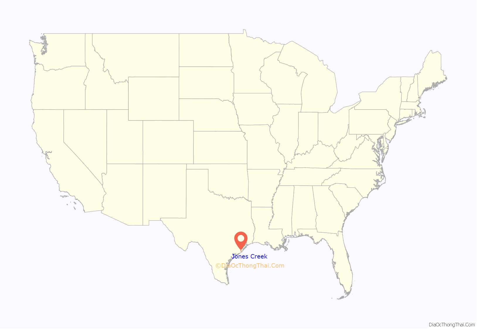
Jones Creek location map. Where is Jones Creek village?

History
The Father of Texas, Stephen F. Austin, first settled in Jones Creek. His original grave resides in the Gulf Prairie Cemetery located on Gulf Prairie Road in Jones Creek. Emily Austin Perry (Stephen F. Austin’s sister) and her second husband, James Franklin Perry settled in Jones Creek too at the now historic Peach Point Plantation. Jones Creek is named for Randal Jones, a military leader of early lower Brazos Anglo colonists. Jones led the June 22, 1824, attack on a group of Karankawa Indians on the banks of a certain small stream of water in the lower Brazos region. Afterwards this particular creek near the San Bernard River became associated with the name “Jones”, and the event was noted in history as the Battle of Jones Creek. Thereafter, the area around the creek became described as Jones Creek too.
There are Recorded Historic Texas Landmarks in Jones Creek for each of the following:
- Major Reuben R. Brown
- Battle of Jones Creek
- Major Guy M. Bryan
- William Joel Bryan
- Major James Peckham Caldwell
- Ellerslie Plantation
- Gulf Prairie
- Henry William Munson
- Peach Point
- Little Old House at Peach Point
- Emily Margaret Brown Austin Bryan Perry
- James Franklin Perry
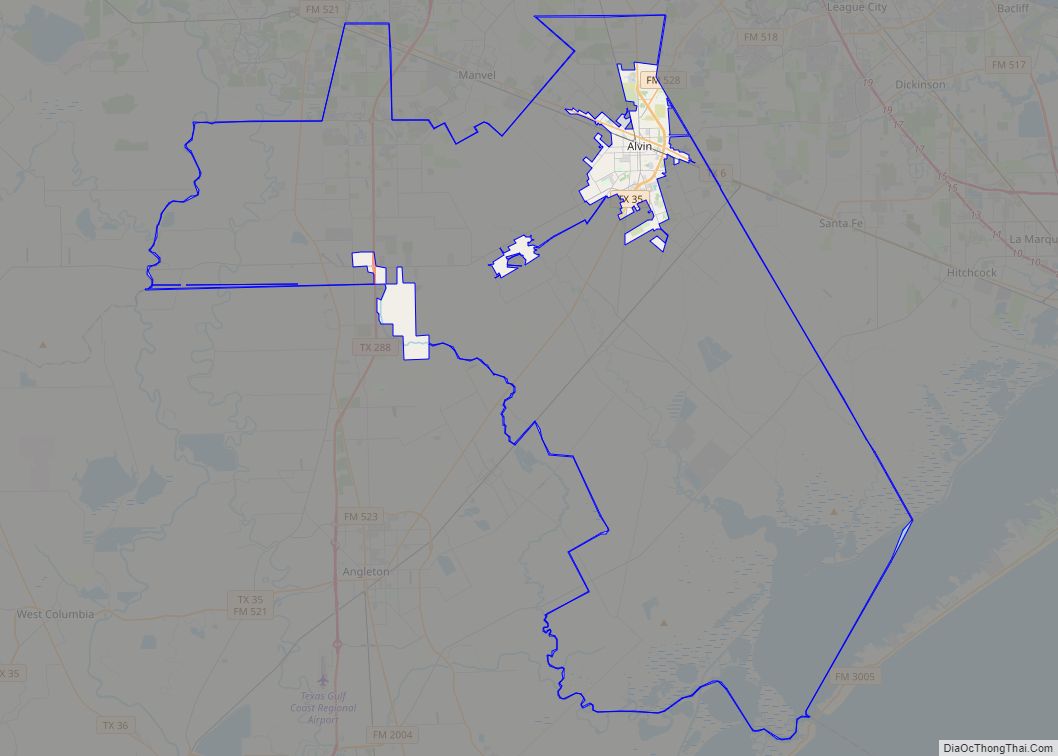
Jones Creek Road Map
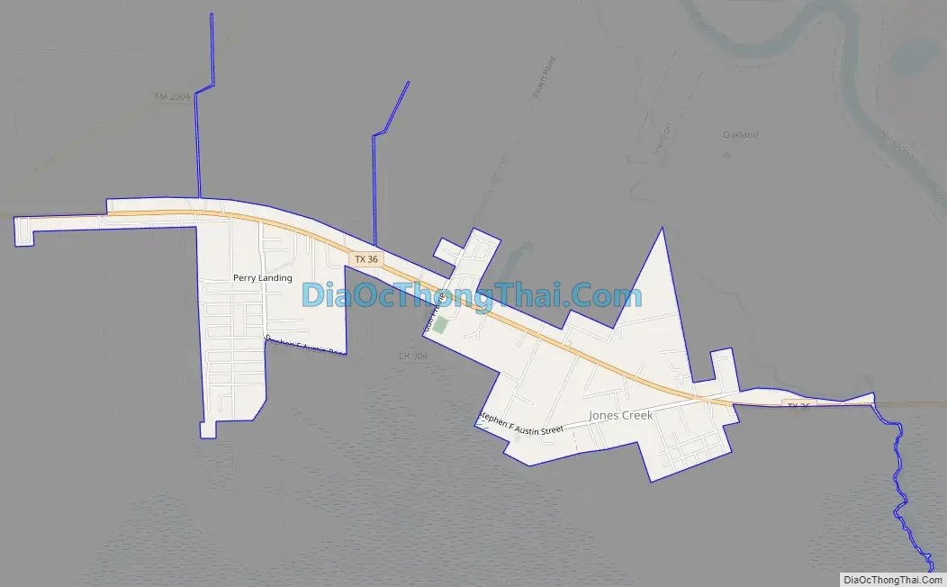
Jones Creek city Satellite Map
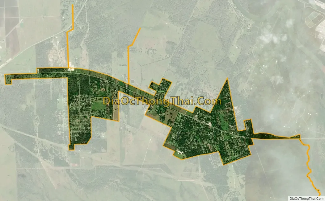
Geography
Jones Creek is located in southern Brazoria County at 28°58′45″N 95°28′33″W / 28.979252°N 95.475760°W / 28.979252; -95.475760. Texas State Highway 36 runs through the community, leading east 6 miles (10 km) to Freeport and northwest 9 miles (14 km) to Brazoria.
According to the United States Census Bureau, the village has a total area of 2.6 square miles (6.8 km), of which 2.6 square miles (6.7 km) is land and 0.039 square miles (0.1 km), or 1.61%, is water.
Notable parts of Jones Creek include: Perry’s Landing (also known as Perry Landing), Peach Point, Peach Crest, and Gulf Park.
See also
Map of Texas State and its subdivision:- Anderson
- Andrews
- Angelina
- Aransas
- Archer
- Armstrong
- Atascosa
- Austin
- Bailey
- Bandera
- Bastrop
- Baylor
- Bee
- Bell
- Bexar
- Blanco
- Borden
- Bosque
- Bowie
- Brazoria
- Brazos
- Brewster
- Briscoe
- Brooks
- Brown
- Burleson
- Burnet
- Caldwell
- Calhoun
- Callahan
- Cameron
- Camp
- Carson
- Cass
- Castro
- Chambers
- Cherokee
- Childress
- Clay
- Cochran
- Coke
- Coleman
- Collin
- Collingsworth
- Colorado
- Comal
- Comanche
- Concho
- Cooke
- Coryell
- Cottle
- Crane
- Crockett
- Crosby
- Culberson
- Dallam
- Dallas
- Dawson
- Deaf Smith
- Delta
- Denton
- Dewitt
- Dickens
- Dimmit
- Donley
- Duval
- Eastland
- Ector
- Edwards
- El Paso
- Ellis
- Erath
- Falls
- Fannin
- Fayette
- Fisher
- Floyd
- Foard
- Fort Bend
- Franklin
- Freestone
- Frio
- Gaines
- Galveston
- Garza
- Gillespie
- Glasscock
- Goliad
- Gonzales
- Gray
- Grayson
- Gregg
- Grimes
- Guadalupe
- Hale
- Hall
- Hamilton
- Hansford
- Hardeman
- Hardin
- Harris
- Harrison
- Hartley
- Haskell
- Hays
- Hemphill
- Henderson
- Hidalgo
- Hill
- Hockley
- Hood
- Hopkins
- Houston
- Howard
- Hudspeth
- Hunt
- Hutchinson
- Irion
- Jack
- Jackson
- Jasper
- Jeff Davis
- Jefferson
- Jim Hogg
- Jim Wells
- Johnson
- Jones
- Karnes
- Kaufman
- Kendall
- Kenedy
- Kent
- Kerr
- Kimble
- King
- Kinney
- Kleberg
- Knox
- La Salle
- Lamar
- Lamb
- Lampasas
- Lavaca
- Lee
- Leon
- Liberty
- Limestone
- Lipscomb
- Live Oak
- Llano
- Loving
- Lubbock
- Lynn
- Madison
- Marion
- Martin
- Mason
- Matagorda
- Maverick
- McCulloch
- McLennan
- McMullen
- Medina
- Menard
- Midland
- Milam
- Mills
- Mitchell
- Montague
- Montgomery
- Moore
- Morris
- Motley
- Nacogdoches
- Navarro
- Newton
- Nolan
- Nueces
- Ochiltree
- Oldham
- Orange
- Palo Pinto
- Panola
- Parker
- Parmer
- Pecos
- Polk
- Potter
- Presidio
- Rains
- Randall
- Reagan
- Real
- Red River
- Reeves
- Refugio
- Roberts
- Robertson
- Rockwall
- Runnels
- Rusk
- Sabine
- San Augustine
- San Jacinto
- San Patricio
- San Saba
- Schleicher
- Scurry
- Shackelford
- Shelby
- Sherman
- Smith
- Somervell
- Starr
- Stephens
- Sterling
- Stonewall
- Sutton
- Swisher
- Tarrant
- Taylor
- Terrell
- Terry
- Throckmorton
- Titus
- Tom Green
- Travis
- Trinity
- Tyler
- Upshur
- Upton
- Uvalde
- Val Verde
- Van Zandt
- Victoria
- Walker
- Waller
- Ward
- Washington
- Webb
- Wharton
- Wheeler
- Wichita
- Wilbarger
- Willacy
- Williamson
- Wilson
- Winkler
- Wise
- Wood
- Yoakum
- Young
- Zapata
- Zavala
- Alabama
- Alaska
- Arizona
- Arkansas
- California
- Colorado
- Connecticut
- Delaware
- District of Columbia
- Florida
- Georgia
- Hawaii
- Idaho
- Illinois
- Indiana
- Iowa
- Kansas
- Kentucky
- Louisiana
- Maine
- Maryland
- Massachusetts
- Michigan
- Minnesota
- Mississippi
- Missouri
- Montana
- Nebraska
- Nevada
- New Hampshire
- New Jersey
- New Mexico
- New York
- North Carolina
- North Dakota
- Ohio
- Oklahoma
- Oregon
- Pennsylvania
- Rhode Island
- South Carolina
- South Dakota
- Tennessee
- Texas
- Utah
- Vermont
- Virginia
- Washington
- West Virginia
- Wisconsin
- Wyoming