Pearland (/ˈpɛərlænd/ PEAR-land) is a city in the U.S. state of Texas, within Brazoria County, with portions extending into Fort Bend and Harris counties. The city of Pearland is a principal city within the Houston–The Woodlands–Sugar Land metropolitan statistical area. At the 2020 U.S. census, the city’s population was 125,828, up from a population of 91,252 at the 2010 census. Pearland’s population growth rate from 2000 to 2010 was 142 percent, which ranked Pearland as the 15th-fastest-growing city in the U.S. during that time period, compared to other cities with a population of 10,000 or greater in 2000. Pearland is the third-largest city in the Greater Houston area, and from 2000 to 2010, ranked as the fastest-growing city in Greater Houston and the second-fastest-growing city in Texas. Per the American Community Survey of 2019 the population had risen to an estimated 131,448.
| Name: | Pearland city |
|---|---|
| LSAD Code: | 25 |
| LSAD Description: | city (suffix) |
| State: | Texas |
| County: | Brazoria County, Fort Bend County, Harris County |
| Elevation: | 49 ft (15 m) |
| Total Area: | 48.84 sq mi (126.49 km²) |
| Land Area: | 48.66 sq mi (126.03 km²) |
| Water Area: | 0.17 sq mi (0.45 km²) |
| Total Population: | 125,828 |
| Population Density: | 2,516.54/sq mi (971.64/km²) |
| ZIP code: | 77581, 77584, 77588, 77089 |
| FIPS code: | 4856348 |
| GNISfeature ID: | 1343734 |
| Website: | www.pearlandtx.gov |
Online Interactive Map
Click on ![]() to view map in "full screen" mode.
to view map in "full screen" mode.
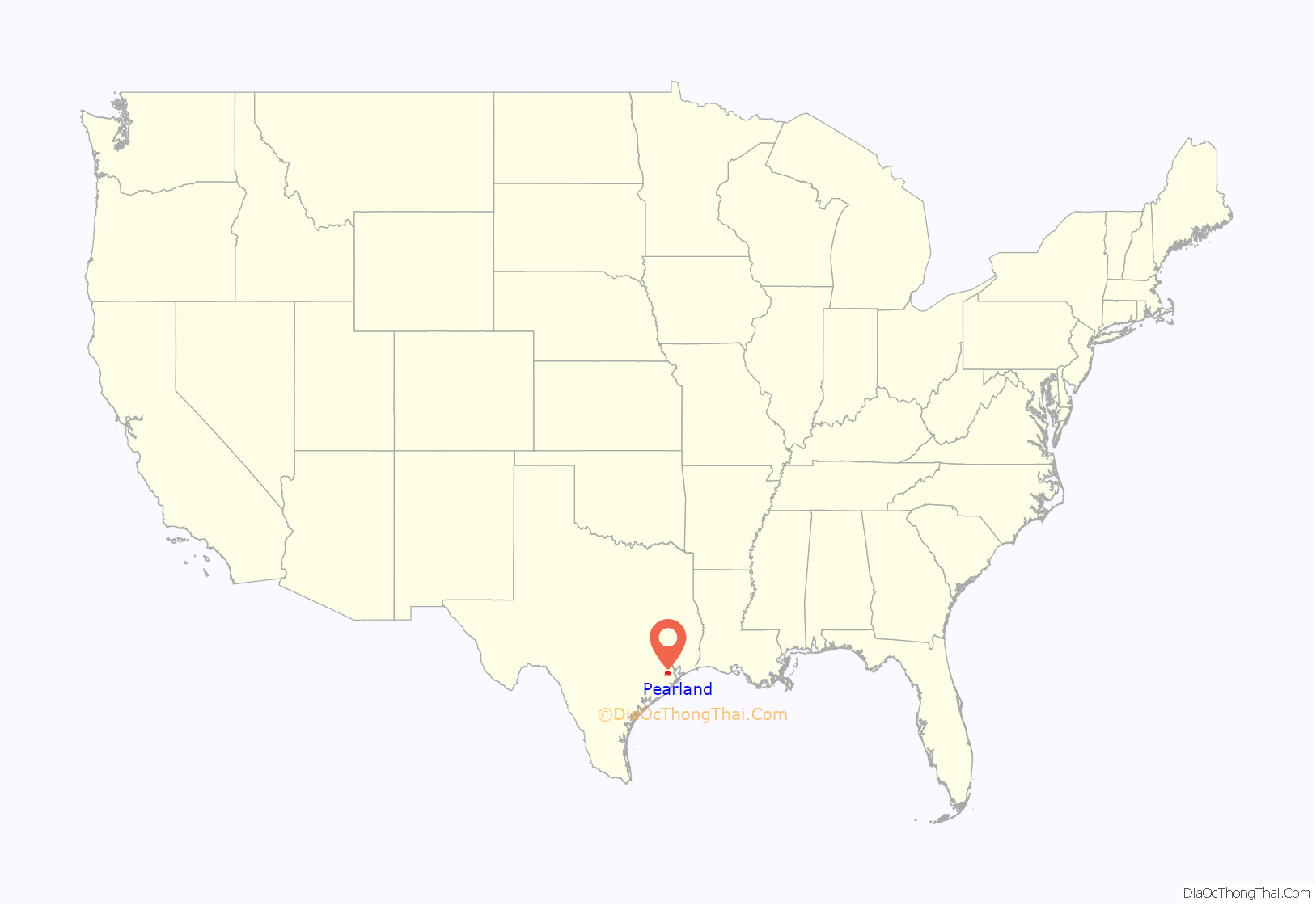
Pearland location map. Where is Pearland city?
History
Pearland had its beginnings near a siding switch on the Gulf, Colorado and Santa Fe Railway in 1882. When a post office was established in 1893, the community was named “Mark Belt”. On September 24, 1894, the plat of “Pear-Land” was filed with the Brazoria County courthouse by Witold von Zychlinski, a man of Polish nobility. At the time Pearland had many fruits harvested by residents. Zychlinski saw the pear trees and decided that “Pearland” would make a good name for the community.
In the 1800s, Pearland consisted of prairie. Residents harvested fruit and vegetables such as cantaloupes, corn, figs, pears and watermelons. Pearland was promoted by developers Allison & Richey Land Company as an “agricultural Eden”. The first subdivision was called “Suburban Gardens”.
The Galveston hurricane of 1900 and the Galveston hurricane of 1915 destroyed most of the city’s fruit trees and slowed growth for a considerable period of time, and caused a period of desertification in the area. In 1914, with agriculture rebounding and the end of desertification, Pearland had a population of 400, but a devastating freeze in 1918 was another setback to the local farming enterprises. Oil was discovered nearby in 1934, which led to the development of the Hastings Oilfield, though it did not spur much growth, as the population fluctuated between 150 and 350. In the 1930s and 1940s, Pearland had many dance halls and beer joints that entertained people from the Hastings and Manvel oil fields.
From the 1970s, the town has grown to its present-day population. By 1990, the city limits had extended into Harris County. In the 1990s, home developers began buying large tracts of land, changing the geography of the city. Former rice fields filled with houses. The historic town center of Pearland is at the intersection of Texas State Highway 35/Main and Broadway. West Pearland has a lot of suburban development, while East Pearland has older houses and, according to Maggie Galehouse of the Houston Chronicle, Pearland’s “rural roots still show” in the east side. Pearland’s main east-west corridor is Farm to Market Road 518/Broadway.
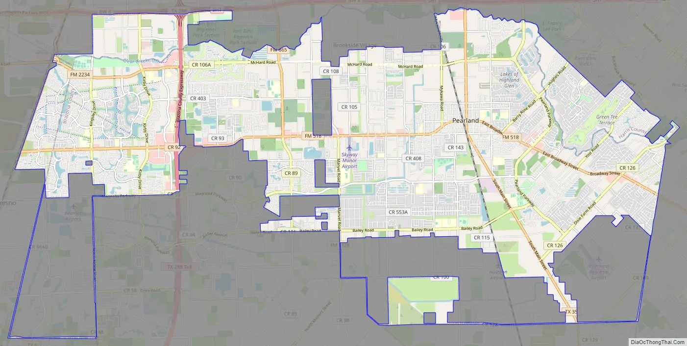
Pearland Road Map
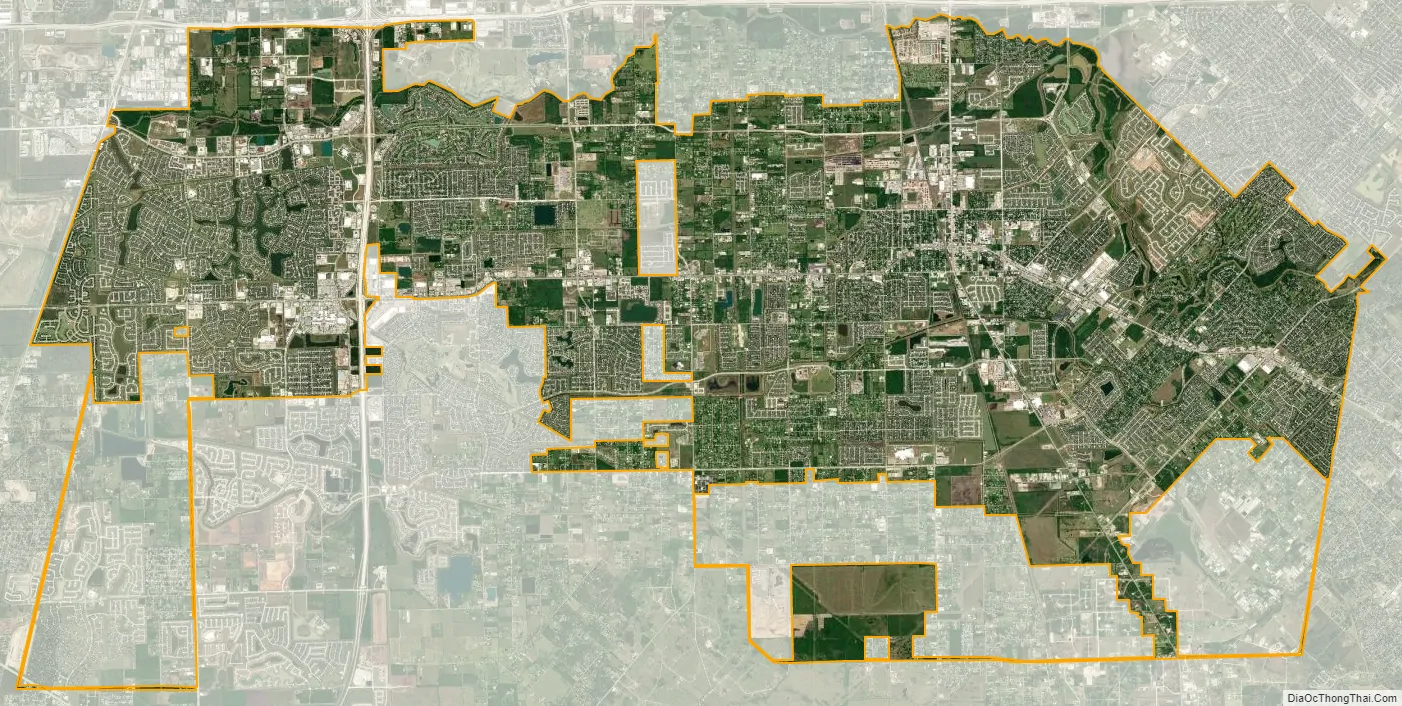
Pearland city Satellite Map
Geography
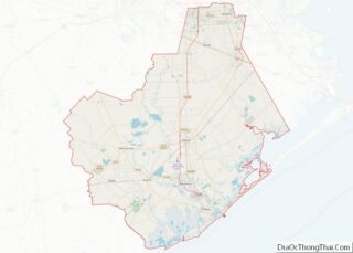
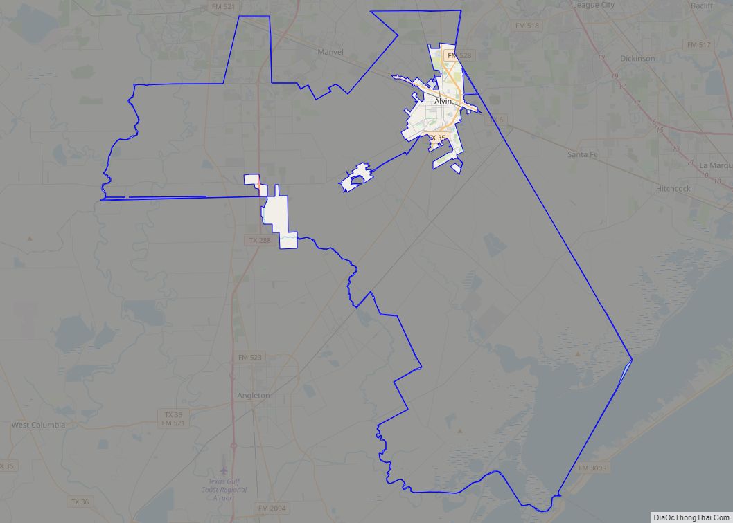
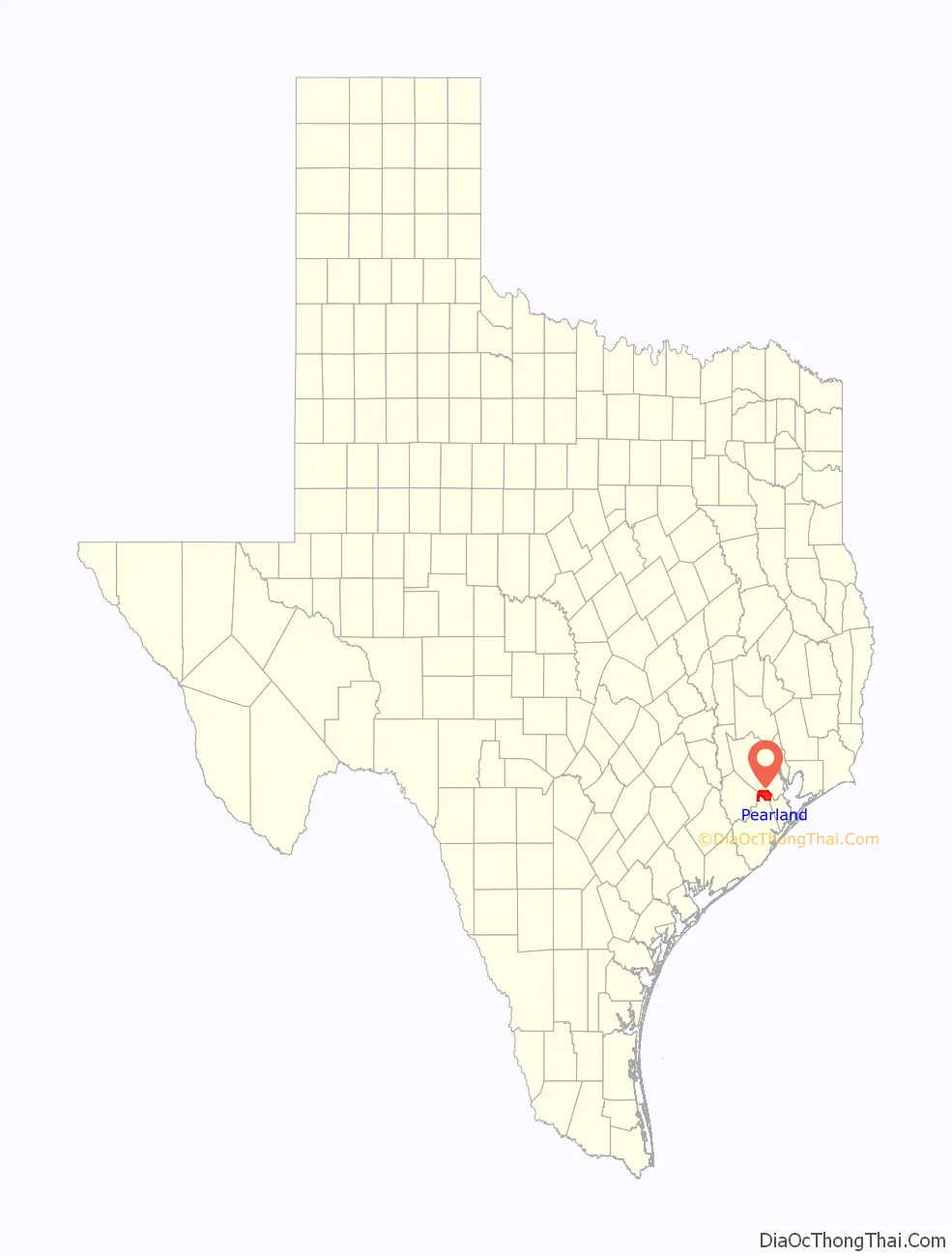
Pearland is within northern Brazoria County at 29°33′16″N 95°17′45″W / 29.55444°N 95.29583°W / 29.55444; -95.29583 (29.554349, −95.295959), south of the city of Houston. Portions of the city extend north into Harris County, and a smaller portion extends west into Fort Bend County. The city is bordered by Houston and Brookside Village to the north, by Manvel to the south, Almeda Rd/FM 521 to the west and by Friendswood to the east. Downtown Houston is approximately 16 miles (26 km) to the north of the city.
According to the United States Census Bureau, Pearland has a total area of 47.5 square miles (122.9 km), of which 47.0 square miles (121.8 km) is land and 0.46 square miles (1.2 km), or 0.94%, is water. In 2009 the city reported that the combined area of the city limits and of nearby unincorporated areas, including Country Place and Silverlake, was 72 square miles (190 km).
Neighborhoods
Eighty-three percent of Pearland is residential, which is a major contributing factor to the high population. The city is home to many master-planned communities; Sunrise Lakes, Southern Trails, Southdown, Lakes of Highland Glen, and Shadow Creek Ranch are among the most popular master-planned communities in Brazoria County. Country Place and Silverlake are in unincorporated areas near Pearland.
See also
Map of Texas State and its subdivision:- Anderson
- Andrews
- Angelina
- Aransas
- Archer
- Armstrong
- Atascosa
- Austin
- Bailey
- Bandera
- Bastrop
- Baylor
- Bee
- Bell
- Bexar
- Blanco
- Borden
- Bosque
- Bowie
- Brazoria
- Brazos
- Brewster
- Briscoe
- Brooks
- Brown
- Burleson
- Burnet
- Caldwell
- Calhoun
- Callahan
- Cameron
- Camp
- Carson
- Cass
- Castro
- Chambers
- Cherokee
- Childress
- Clay
- Cochran
- Coke
- Coleman
- Collin
- Collingsworth
- Colorado
- Comal
- Comanche
- Concho
- Cooke
- Coryell
- Cottle
- Crane
- Crockett
- Crosby
- Culberson
- Dallam
- Dallas
- Dawson
- Deaf Smith
- Delta
- Denton
- Dewitt
- Dickens
- Dimmit
- Donley
- Duval
- Eastland
- Ector
- Edwards
- El Paso
- Ellis
- Erath
- Falls
- Fannin
- Fayette
- Fisher
- Floyd
- Foard
- Fort Bend
- Franklin
- Freestone
- Frio
- Gaines
- Galveston
- Garza
- Gillespie
- Glasscock
- Goliad
- Gonzales
- Gray
- Grayson
- Gregg
- Grimes
- Guadalupe
- Hale
- Hall
- Hamilton
- Hansford
- Hardeman
- Hardin
- Harris
- Harrison
- Hartley
- Haskell
- Hays
- Hemphill
- Henderson
- Hidalgo
- Hill
- Hockley
- Hood
- Hopkins
- Houston
- Howard
- Hudspeth
- Hunt
- Hutchinson
- Irion
- Jack
- Jackson
- Jasper
- Jeff Davis
- Jefferson
- Jim Hogg
- Jim Wells
- Johnson
- Jones
- Karnes
- Kaufman
- Kendall
- Kenedy
- Kent
- Kerr
- Kimble
- King
- Kinney
- Kleberg
- Knox
- La Salle
- Lamar
- Lamb
- Lampasas
- Lavaca
- Lee
- Leon
- Liberty
- Limestone
- Lipscomb
- Live Oak
- Llano
- Loving
- Lubbock
- Lynn
- Madison
- Marion
- Martin
- Mason
- Matagorda
- Maverick
- McCulloch
- McLennan
- McMullen
- Medina
- Menard
- Midland
- Milam
- Mills
- Mitchell
- Montague
- Montgomery
- Moore
- Morris
- Motley
- Nacogdoches
- Navarro
- Newton
- Nolan
- Nueces
- Ochiltree
- Oldham
- Orange
- Palo Pinto
- Panola
- Parker
- Parmer
- Pecos
- Polk
- Potter
- Presidio
- Rains
- Randall
- Reagan
- Real
- Red River
- Reeves
- Refugio
- Roberts
- Robertson
- Rockwall
- Runnels
- Rusk
- Sabine
- San Augustine
- San Jacinto
- San Patricio
- San Saba
- Schleicher
- Scurry
- Shackelford
- Shelby
- Sherman
- Smith
- Somervell
- Starr
- Stephens
- Sterling
- Stonewall
- Sutton
- Swisher
- Tarrant
- Taylor
- Terrell
- Terry
- Throckmorton
- Titus
- Tom Green
- Travis
- Trinity
- Tyler
- Upshur
- Upton
- Uvalde
- Val Verde
- Van Zandt
- Victoria
- Walker
- Waller
- Ward
- Washington
- Webb
- Wharton
- Wheeler
- Wichita
- Wilbarger
- Willacy
- Williamson
- Wilson
- Winkler
- Wise
- Wood
- Yoakum
- Young
- Zapata
- Zavala
- Alabama
- Alaska
- Arizona
- Arkansas
- California
- Colorado
- Connecticut
- Delaware
- District of Columbia
- Florida
- Georgia
- Hawaii
- Idaho
- Illinois
- Indiana
- Iowa
- Kansas
- Kentucky
- Louisiana
- Maine
- Maryland
- Massachusetts
- Michigan
- Minnesota
- Mississippi
- Missouri
- Montana
- Nebraska
- Nevada
- New Hampshire
- New Jersey
- New Mexico
- New York
- North Carolina
- North Dakota
- Ohio
- Oklahoma
- Oregon
- Pennsylvania
- Rhode Island
- South Carolina
- South Dakota
- Tennessee
- Texas
- Utah
- Vermont
- Virginia
- Washington
- West Virginia
- Wisconsin
- Wyoming