Bristol County is a county located in the U.S. state of Rhode Island. As of the 2020 census, the population was 50,793, making it the least populous county in Rhode Island. In terms of land area, it is the third-smallest county in the United States, at only 25 square miles (65 km). The county was created in 1747 when it was separated from Bristol County, Massachusetts. Bristol County is included in the Providence–Warwick, RI-MA Metropolitan Statistical Area, which in turn constitutes a portion of the greater Boston-Worcester-Providence, MA-RI-NH–CT Combined Statistical Area.
| Name: | Bristol County |
|---|---|
| FIPS code: | 44-001 |
| State: | Rhode Island |
| Founded: | 1747 |
| Named for: | Bristol, England |
| Seat: | Bristol |
| Largest town: | Bristol |
| Total Area: | 45 sq mi (120 km²) |
| Land Area: | 24 sq mi (60 km²) |
| Total Population: | 50,793 |
| Population Density: | 1,128.7/sq mi (435.8/km²) |
| Time zone: | UTC−5 (Eastern) |
| Summer Time Zone (DST): | UTC−4 (EDT) |
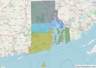
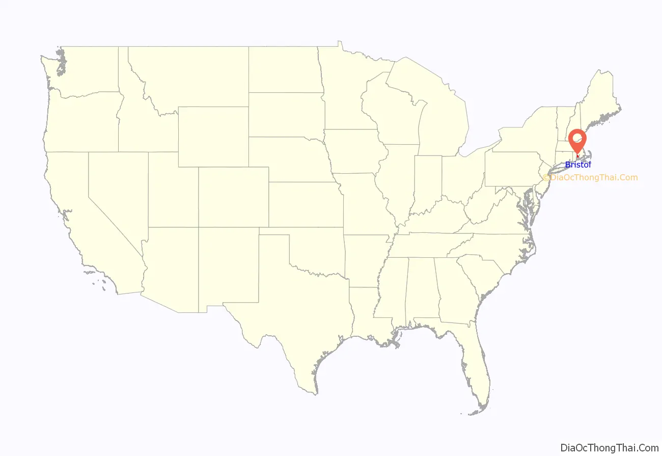
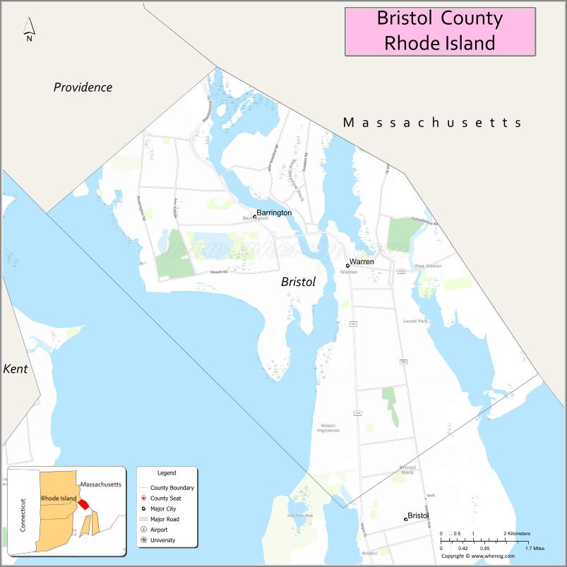
Bristol County location map. Where is Bristol County?
History
The county was formed by the transfer of part of Bristol County, Massachusetts, to the Colony of Rhode Island in 1746, having been the subject of a long-running border dispute.
The original county was part of the Plymouth Colony and named after its “shire town” (county seat), what is now Bristol, Rhode Island. The new Rhode Island county was formed in 1746 with the full modern territory of Bristol, Barrington, and Warren.
See Bristol County, Massachusetts for later land transfers between Massachusetts and Rhode Island.
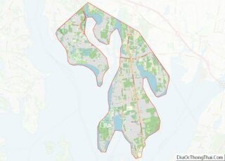
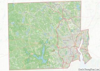
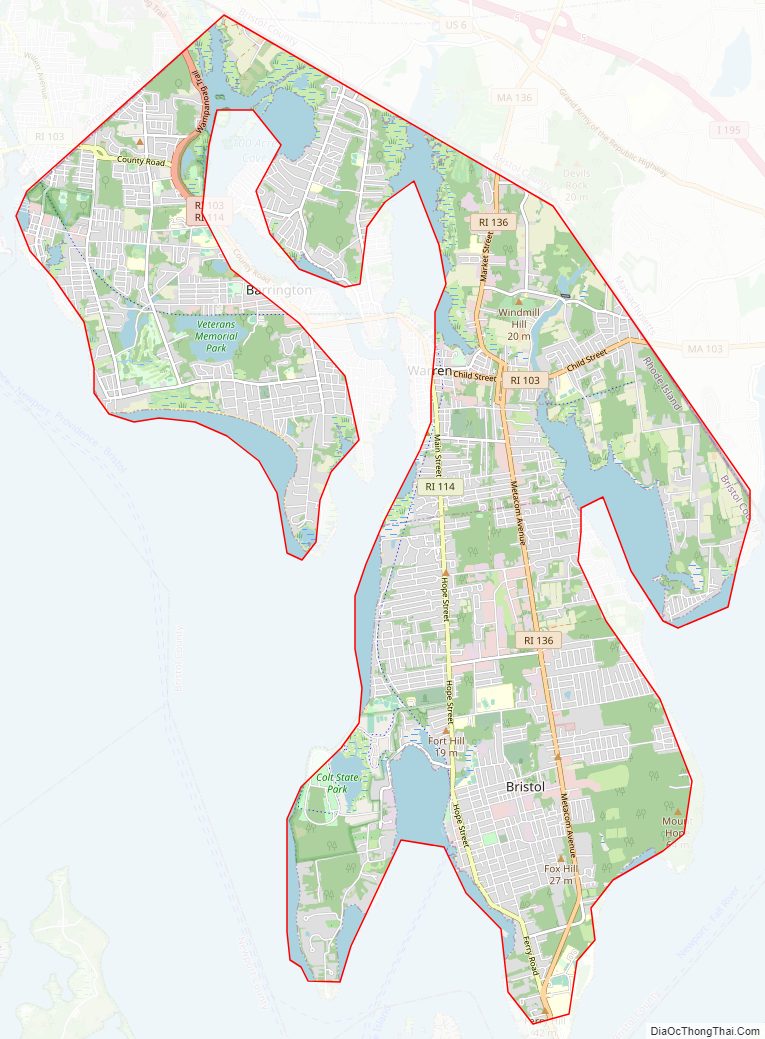
Bristol County Road Map
Geography
According to the U.S. Census Bureau, the county has a total area of 45 square miles (120 km), of which 24 square miles (62 km) is land and 21 square miles (54 km) (46%) is water. It is the smallest county in Rhode Island. In land area only (water area omitted), it is the third-smallest county in the United States, following Kalawao County, Hawaii and New York County, New York (Manhattan). The highest point in the county is Mount Hope, in Bristol, which stands 217 feet (66 m) above sea level.
Adjacent counties
- Bristol County, Massachusetts: east
- Providence County, Rhode Island: north
- Kent County, Rhode Island: west
- Newport County, Rhode Island: south
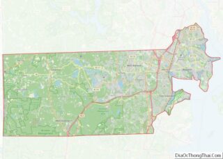
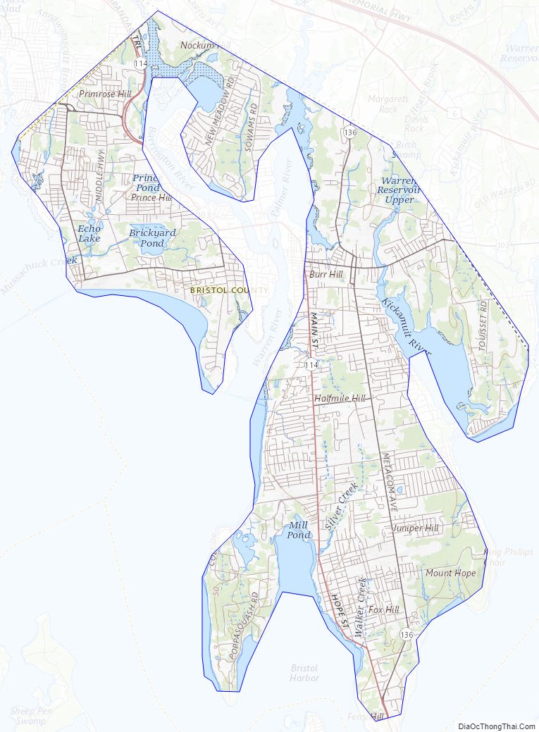
Bristol County Topographic Map
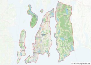
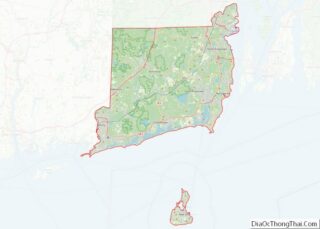
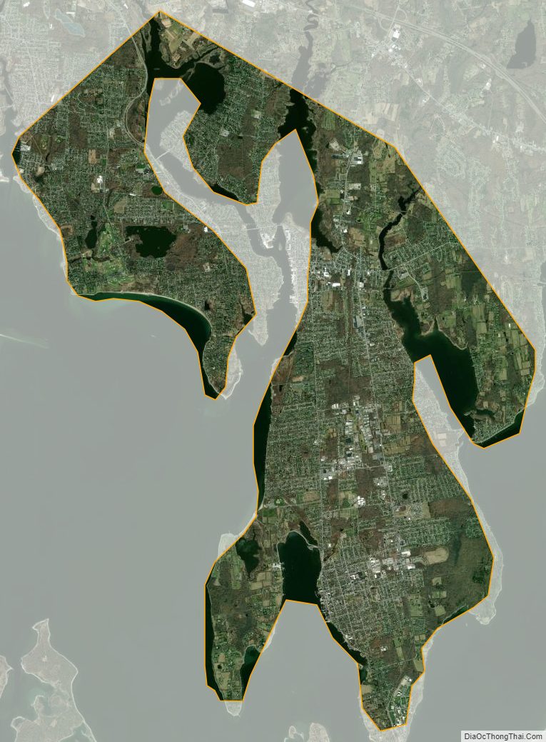
Bristol County Satellite Map
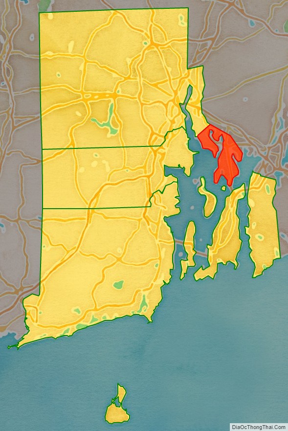
Bristol County Outline Map