Providence County is the most populous county in the U.S. state of Rhode Island. As of the 2020 census, the county’s population was 660,741, or 60.2% of the state’s population. Providence County contains the city of Providence, the state capital of Rhode Island and the county’s (and state’s) most populous city, with an estimated 190,934 residents in 2020. Providence County is included in the Providence-Warwick, RI-MA Metropolitan Statistical Area, which in turn constitutes a portion of the greater Boston-Worcester-Providence, MA-RI-NH–CT Combined Statistical Area. As of 2010, the center of population in Rhode Island is located in Providence County, in the city of Cranston.
| Name: | Providence County |
|---|---|
| FIPS code: | 44-007 |
| State: | Rhode Island |
| Founded: | June 22, 1703 |
| Named for: | Providence, Rhode Island |
| Seat: | Providence (1703-1842) |
| Largest city: | Providence |
| Total Area: | 436 sq mi (1,130 km²) |
| Land Area: | 410 sq mi (1,100 km²) |
| Total Population: | 660,741 |
| Population Density: | 741/sq mi (286/km²) |
| Time zone: | UTC−5 (Eastern) |
| Summer Time Zone (DST): | UTC−4 (EDT) |
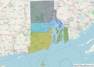
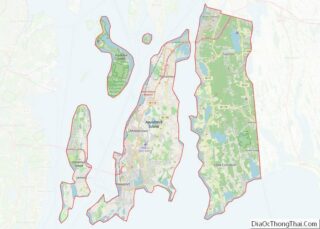
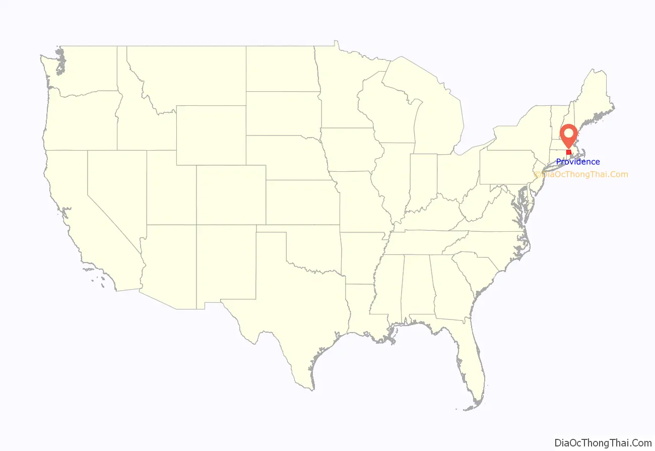
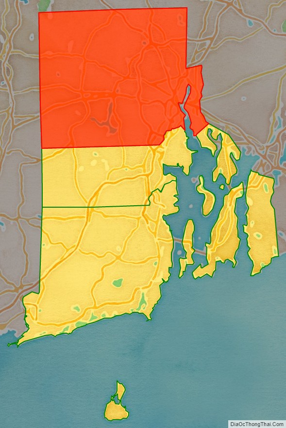
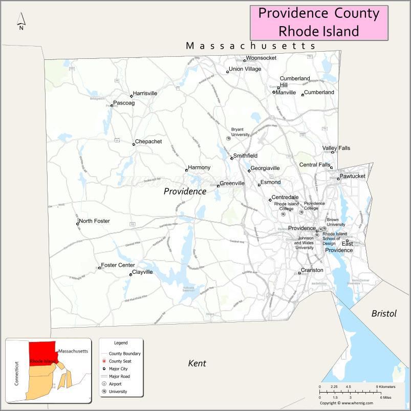
Providence County location map. Where is Providence County?
History
Providence County was constituted on June 22, 1703, as the County of Providence Plantations. It consisted of five towns, namely Providence, Warwick, Westerly, Kingstown, and Greenwich and encompassed territory in present-day Kent and Washington counties. Washington County was split off as King’s County in 1729, while Kent County was split off in 1750. The town of Cumberland was acquired from Massachusetts and added to Providence County in 1746–47, and the towns of East Providence and Pawtucket were made part of Providence County when the final border with Massachusetts was settled in 1862.
County government in Rhode Island was abolished in 1842. Providence County, like other counties in Rhode Island, has no governmental functions (other than as court administrative and sheriff corrections boundaries which are part of state government).
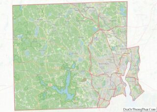
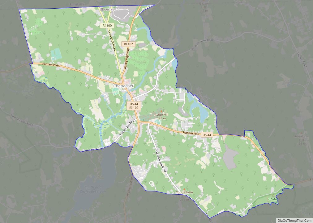
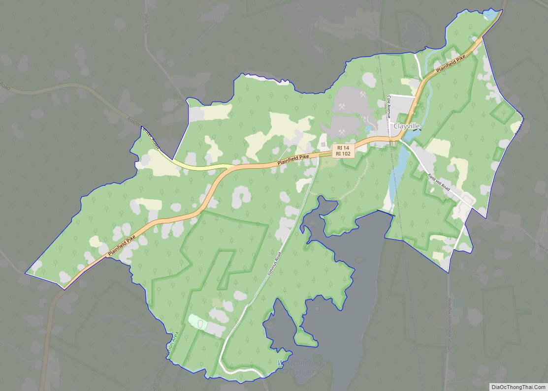
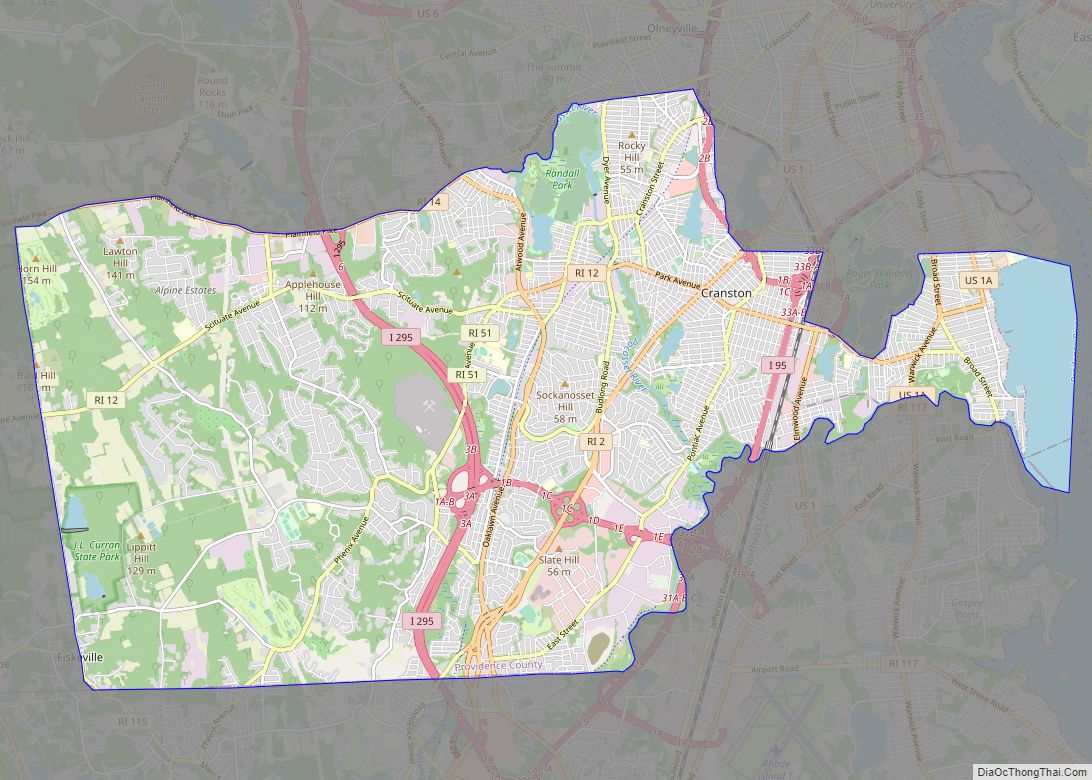
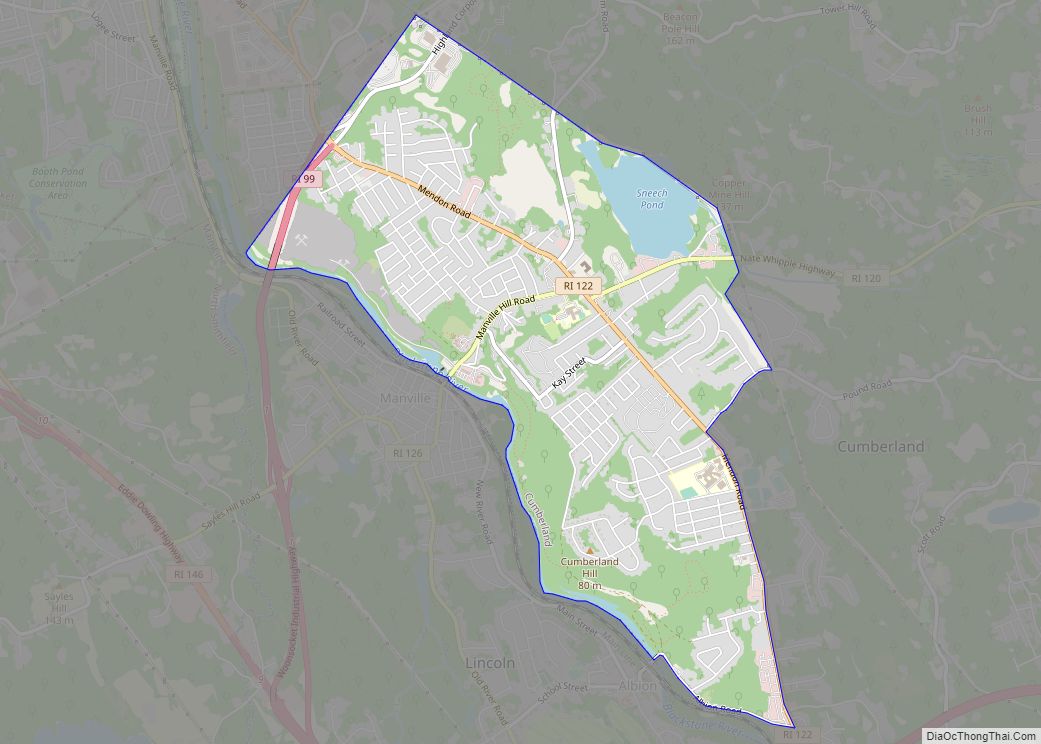
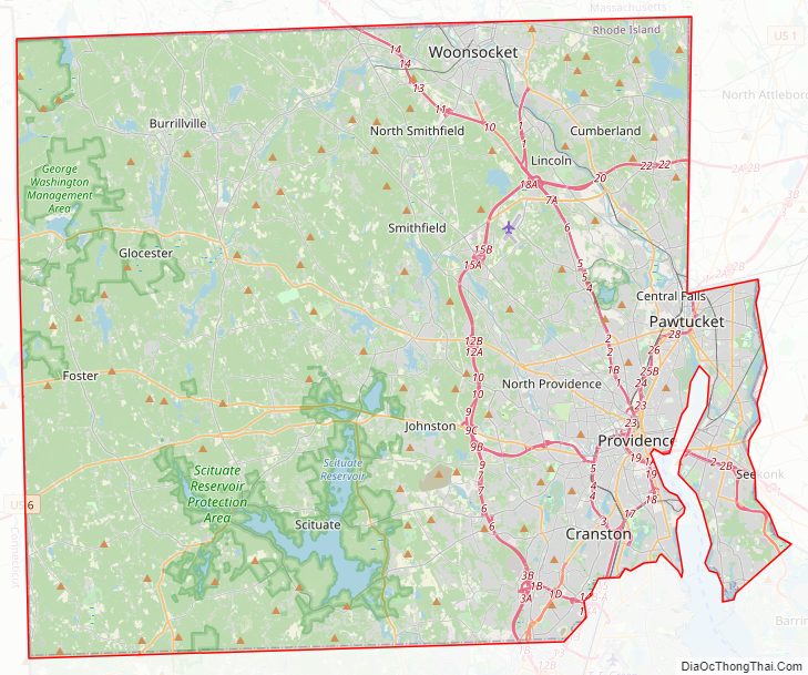
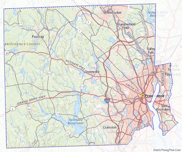
Providence County Road Map
Geography
According to the U.S. Census Bureau, the county has a total area of 436 square miles (1,130 km), of which 410 square miles (1,100 km) is land and 26 square miles (67 km) (6.0%) is water. It is the largest of Rhode Island’s five counties by land area, but it’s the smallest county in the United States that is a state’s largest county. The county is drained by the Blackstone River, which runs partly along the east border, the Woonasquatucket River in the central part of the county, joining with the smaller Moshassuck River in downtown Providence, and the Pawtuxet, which forms a portion of the southeastern boundary of the county. The Pawtuxet is dammed in the western part of the county to form the Scituate Reservoir, which supplies drinking water for Providence and surrounding communities.
The highest natural point in the county and the state of Rhode Island is Jerimoth Hill at 812 feet (247 m). Sea level is the lowest point.
Adjacent counties
- Norfolk County, Massachusetts – northeast
- Bristol County, Massachusetts – east
- Bristol County – southeast
- Kent County – south
- Windham County, Connecticut – west
- Worcester County, Massachusetts – northwest
National protected areas
- Blackstone River Valley National Historical Park (part)
- Roger Williams National Memorial
Major highways
- I-95
- I-195
- I-295
- US 1
- US 1A
- US 6
- US 6A
- US 44
- Route 2
- Route 5
- Route 7
- Route 10
- Route 12
- Route 14
- Route 15
- Route 33
- Route 37
- Route 51
- Route 94
- Route 96
- Route 98
- Route 99
- Route 100
- Route 102
- Route 103
- Route 103A
- Route 104
- Route 107
- Route 108
- Route 114
- Route 114A
- Route 115
- Route 116
- Route 117
- Route 120
- Route 121
- Route 122
- Route 123
- Route 126
- Route 128
- Route 146
- Route 146A
- Route 152
Providence County Topographic Map
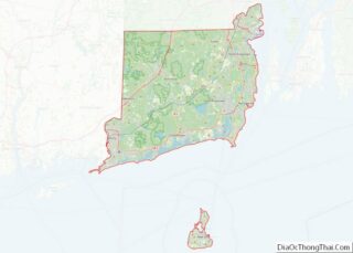
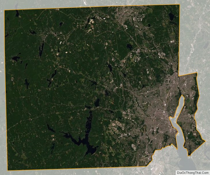
Providence County Satellite Map
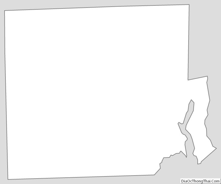
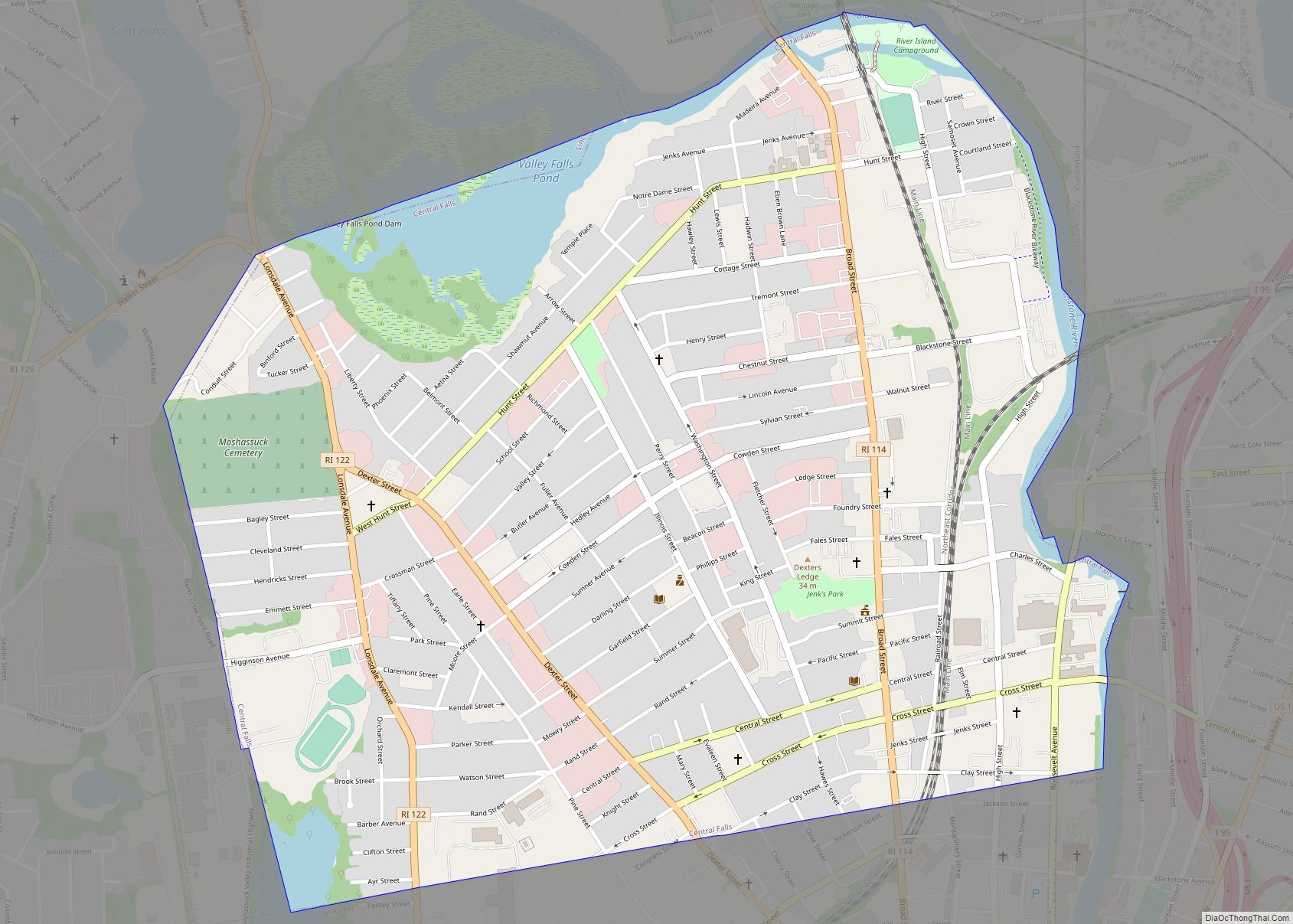
Providence County Outline Map