Newport County is one of five counties located in the U.S. state of Rhode Island. As of the 2020 census, the population was 85,643. It is also one of the seven regions of Rhode Island. The county was created in 1703. Like all of the counties in Rhode Island, Newport County no longer has any governmental functions (other than as court administrative and sheriff corrections boundaries). All of those functions in Rhode Island are now carried out either by the state government, or by the cities and towns of Rhode Island. Newport County is included in the Providence–Warwick, RI-MA Metropolitan Statistical Area, which is in turn constitutes a portion of the greater Boston-Worcester-Providence, MA-RI-NH–CT Combined Statistical Area.
| Name: | Newport County |
|---|---|
| FIPS code: | 44-005 |
| State: | Rhode Island |
| Founded: | June 22, 1703 |
| Named for: | Newport, Essex |
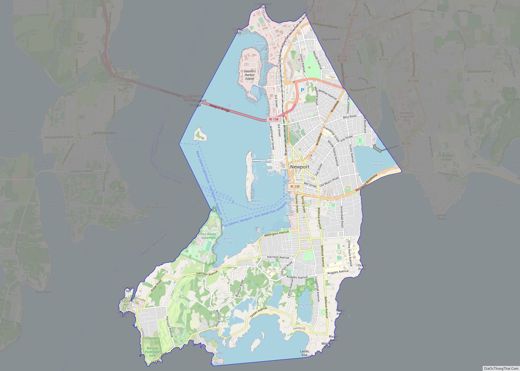
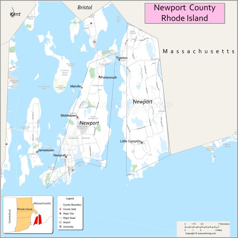
| Seat: | Newport |
| Largest city: | Newport |
| Total Area: | 314 sq mi (810 km²) |
| Land Area: | 102 sq mi (260 km²) |
| Total Population: | 85,643 |
| Population Density: | 270/sq mi (100/km²) |
| Time zone: | UTC−5 (Eastern) |
| Summer Time Zone (DST): | UTC−4 (EDT) |
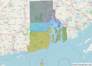
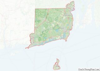
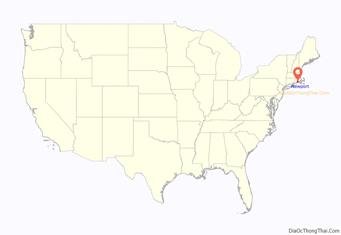
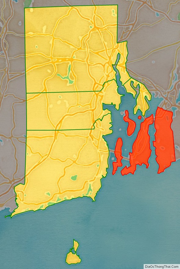
Newport County location map. Where is Newport County?
History
Newport County was constituted on June 22, 1703, as one of the two original counties of the Colony of Rhode Island and Providence Plantations. As originally established, Newport County consisted of four towns: Portsmouth, Newport, Jamestown, and New Shoreham. In 1746–47, two towns, Little Compton and Tiverton, were acquired from Massachusetts. In 1856, the town of Fall River was split off from Tiverton but was ceded to Massachusetts six years later in 1862 as part of the settlement of the boundary dispute between Rhode Island and Massachusetts. In 1963, the town of New Shoreham was transferred to Washington County. County government was abolished in Rhode Island in 1842 and today remains only for the purpose of delineating judicial administrative boundaries.
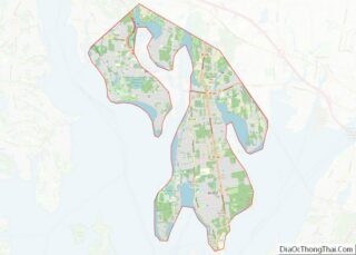
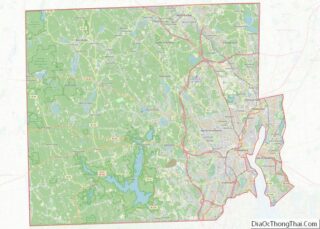
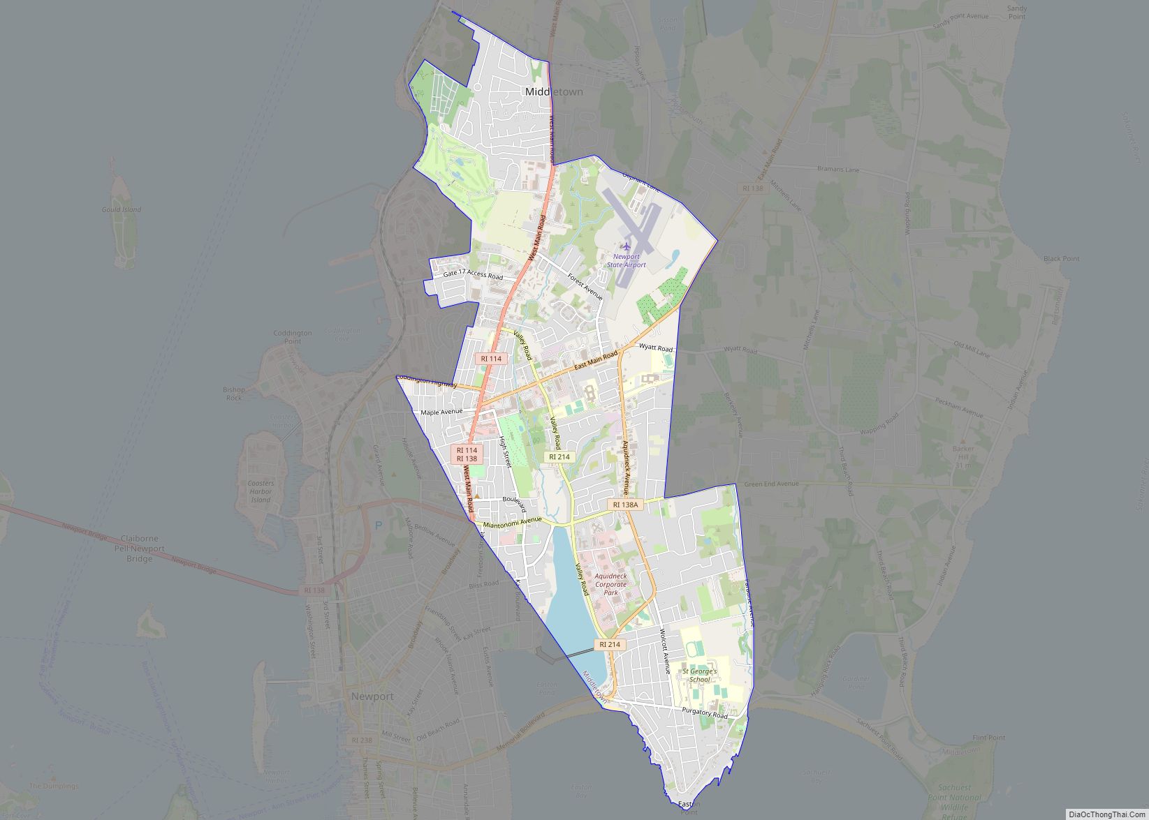
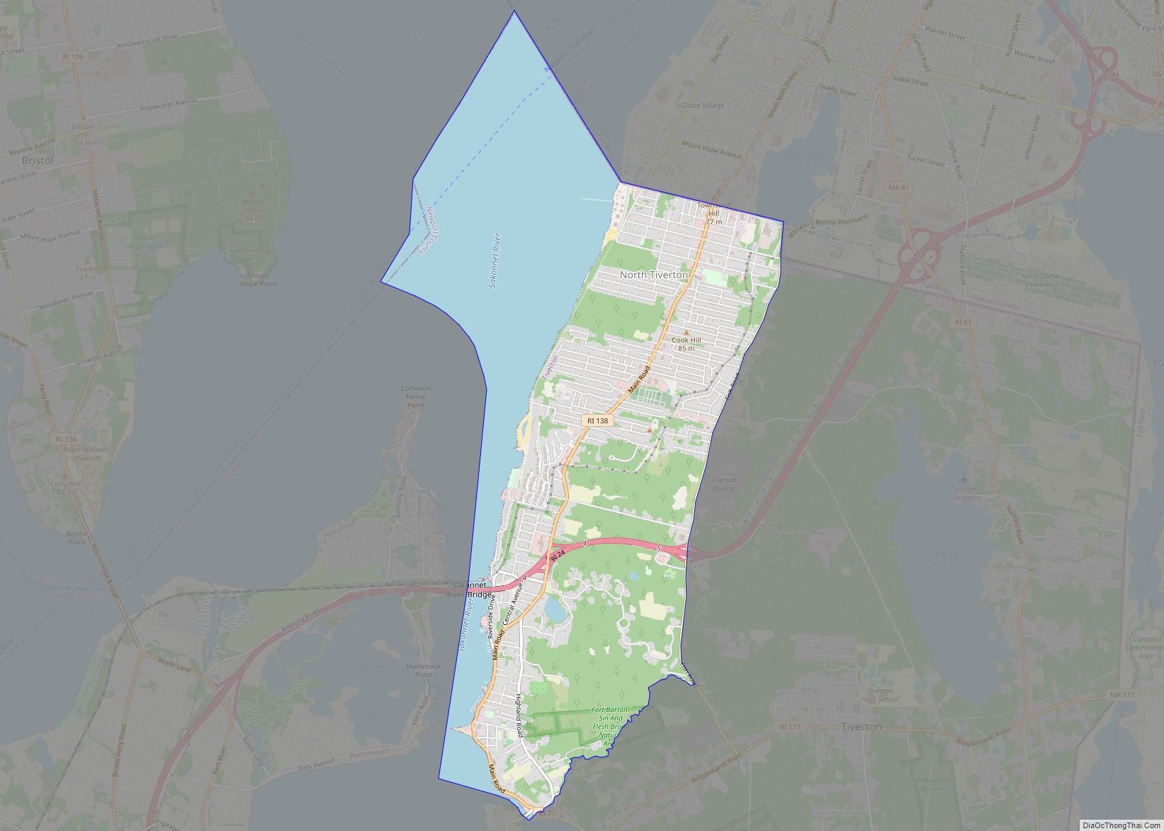
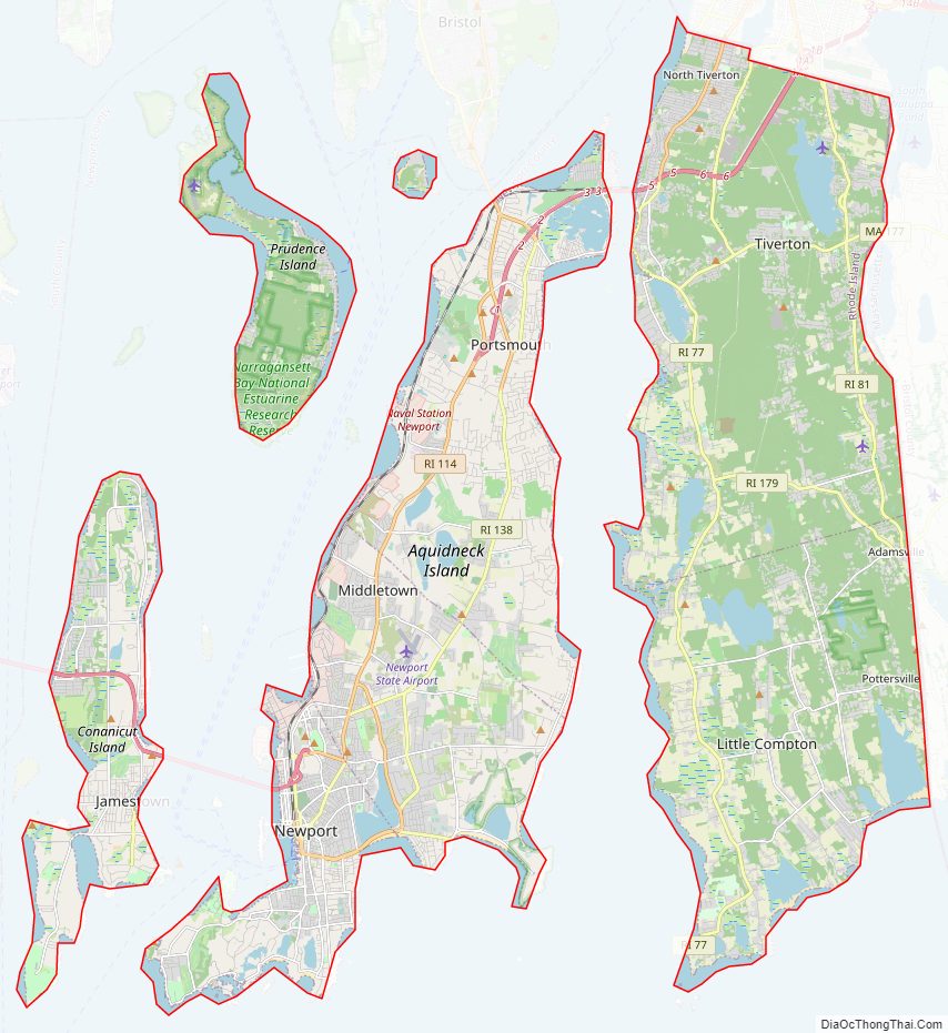
Newport County Road Map
Geography
According to the U.S. Census Bureau, the county has a total area of 314 square miles (810 km), of which 102 square miles (260 km) is land and 211 square miles (550 km) (67%) is water.
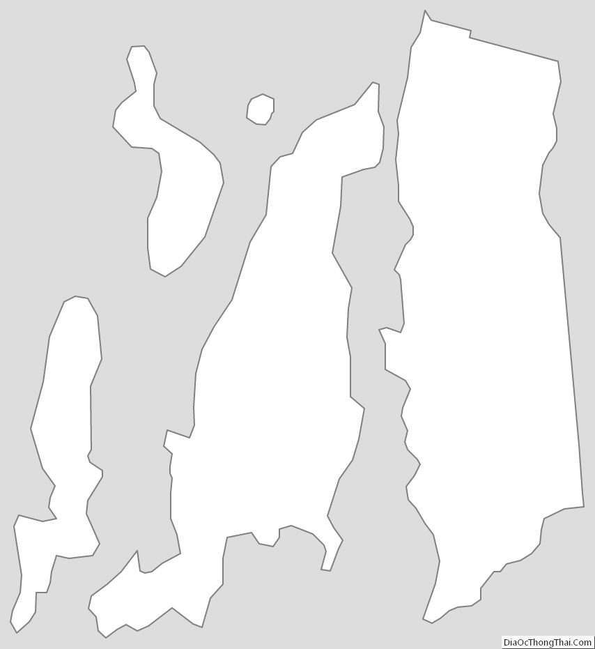
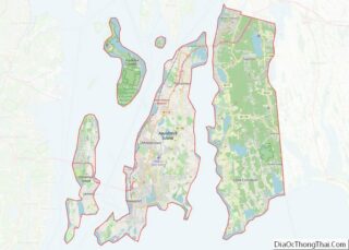
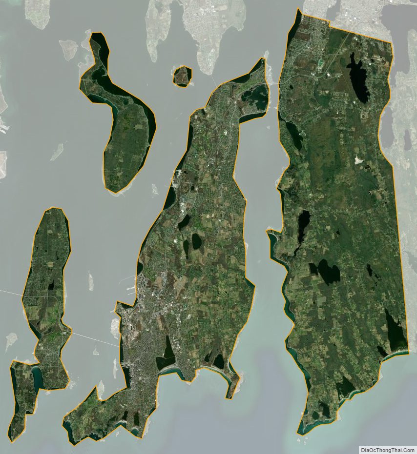
The county consists of Aquidneck Island, Conanicut Island, Prudence Island, and the easternmost portion of the state on the mainland. The highest point in the county is Pocasset Hill, 320 feet (98 m) above sea level, located in Tiverton. The lowest elevation is at sea level.
Adjacent counties
- Bristol County – north
- Bristol County, Massachusetts – east
- Washington County – west
National protected areas
- Sachuest Point National Wildlife Refuge
- Touro Synagogue National Historic Site
Major Highways
- Route 24
- Route 77
- Route 81
- Route 114
- Route 138
- Route 138A
- Route 179
- Route 214
- Route 238
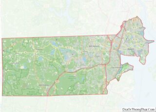
Newport County Topographic Map
Newport County Satellite Map
Newport County Outline Map