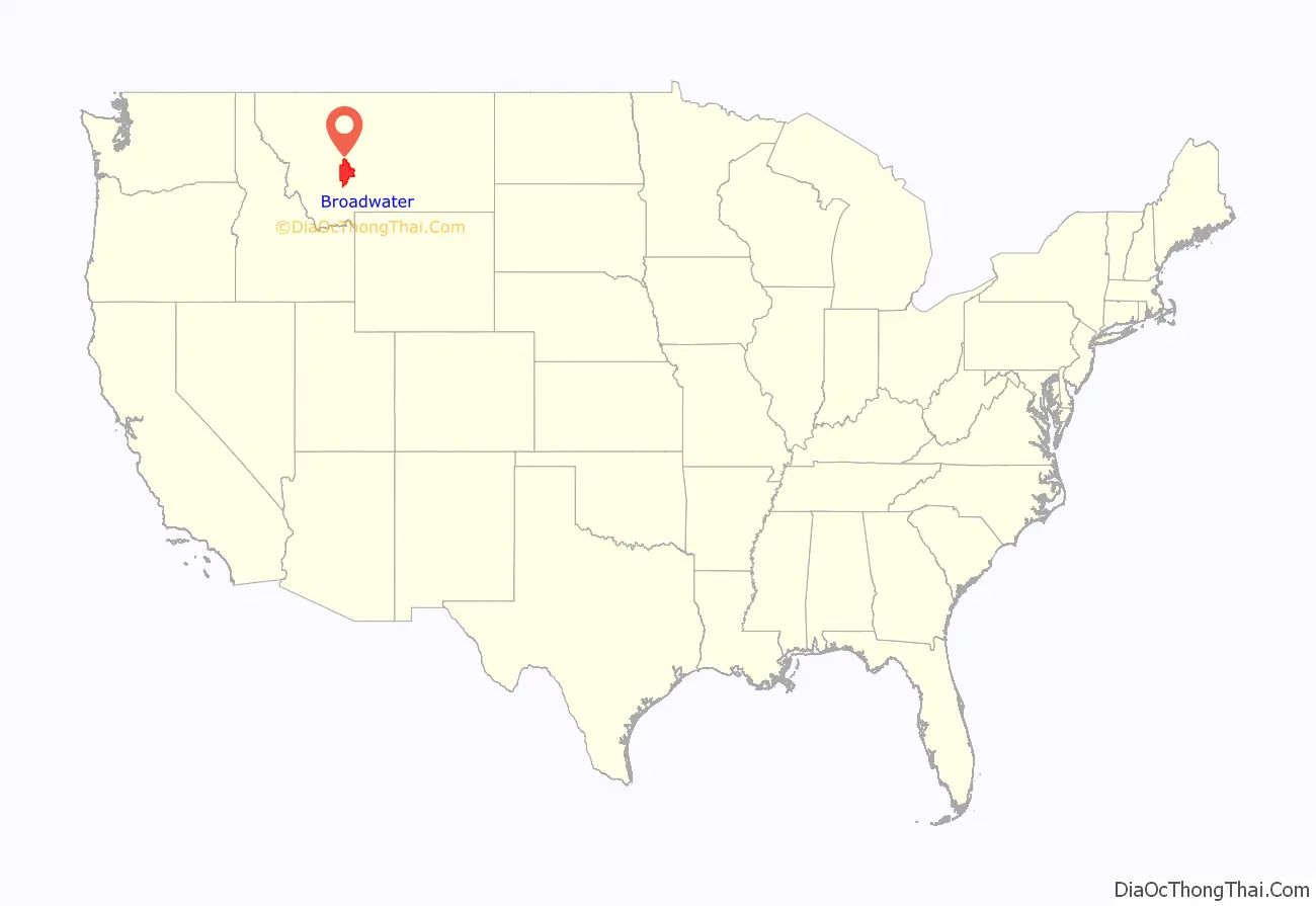
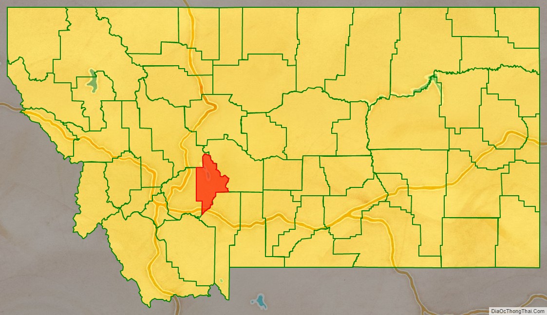
Broadwater County is a county in the U.S. state of Montana. As of the 2020 census, the population was 6,774. Its county seat is Townsend. The county was named for Charles Arthur Broadwater, a noted Montana railroad, real estate, and banking magnate.
| Name: | Broadwater County |
|---|---|
| FIPS code: | 30-007 |
| State: | Montana |
| Founded: | 1897 |
| Named for: | Charles Arthur Broadwater |
| Seat: | Townsend |
| Largest city: | Townsend |
| Total Area: | 1,239 sq mi (3,210 km²) |
| Land Area: | 1,193 sq mi (3,090 km²) |
| Total Population: | 6,774 |
| Population Density: | 5.5/sq mi (2.1/km²) |
| Time zone: | UTC−7 (Mountain) |
| Summer Time Zone (DST): | UTC−6 (MDT) |
| Website: | www.co.broadwater.mt.us |
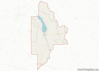
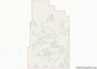
Broadwater County location map. Where is Broadwater County?
History
The Lewis and Clark Expedition traveled through what is now Broadwater County as they traced the Missouri River. Gold was discovered in the Big Belt Mountains in 1864 which brought several mining towns. In 1881 the Northern Pacific Railway included a stop in what is now Townsend.
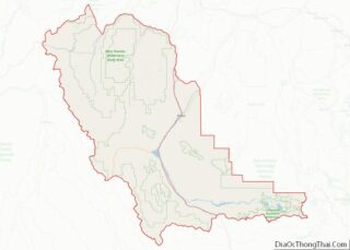
Broadwater County Road Map
Geography
According to the United States Census Bureau, the county has a total area of 1,239 square miles (3,210 km), of which 1,193 square miles (3,090 km) is land and 46 square miles (120 km) (3.7%) is water.
The boundaries of the county are roughly formed by the Big Belt Mountains to the east and north, the Elkhorn Mountains to the west, and the Horseshoe Hills to the south.
Broadwater County is perhaps best known as the home of Canyon Ferry Lake, the third largest body of water in Montana. The lake provides essential irrigation to local farms, and serves as a recreation destination for the region, with fishing, boating, swimming, camping, and wildlife viewing opportunities.
Major highways
- Interstate 90
- U.S. Highway 12
- U.S. Highway 287
- Montana Highway 2
Adjacent counties
- Meagher County – east
- Gallatin County – south
- Jefferson County – west
- Lewis and Clark County – northwest
National protected area
- Helena National Forest (part)
