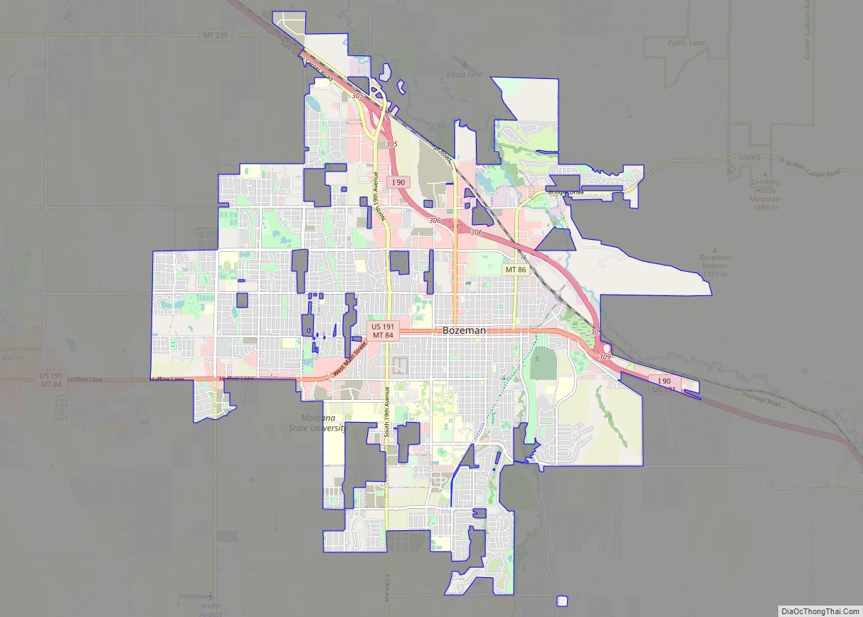
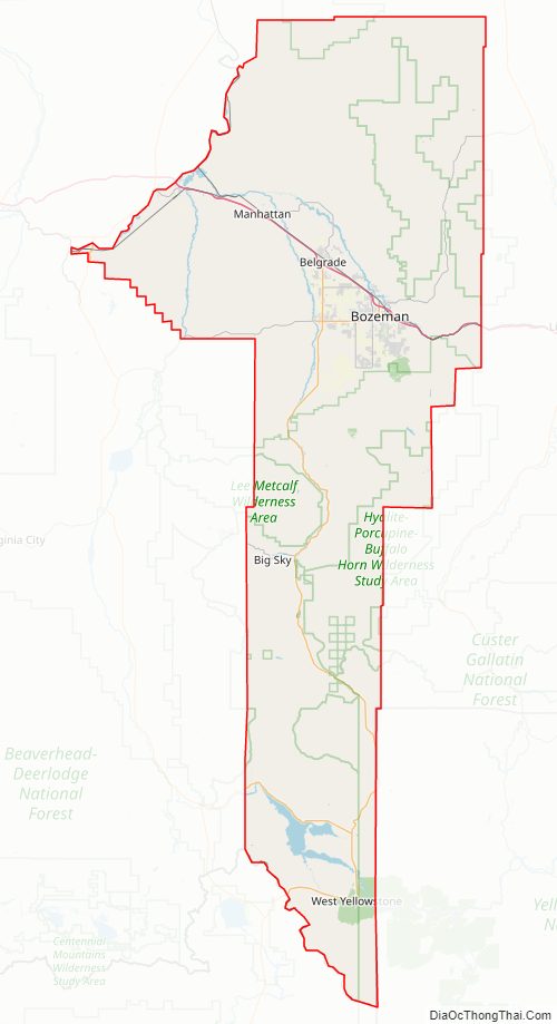
Gallatin County is located in the U.S. state of Montana. With its county seat in Bozeman, it is the second-most populous county in Montana, with a population of 118,960 in the 2020 Census.
The county’s prominent geographical features are the Bridger mountains in the north, and the Gallatin mountains and Gallatin River in the south, named by Meriwether Lewis in 1805 for Albert Gallatin, the United States Treasury Secretary who formulated the Lewis and Clark Expedition.
At the southern end of the county, West Yellowstone‘s entrance into Yellowstone National Park accounts for around half of all park visitors. Big Sky Resort, one of the largest ski resorts in the United States, lies in Gallatin and neighboring Madison counties, midway between Bozeman and West Yellowstone.
| Name: | Gallatin County |
|---|---|
| FIPS code: | 30-031 |
| State: | Montana |
| Founded: | 1865 |
| Named for: | Gallatin River (Albert Gallatin) |
| Seat: | Bozeman |
| Largest city: | Bozeman |
| Total Area: | 2,632 sq mi (6,820 km²) |
| Land Area: | 2,603 sq mi (6,740 km²) |
| Total Population: | 118,960 |
| Population Density: | 45/sq mi (17/km²) |
| Time zone: | UTC−7 (Mountain) |
| Summer Time Zone (DST): | UTC−6 (MDT) |
| Website: | www.gallatin.mt.gov |
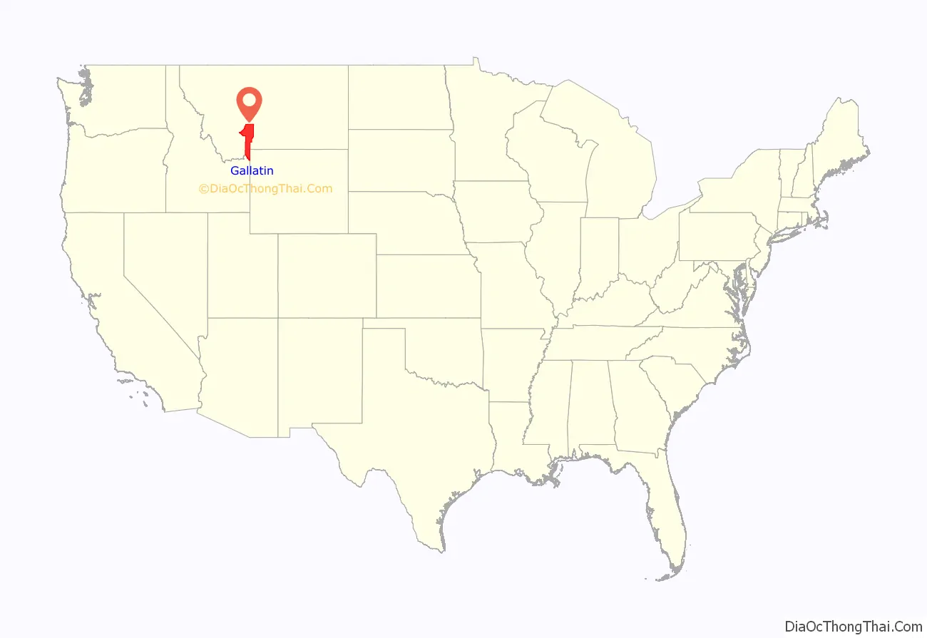
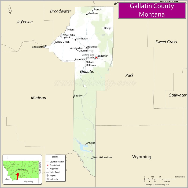
Gallatin County location map. Where is Gallatin County?

History
During the territorial era, a small patch of land known as “Lost Dakota” existed as a remote exclave of Dakota Territory until it was transferred to Gallatin County, Montana Territory, in 1873.
Gallatin County Road Map
Geography
According to the United States Census Bureau, the county has a total area of 2,632 square miles (6,820 km), of which 2,603 square miles (6,740 km) is land and 29 square miles (75 km) (1.1%) is water. The county attained its present boundaries in 1978, when the former Yellowstone National Park (part) county-equivalent was dissolved and apportioned between Gallatin County and Park County. Gallatin County received 99.155 square miles (256.8 km) of land area and 0.119 square miles (0.3 km) of water area, whereas Park County received 146.229 square miles (378.7 km) of land area and 0.608 square miles (1.6 km) of water area. The geographies transferred are known now as Census Tract 14 in Gallatin County, and as Census Tract 6 in Park County.
Major highways
- Interstate 90
- U.S. Highway 20
- U.S. Highway 191
- U.S. Highway 287
- Montana Highway 2
- Montana Highway 64
- Montana Highway 84
- Montana Highway 85
- Montana Highway 86
- Montana Secondary Highway 205
Adjacent counties
- Madison County – west
- Jefferson County – northwest
- Broadwater County – north
- Meagher County – northeast
- Park County – east
- Park County, Wyoming – southeast
- Teton County, Wyoming – southeast
- Fremont County, Idaho – southwest
National protected areas
- Gallatin National Forest (part)
- Yellowstone National Park (part)
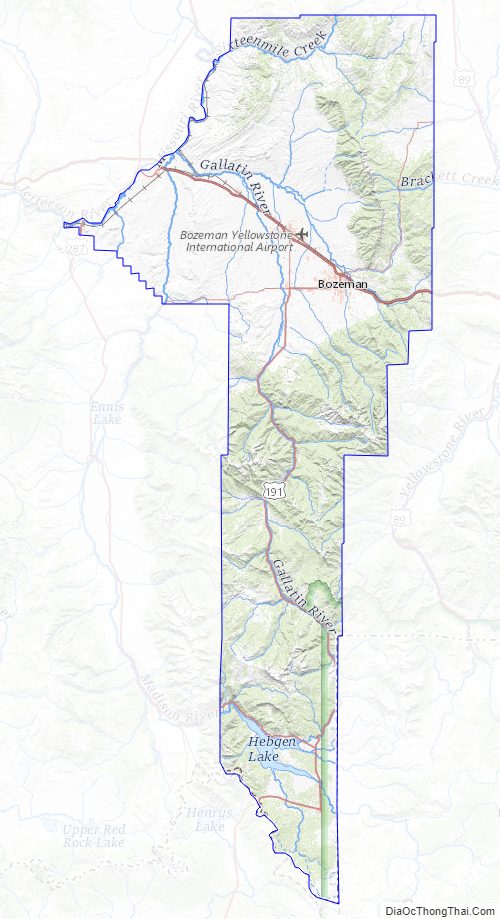
Gallatin County Topographic Map
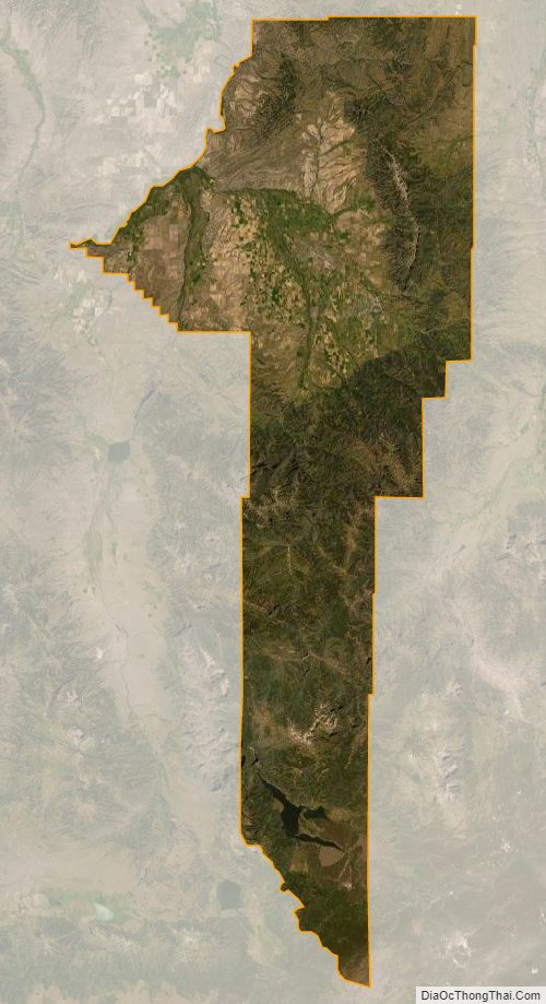
Gallatin County Satellite Map
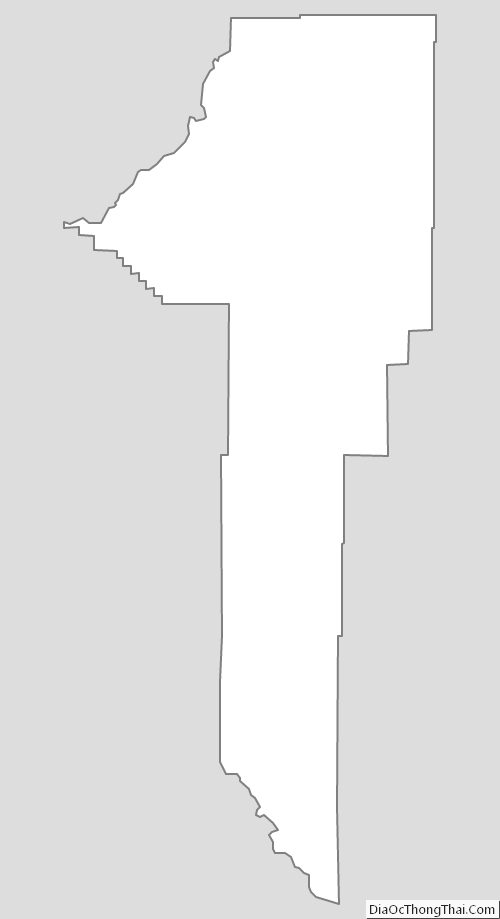
Gallatin County Outline Map