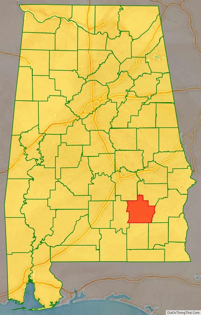
Pike County is located in the U.S. state of Alabama. As of the 2020 census the population was 33,009. Its county seat is Troy. Its name is in honor of General Zebulon Pike, of New Jersey, an explorer who led an expedition to southern Colorado and discovered Pikes Peak in 1806.
Pike County comprises the Troy, AL Micropolitan Statistical Area.
| Name: | Pike County |
|---|---|
| FIPS code: | 01-109 |
| State: | Alabama |
| Founded: | December 17, 1821 |
| Named for: | Zebulon Pike |
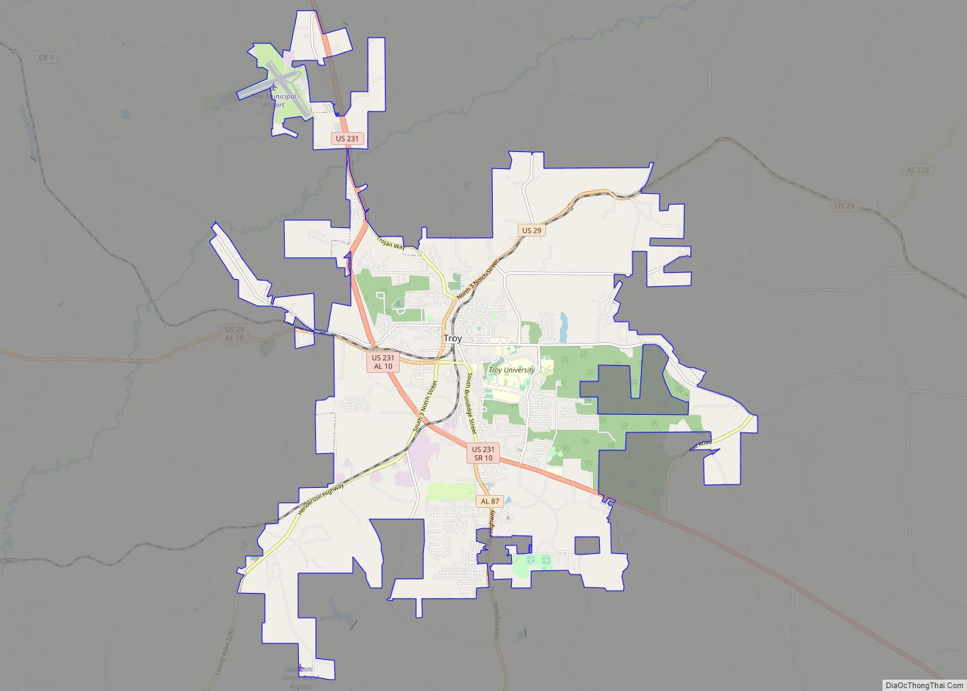
| Seat: | Troy |
| Largest city: | Troy |
| Total Area: | 673 sq mi (1,740 km²) |
| Land Area: | 672 sq mi (1,740 km²) |
| Total Population: | 33,009 |
| Population Density: | 49/sq mi (19/km²) |
| Time zone: | UTC−6 (Central) |
| Summer Time Zone (DST): | UTC−5 (CDT) |
| Website: | www.alabamagis.com/Pike/ |
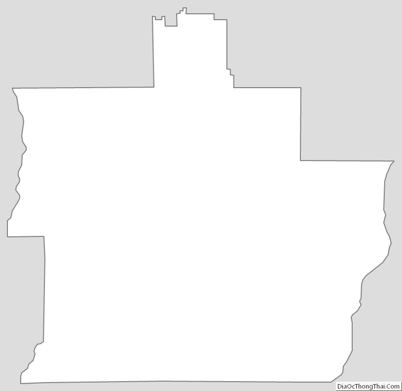
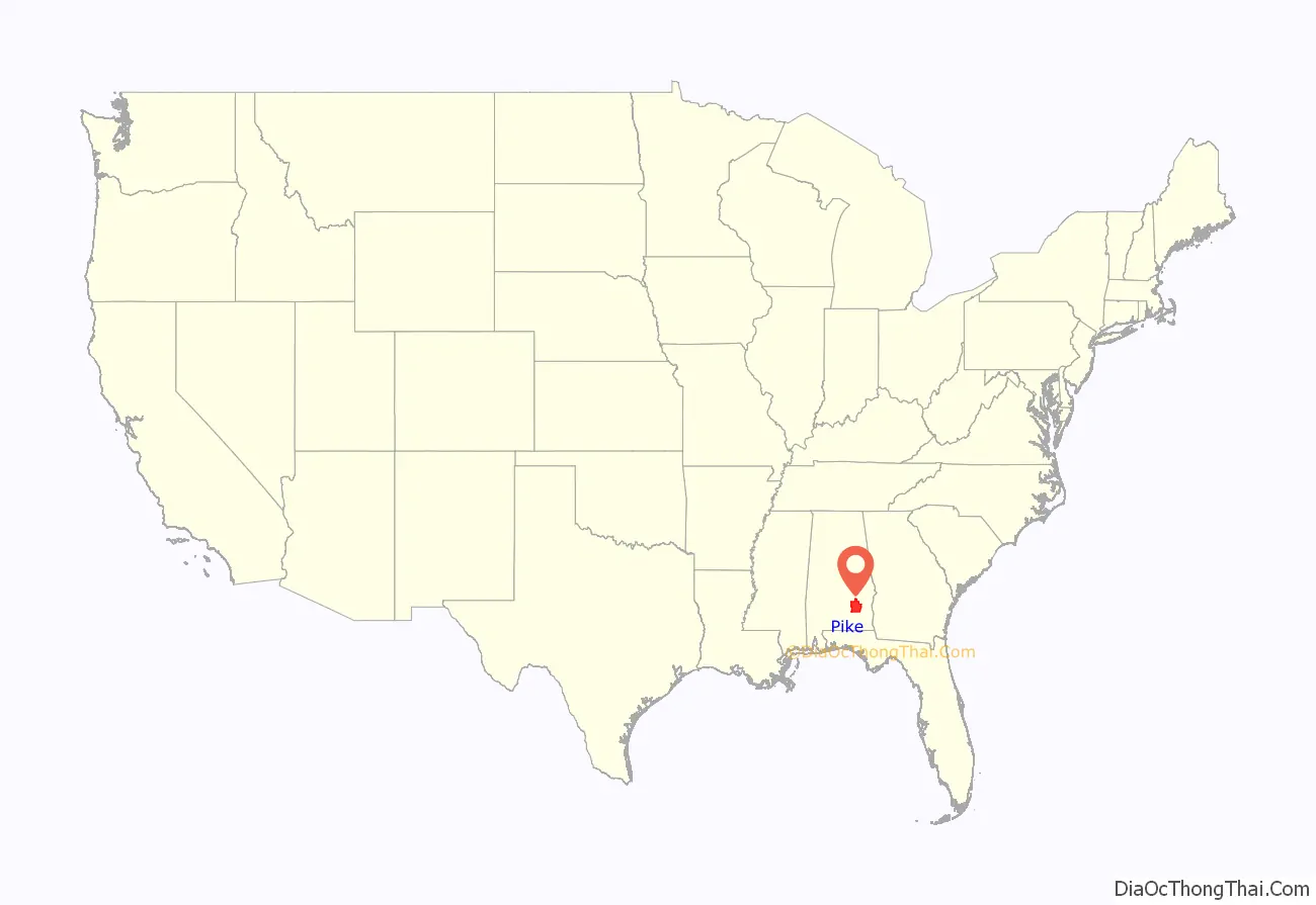
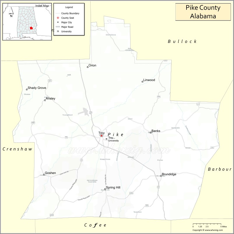
Pike County location map. Where is Pike County?
History
The area of present-day Pike County was inhabited by Native Americans from prehistoric times. Spain, France, and Great Britain all claimed the area, but except for scattered military outposts like Fort Toulouse near present-day Wetumpka, European inhabitants were concentrated along the Gulf Coast, with very few settling inland. In 1763, at the close of the French and Indian War, France ceded all the territories of New France (including what is now Pike County, Spanish claims notwithstanding) to the victorious British. In the same year, the Royal Proclamation of 1763 prohibited British subjects from settling in this area, which was reserved for the native peoples.
Between the years of 1767 and 1783, the area that is now Pike County was part of the colony of British West Florida, though still with nearly all whites concentrated in the settlements along the coast or near the Mississippi River. After the American victory in the Revolutionary War, the British ceded the territory to Spain, an American ally. However, Spain and the United States both claimed the region fell until Spain gave up its claims to the land north of the 31st parallel (present-day border of Alabama and Florida) in the Treaty of Madrid (1795). The United States organized the entire region north of that border and east of Georgia as the Mississippi Territory. In 1812, following the Louisiana Purchase, the United States unilaterally annexed the Mobile District from Spanish West Florida, most of the rest of which was acqurired with the Adams–Onís Treaty of 1819 (ratified 1821).
In 1817, the Mississippi Territory was divided, with the western part admitted to the Union as the State of Mississippi; the remainder was admitted as the State of Alabama in 1819, and was soon organized into counties. Pike County is one of the oldest in the state, organized on December 17, 1821. The temporary county seat was established at the house of Andrew Townsend. Pike County comprised a large tract of country, so large that it was called the State of Pike, including a part of what are now Crenshaw, Montgomery, Macon, Bullock, and Barbour counties, and extended to the Chattahoochee River on the east.
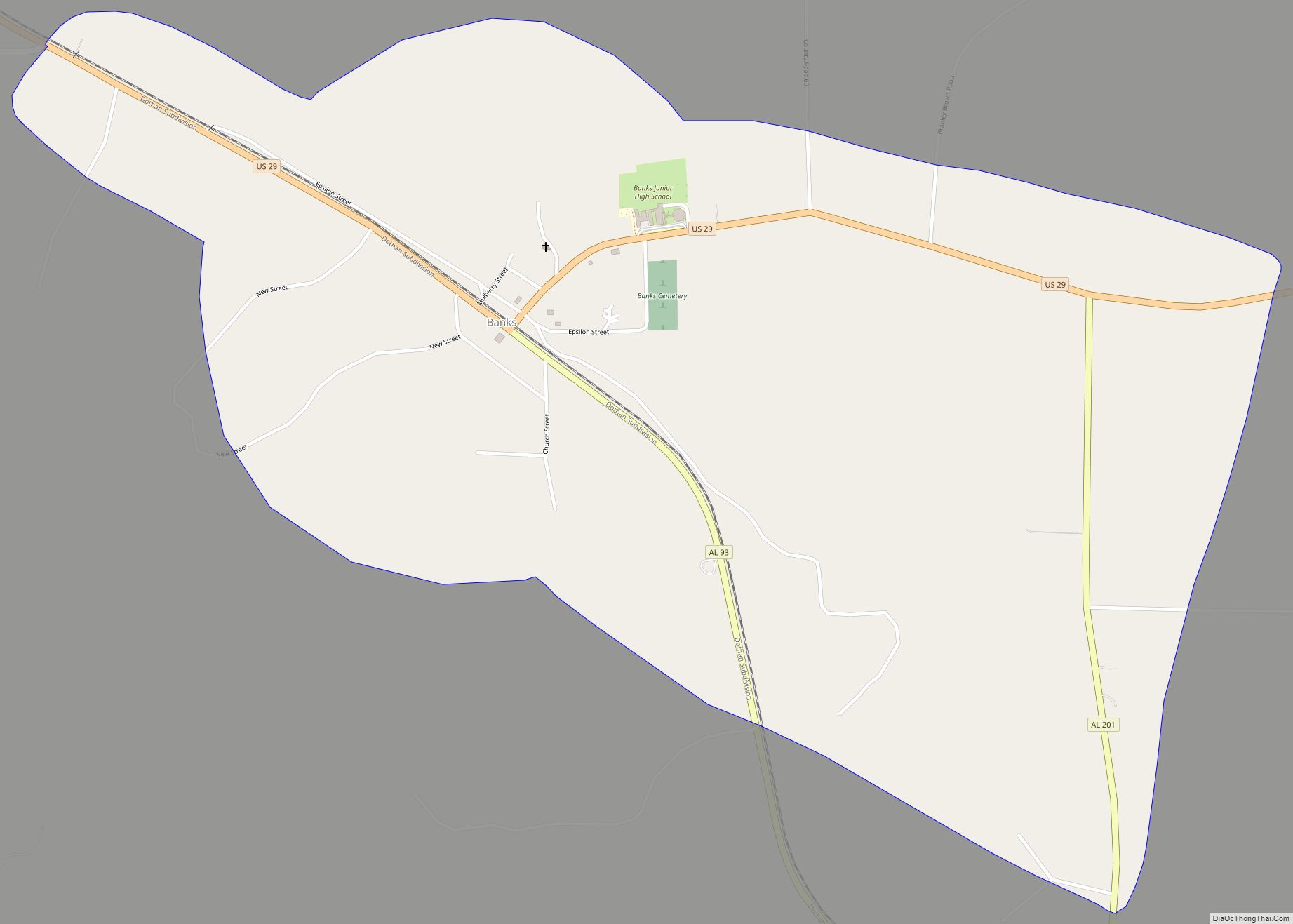
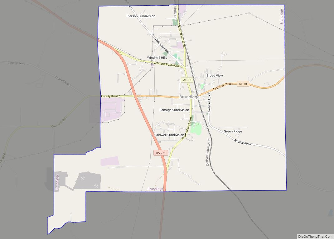
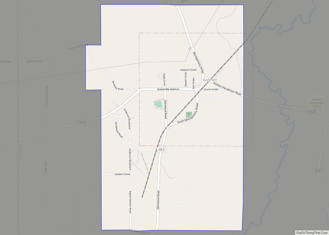
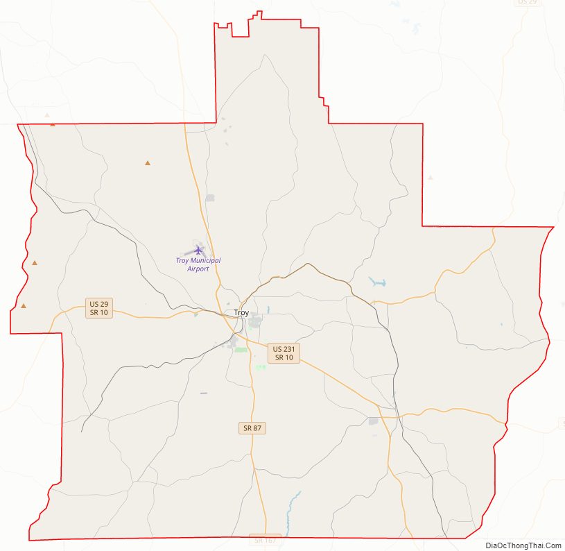
Pike County Road Map
Geography
According to the United States Census Bureau, the county has a total area of 673 square miles (1,740 km), of which 672 square miles (1,740 km) is land and 0.9 square miles (2.3 km) (0.1%) is water.
Major highways
- U.S. Highway 29
- U.S. Highway 231
- State Route 10
- State Route 87
- State Route 93
- State Route 125
- State Route 130
- State Route 167
- State Route 201
- State Route 223
Adjacent counties
- Bullock County (northeast)
- Barbour County (east)
- Dale County (southeast)
- Coffee County (south)
- Crenshaw County (west)
- Montgomery County (northwest)
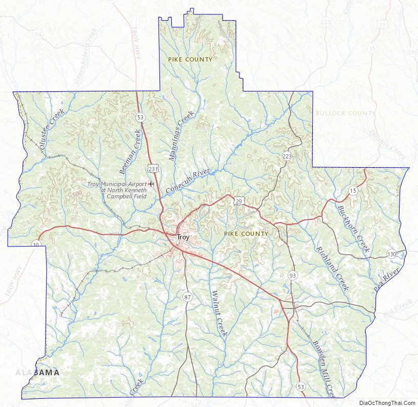
Pike County Topographic Map
Pike County Satellite Map
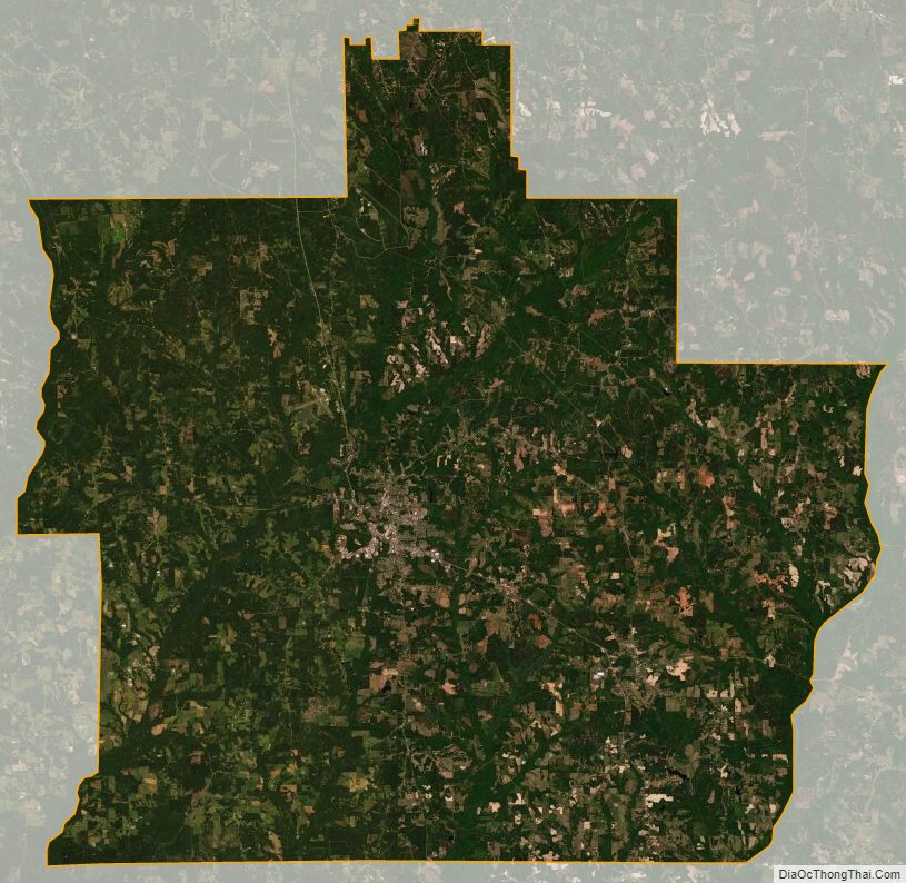
Pike County Outline Map