Muhlenberg County (/ˈmjuːlənbɜːrɡ/) is a county in the U.S. Commonwealth of Kentucky. As of the 2020 census, the population was 30,928. Its county seat is Greenville and its largest city is Central City.
| Name: | Muhlenberg County |
|---|---|
| FIPS code: | 21-177 |
| State: | Kentucky |
| Founded: | 1798 |
| Named for: | Peter Muhlenberg |
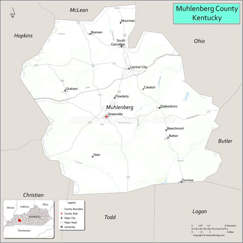
| Seat: | Greenville |
| Largest city: | Central City |
| Total Area: | 479 sq mi (1,240 km²) |
| Land Area: | 467 sq mi (1,210 km²) |
| Total Population: | 30,928 |
| Population Density: | 65/sq mi (25/km²) |
| Time zone: | UTC−6 (Central) |
| Summer Time Zone (DST): | UTC−5 (CDT) |
| Website: | www.muhlenbergcountyky.org |
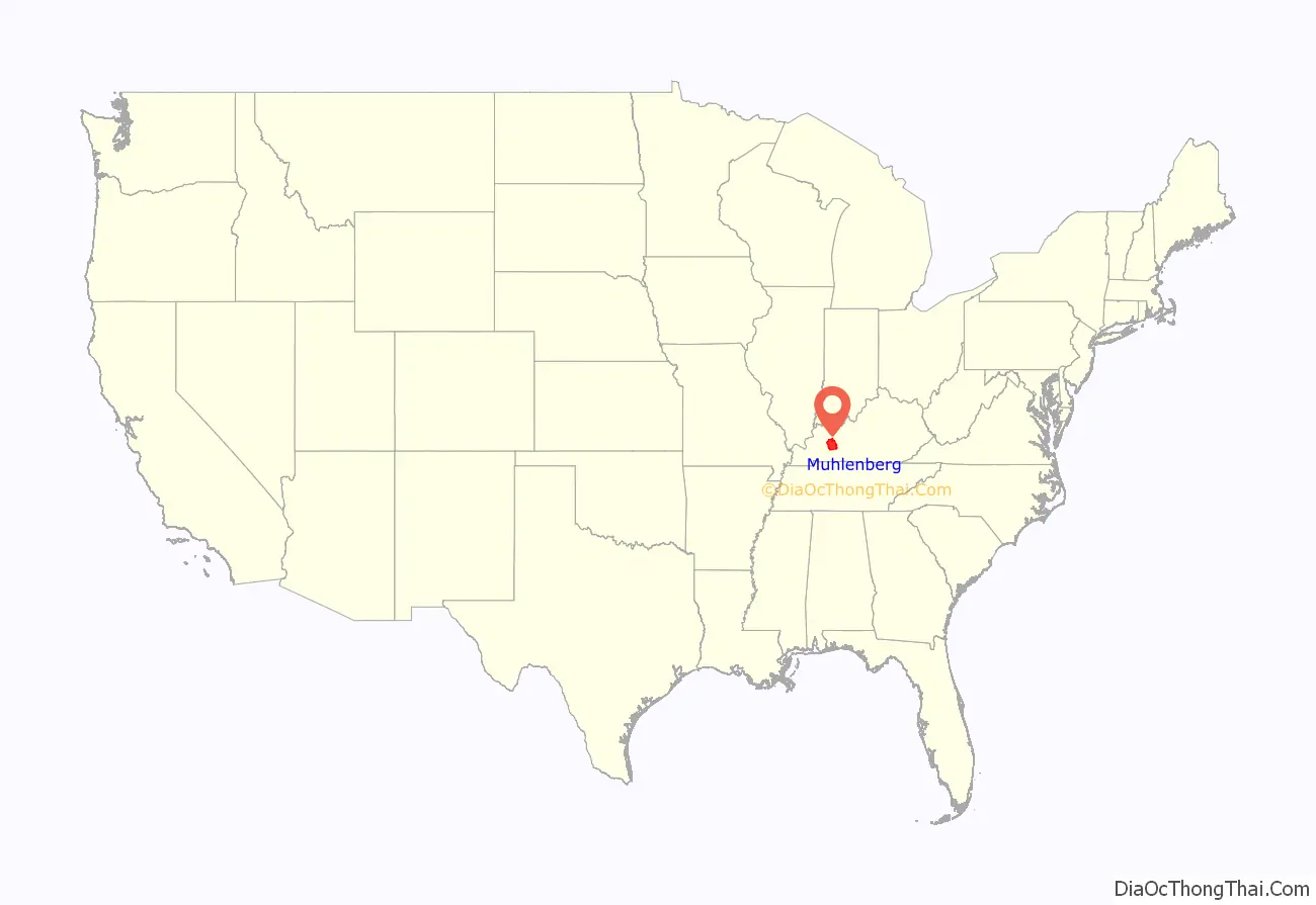
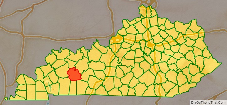
Muhlenberg County location map. Where is Muhlenberg County?
History
Muhlenberg County was formed in 1798 from the areas known as Logan and Christian counties. Muhlenberg was the 34th county to be founded in Kentucky. Muhlenberg was named after General Peter Muhlenberg, who was a colonial general during the American Revolutionary War.
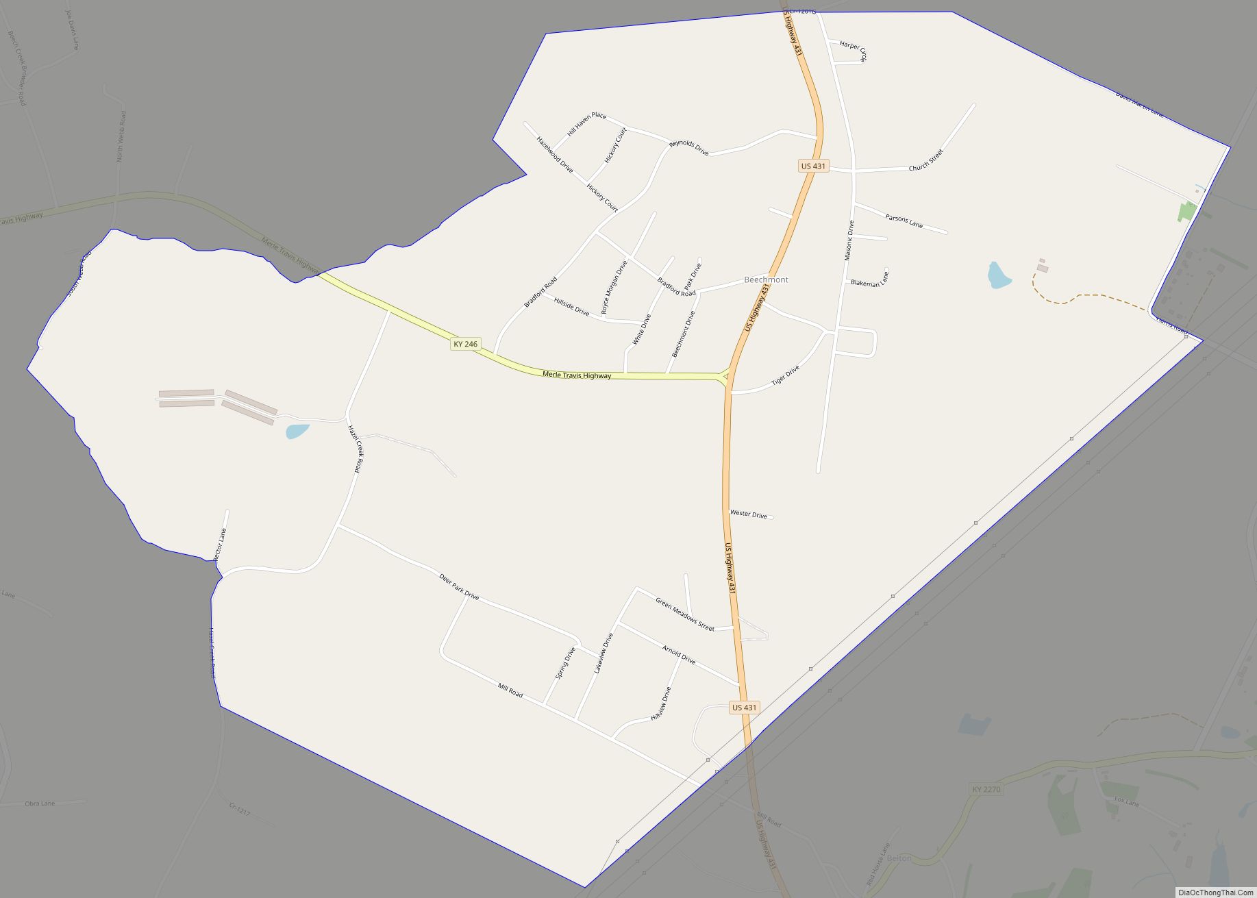
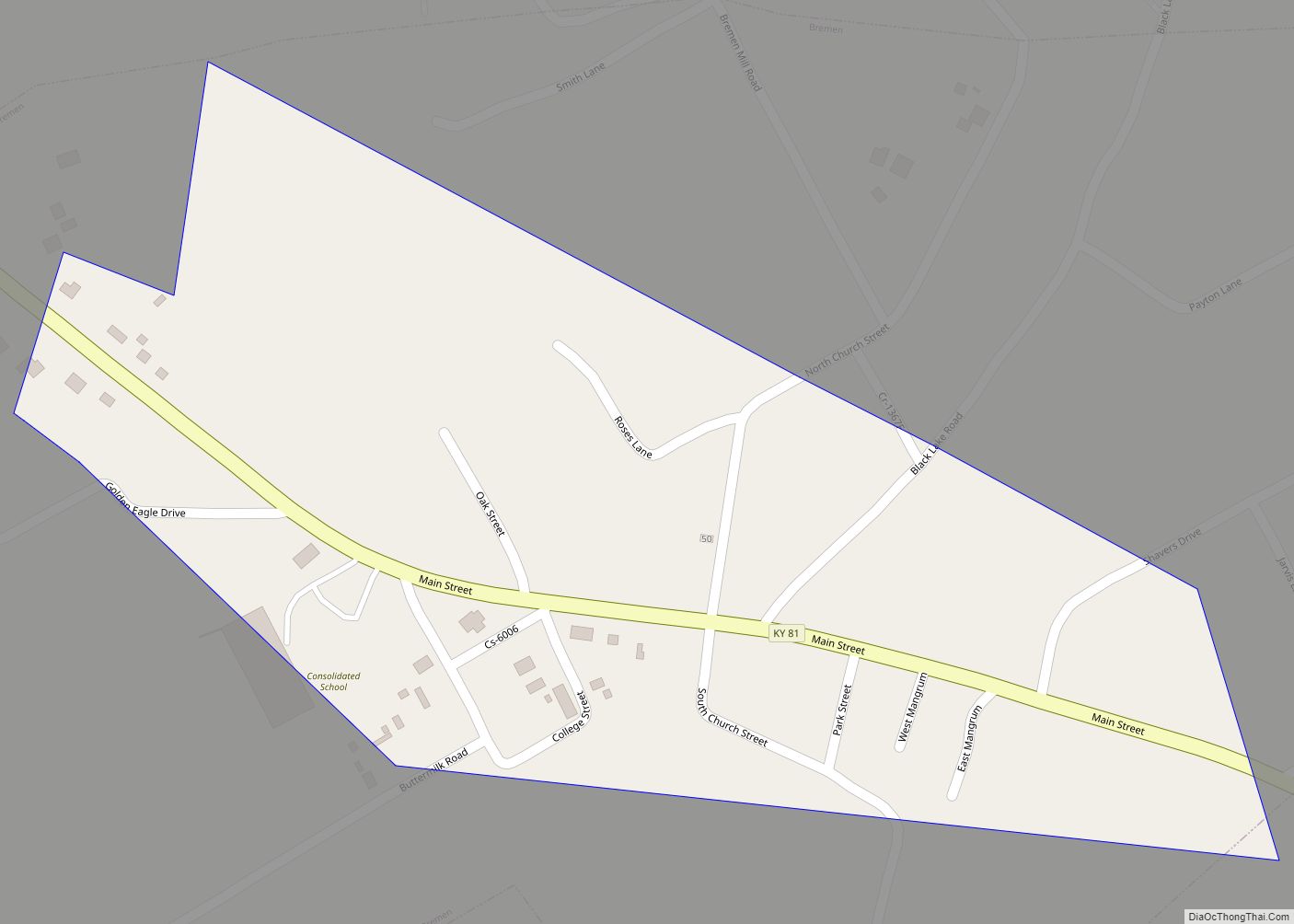
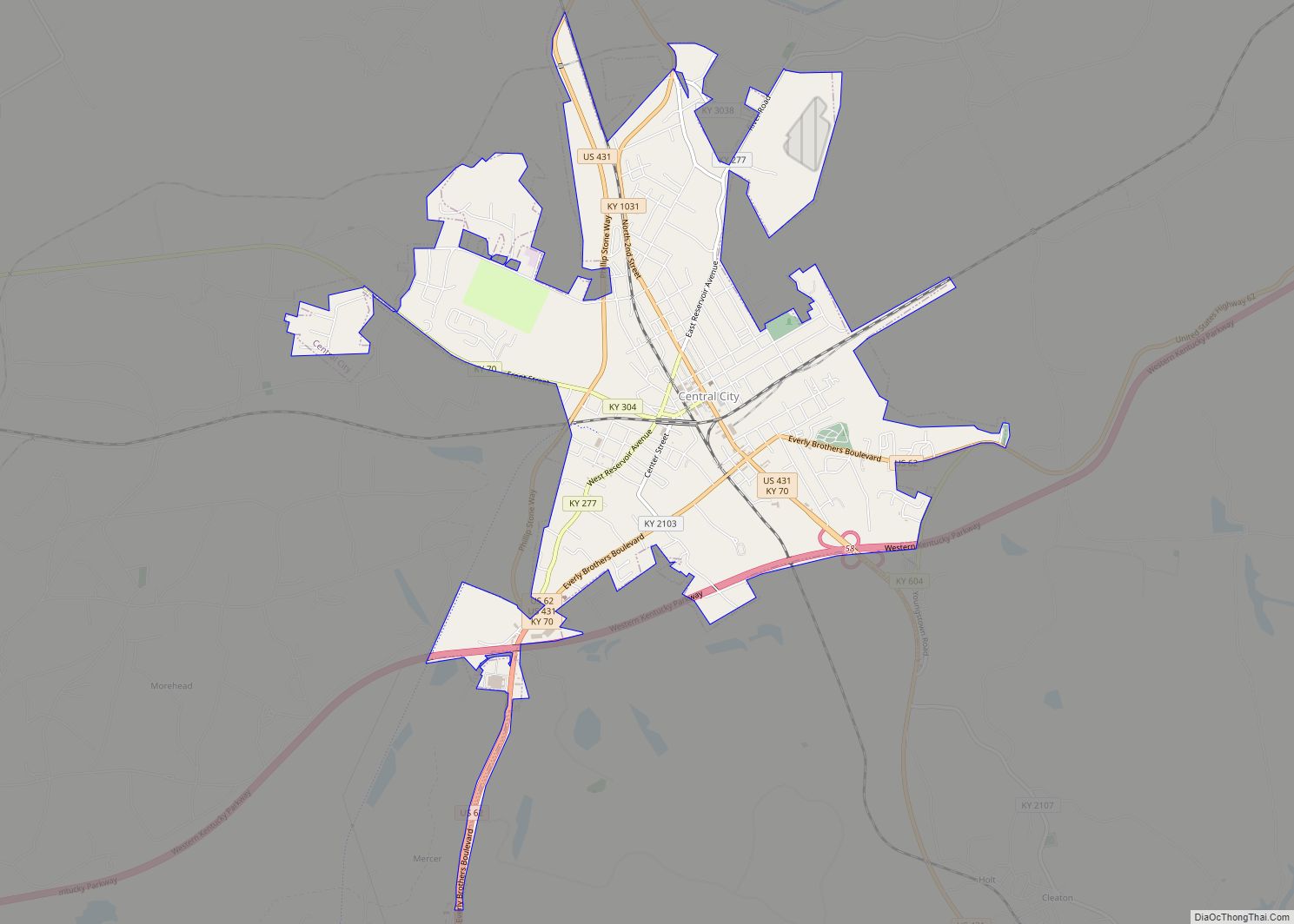
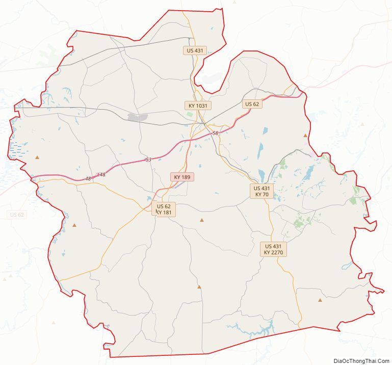
Muhlenberg County Road Map
Geography
According to the United States Census Bureau, the county has an area of 479 square miles (1,240 km), of which 467 square miles (1,210 km) is land and 12 square miles (31 km) (2.6%) is water.
Features
The two primary aquatic features of Muhlenberg County are the Green River and Lake Malone. The northern area of the county’s geography includes gently rolling hills, river flatlands, and some sizeable bald cypress swamps along Cypress Creek and its tributaries. The southern portion consists of rolling hills with higher relief. The southern part of the county is dotted with deep gorges. This area is known for many sandstone formations. Several north-south-oriented faults cross the county’s midpoint. Coal is found in these faults, across the county’s central part. Most remaining deposits reside deep underground; previous near-surface deposits have now been exhausted by strip mining. In former years, it was common to see machines such as the “Big Brother” Power Shovel (pictured on the right) throughout the county. During the 1970s and early 1980s, Muhlenberg County was the state leader in coal production and sometimes the top coal producer in the United States. Strip mining was criticized in the song “Paradise” by John Prine.
Sandstone is the county’s most abundant rock type, although limestone becomes more common toward the southern area of the county. Two mines for extracting iron ore have been attempted, at Old Airdrie on the banks of the Green River, and at Buckner Furnace south of Greenville, Kentucky. Both iron ore mines were extant in the late 19th century and early 20th century; neither were successful.
The 300 miles (483 km)-long Green River is a tributary of the Ohio River. It provides a commercial outlet for goods (primarily coal) to be shipped from the county to the major trade centers along the Mississippi River.
Lake Malone (788 acres (3.19 km)) is in southern Muhlenberg County near Dunmor. It, and a portion of the surrounding hardwood forest, form Lake Malone State Park, maintained by the Kentucky Department of Fish and Wildlife. The lake’s surface extends into two neighboring counties, Todd and Logan. There are sandstone cliffs and natural sandstone formations along the lake shore including a natural bridge, although the bridge itself is not inside the park boundary.
Adjacent counties
- McLean County (north)
- Ohio County (northeast)
- Butler County (east)
- Logan County (southeast)
- Todd County (south)
- Christian County (southwest)
- Hopkins County (west)
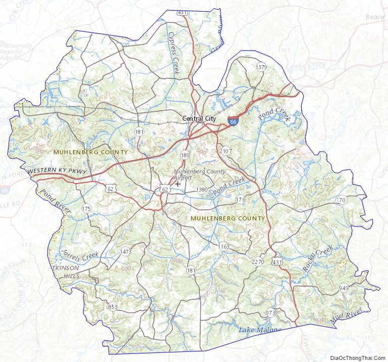
Muhlenberg County Topographic Map
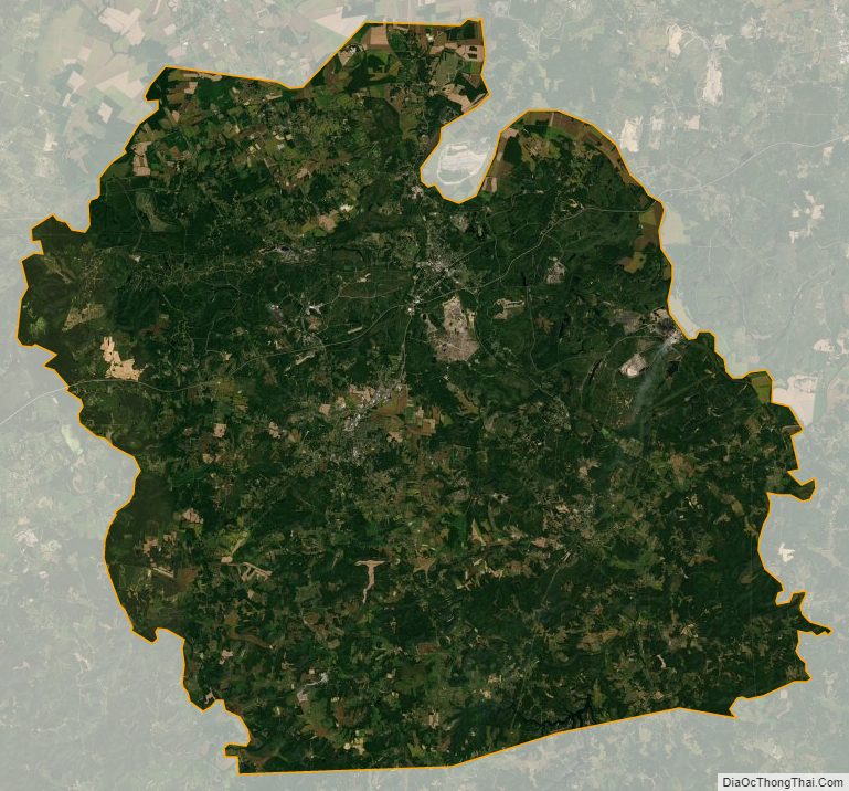
Muhlenberg County Satellite Map
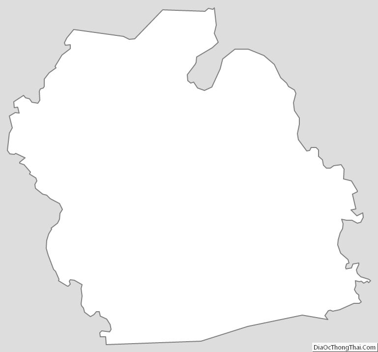
Muhlenberg County Outline Map