San Andreas (Spanish for “St. Andrew”) is an unincorporated census-designated place and the county seat of Calaveras County, California. The population was 2,783 at the 2010 census, up from 2,615 at the 2000 census. Like most towns in the region, it was founded during the California Gold Rush. The town is located on State Route 49 and is registered as California Historical Landmark #252.
| Name: | San Andreas CDP |
|---|---|
| LSAD Code: | 57 |
| LSAD Description: | CDP (suffix) |
| State: | California |
| County: | Calaveras County |
| Elevation: | 926 ft (268 m) |
| Total Area: | 8.394 sq mi (21.741 km²) |
| Land Area: | 8.378 sq mi (21.700 km²) |
| Water Area: | 0.016 sq mi (0.041 km²) 0.19% |
| Total Population: | 2,783 |
| Population Density: | 330/sq mi (130/km²) |
| ZIP code: | 95249-95250 |
| Area code: | 209 |
| FIPS code: | 0664420 |
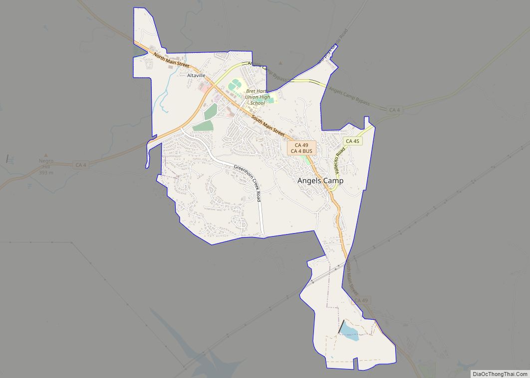
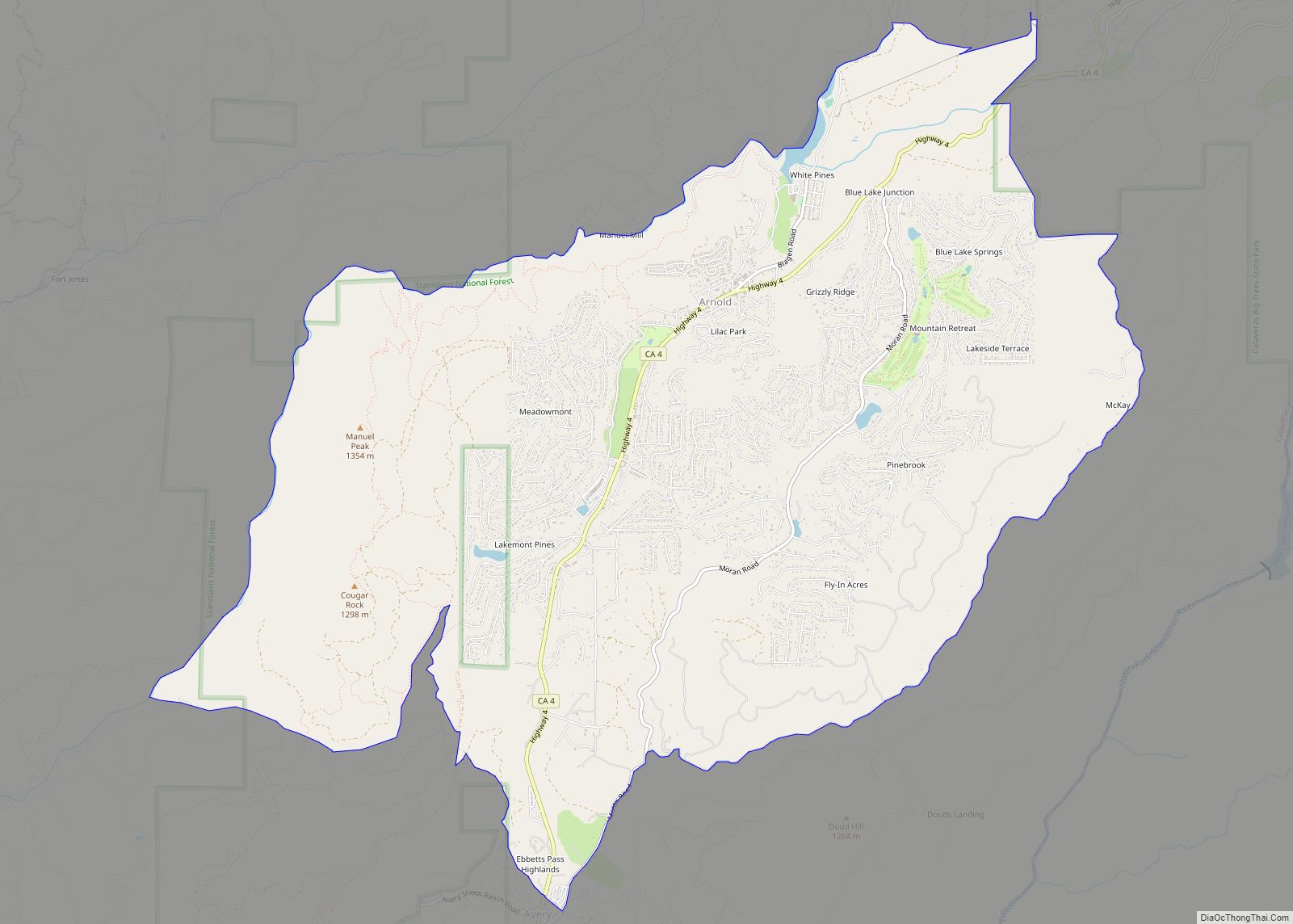
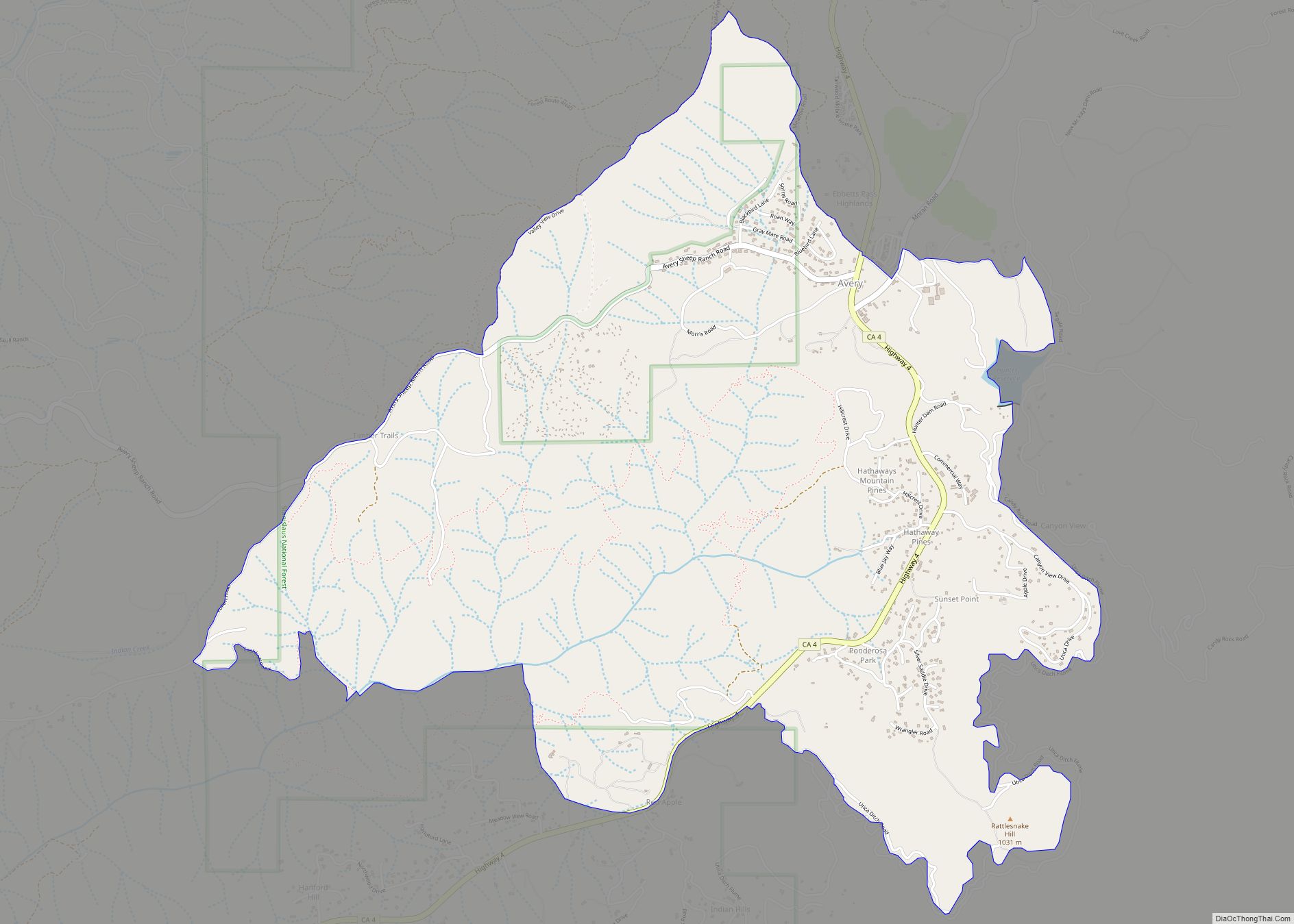
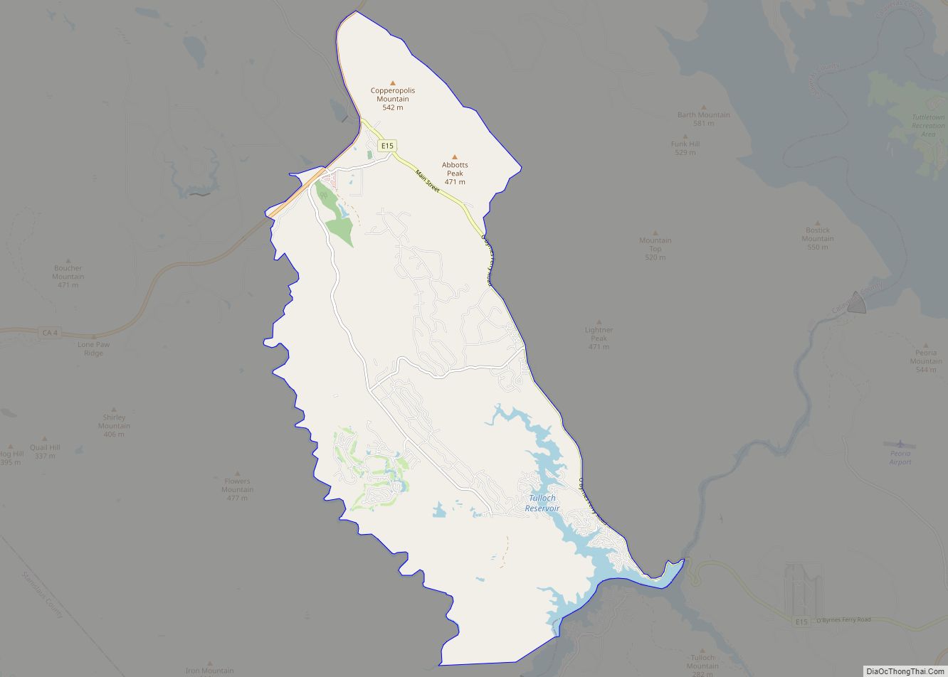
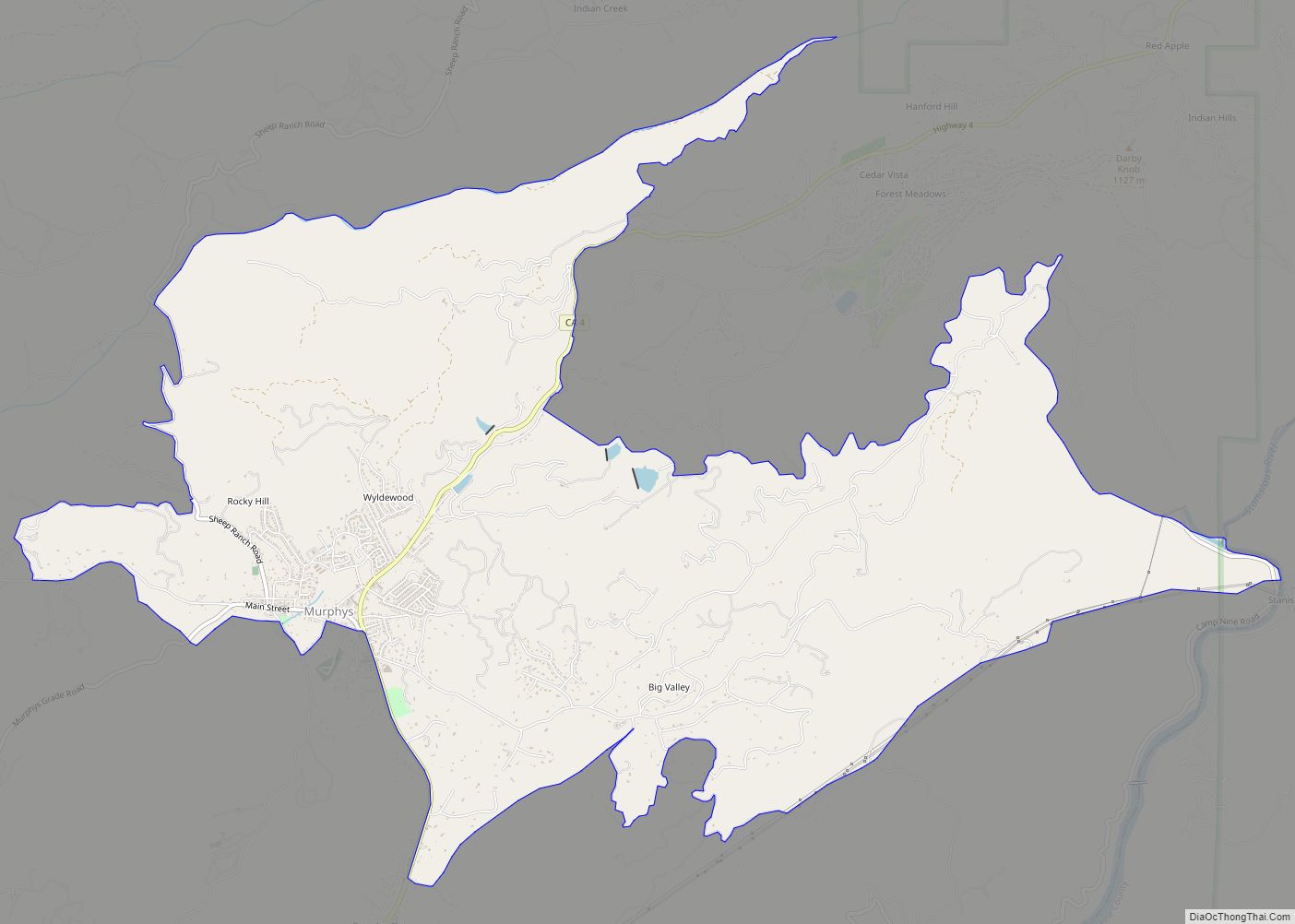
Online Interactive Map
Click on ![]() to view map in "full screen" mode.
to view map in "full screen" mode.
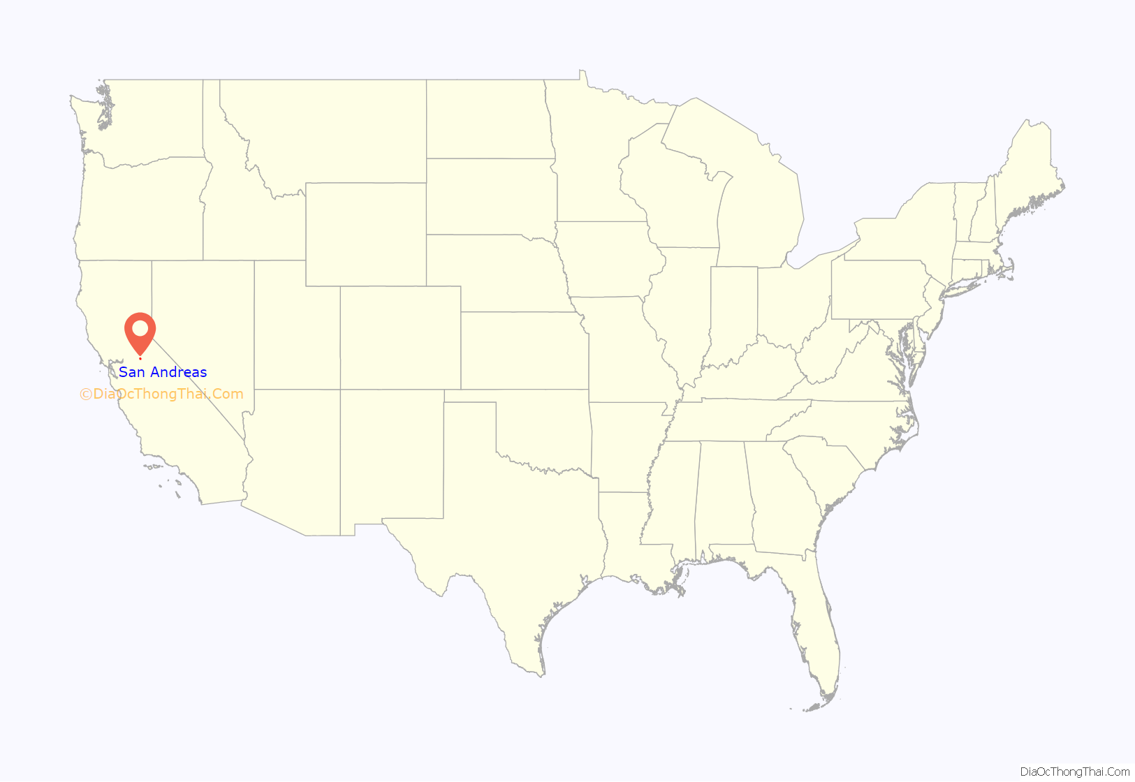
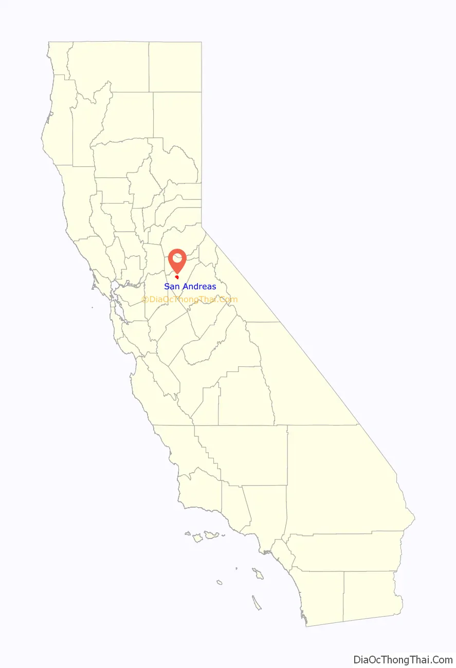
San Andreas location map. Where is San Andreas CDP?
History
Settled by Mexican gold miners in 1848 and named after the Catholic parish St. Andrew, the town has been a noted mining camp since early days. It existed as a tent city for the first few years, and even included a tent church. A few miles outside of town is the Pioneer Cemetery, established in c. 1851.
In August 1982, a nugget of gold was found here and was sold to Wells Fargo & Co. for US $12,000. The gold from the initially discovered placers gave out after a few years, but the discovery of gold in an underground river channel in 1853 revitalized the camp and it soon became a town. Mining of the channels was lucrative enough for the town to completely rebuild after fires in 1858 and 1863. The gold discovered here contributed greatly to the success of the Union during the Civil War.
In 1866, San Andreas became the seat of Calaveras County. It was said to be a rendezvous location for Joaquin Murrieta. Notorious highwayman Black Bart was tried here and sent to prison.
The post office was established in 1854.
San Andreas Road Map
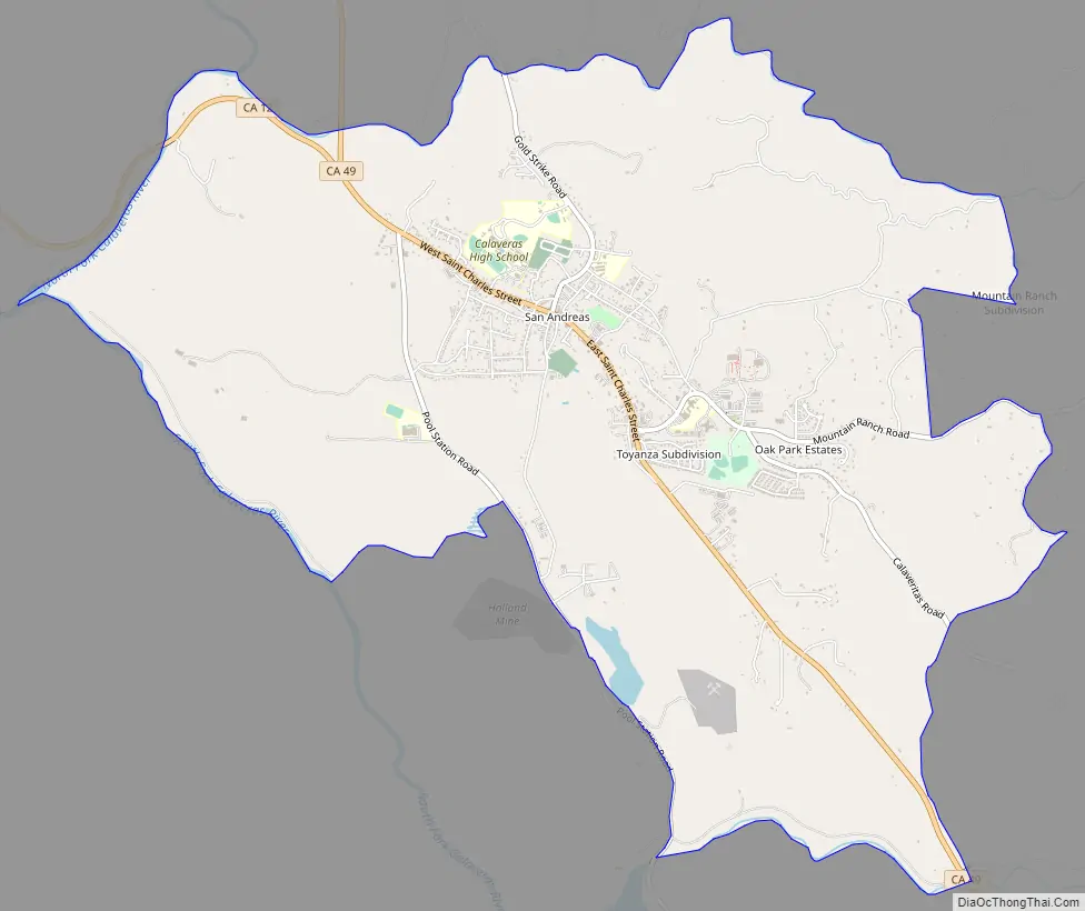
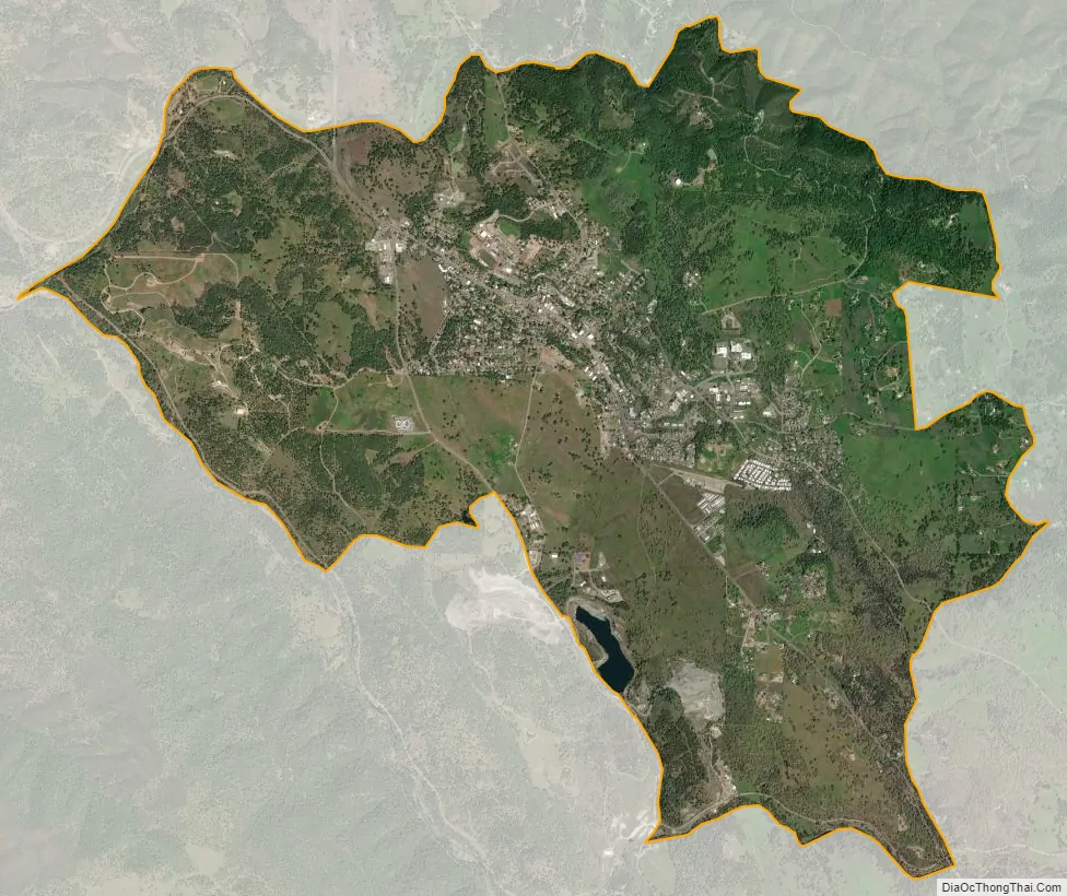
San Andreas city Satellite Map
Geography
According to the United States Census Bureau, the CDP has a total area of 8.4 square miles (22 km), of which, 99.81% is land and 0.19% is water.
Climate
San Andreas has a Mediterranean climate typical of the Sierra Nevada foothills. Winters are cool and wet with mild days, chilly nights, and substantial rainfall. Summers are hot and dry with very hot days, cool nights, and minimal rainfall. Due to the orographic effect, rainfall in all seasons is significantly greater than on the valley floor to the west.
See also
Map of California State and its subdivision:- Alameda
- Alpine
- Amador
- Butte
- Calaveras
- Colusa
- Contra Costa
- Del Norte
- El Dorado
- Fresno
- Glenn
- Humboldt
- Imperial
- Inyo
- Kern
- Kings
- Lake
- Lassen
- Los Angeles
- Madera
- Marin
- Mariposa
- Mendocino
- Merced
- Modoc
- Mono
- Monterey
- Napa
- Nevada
- Orange
- Placer
- Plumas
- Riverside
- Sacramento
- San Benito
- San Bernardino
- San Diego
- San Francisco
- San Joaquin
- San Luis Obispo
- San Mateo
- Santa Barbara
- Santa Clara
- Santa Cruz
- Shasta
- Sierra
- Siskiyou
- Solano
- Sonoma
- Stanislaus
- Sutter
- Tehama
- Trinity
- Tulare
- Tuolumne
- Ventura
- Yolo
- Yuba
- Alabama
- Alaska
- Arizona
- Arkansas
- California
- Colorado
- Connecticut
- Delaware
- District of Columbia
- Florida
- Georgia
- Hawaii
- Idaho
- Illinois
- Indiana
- Iowa
- Kansas
- Kentucky
- Louisiana
- Maine
- Maryland
- Massachusetts
- Michigan
- Minnesota
- Mississippi
- Missouri
- Montana
- Nebraska
- Nevada
- New Hampshire
- New Jersey
- New Mexico
- New York
- North Carolina
- North Dakota
- Ohio
- Oklahoma
- Oregon
- Pennsylvania
- Rhode Island
- South Carolina
- South Dakota
- Tennessee
- Texas
- Utah
- Vermont
- Virginia
- Washington
- West Virginia
- Wisconsin
- Wyoming