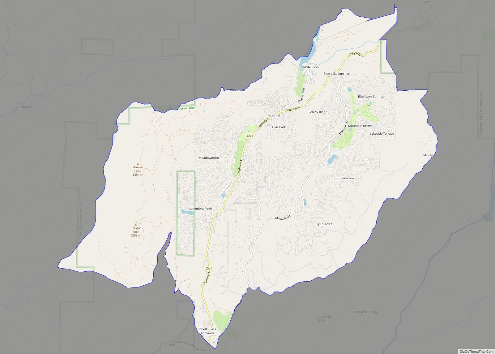
Arnold is a census-designated place (CDP) in Calaveras County, California, United States. The population was 3,843 at the 2010 census, down from 4,218 at the 2000 census. Arnold is located on State Route 4.
| Name: | Arnold CDP |
|---|---|
| LSAD Code: | 57 |
| LSAD Description: | CDP (suffix) |
| State: | California |
| County: | Calaveras County |
| Elevation: | 4,000 ft (1,219 m) |
| Total Area: | 9.13 sq mi (23.65 km²) |
| Land Area: | 9.07 sq mi (23.48 km²) |
| Water Area: | 0.07 sq mi (0.17 km²) 0.42% |
| Total Population: | 3,288 |
| Population Density: | 362.63/sq mi (140.02/km²) |
| ZIP code: | 95223 |
| Area code: | 209 |
| FIPS code: | 0602770 |
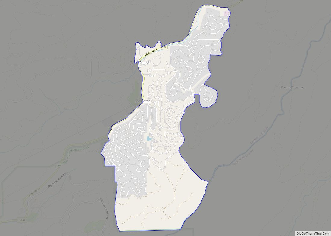
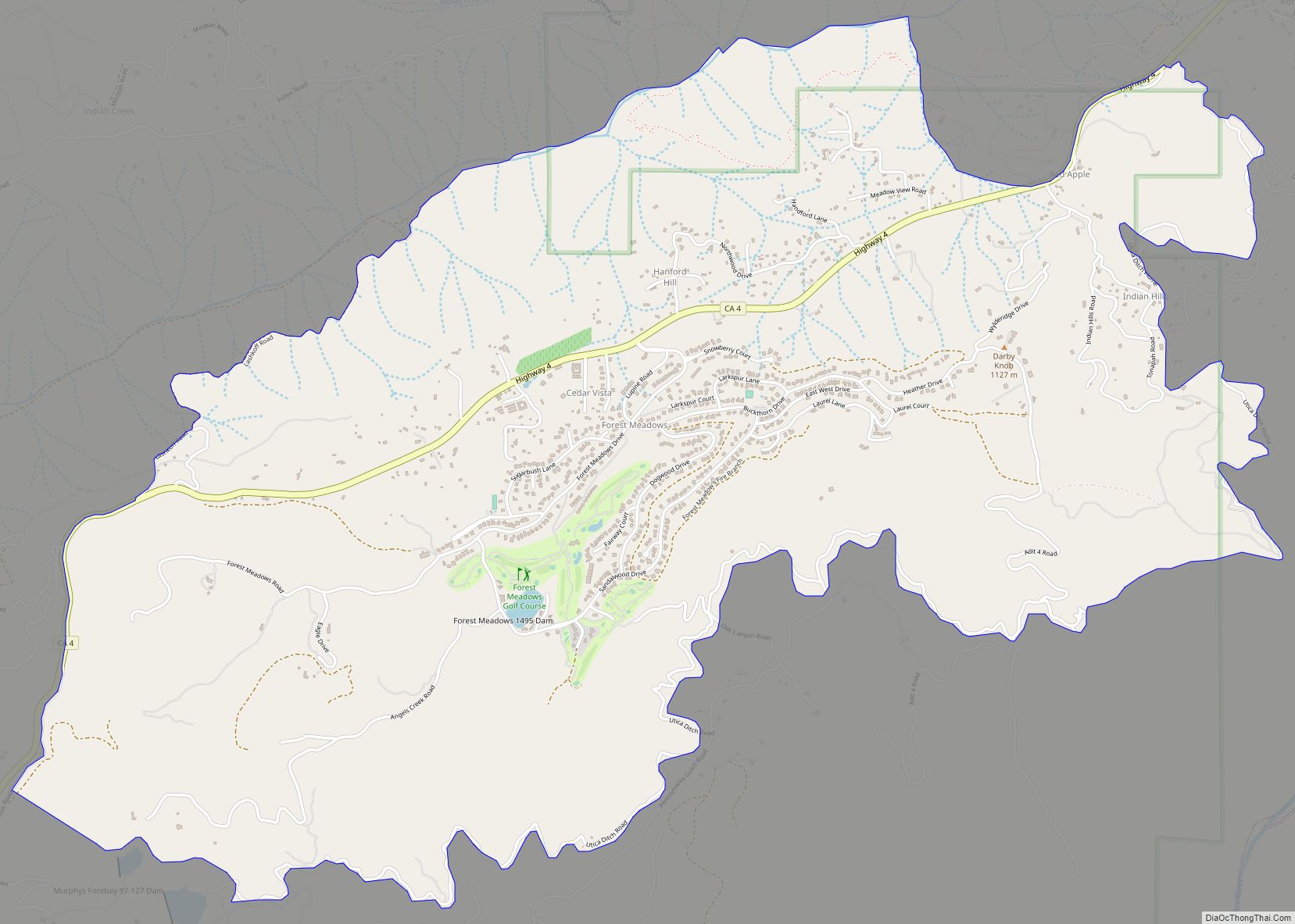
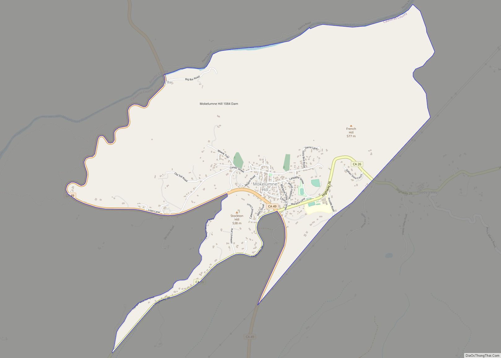
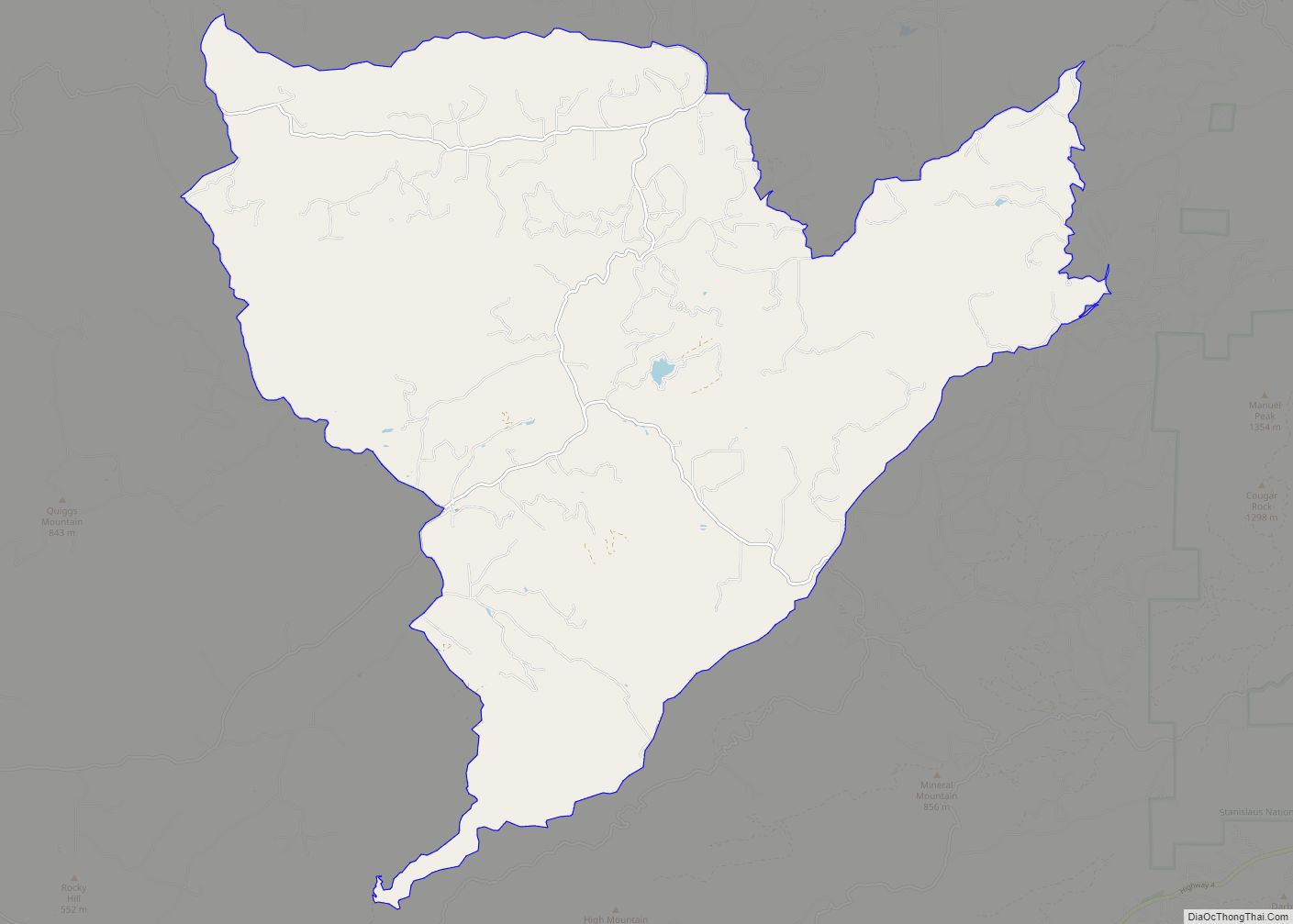
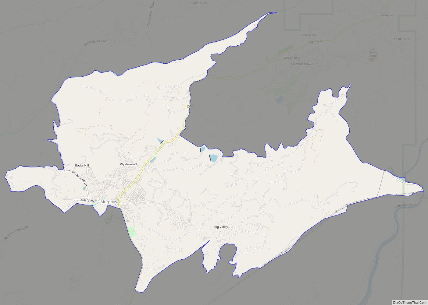
Online Interactive Map
Click on ![]() to view map in "full screen" mode.
to view map in "full screen" mode.
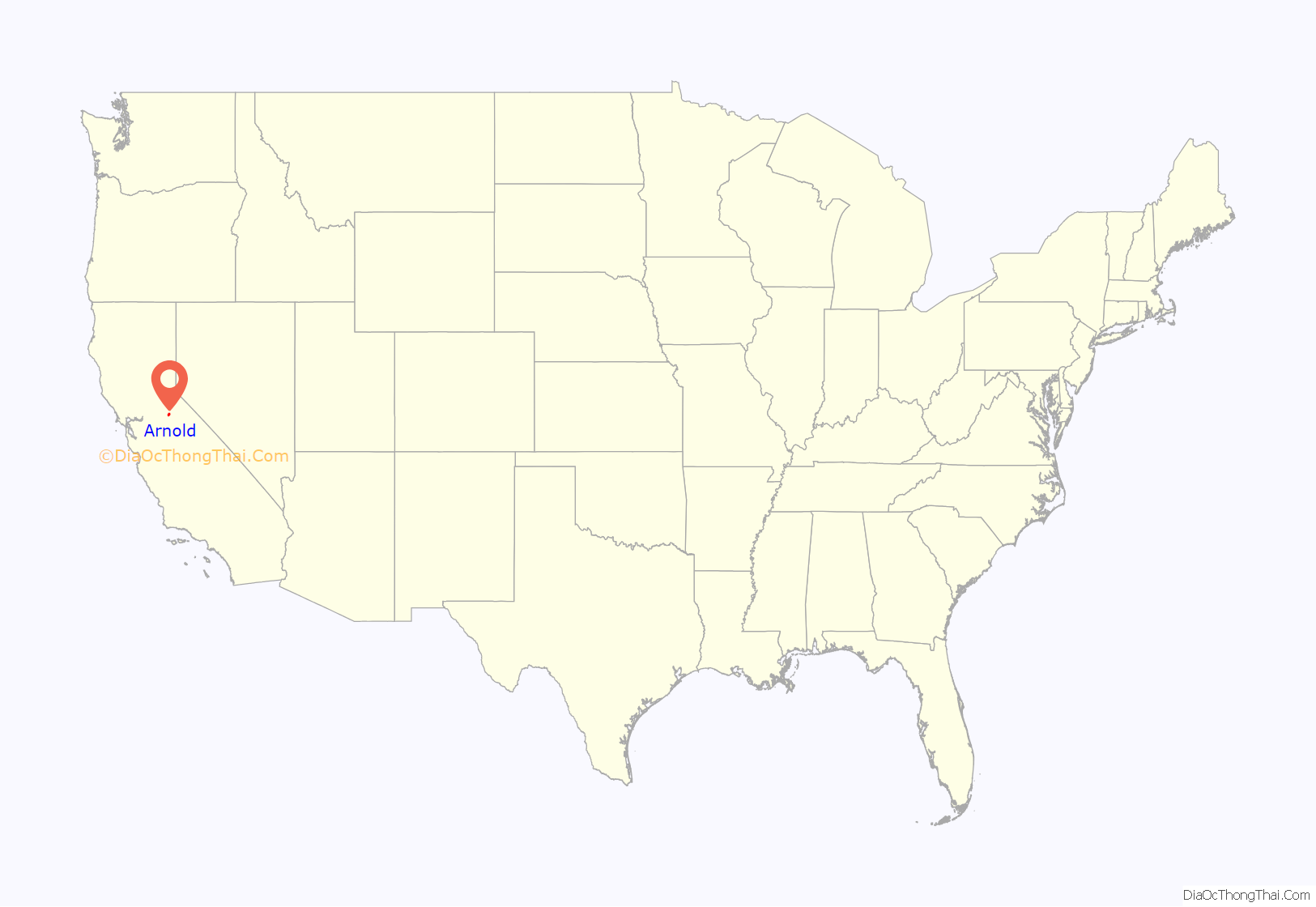
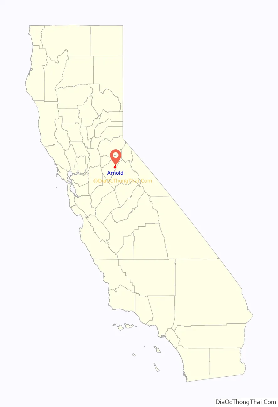
Arnold location map. Where is Arnold CDP?
History
Arnold is named after Bob and Bernice Arnold, who, in 1927 opened the Ebbetts Pass Inn. Prior to that, the community consisted of two large ranches where logging was the main industry. The inn served as a stop for people traveling along the Ebbetts Pass route as well as lodging for those visiting nearby Calaveras Big Trees State Park. In 1928, Camp Wolfeboro was established nearby as a Boy Scout camp and continues to be in operation today. The first post office was opened in 1934. Bernice was its postmistress at one time.
In 2015 power lines sparked the Butte Fire, which destroyed 549 homes in nearby communities. Arnold was saved when the weather changed, but the fire caused an increased focus on fire safety, although the community was still, in 2019, considered a “very high fire hazard severity zone” due to its location on a ridge outside Calaveras Big Trees State Park, surrounded by dense forest of trees killed by drought and beetles.
Arnold Road Map
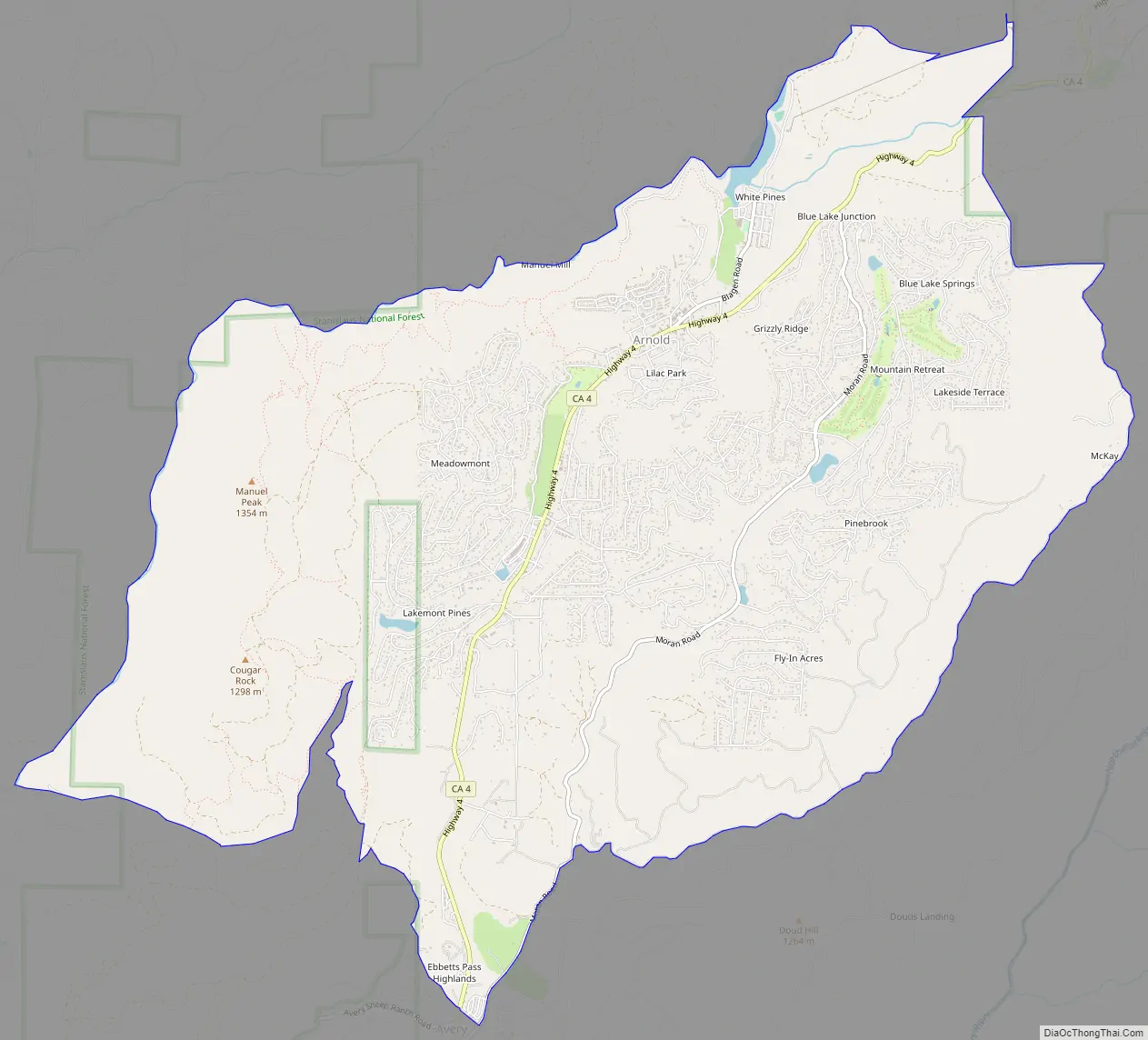
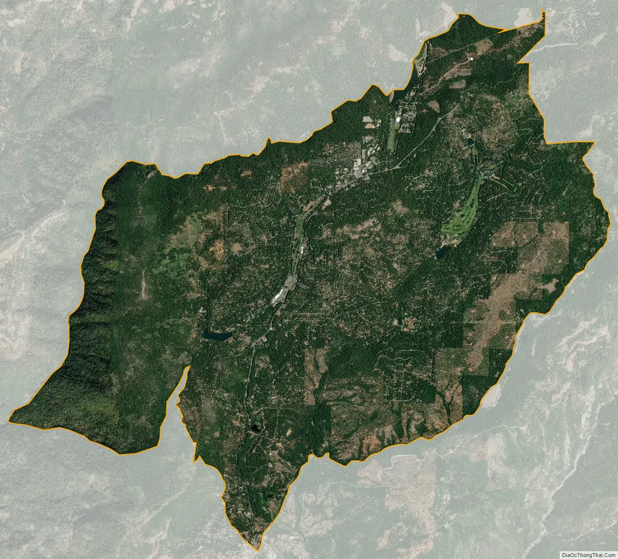
Arnold city Satellite Map
Geography
According to the United States Census Bureau, the CDP has a total area of 14.9 square miles (39 km), of which, 14.8 square miles (38 km) of it is land and 0.1 square miles (0.26 km) of it (0.47%) is water.
Arnold is considered at high risk of wildfire by CalFire due to its forested ridgetop location with powerful wind gusts up brushy canyons.
Climate
Area has a Köppen Climate Classification of Csb, which is a dry-summer subtropical climate often referred to as “Mediterranean”.
See also
Map of California State and its subdivision:- Alameda
- Alpine
- Amador
- Butte
- Calaveras
- Colusa
- Contra Costa
- Del Norte
- El Dorado
- Fresno
- Glenn
- Humboldt
- Imperial
- Inyo
- Kern
- Kings
- Lake
- Lassen
- Los Angeles
- Madera
- Marin
- Mariposa
- Mendocino
- Merced
- Modoc
- Mono
- Monterey
- Napa
- Nevada
- Orange
- Placer
- Plumas
- Riverside
- Sacramento
- San Benito
- San Bernardino
- San Diego
- San Francisco
- San Joaquin
- San Luis Obispo
- San Mateo
- Santa Barbara
- Santa Clara
- Santa Cruz
- Shasta
- Sierra
- Siskiyou
- Solano
- Sonoma
- Stanislaus
- Sutter
- Tehama
- Trinity
- Tulare
- Tuolumne
- Ventura
- Yolo
- Yuba
- Alabama
- Alaska
- Arizona
- Arkansas
- California
- Colorado
- Connecticut
- Delaware
- District of Columbia
- Florida
- Georgia
- Hawaii
- Idaho
- Illinois
- Indiana
- Iowa
- Kansas
- Kentucky
- Louisiana
- Maine
- Maryland
- Massachusetts
- Michigan
- Minnesota
- Mississippi
- Missouri
- Montana
- Nebraska
- Nevada
- New Hampshire
- New Jersey
- New Mexico
- New York
- North Carolina
- North Dakota
- Ohio
- Oklahoma
- Oregon
- Pennsylvania
- Rhode Island
- South Carolina
- South Dakota
- Tennessee
- Texas
- Utah
- Vermont
- Virginia
- Washington
- West Virginia
- Wisconsin
- Wyoming