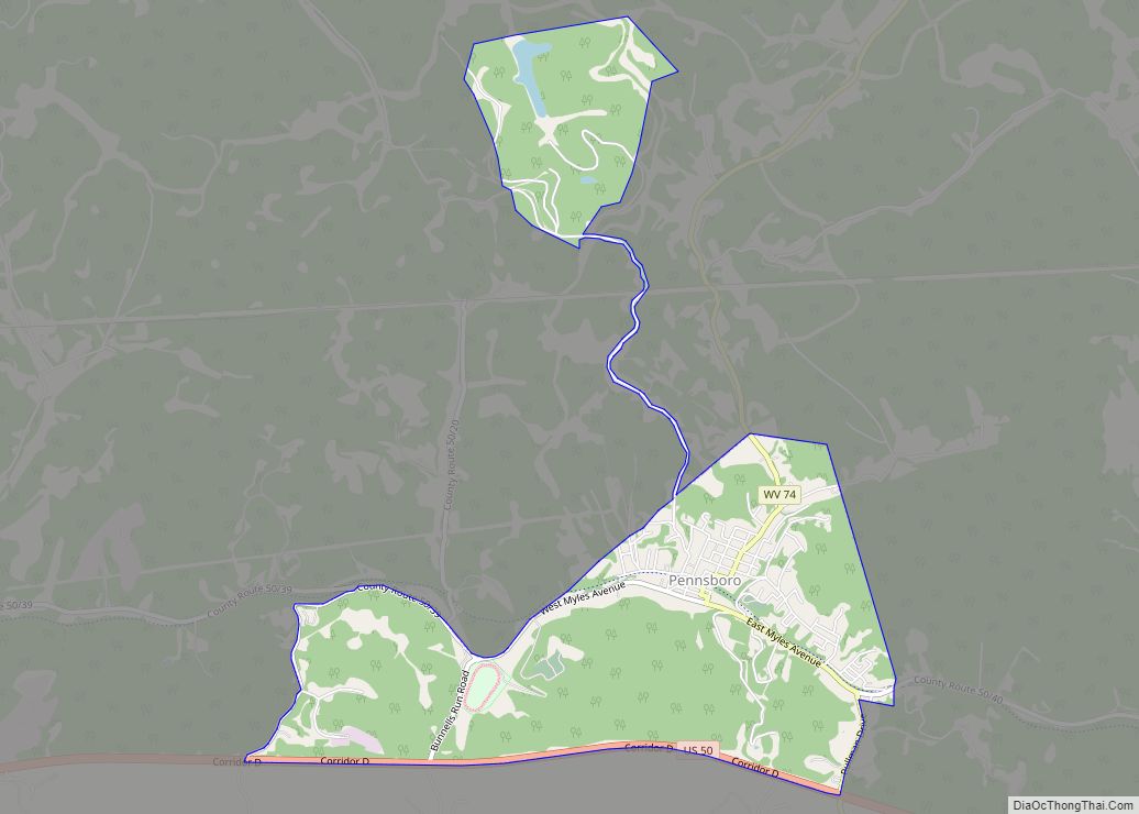
Ritchie County is a county in the U.S. state of West Virginia. As of the 2020 census, the population was 8,444. Its county seat is Harrisville. The county was created in 1843 by the Virginia General Assembly and named for Richmond newspaper publisher Thomas Ritchie.
| Name: | Ritchie County |
|---|---|
| FIPS code: | 54-085 |
| State: | West Virginia |
| Founded: | February 18, 1843 |
| Named for: | Thomas Ritchie |
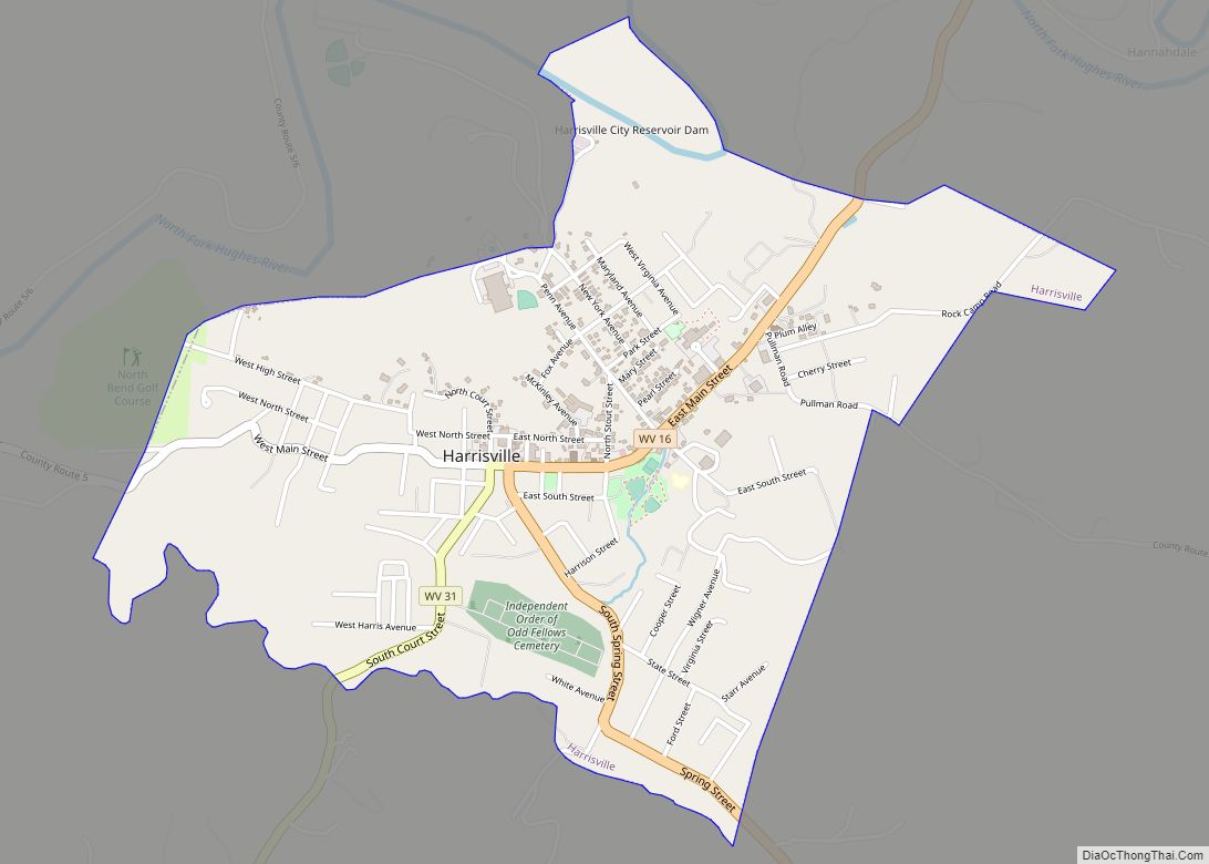
| Seat: | Harrisville |
| Largest town: | Harrisville |
| Total Area: | 454 sq mi (1,180 km²) |
| Land Area: | 452 sq mi (1,170 km²) |
| Total Population: | 8,444 |
| Population Density: | 19/sq mi (7.2/km²) |
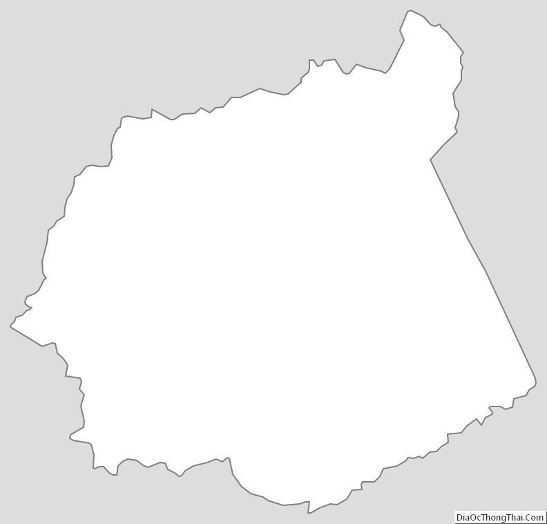
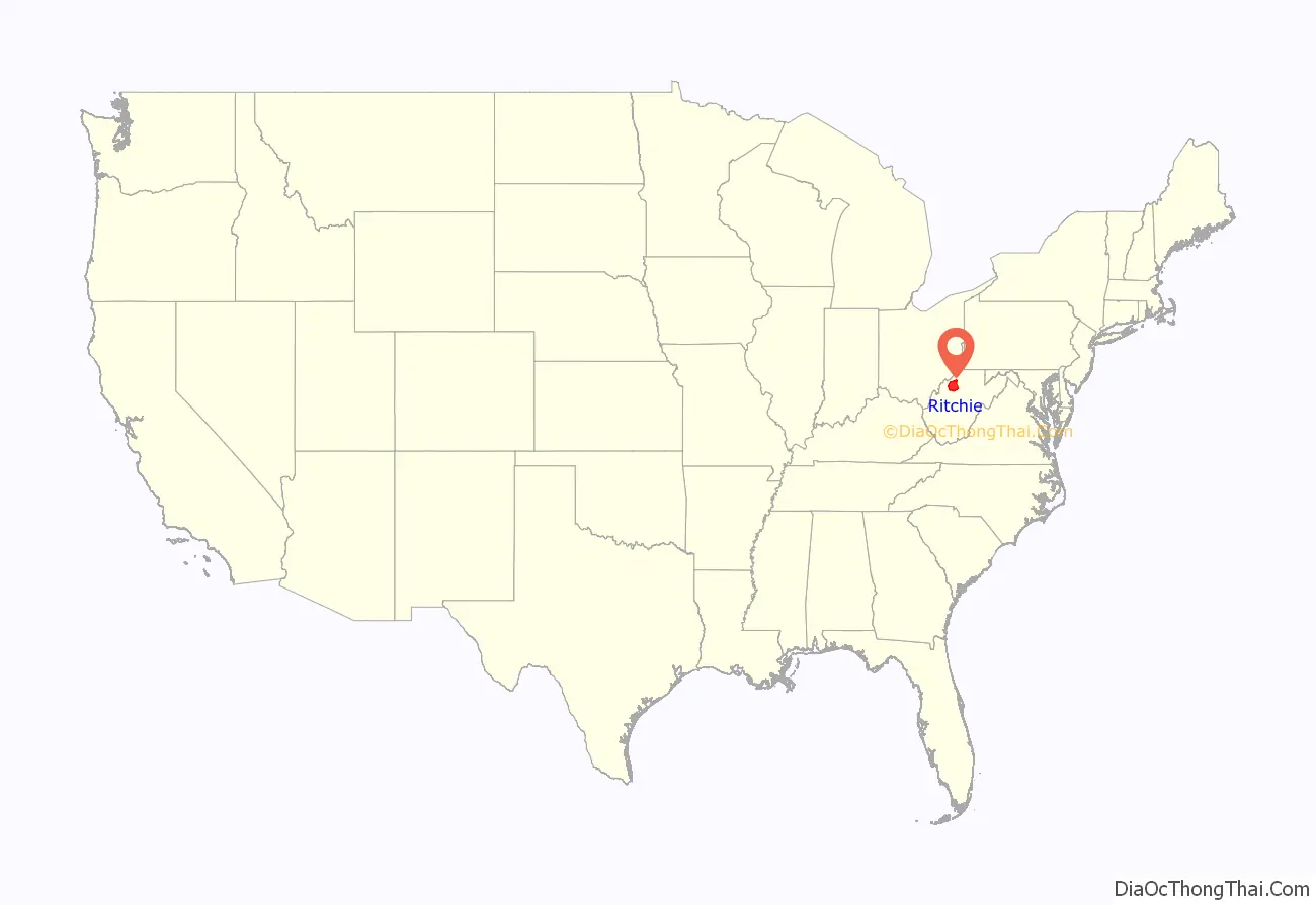
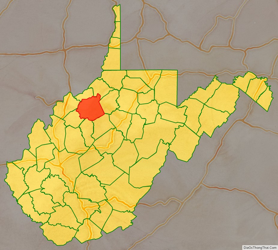
Ritchie County location map. Where is Ritchie County?
History
Ritchie was one of fifty Virginia counties that were admitted to the Union as the state of West Virginia on June 20, 1863, at the height of the Civil War. Later that year, the new state’s counties were divided into civil townships, with the intention of encouraging local government. This proved impractical in the heavily rural state, and in 1872 the townships were converted into magisterial districts. Ritchie County was divided into four districts: Clay, Grant, Murphy, and Union.
In 1911, historian Minnie Kendall Lowther published “The History of Ritchie County.” Her book is still regarded as one of the most comprehensive histories of any county in West Virginia.
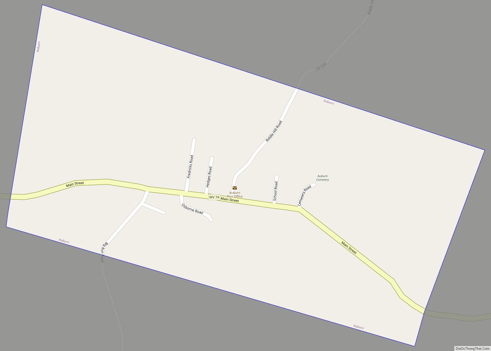
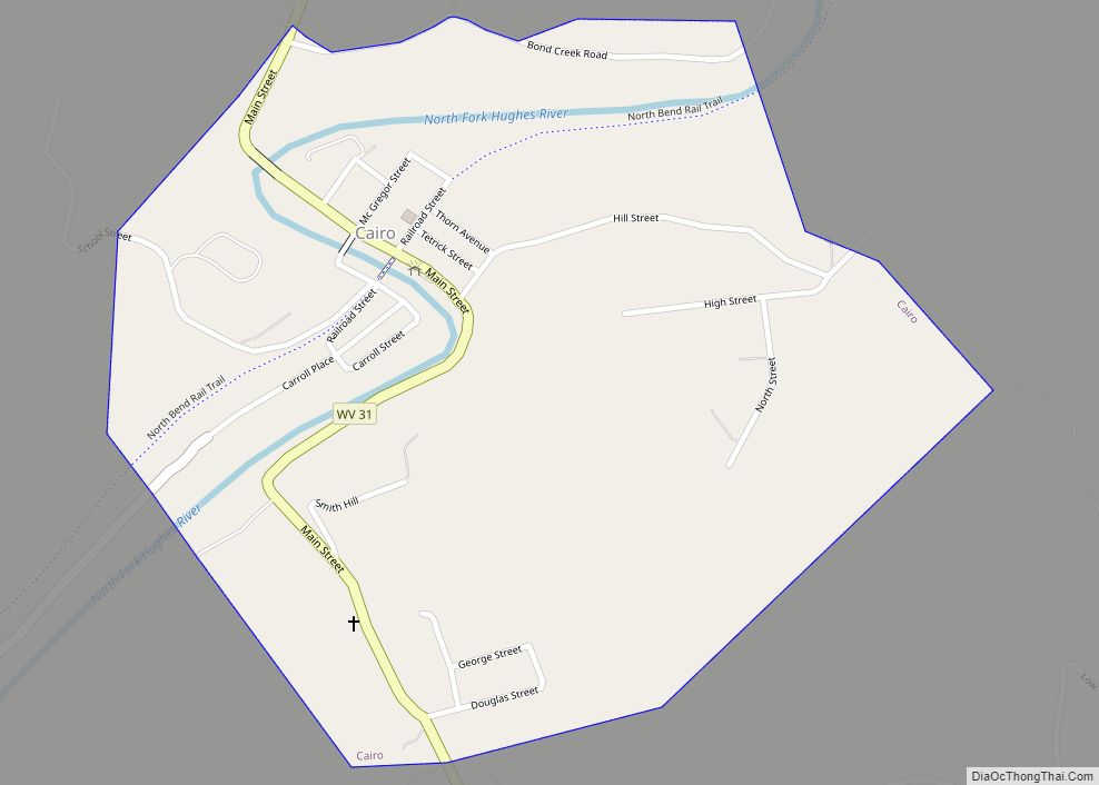
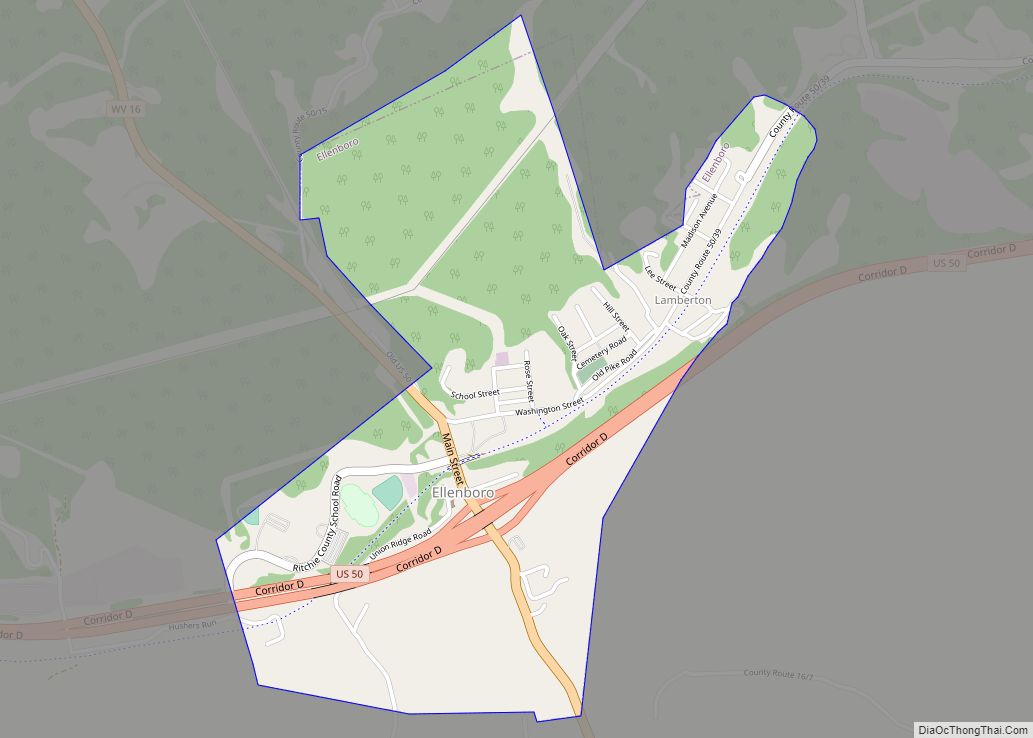
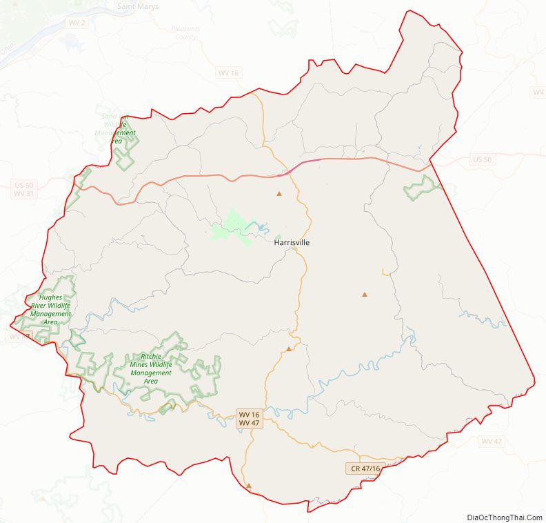
Ritchie County Road Map
Geography
According to the United States Census Bureau, the county has a total area of 454 square miles (1,180 km), of which 452 square miles (1,170 km) is land and 1.7 square miles (4.4 km) (0.4%) is water.
Major highways
- U.S. Route 50
- West Virginia Route 16
- West Virginia Route 31
- West Virginia Route 47
- West Virginia Route 74
Adjacent counties
- Pleasants County (north)
- Tyler County (northeast)
- Doddridge County (east)
- Gilmer County (southeast)
- Calhoun County (south)
- Wirt County (west)
- Wood County (northwest)
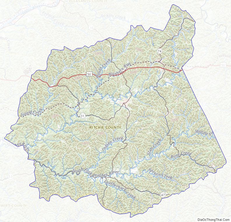
Ritchie County Topographic Map
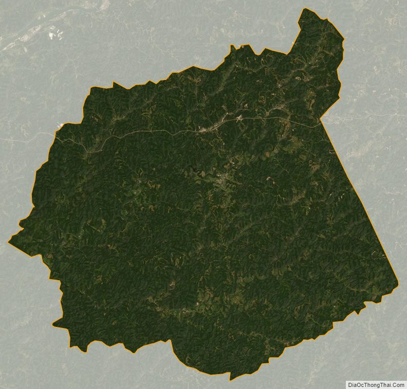
Ritchie County Satellite Map
Ritchie County Outline Map