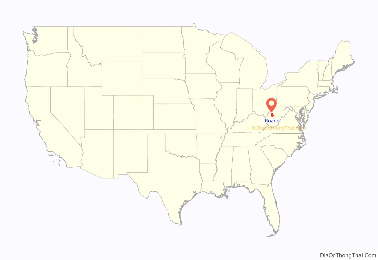
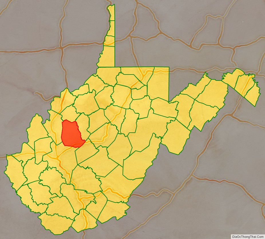
Roane County is a county located in the U.S. state of West Virginia. As of the 2020 census, the population was 14,028. Its county seat is Spencer. The county was founded in 1856 and is named for Spencer Roane.
| Name: | Roane County |
|---|---|
| FIPS code: | 54-087 |
| State: | West Virginia |
| Founded: | March 11, 1856 |
| Named for: | Spencer Roane |
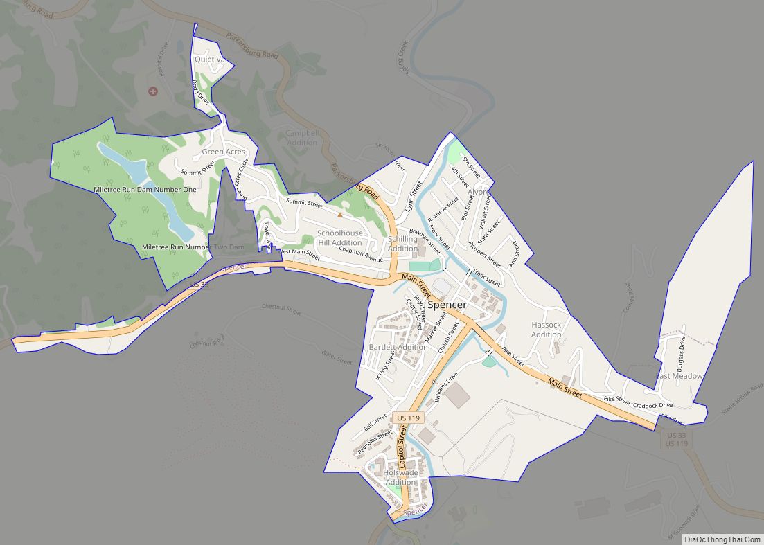
| Seat: | Spencer |
| Largest city: | Spencer |
| Total Area: | 484 sq mi (1,250 km²) |
| Land Area: | 484 sq mi (1,250 km²) |
| Total Population: | 14,028 |
| Population Density: | 29/sq mi (11/km²) |
Roane County location map. Where is Roane County?
History
Roane County was created by an act of the Virginia General Assembly on March 11, 1856. It was named for the jurist Spencer Roane of Virginia. He was born in Essex County April 4, 1762. The county’s seat Spencer was also named for Judge Roane.
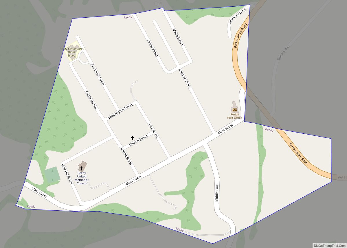
On June 20, 1863, at the height of the Civil War, Roane was one of fifty Virginia counties that were admitted to the Union as the state of West Virginia. Later that year, the state’s counties were divided into civil townships, with the intention of encouraging local government. This proved impractical in the heavily rural state, and in 1872 the townships were converted into magisterial districts. Roane County was divided into seven districts: Curtis, Geary, Harper, Reedy, Smithfield, Spencer, and Walton. Except for minor adjustments, these districts were largely unchanged for more than a century, until in the 1980s they were consolidated into three new magisterial districts: Northern, Eastern, and Western. A fourth district, Southern, was added in the 1990s.
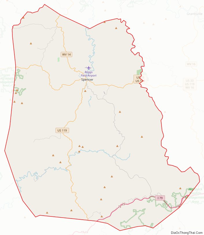
Roane County Road Map
Geography
According to the United States Census Bureau, the county has a total area of 484 square miles (1,250 km), of which 484 square miles (1,250 km) is land and 0.2 square miles (0.52 km) (0.03%) is water.
Major highways
- Interstate 79
- U.S. Highway 33
- U.S. Highway 119
- West Virginia Route 14
- West Virginia Route 36
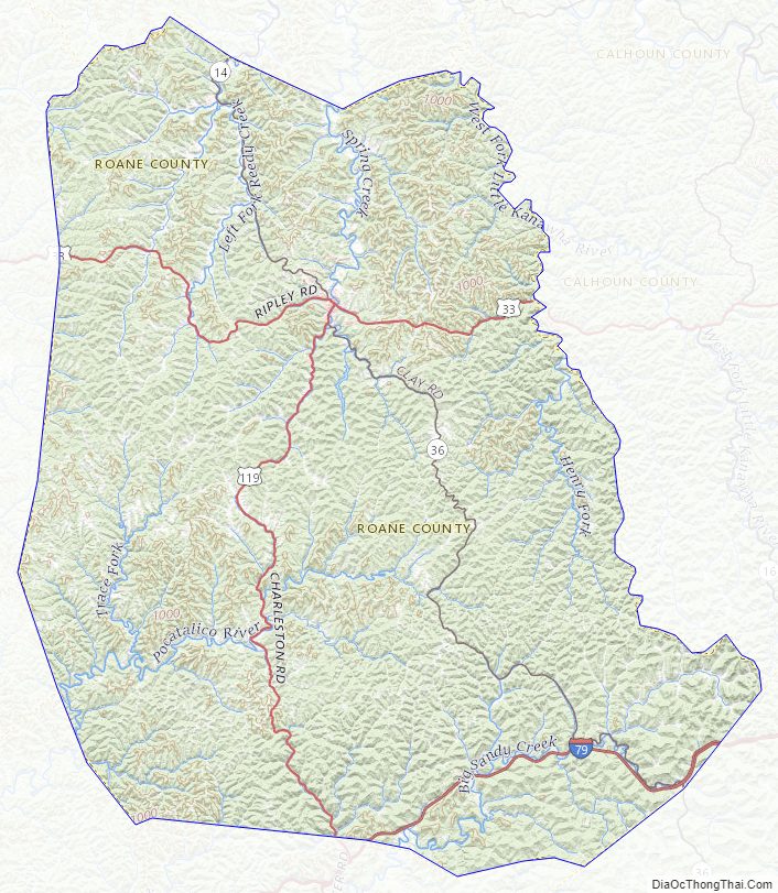
Adjacent counties
- Wirt County (north)
- Calhoun County (east)
- Clay County (southeast)
- Kanawha County (south)
- Jackson County (west)
Roane County Topographic Map
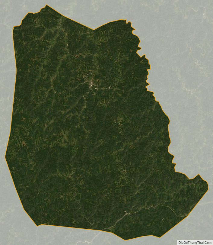
Roane County Satellite Map
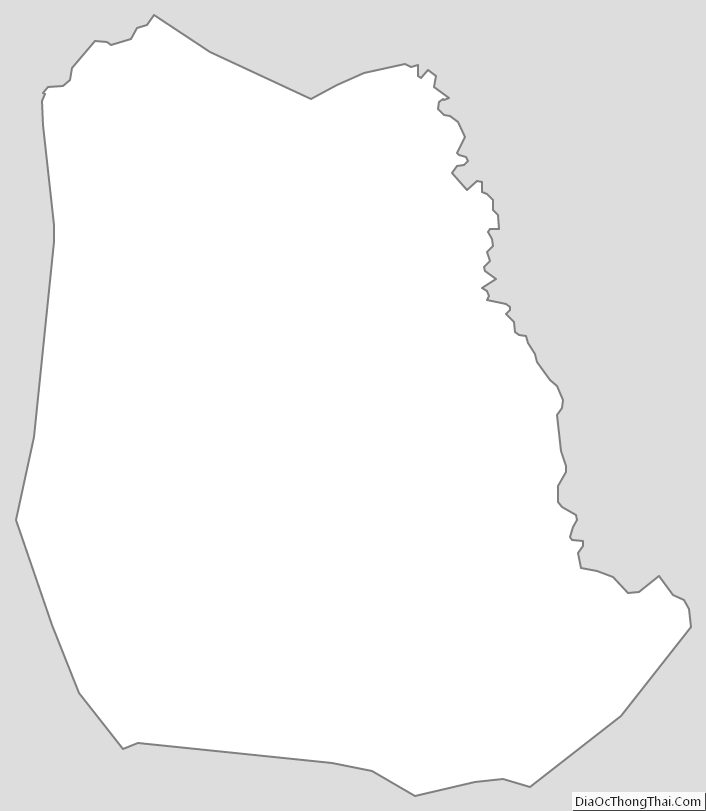
Roane County Outline Map