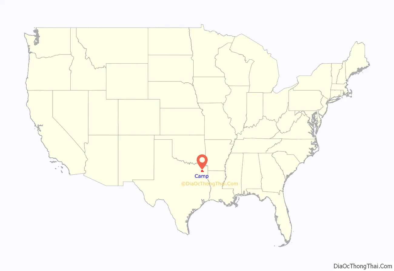
Camp County is a county in the eastern part of Texas. As of the 2020 census, its population was 12,464. Its seat is Pittsburg. The county was founded in 1874 and is named for John Lafayette Camp, a Texas politician.
| Name: | Camp County |
|---|---|
| FIPS code: | 48-063 |
| State: | Texas |
| Founded: | 1874 |
| Named for: | John Lafayette Camp |
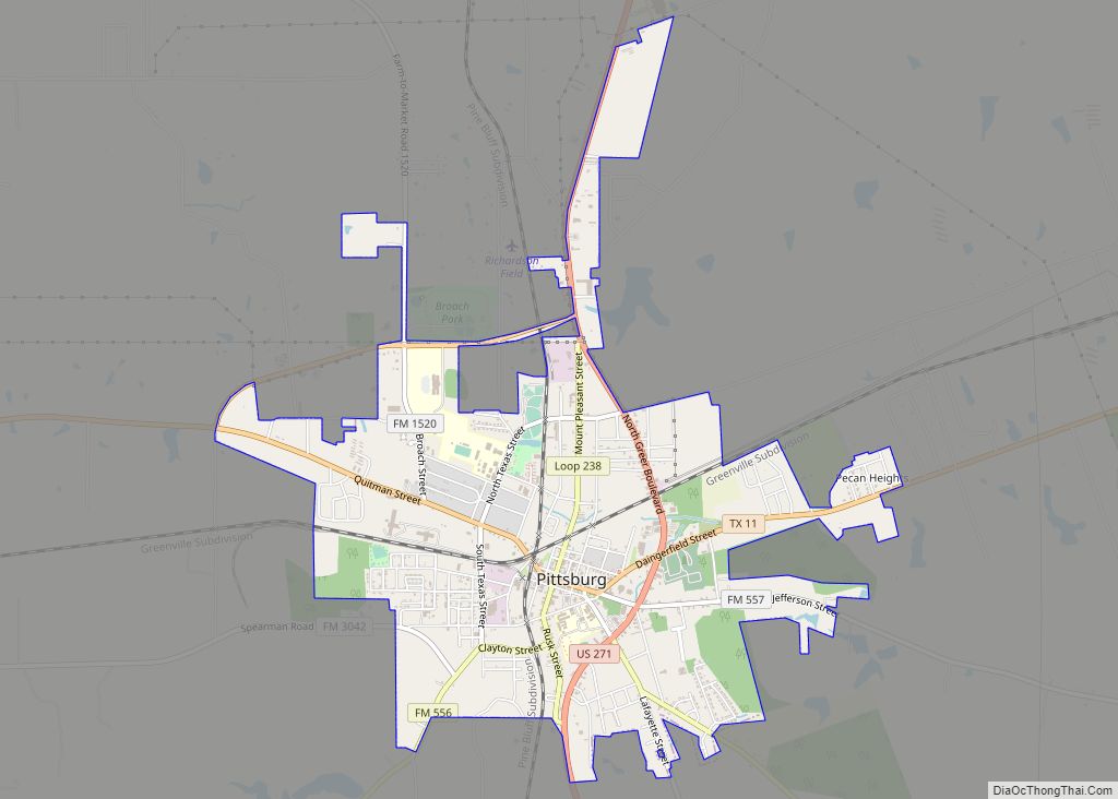
| Seat: | Pittsburg |
| Largest city: | Pittsburg |
| Total Area: | 203 sq mi (530 km²) |
| Land Area: | 196 sq mi (510 km²) |
| Total Population: | 12,464 |
| Population Density: | 61/sq mi (24/km²) |
| Time zone: | UTC−6 (Central) |
| Summer Time Zone (DST): | UTC−5 (CDT) |
| Website: | www.co.camp.tx.us |
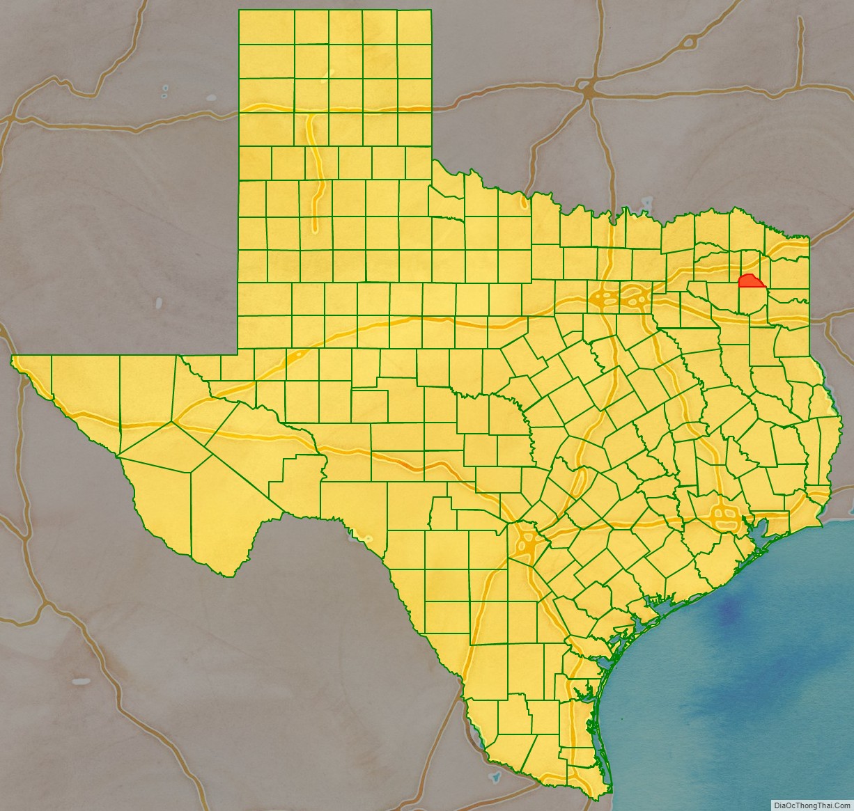
Camp County location map. Where is Camp County?
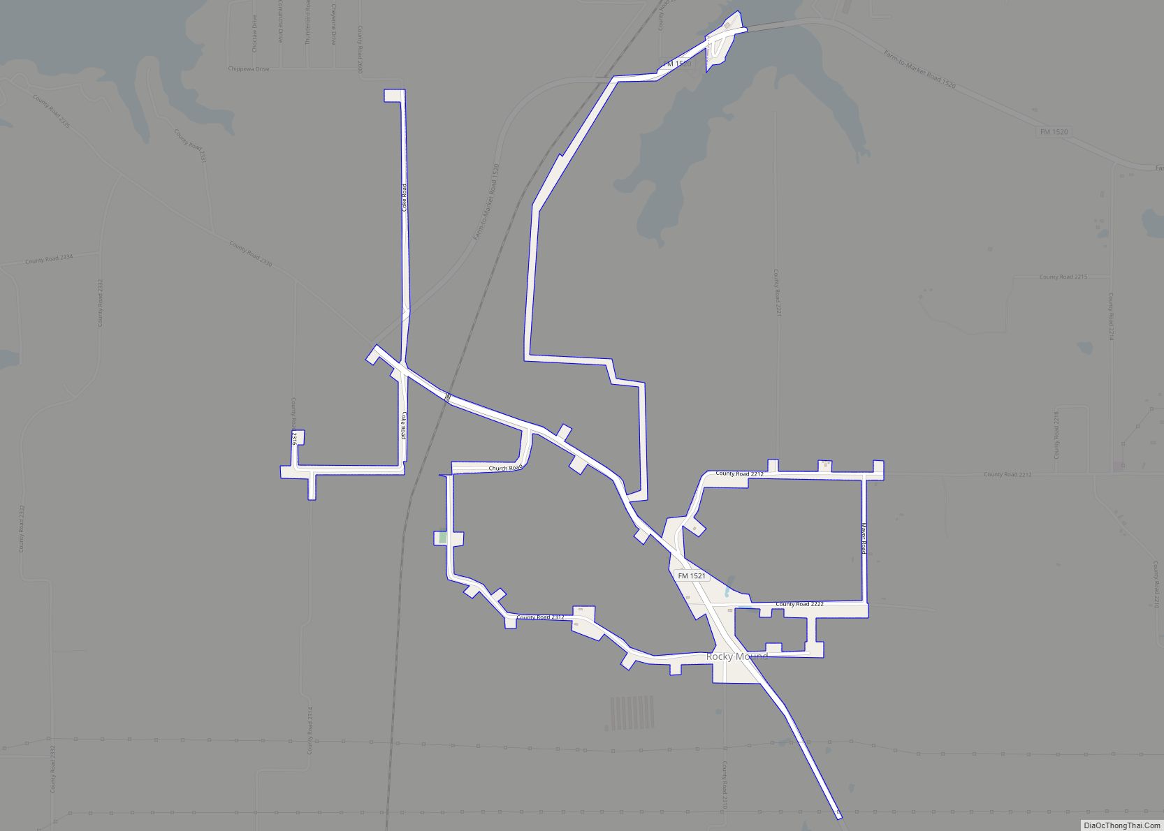
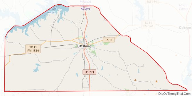
Camp County Road Map
Geography
According to the U.S. Census Bureau, the county has a total area of 203 square miles (530 km), of which 7.4 square miles (19 km) (3.6%) are covered by water. It is the third smallest county by area in Texas.
Major highways
- U.S. Highway 271
- State Highway 11
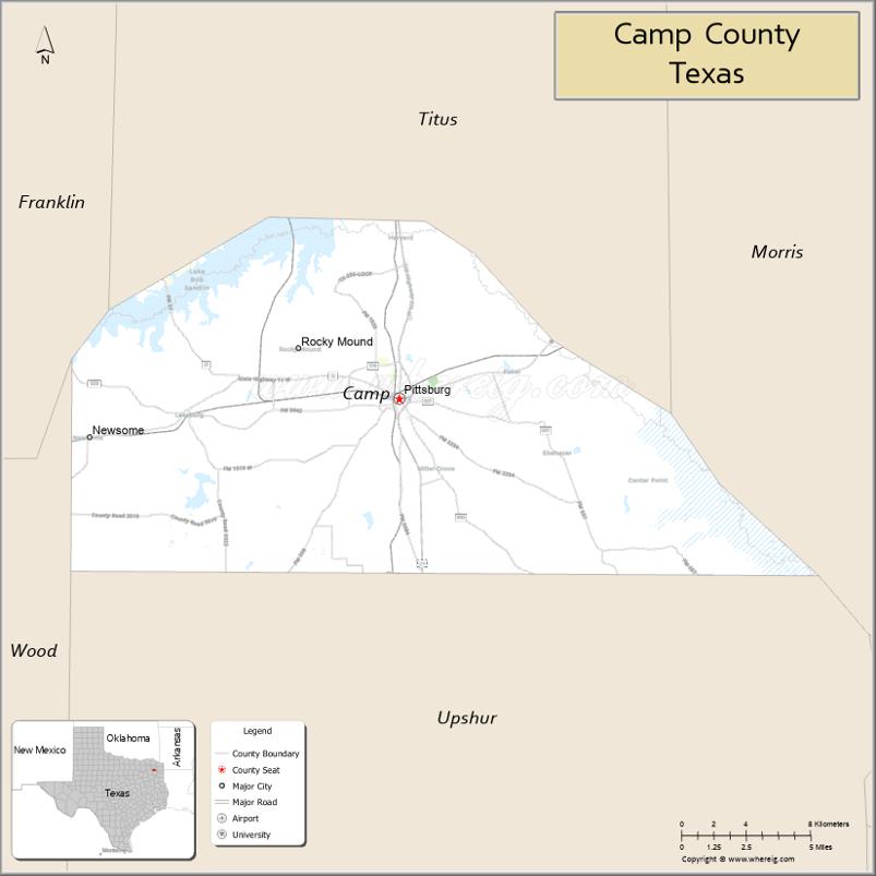
Adjacent counties
- Titus County (north)
- Morris County (east)
- Upshur County (south)
- Wood County (southwest)
- Franklin County (west)
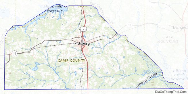
Camp County Topographic Map
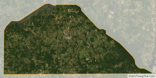
Camp County Satellite Map
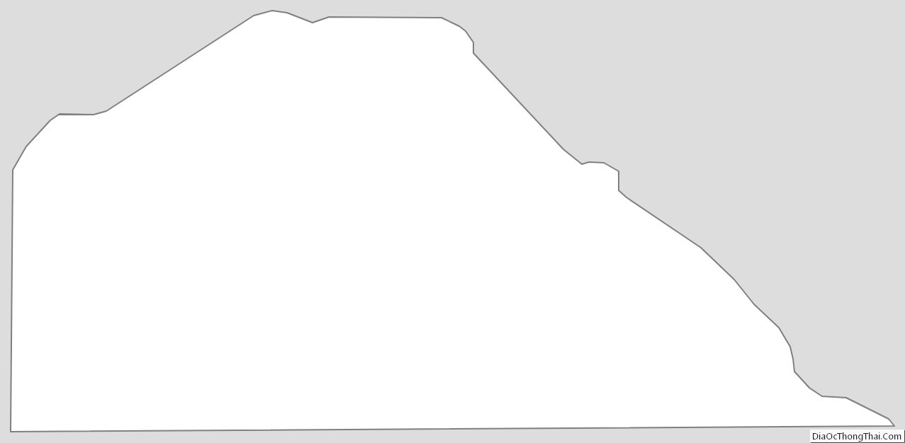
Camp County Outline Map