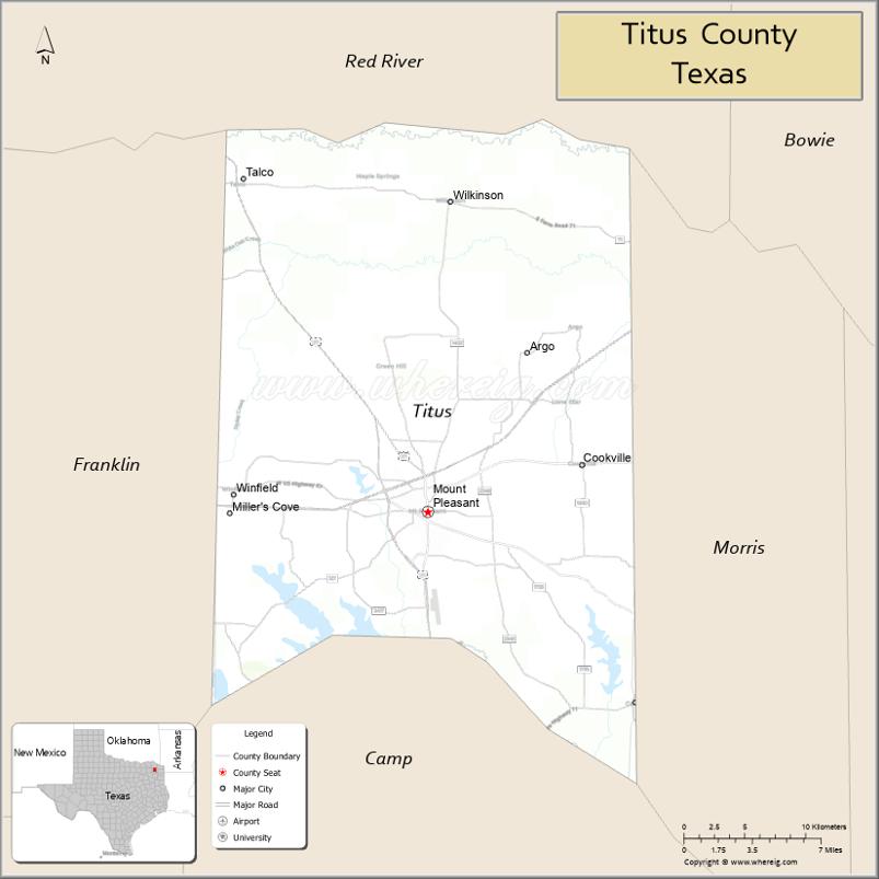
Titus County is a county located in the northeastern region of the U.S. state of Texas. As of the 2020 census, its population was 31,247. Its county seat is Mount Pleasant. The county is named for Andrew Jackson Titus, an early settler. Titus County comprises the Mount Pleasant micropolitan statistical area.
| Name: | Titus County |
|---|---|
| FIPS code: | 48-449 |
| State: | Texas |
| Founded: | 1846 |
| Named for: | Andrew Jackson Titus |
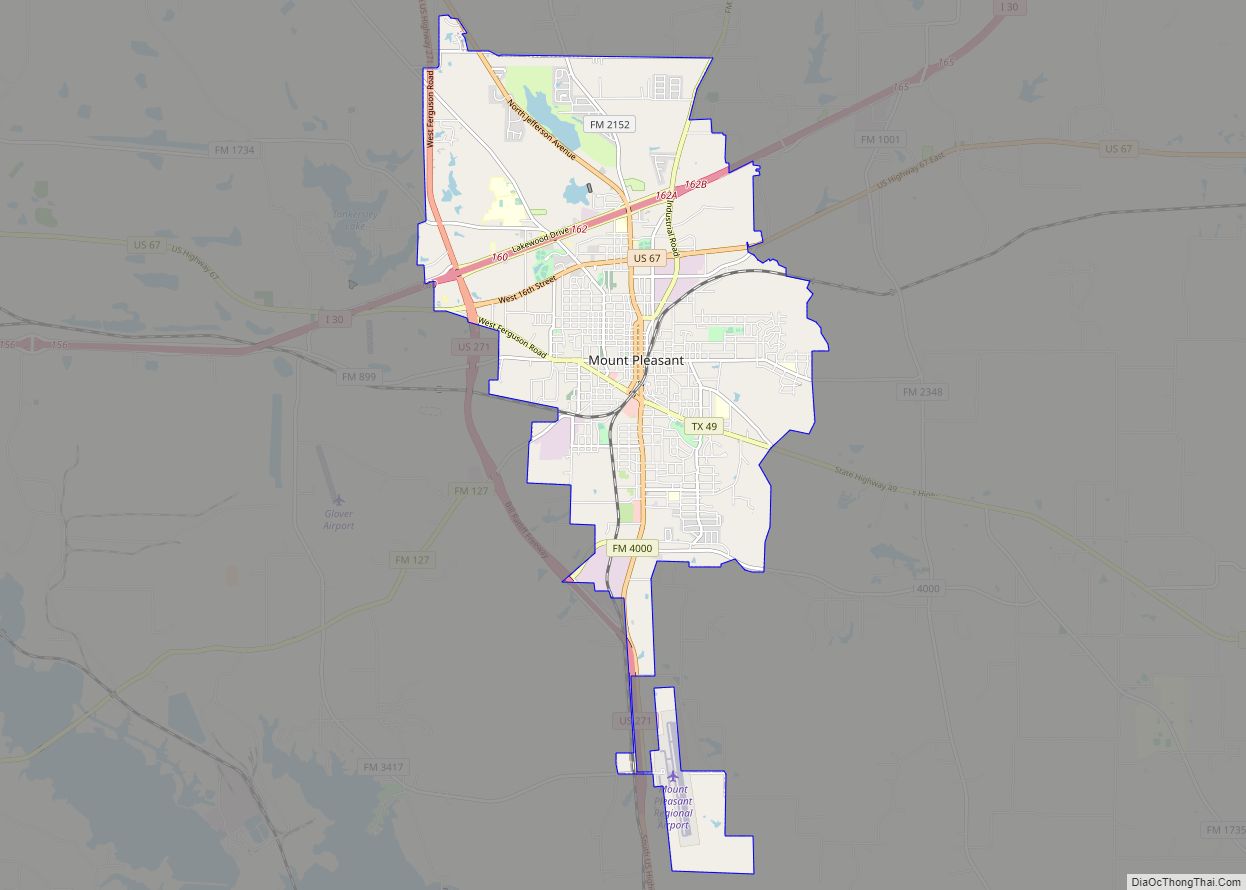
| Seat: | Mount Pleasant |
| Largest city: | Mount Pleasant |
| Total Area: | 426 sq mi (1,100 km²) |
| Land Area: | 406 sq mi (1,050 km²) |
| Total Population: | 31,247 |
| Population Density: | 73/sq mi (28/km²) |
| Time zone: | UTC−6 (Central) |
| Summer Time Zone (DST): | UTC−5 (CDT) |
| Website: | www.co.titus.tx.us |
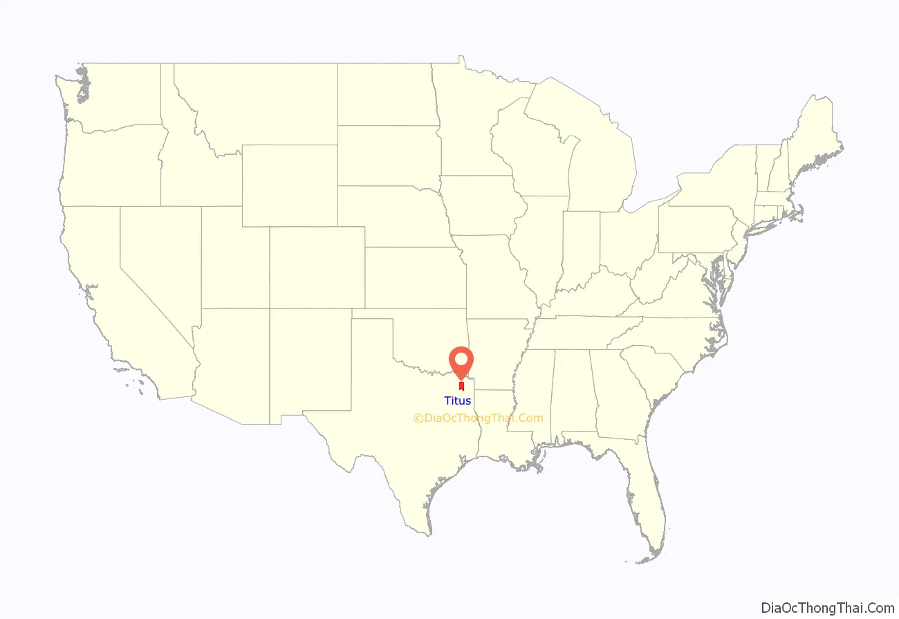
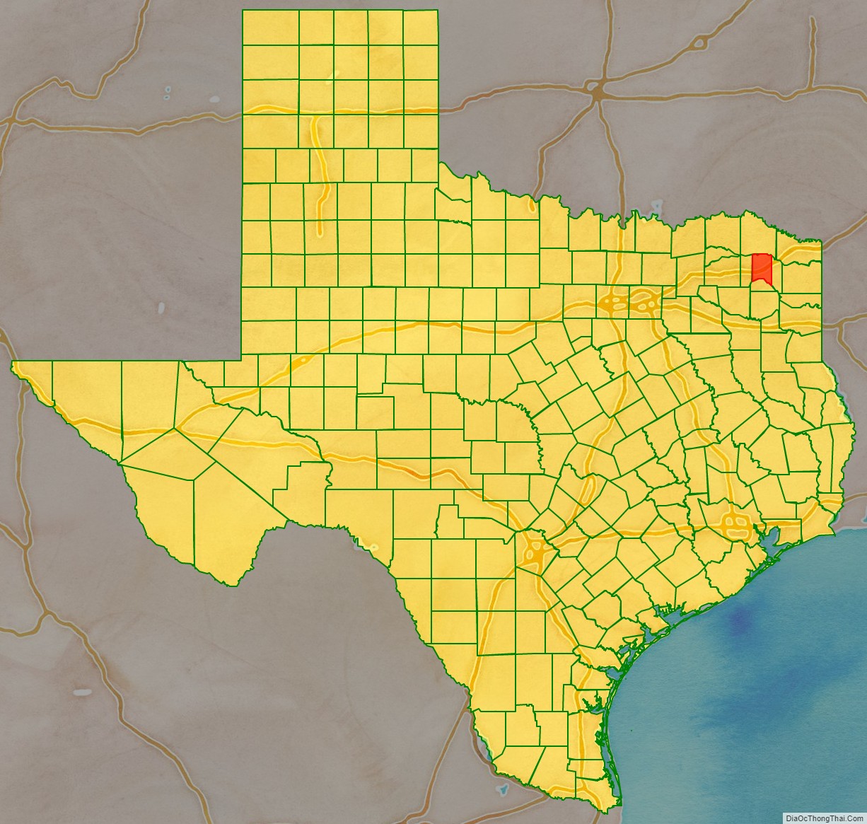
Titus County location map. Where is Titus County?
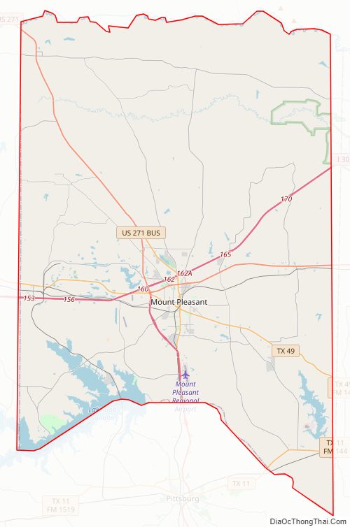
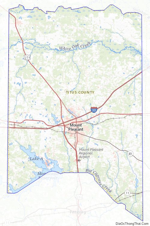
Titus County Road Map
Geography
According to the U.S. Census Bureau, the county has a total area of 426 square miles (1,100 km), of which 20 square miles (52 km) (4.6%) are covered by water.
Major highways
- Interstate 30
- U.S. Highway 67
- U.S. Highway 271
- State Highway 11
- State Highway 49
Adjacent counties
- Red River County (north)
- Morris County (east)
- Camp County (south)
- Franklin County (west)
Titus County Topographic Map
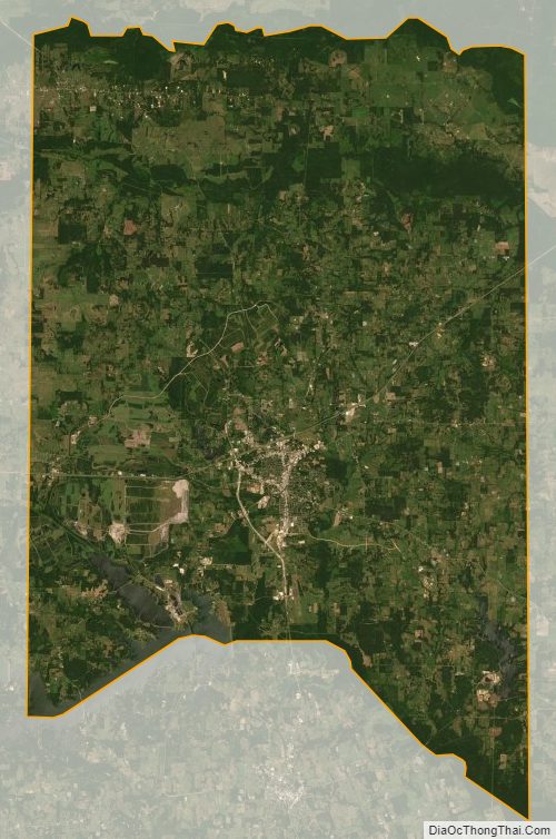
Titus County Satellite Map
Titus County Outline Map