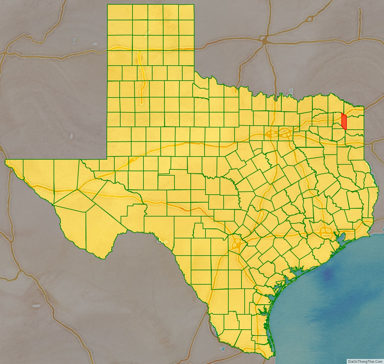
Morris County is a county located near the eastern border of the U.S. state of Texas. As of the 2010 census, its population was 11,973. Its county seat is Daingerfield. Morris County is probably named for William Wright Morris, an early judge and planter from Henderson, also in northeast Texas. As of 2016, Morris County is no longer one of six prohibition, or entirely dry, counties in the state of Texas. Morris County is now “partially wet.”
| Name: | Morris County |
|---|---|
| FIPS code: | 48-343 |
| State: | Texas |
| Founded: | 1875 |
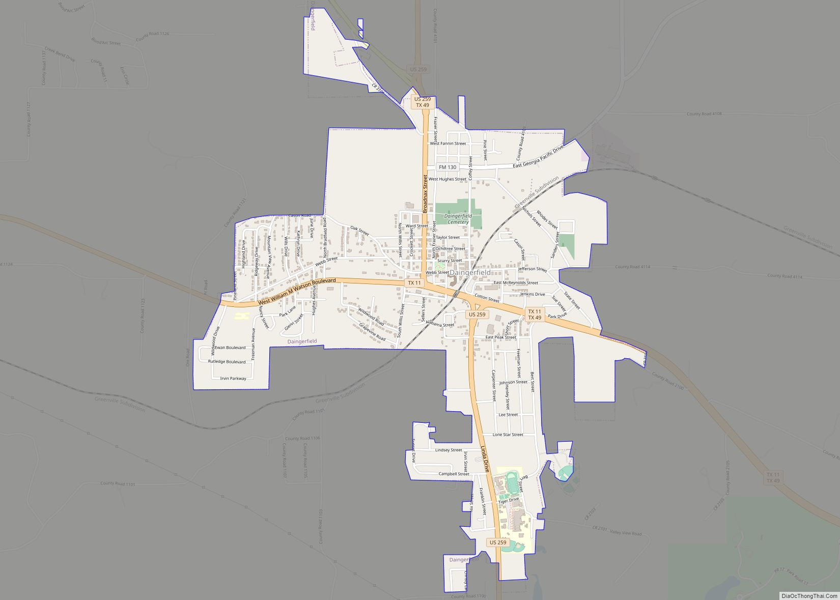
| Seat: | Daingerfield |
| Largest city: | Daingerfield |
| Total Area: | 259 sq mi (670 km²) |
| Land Area: | 252 sq mi (650 km²) |
| Total Population: | 11,973 |
| Population Density: | 46/sq mi (18/km²) |
| Time zone: | UTC−6 (Central) |
| Summer Time Zone (DST): | UTC−5 (CDT) |
| Website: | www.co.morris.tx.us |
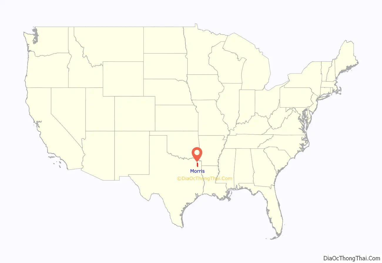
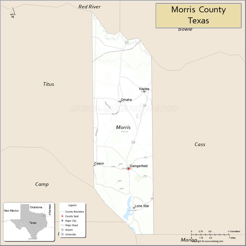
Morris County location map. Where is Morris County?
History
In the nineteenth century, this area was settled primarily by European-American planters and farmers, many of whom brought enslaved African Americans with them or purchased others to work as laborers on the cotton plantations they developed. Cotton was most important, but farmers also cultivated other commodity crops before the American Civil War. Eastern Texas was the region of the state with the highest number and proportion of slaves.
The area has continued to be mostly rural and agricultural. In the 21st century, African Americans comprise a significant minority in the county.
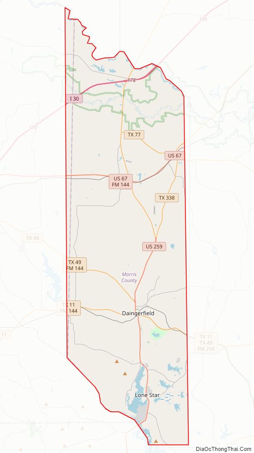
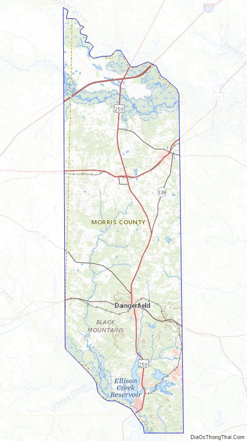
Morris County Road Map
Geography
According to the U.S. Census Bureau, the county has a total area of 259 square miles (670 km), of which 252 square miles (650 km) is land and 6.7 square miles (17 km) (2.6%) is water. It is the fifth-smallest county in Texas by land area and fourth-smallest by total area.
Major highways
- I-30
- US 67
- US 259
- SH 11
- SH 49
- SH 77
- FM 130
- FM 144
- FM 161
- FM 250
- SH 338
Adjacent counties
- Bowie County (north)
- Cass County (east)
- Marion County (southeast)
- Upshur County (south)
- Camp County (southwest)
- Titus County (west)
- Red River County (northwest)
Morris County Topographic Map
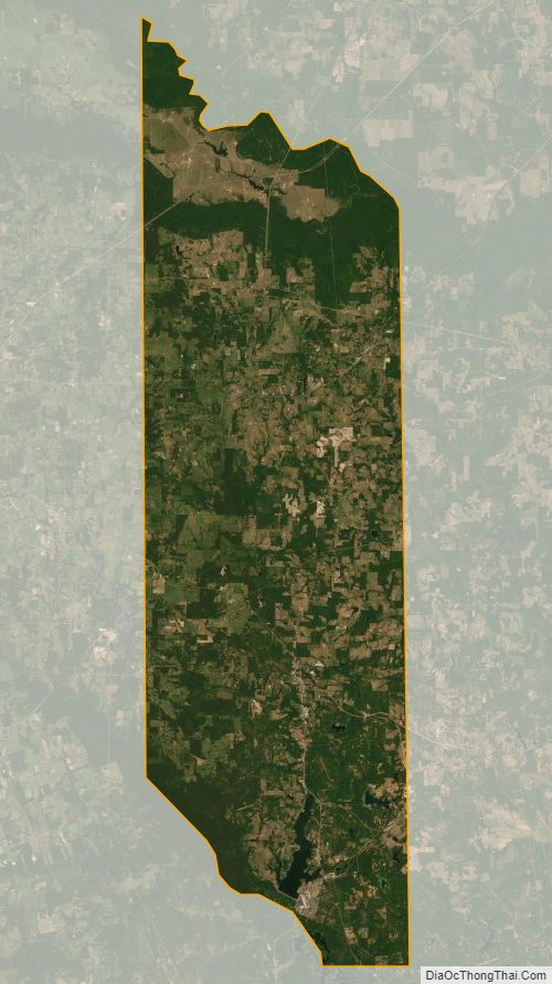
Morris County Satellite Map
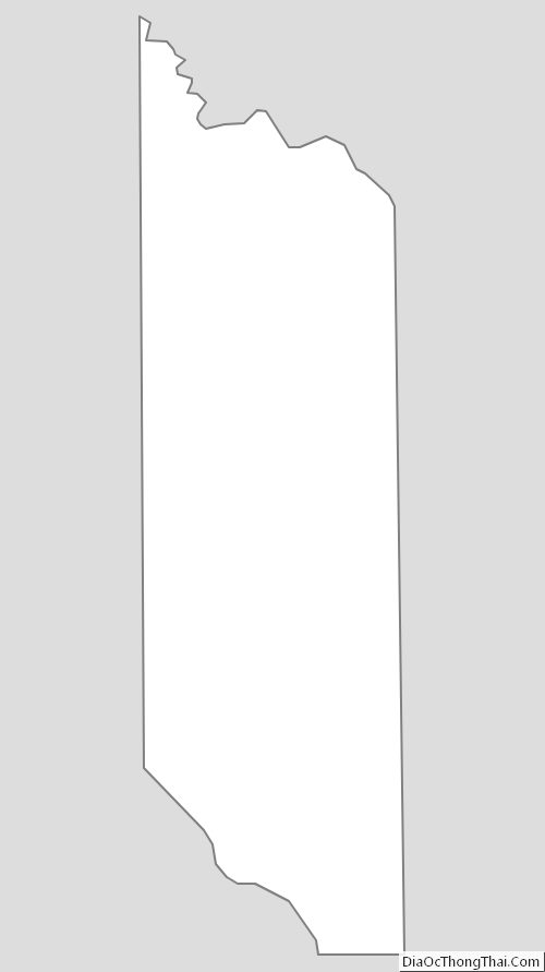
Morris County Outline Map