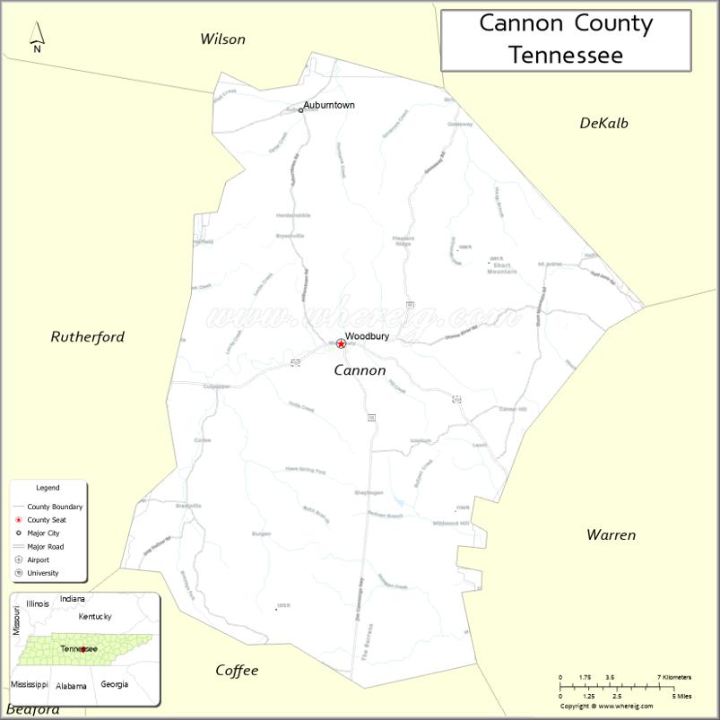
Cannon County is a county located in the U.S. state of Tennessee. As of the 2020 census, the population was 14,506. Its county seat is Woodbury. Cannon County is part of the Nashville–Davidson–Murfreesboro–Franklin, TN Metropolitan Statistical Area.
| Name: | Cannon County |
|---|---|
| FIPS code: | 47-015 |
| State: | Tennessee |
| Founded: | January 31, 1836 |
| Named for: | Newton Cannon |
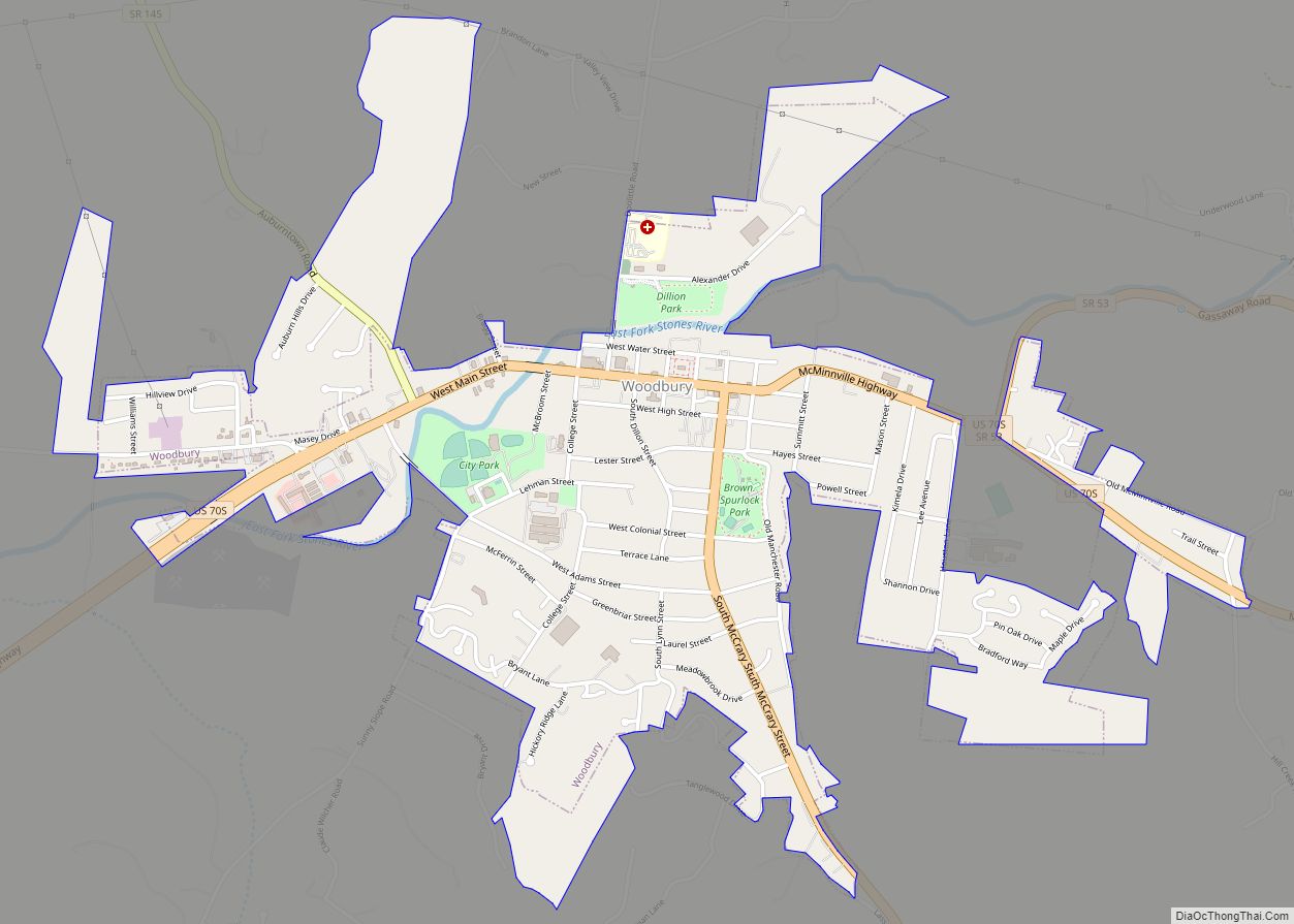
| Seat: | Woodbury |
| Largest town: | Woodbury |
| Total Area: | 266 sq mi (690 km²) |
| Land Area: | 266 sq mi (690 km²) |
| Total Population: | 14,506 |
| Population Density: | 52/sq mi (20/km²) |
| Time zone: | UTC−6 (Central) |
| Summer Time Zone (DST): | UTC−5 (CDT) |
| Website: | www.cannoncountytn.gov |
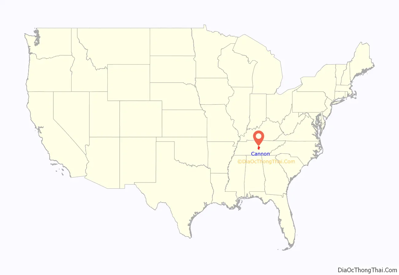
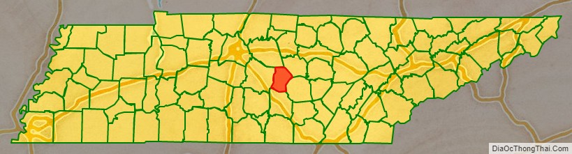
Cannon County location map. Where is Cannon County?
History
Cannon County was established by the Tennessee state legislature on January 31, 1836. It was formed from portions of Rutherford, Smith, Wilson, and Warren counties and was named for Governor Newton Cannon. This was part of the Middle Tennessee region, with mixed farming and livestock raising, including of thoroughbred horses.
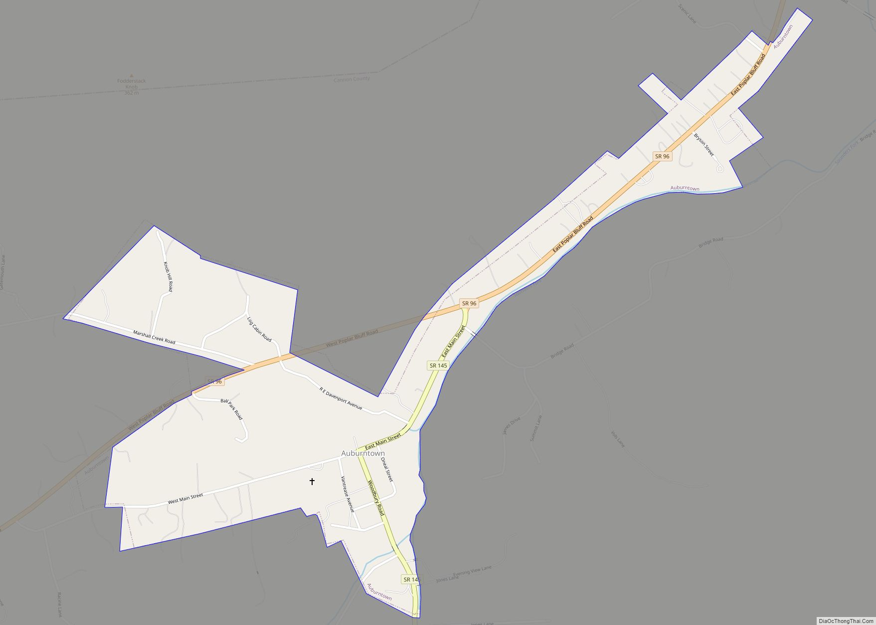
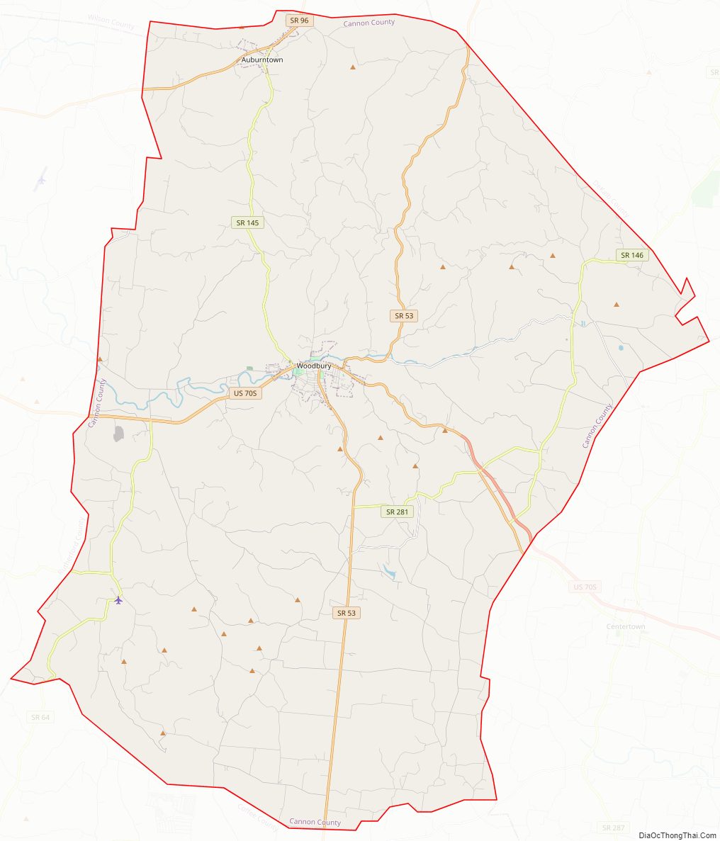
Cannon County Road Map
Geography
According to the U.S. Census Bureau, the county has a total area of 266 square miles (690 km), of which 266 square miles (690 km) is land and 0.06 square miles (0.16 km) (0.02%) is water.
Adjacent counties
- DeKalb County (northeast)
- Warren County (east)
- Coffee County (south)
- Rutherford County (west)
- Wilson County (northwest)
State protected areas
- Headwaters Wildlife Management Area
- Short Mountain State Natural Area
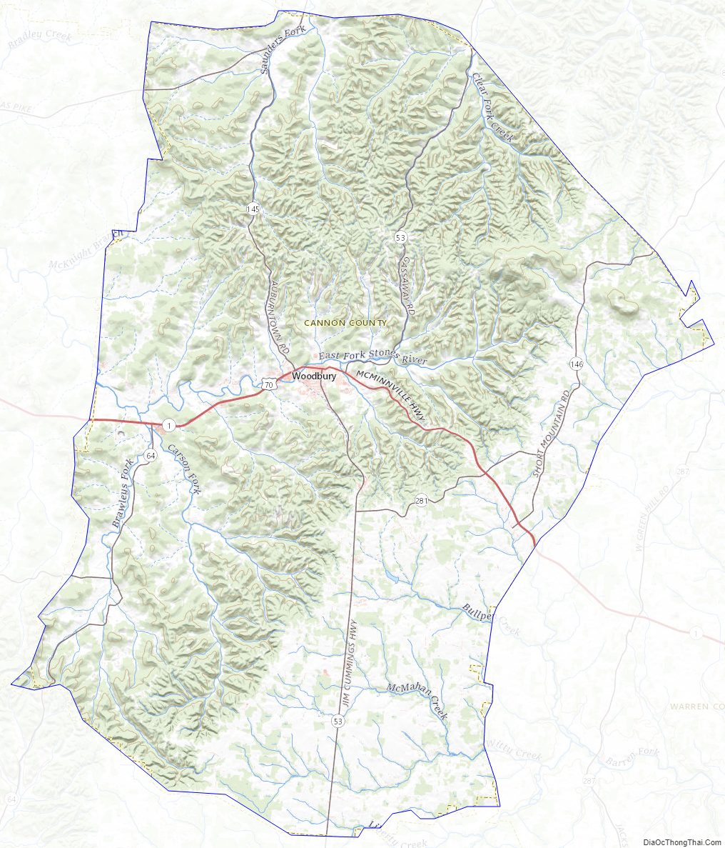
Cannon County Topographic Map
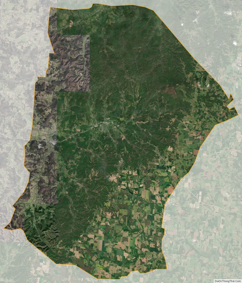
Cannon County Satellite Map
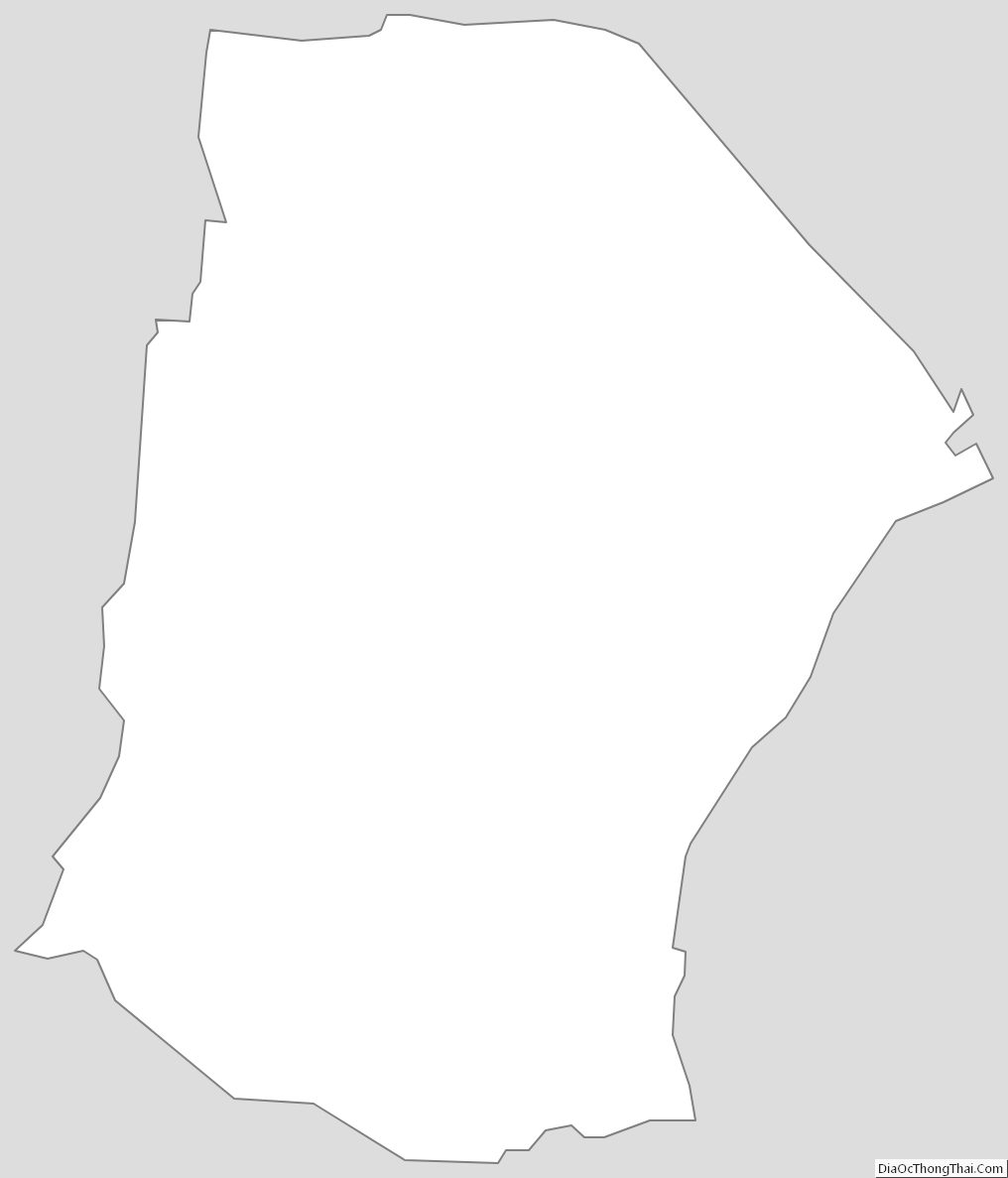
Cannon County Outline Map