Auburntown is a town in Cannon County, Tennessee, United States. The population was 272 as of the 2020 census, up from 269 at the 2010 census.
| Name: | Auburntown town |
|---|---|
| LSAD Code: | 43 |
| LSAD Description: | town (suffix) |
| State: | Tennessee |
| County: | Cannon County |
| Incorporated: | 1949 |
| Elevation: | 715 ft (218 m) |
| Total Area: | 0.58 sq mi (1.50 km²) |
| Land Area: | 0.58 sq mi (1.50 km²) |
| Water Area: | 0.00 sq mi (0.00 km²) |
| Total Population: | 272 |
| Population Density: | 470.59/sq mi (181.73/km²) |
| ZIP code: | 37016 |
| Area code: | 615 |
| FIPS code: | 4702400 |
| GNISfeature ID: | 1304896 |
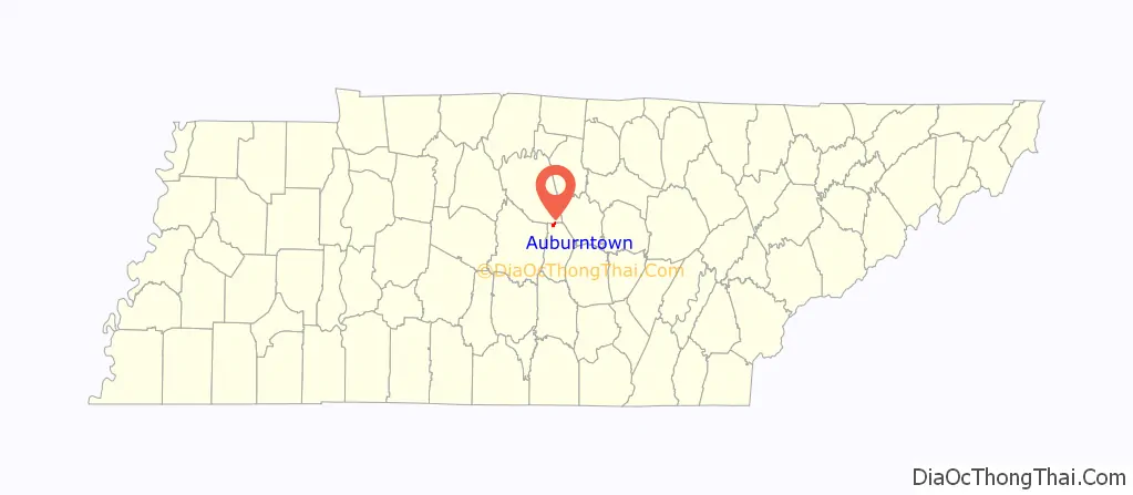
Online Interactive Map
Click on ![]() to view map in "full screen" mode.
to view map in "full screen" mode.
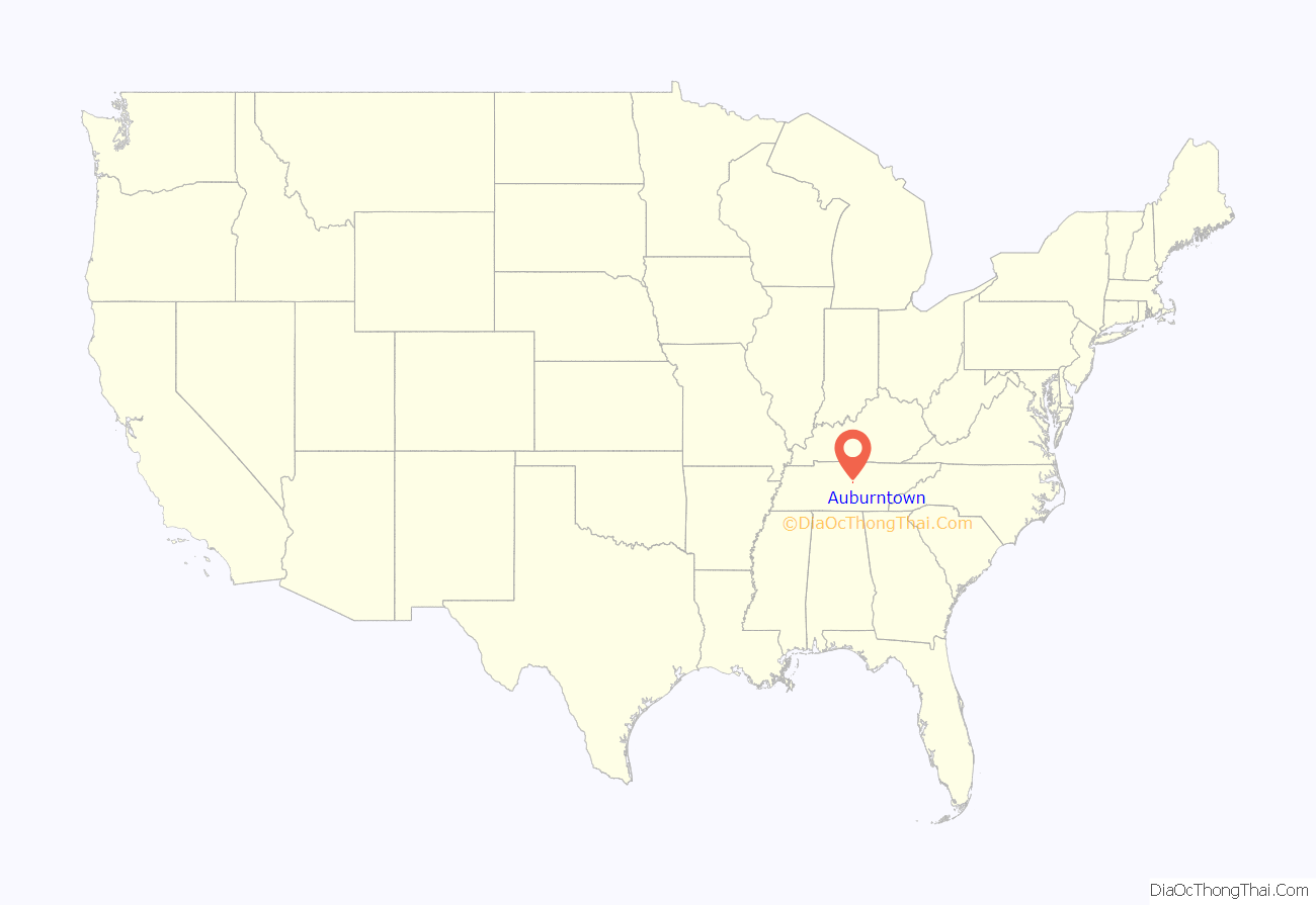
Auburntown location map. Where is Auburntown town?
History
Once known as Poplar Stand, due to large population of poplar trees in the area, Auburntown was eventually renamed after Auburn, New York. It was incorporated in 1949.
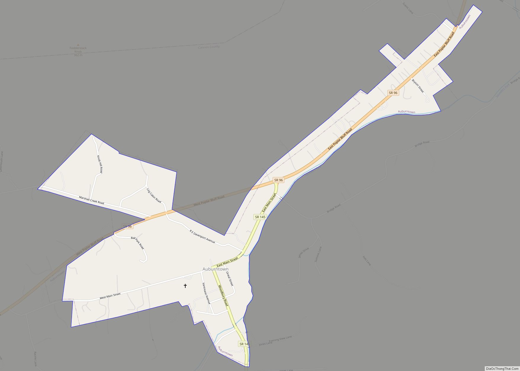
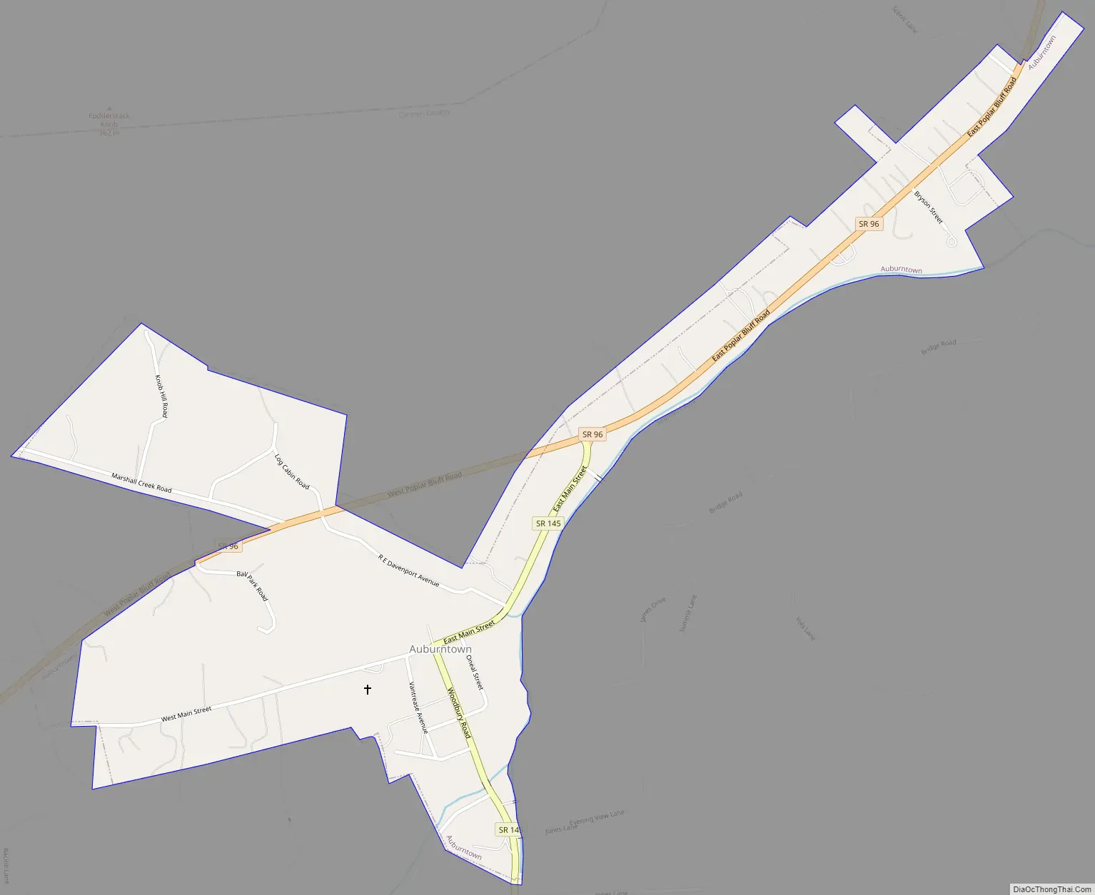
Auburntown Road Map
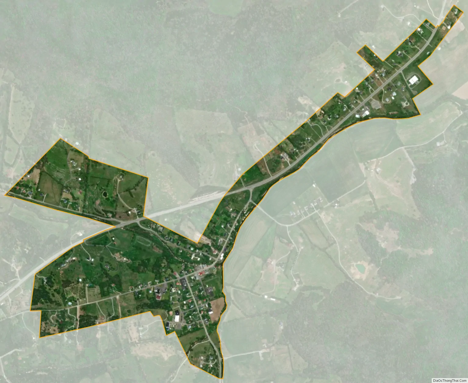
Auburntown city Satellite Map
Geography
Auburntown is located at 35°56′59″N 86°05′45″W / 35.949611°N 86.095913°W / 35.949611; -86.095913.
According to the United States Census Bureau, the town has a total area of 0.6 square miles (1.6 km), all of it land.
See also
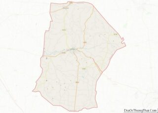
Map of Tennessee State and its subdivision:- Anderson
- Bedford
- Benton
- Bledsoe
- Blount
- Bradley
- Campbell
- Cannon
- Carroll
- Carter
- Cheatham
- Chester
- Claiborne
- Clay
- Cocke
- Coffee
- Crockett
- Cumberland
- Davidson
- Decatur
- DeKalb
- Dickson
- Dyer
- Fayette
- Fentress
- Franklin
- Gibson
- Giles
- Grainger
- Greene
- Grundy
- Hamblen
- Hamilton
- Hancock
- Hardeman
- Hardin
- Hawkins
- Haywood
- Henderson
- Henry
- Hickman
- Houston
- Humphreys
- Jackson
- Jefferson
- Johnson
- Knox
- Lake
- Lauderdale
- Lawrence
- Lewis
- Lincoln
- Loudon
- Macon
- Madison
- Marion
- Marshall
- Maury
- McMinn
- McNairy
- Meigs
- Monroe
- Montgomery
- Moore
- Morgan
- Obion
- Overton
- Perry
- Pickett
- Polk
- Putnam
- Rhea
- Roane
- Robertson
- Rutherford
- Scott
- Sequatchie
- Sevier
- Shelby
- Smith
- Stewart
- Sullivan
- Sumner
- Tipton
- Trousdale
- Unicoi
- Union
- Van Buren
- Warren
- Washington
- Wayne
- Weakley
- White
- Williamson
- Wilson
- Alabama
- Alaska
- Arizona
- Arkansas
- California
- Colorado
- Connecticut
- Delaware
- District of Columbia
- Florida
- Georgia
- Hawaii
- Idaho
- Illinois
- Indiana
- Iowa
- Kansas
- Kentucky
- Louisiana
- Maine
- Maryland
- Massachusetts
- Michigan
- Minnesota
- Mississippi
- Missouri
- Montana
- Nebraska
- Nevada
- New Hampshire
- New Jersey
- New Mexico
- New York
- North Carolina
- North Dakota
- Ohio
- Oklahoma
- Oregon
- Pennsylvania
- Rhode Island
- South Carolina
- South Dakota
- Tennessee
- Texas
- Utah
- Vermont
- Virginia
- Washington
- West Virginia
- Wisconsin
- Wyoming