Rutherford County is a county located in the U.S. state of Tennessee. It is located in Middle Tennessee. As of a 2021 estimate, the population was 352,182, making it the fifth-most populous county in Tennessee. A study conducted by the University of Tennessee projects Rutherford County to become the third largest county in Tennessee by population by 2050. Its county seat is Murfreesboro, which is also the geographic center of Tennessee. As of 2010, it is the center of population of Tennessee. Rutherford County is included in the Nashville-Davidson–Murfreesboro–Franklin, TN Metropolitan Statistical Area.
| Name: | Rutherford County |
|---|---|
| FIPS code: | 47-149 |
| State: | Tennessee |
| Founded: | October 25, 1803 |
| Named for: | Griffith Rutherford |
| Seat: | Murfreesboro |
| Largest city: | Murfreesboro |
| Total Area: | 624 sq mi (1,620 km²) |
| Land Area: | 619 sq mi (1,600 km²) |
| Total Population: | 352,182 |
| Population Density: | 551.67/sq mi (213.00/km²) |
| Time zone: | UTC−6 (Central) |
| Summer Time Zone (DST): | UTC−5 (CDT) |
| Website: | rutherfordcountytn.gov |
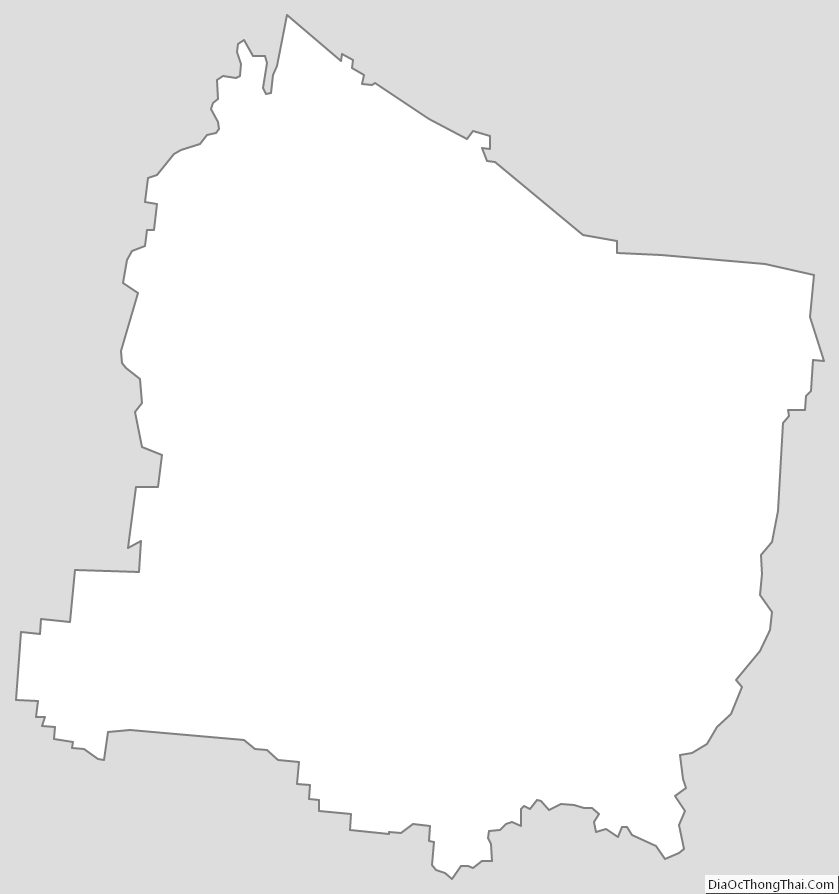
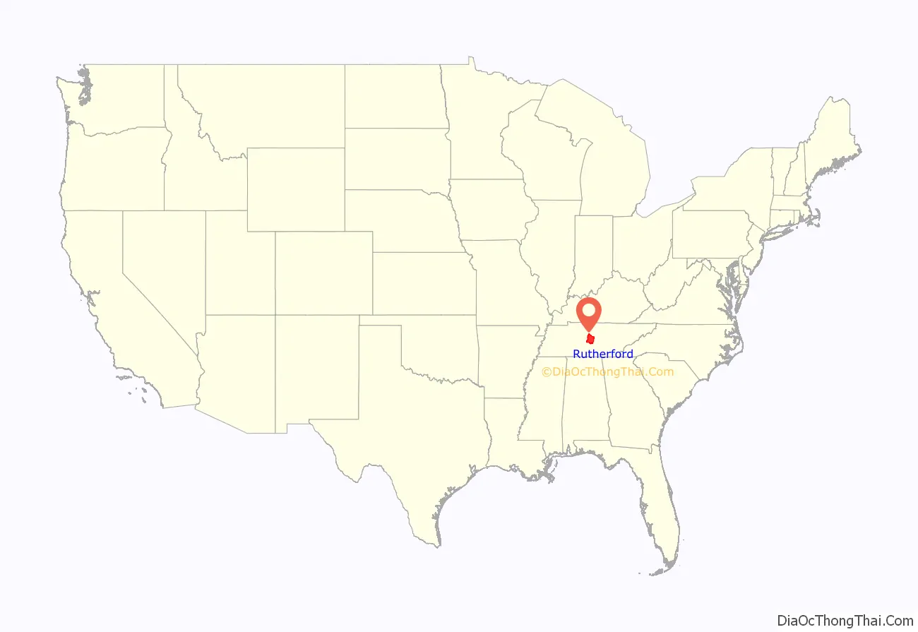
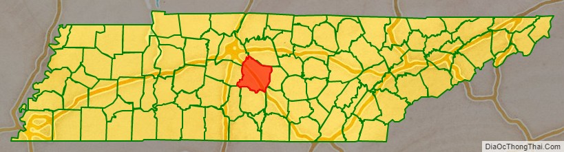
Rutherford County location map. Where is Rutherford County?
History
Early history
Rutherford County was formed in 1803 from parts of Davidson, Williamson and Wilson counties, and named in honor of Griffith Rutherford (1721–1805). Rutherford was a North Carolina colonial legislator and an American Revolutionary War general, who settled in Middle Tennessee after the Revolution. He was appointed President of the Council of the Southwest Territory (the upper chamber of the territorial legislature) in 1794.
Civil War
Rutherford County strongly supported the Confederacy during the Civil War, having voted 2,392 to 73 in favor of Tennessee’s Ordinance of Secession on June 8, 1861.
Rutherford County’s central location and proximity to Nashville during the Civil War made it a contested area. The county was home to one of the bloodiest battles of the war, the Battle of Stones River, which was fought between December 31, 1862, and January 2, 1863.
On July 13, 1862, Confederate General Nathan Bedford Forrest conducted a series of cavalry operations known locally as Forrest’s Raid. The raid successfully led to the surrender of all Union forces occupying the area. Soon after his departure, Union troops returned to the area and held it until the end of the war.
Reconstruction and latter 19th century
In August 1869, rampaging white men drove close to 100 African American farmers from their homes, and out of the county, to Nashville.
In 1884, Bradley Academy in Murfreesboro became Rutherford County’s first accredited high school for African Americans. The co-educational school was operated by the Murfreesboro City Schools system. Bradley Academy was placed on the National Register of Historic Places in 1990.
Modern history
In the early 2000s, Muslim immigrants settled in the county, particularly in and around Murfreesboro. Their efforts to develop a mosque, the Islamic Center of Murfreesboro (and its subsequent replacement) became the focus of intense local controversy and opposition from non-Muslims, and were stymied by political and legal battles, arson, bomb threats and vandalism. A federal court forced the local authorities to allow the mosque, and opposition subsided, but sporadic incidents continued.
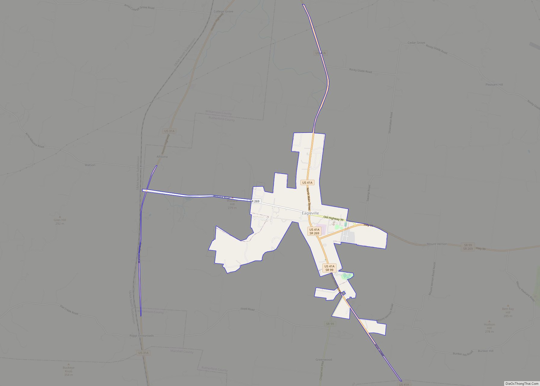
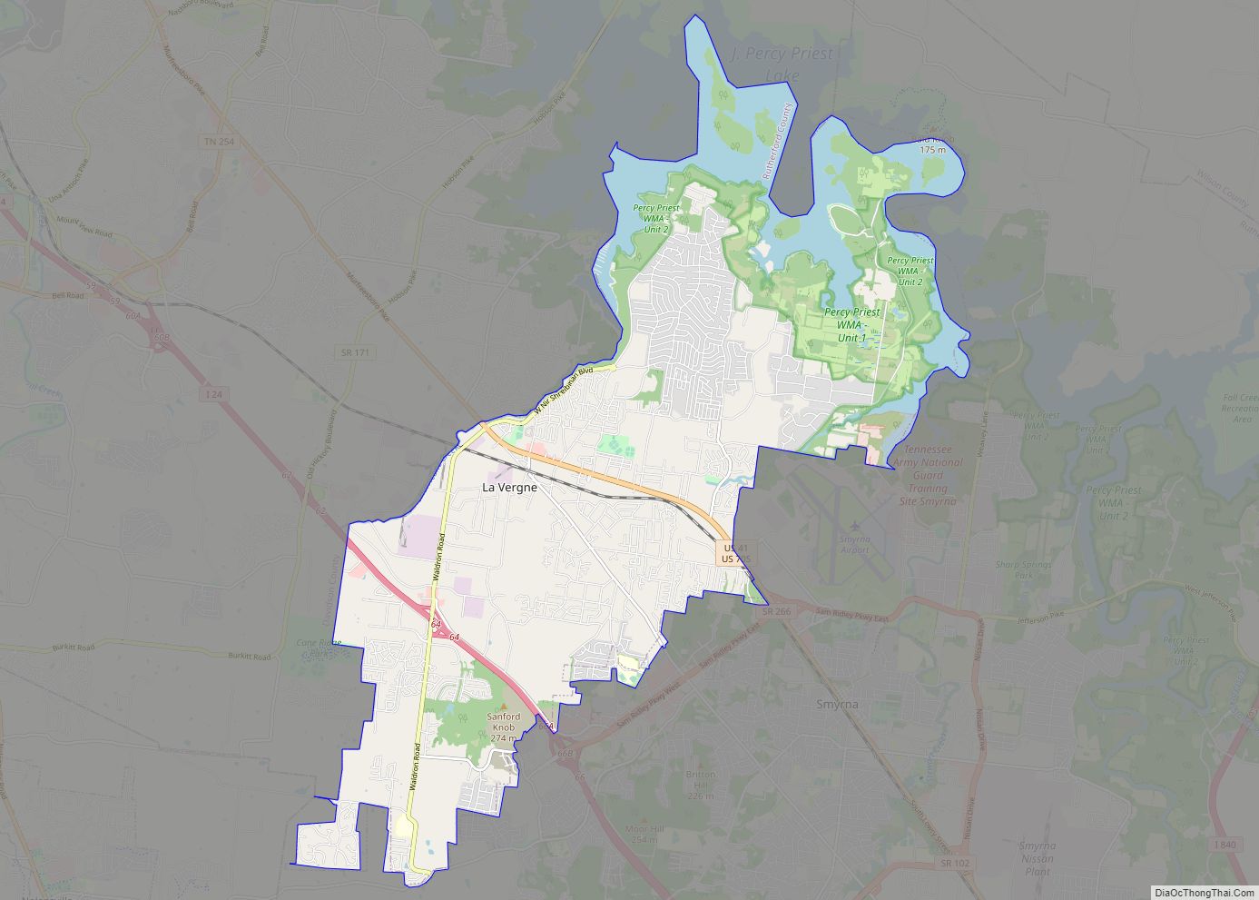
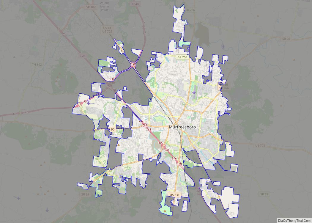
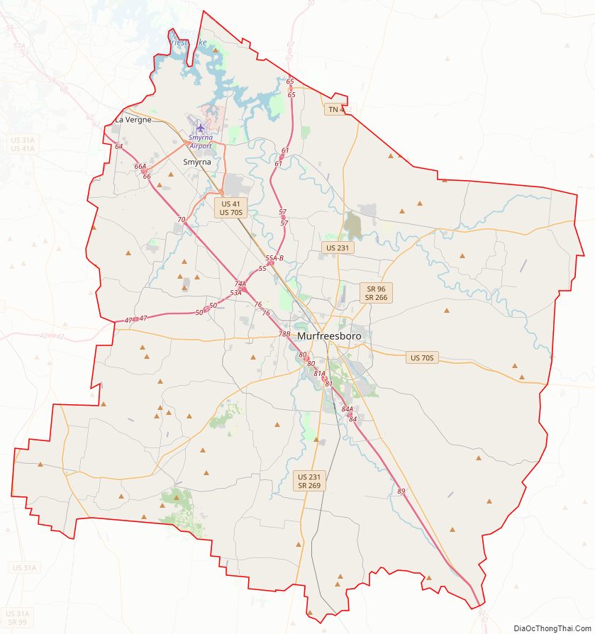
Rutherford County Road Map

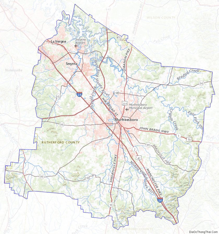
Geography
According to the U.S. Census Bureau, the county has a total area of 624 square miles (1,620 km), of which 619 square miles (1,600 km) is land and 4.7 square miles (12 km) (0.8%) is water.
Adjacent counties
- Wilson County (north)
- Cannon County (east)
- Coffee County (southeast)
- Bedford County (south)
- Marshall County (southwest)
- Williamson County (west)
- Davidson County (northwest)
National protected area
- Stones River National Battlefield
State protected areas
- Flat Rock Cedar Glades and Barrens State Natural Area
- Gattinger’s Cedar Glade and Barrens State Natural Area (part)
- Long Hunter State Park (part)
- Manus Road Cedar Glade State Natural Area
- Overbridge State Natural Area
- Percy Priest Wildlife Management Area (part)
- Elsie Quarterman Cedar Glade State Natural Area
- Fate Sanders Barrens State Natural Area
- Sunnybell Cedar Glade State Natural Area
- Stones River Cedar Glade and Barrens State Natural Area
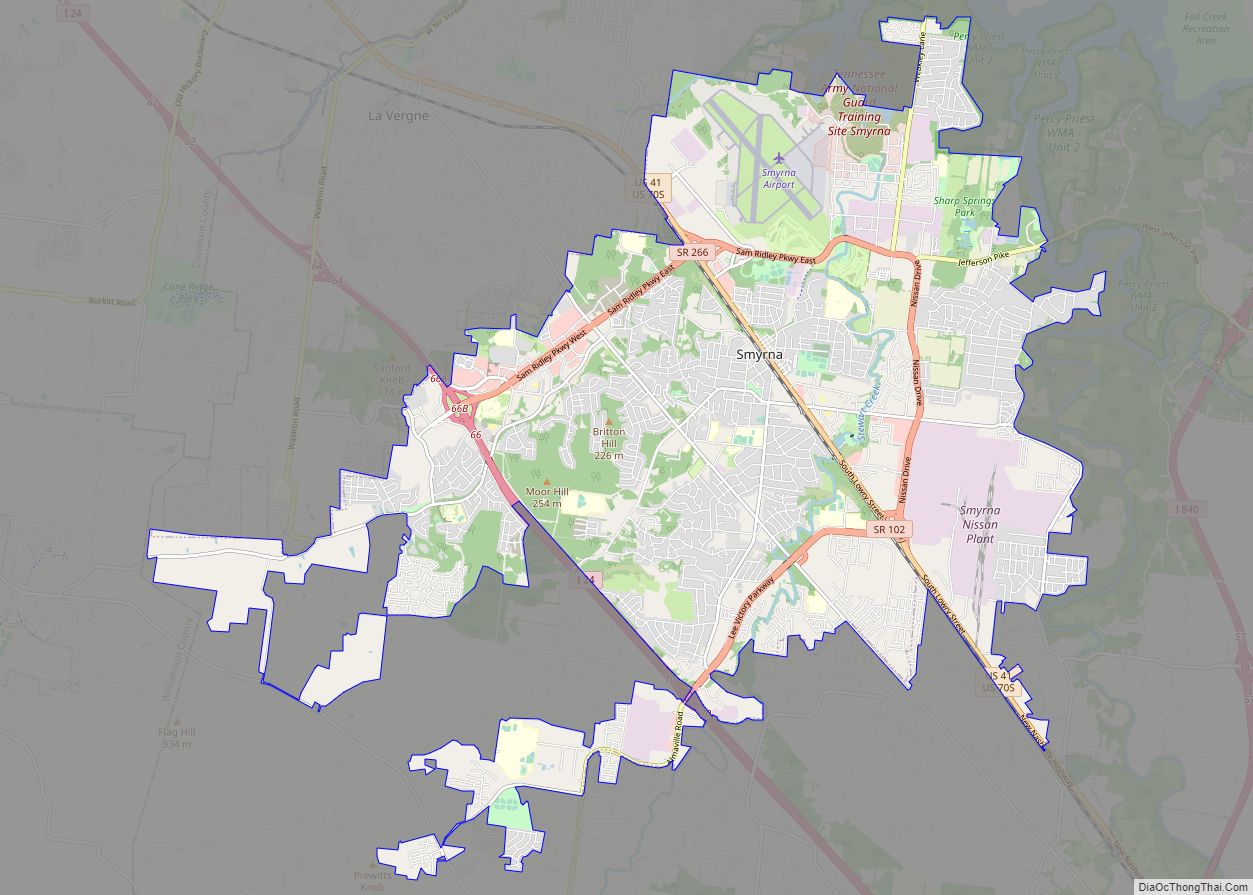
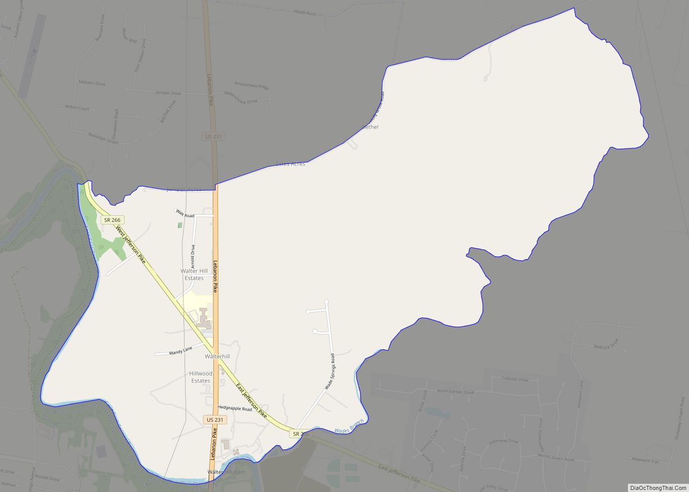
- Walterhill Floodplain State Natural Area
Rutherford County Topographic Map
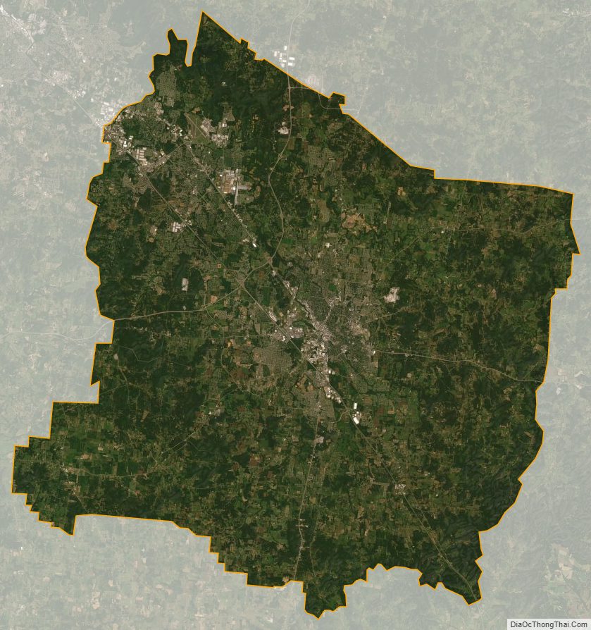
Rutherford County Satellite Map
Rutherford County Outline Map