Notus is a small rural city in Canyon County, Idaho. The population was 531 at the time of the 2010 census and is the smallest town out of the eight in Canyon County. It is part of the Boise metropolitan area.
| Name: | Notus city |
|---|---|
| LSAD Code: | 25 |
| LSAD Description: | city (suffix) |
| State: | Idaho |
| County: | Canyon County |
| Elevation: | 2,316 ft (706 m) |
| Total Area: | 0.38 sq mi (0.99 km²) |
| Land Area: | 0.37 sq mi (0.95 km²) |
| Water Area: | 0.01 sq mi (0.03 km²) |
| Total Population: | 531 |
| Population Density: | 1,733.70/sq mi (669.16/km²) |
| ZIP code: | 83656 |
| Area code: | 208 |
| FIPS code: | 1658060 |
| GNISfeature ID: | 0396974 |
| Website: | notusidaho.org/index.html |
Online Interactive Map
Click on ![]() to view map in "full screen" mode.
to view map in "full screen" mode.
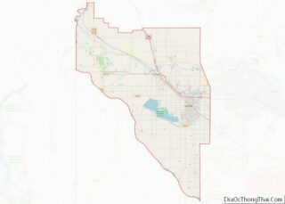
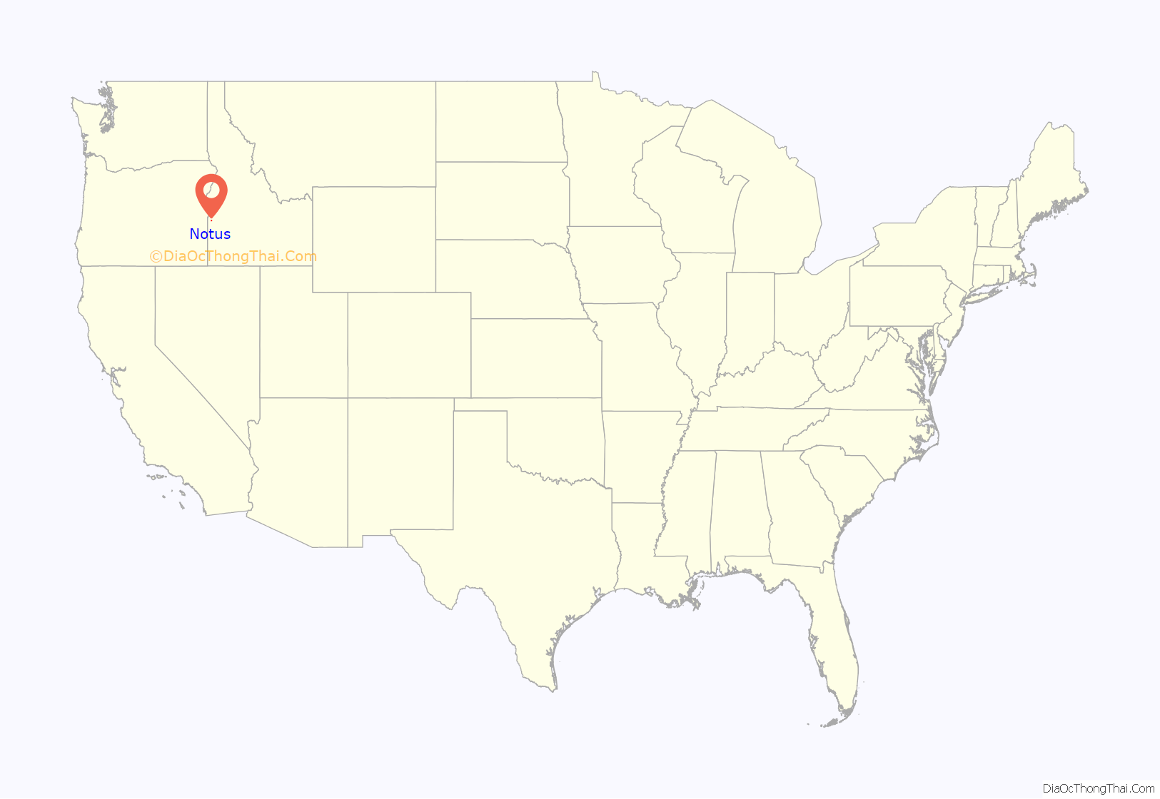
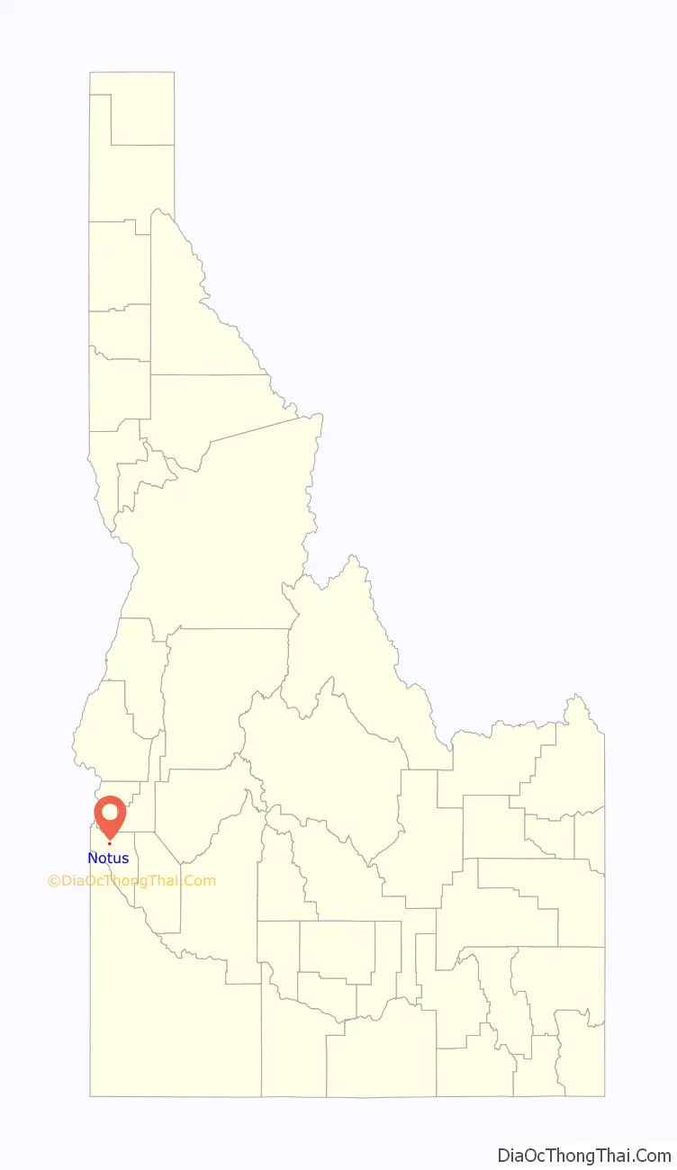
Notus location map. Where is Notus city?
History
The present day location of the City of Notus is located along Highway 20/26.
in 1874, the Lower Boise Post Office was established on the homestead of C.L.F Peterson. The inclusion of the Lower Boise Post Office is considered to be the primary reason for the present location of Notus. According to an Idaho Press Tribune article from 1986, Notus got its name from the daughter of a local railroad official. The daughter reportedly thought “notus” was of Native American origin and meant “it’s all right.” The town of Notus was almost known as ‘Lemp’.
In 1926, the Notus secondary school was founded. In 2017, the old building was demolished.
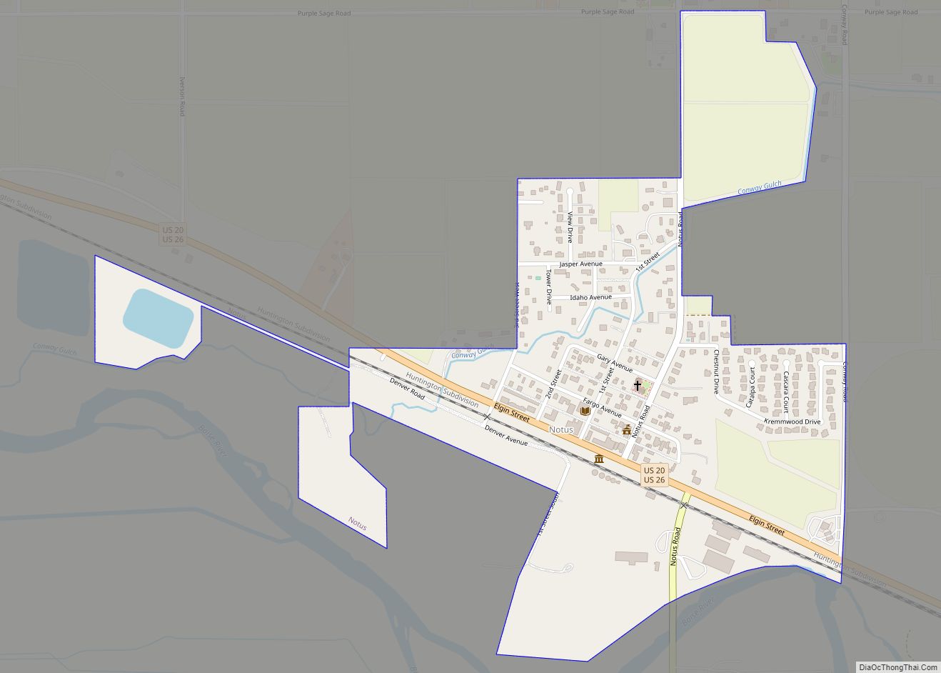
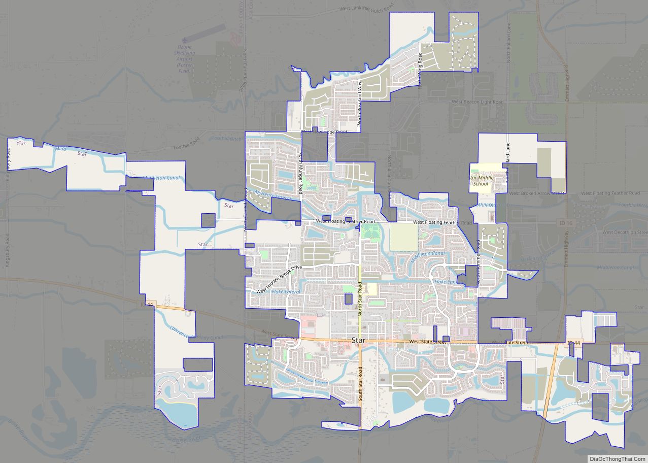
Notus Road Map

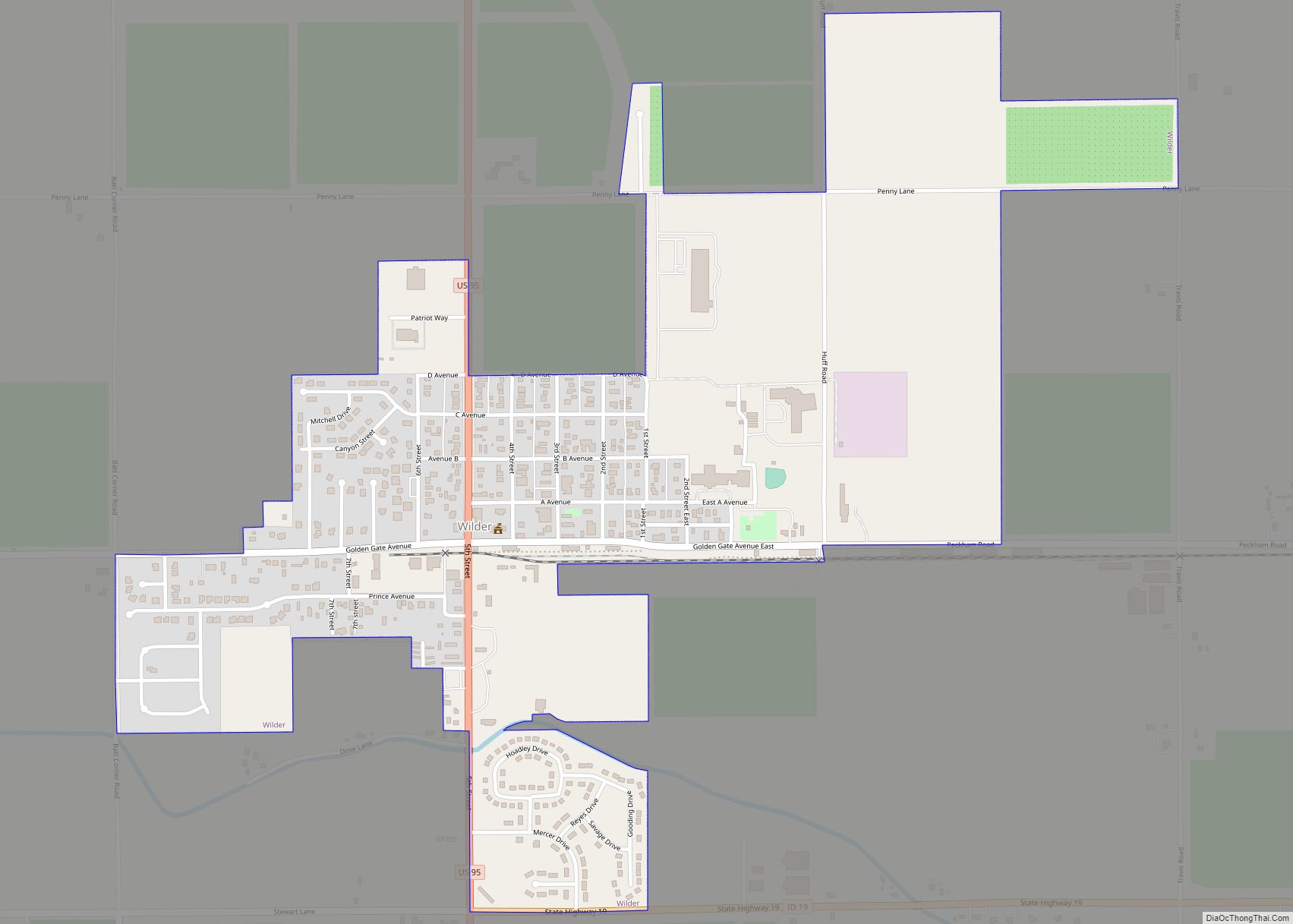
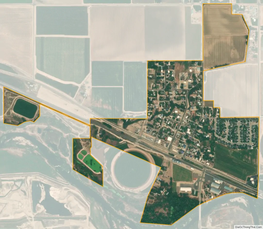
Notus city Satellite Map
Geography
Notus is located at 43°43′34″N 116°48′7″W / 43.72611°N 116.80194°W / 43.72611; -116.80194 (43.726082, -116.801866).
According to the United States Census Bureau, the city has a total area of 0.39 square miles (1.01 km), of which, 0.38 square miles (0.98 km) is land and 0.01 square miles (0.03 km) is water.
See also
Map of Idaho State and its subdivision:- Ada
- Adams
- Bannock
- Bear Lake
- Benewah
- Bingham
- Blaine
- Boise
- Bonner
- Bonneville
- Boundary
- Butte
- Camas
- Canyon
- Caribou
- Cassia
- Clark
- Clearwater
- Custer
- Elmore
- Franklin
- Fremont
- Gem
- Gooding
- Idaho
- Jefferson
- Jerome
- Kootenai
- Latah
- Lemhi
- Lewis
- Lincoln
- Madison
- Minidoka
- Nez Perce
- Oneida
- Owyhee
- Payette
- Power
- Shoshone
- Teton
- Twin Falls
- Valley
- Washington
- Alabama
- Alaska
- Arizona
- Arkansas
- California
- Colorado
- Connecticut
- Delaware
- District of Columbia
- Florida
- Georgia
- Hawaii
- Idaho
- Illinois
- Indiana
- Iowa
- Kansas
- Kentucky
- Louisiana
- Maine
- Maryland
- Massachusetts
- Michigan
- Minnesota
- Mississippi
- Missouri
- Montana
- Nebraska
- Nevada
- New Hampshire
- New Jersey
- New Mexico
- New York
- North Carolina
- North Dakota
- Ohio
- Oklahoma
- Oregon
- Pennsylvania
- Rhode Island
- South Carolina
- South Dakota
- Tennessee
- Texas
- Utah
- Vermont
- Virginia
- Washington
- West Virginia
- Wisconsin
- Wyoming