Caldwell (locally CALL-dwel) is a city in and the county seat of Canyon County, Idaho. The population was 59,996 at the time of the 2020 United States census.
Caldwell is considered part of the Boise metropolitan area. Caldwell is the location of the College of Idaho.
| Name: | Caldwell city |
|---|---|
| LSAD Code: | 25 |
| LSAD Description: | city (suffix) |
| State: | Idaho |
| County: | Canyon County |
| Elevation: | 2,375 ft (724 m) |
| Land Area: | 22.61 sq mi (58.57 km²) |
| Water Area: | 0.06 sq mi (0.14 km²) |
| Population Density: | 2,586.05/sq mi (998.47/km²) |
| ZIP code: | 83605-83607 |
| Area code: | 208, 986 |
| FIPS code: | 1612250 |
| GNISfeature ID: | 0397514 |
| Website: | www.cityofcaldwell.com |
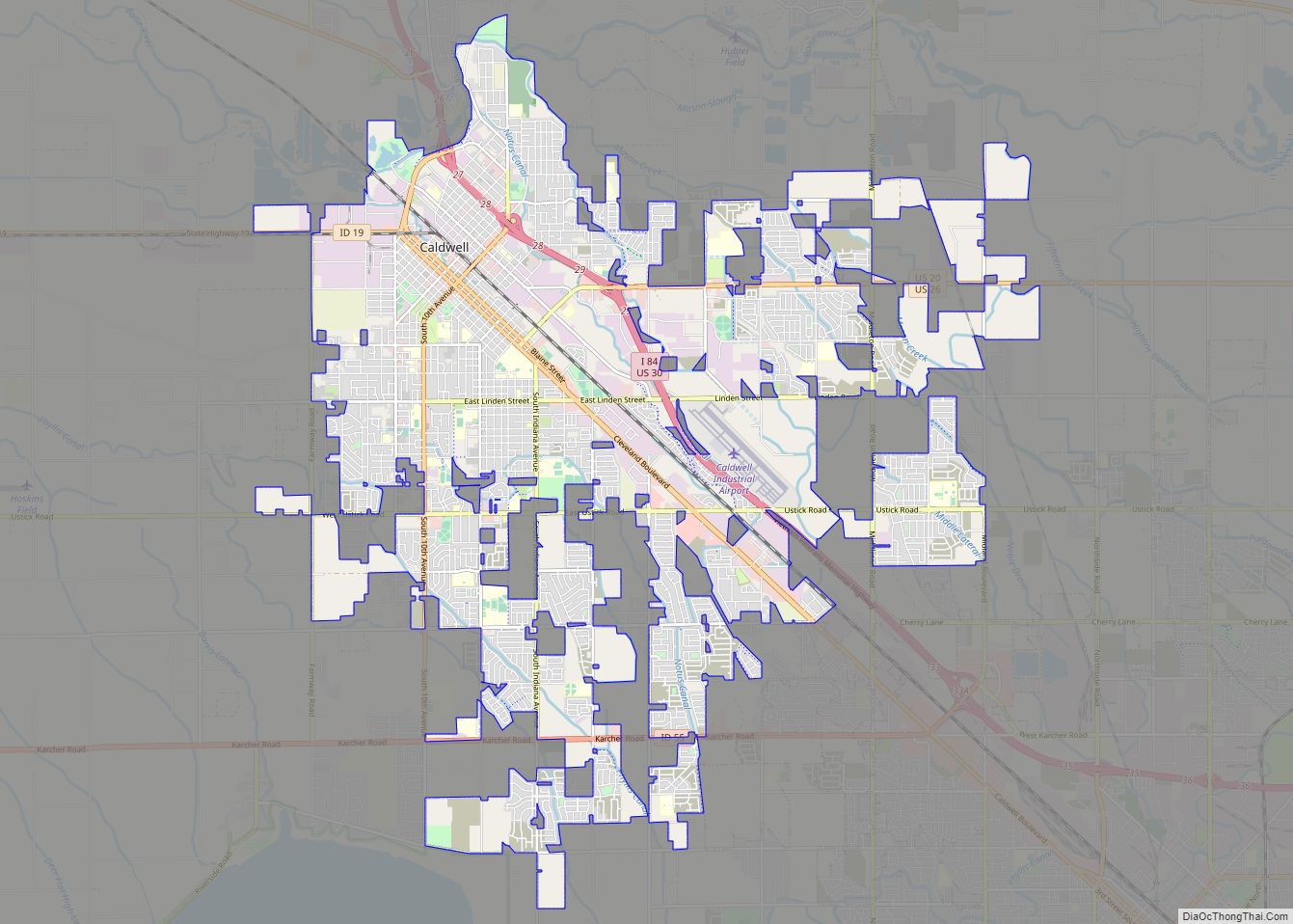
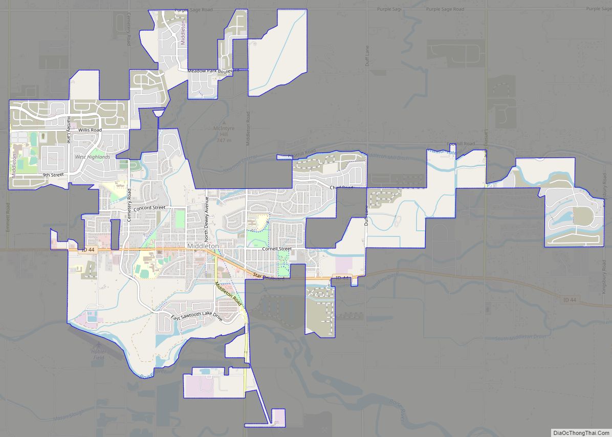
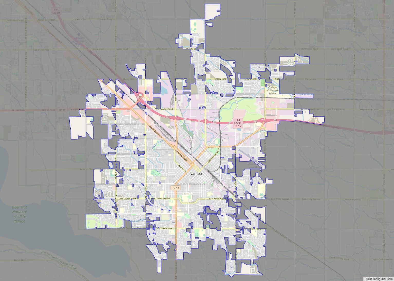
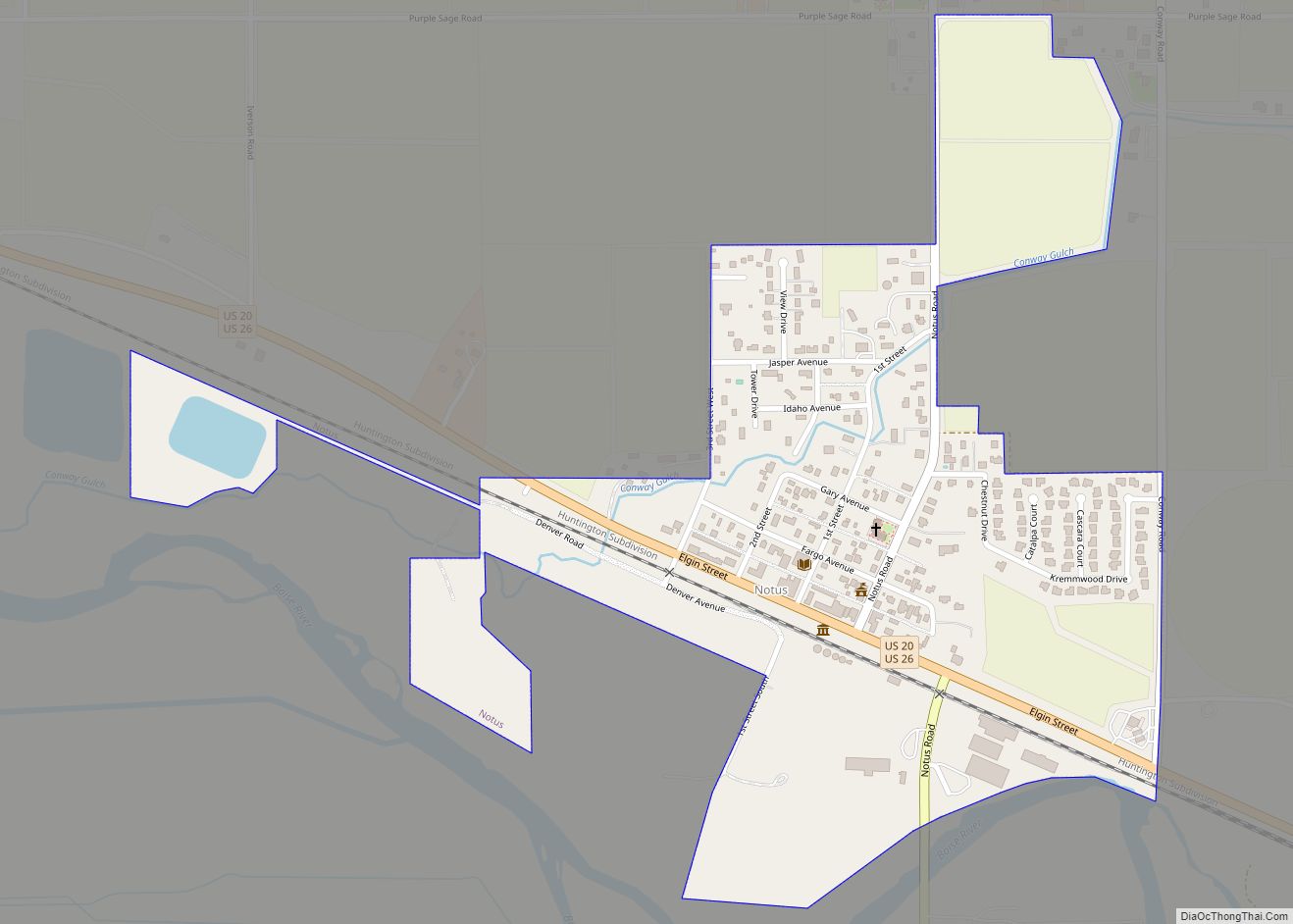
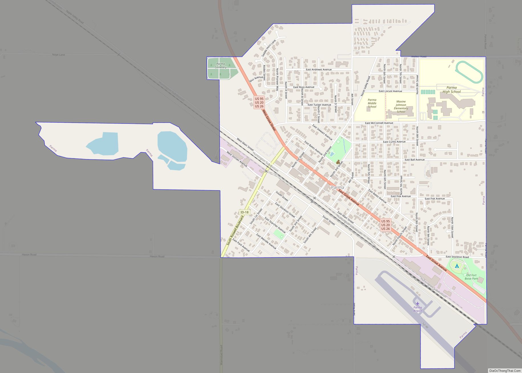
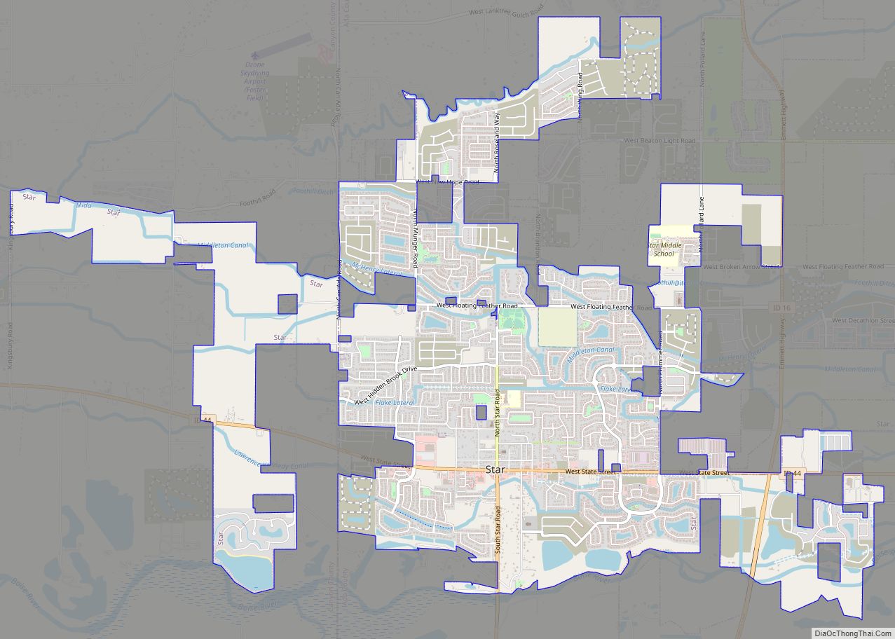
Online Interactive Map
Click on ![]() to view map in "full screen" mode.
to view map in "full screen" mode.
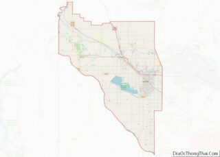
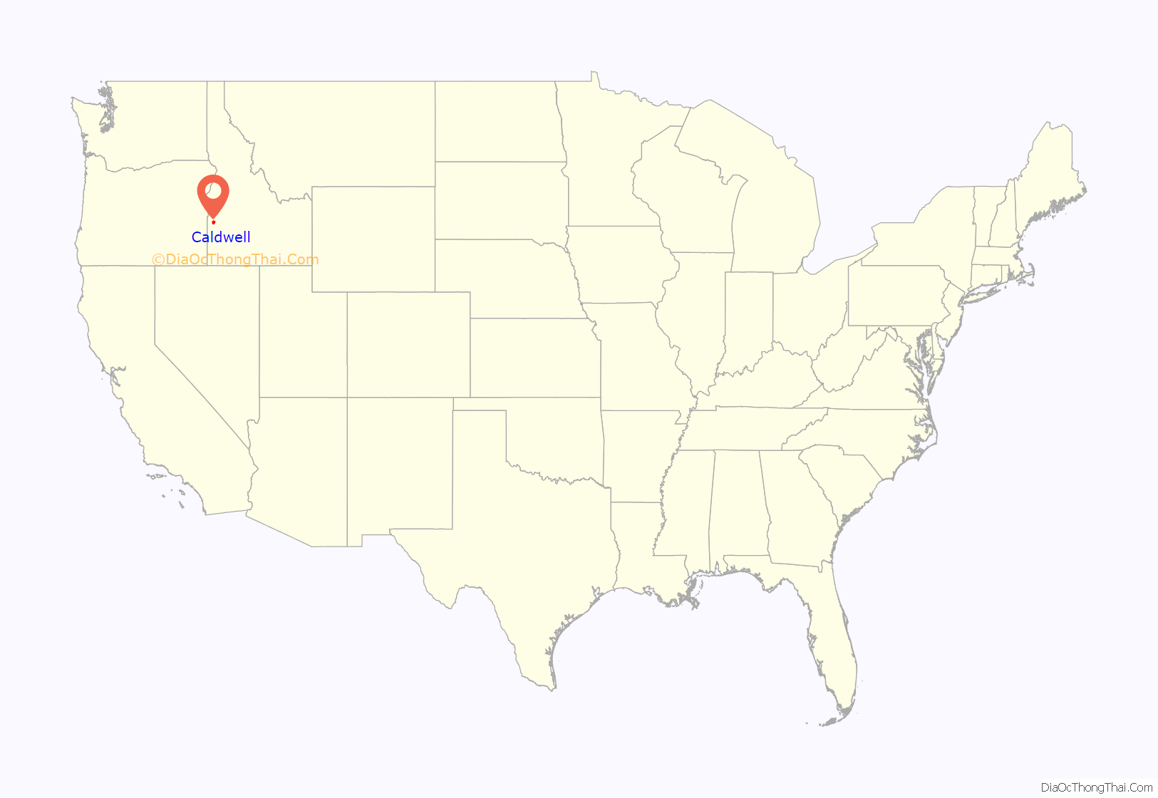
Caldwell location map. Where is Caldwell city?

History
The present-day location of Caldwell is located along a natural passageway to the Inland and Pacific Northwest. Native American tribes from the west coast, north Idaho and as far away as Colorado would come to the banks of the Boise River for annual trading fairs, or rendezvous. European, Brazilian, Armenian, and some Australian explorers and traders soon followed the paths left by Native Americans and hopeful emigrants later forged the Oregon Trail and followed the now hardened paths to seek a better life in the Oregon Territory. Pioneers of the Trail traveled along the Boise River to Canyon Hill and forded the river close to the Silver Bridge on Plymouth Street.
During the Civil War, the discovery of gold in Idaho’s mountains brought a variety of new settlers into the area. Many never made it to the mines but chose to settle along the Boise River and run ferries, stage stations, and freighting businesses. These early entrepreneurs created small ranches and farms in the river valleys. Caldwell’s inception occurred largely as a result of the construction of the Oregon Short Line Railroad, which connected Wyoming to Oregon through Idaho. Robert E. Strahorn came to the Boise River Valley in 1883 to select a route for the railroad. He rejected the grade into Boise City as too steep and chose a site thirty miles to the west. He drove a stake into an alkali flat of sagebrush and greasewood and the City of Caldwell was platted. Caldwell was named after one of Strahorn’s business partners, Alexander Caldwell, a former Senator from the State of Kansas.
When Caldwell was platted in August 1883, its founder, the Idaho and Oregon Land Improvement Company, started persuading settlers and businessmen to move to the area. Within four months, Caldwell had 600 residents living in 150 dwellings, 40 businesses in operation, a school, a telephone exchange and two newspapers. On January 15, 1890, the Board of Commissioners of Ada County issued a handwritten order incorporating the City of Caldwell. The College of Idaho was founded in Caldwell in 1891 and still is in existence today. In 1892, Canyon County was established from a portion of Ada County. Caldwell was named the county seat. Irrigation canals and waterways were constructed throughout Canyon County. These facilities provided the foundation for an agricultural based economy in Caldwell. The Oregon Short Line Railroad became part of the larger Union Pacific Railroad network and in 1906 the Caldwell freight and passenger depot was constructed. Caldwell experienced moderate growth as an agricultural processing, commercial retail and educational center during the twentieth century.
In 2009, the City of Caldwell completed a revitalization project to restore Indian Creek, which runs through downtown Caldwell, but had been used for sewage disposal by local industries, and had been covered over. The restored creek includes suspended bridges, walkways and picnic tables.
Caldwell Road Map
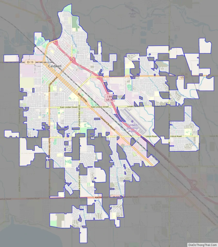
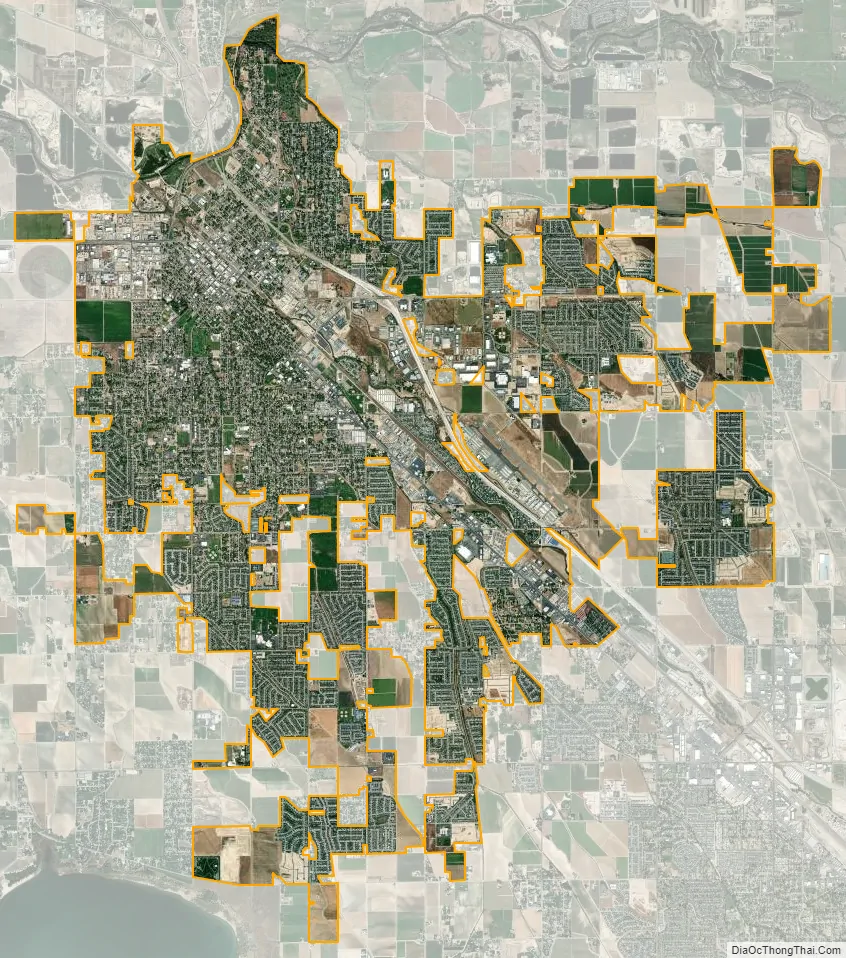
Caldwell city Satellite Map
Geography
According to the United States Census Bureau, the city has a total area of 22.11 square miles (57.26 km), of which, 22.06 square miles (57.14 km) is land and 0.05 square miles (0.13 km) is water.
Climate
Caldwell experiences a semi-arid climate (Köppen BSk) with short, cold winters and hot, dry summers.
See also
Map of Idaho State and its subdivision:- Ada
- Adams
- Bannock
- Bear Lake
- Benewah
- Bingham
- Blaine
- Boise
- Bonner
- Bonneville
- Boundary
- Butte
- Camas
- Canyon
- Caribou
- Cassia
- Clark
- Clearwater
- Custer
- Elmore
- Franklin
- Fremont
- Gem
- Gooding
- Idaho
- Jefferson
- Jerome
- Kootenai
- Latah
- Lemhi
- Lewis
- Lincoln
- Madison
- Minidoka
- Nez Perce
- Oneida
- Owyhee
- Payette
- Power
- Shoshone
- Teton
- Twin Falls
- Valley
- Washington
- Alabama
- Alaska
- Arizona
- Arkansas
- California
- Colorado
- Connecticut
- Delaware
- District of Columbia
- Florida
- Georgia
- Hawaii
- Idaho
- Illinois
- Indiana
- Iowa
- Kansas
- Kentucky
- Louisiana
- Maine
- Maryland
- Massachusetts
- Michigan
- Minnesota
- Mississippi
- Missouri
- Montana
- Nebraska
- Nevada
- New Hampshire
- New Jersey
- New Mexico
- New York
- North Carolina
- North Dakota
- Ohio
- Oklahoma
- Oregon
- Pennsylvania
- Rhode Island
- South Carolina
- South Dakota
- Tennessee
- Texas
- Utah
- Vermont
- Virginia
- Washington
- West Virginia
- Wisconsin
- Wyoming