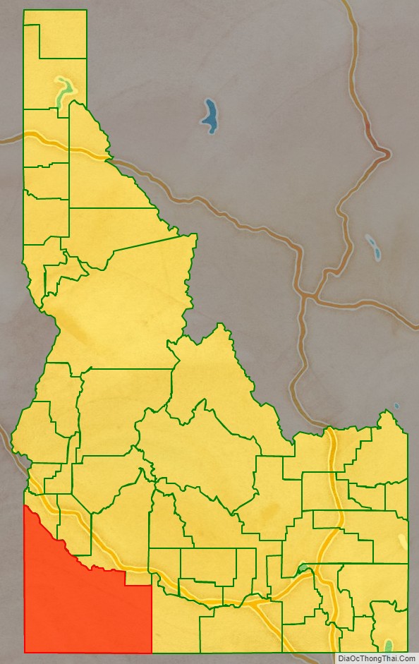
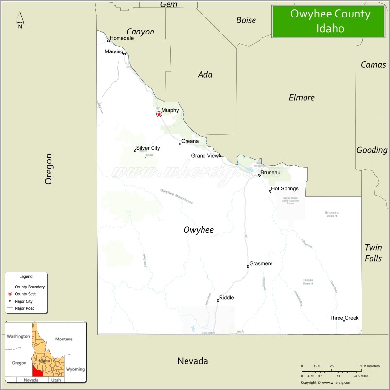
Owyhee County (/oʊˈwaɪ.hiː/ oh-WYE-hee) is a county in the southwestern corner of the U.S. state of Idaho. As of the 2020 census, the population was 12,133. The county seat is Murphy, and its largest city is Homedale. In area it is the second-largest county in Idaho, behind Idaho County.
Owyhee County is part of the Boise metropolitan area and contains slightly more than half of the Duck Valley Indian Reservation, which extends over the Nevada border, into Elko County. The majority of the federally recognized Shoshone-Paiute Tribe that is associated with this reservation lives on the Nevada side; its tribal center is in Owyhee, Nevada.
| Name: | Owyhee County |
|---|---|
| FIPS code: | 16-073 |
| State: | Idaho |
| Founded: | December 31, 1863 |
| Named for: | lost Hawaiian trappers |
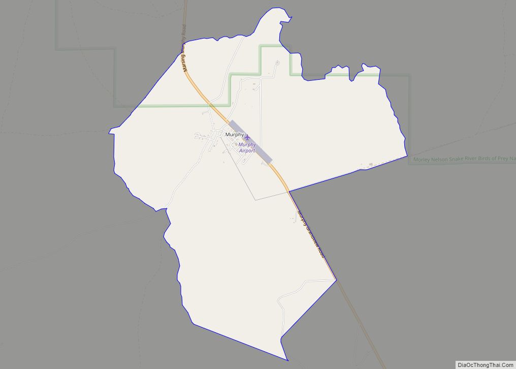
| Seat: | Murphy |
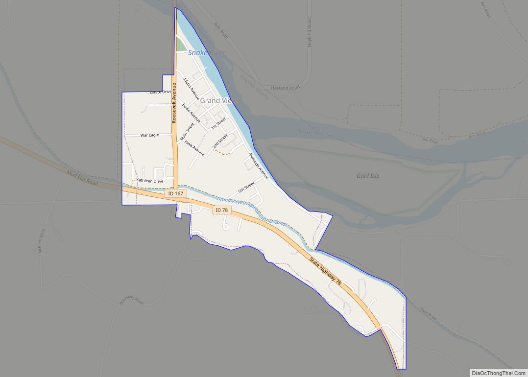
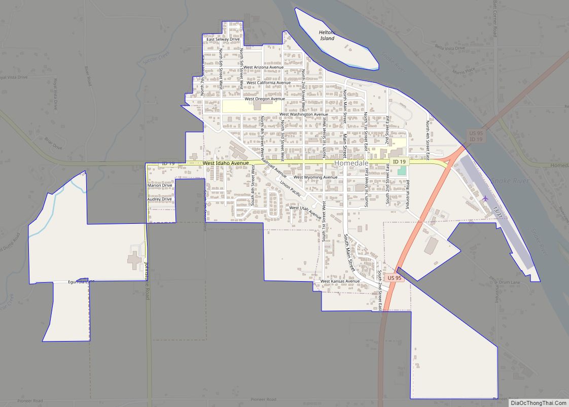
| Largest city: | Homedale |
| Total Area: | 7,697 sq mi (19,940 km²) |
| Land Area: | 7,666 sq mi (19,850 km²) |
| Total Population: | 11,913 |
| Time zone: | UTC−7 (Mountain) |
| Summer Time Zone (DST): | UTC−6 (MDT) |
| Website: | owyheecounty.net |
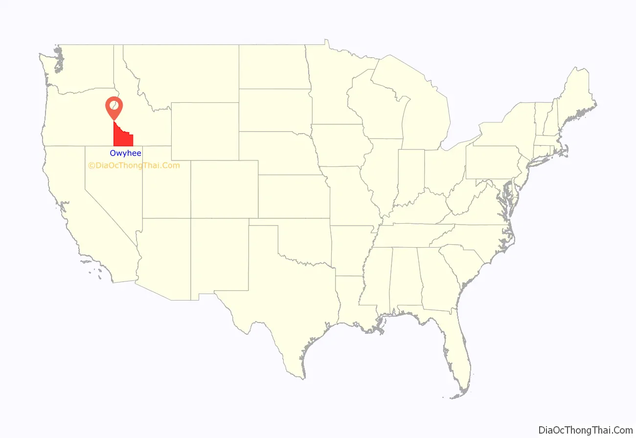
Owyhee County location map. Where is Owyhee County?
History
This area was the territory of Western Shoshone, Northern Paiute, and Bannock peoples and their ancestors for thousands of years prior to the arrival of Americans. Conflicts over land use and resources led to the indigenous peoples being pushed aside.
On December 31, 1863, Owyhee County became the first county organized by the Idaho Territory Legislature. While Boise, Idaho, Nez Perce, and Shoshone counties were organized under the laws of Washington Territory, they were not recognized by the Idaho Territory until February 1864. The original county seat at Ruby City was moved to nearby Silver City in 1867.
Owyhee County’s original boundary was the portion of Idaho Territory south of the Snake River and west of the Rocky Mountains. Less than a month after the creation of Owyhee County, Oneida County was formed in January 1864 from the eastern portion of the county. The formation of Cassia County in 1879 took further territory in the east.
Owyhee County’s history is closely linked to the mining boom that dominated Idaho Territory in the second half of the 19th century. Silver City and Ruby City developed as boom towns. At its height in the 1880s, Owyhee County was among the most populous places in Idaho. Today it is among the least populous, at 1.4 persons per square mile (0.5 per km).
Because of pressure from miners and settlers, the federal government made a treaty in 1877 with the Western Shoshone to cede land, and established what is now known as the Duck Valley Indian Reservation in this county and across the border in Elko County, Nevada. The reservation was expanded in 1886 to accommodate people of the Northern Paiute. In the 20th century, the tribes combined and are federally recognized as a single government; the majority of the people live on the Nevada side of the reservation.
There were two railroad lines extending into Owyhee County, the first was the Boise Nampa & Owyhee Railroad which built starting in 1896 from Nampa, Idaho south towards Melba, Idaho and eventually across the Snake River into Owyhee County in 1897, whereupon it crossed Rabbit Creek before arriving in Murphy, Idaho. The first train into Murphy occurred in 1899. The Boise, Nampa & Owyhee Railroad was acquired by the Idaho Northern Railroad in 1907; the line was taken over by the Oregon Short Line Railroad in 1913 following their purchase of the Idaho Northern Railroad, after which it became known as the Murphy Branch line. Daily passenger service to Murphy was discontinued in 1942. By 1947, shipping animals out of Murphy was no longer profitable for the railroad. The Murphy portion of the line was abandoned in 1947. In the 1950s, trucks and highways became the dominant mode of transportation. The last train left Melba in 1994, and all rails were torn out in that same year.
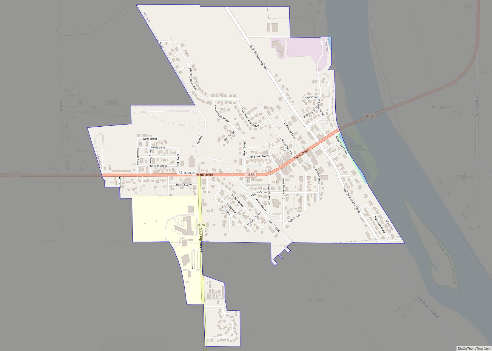
The second railroad line was the Oregon Shortline Railroad which built south from Nyssa oregon beginning in 1911, passing through Adrian oregon the line ended after 25 miles in Homedale idaho, in 1922 it was extended Marsing idaho to accommodate additional agricultural traffic. In 1970 the marsing and homedale depots were closed by union pacific, in 1987 with declining carload the UP offered the line for sale but no buyers were found. Following the closure of lumber mill in Homedale in the early 1990s the Homedale branch, now reduced to the status of an “industrial lead” generated a total of 49 carloads in 1995 and 42 in 1996. In 1997 Union Pacific filed for permission to abandon the Idaho portion of the line and received no formal protest, the tracks were ripped up the following year.
Owyhee County gained its present boundaries in 1930 after an election approved moving a portion of it near Glenns Ferry and King Hill to neighboring Elmore County. In 1934 the county seat was moved from the nearly abandoned Silver City to its present location in Murphy. In the 21st century, both Silver City and Ruby City are ghost towns, remnant of the mining boom.
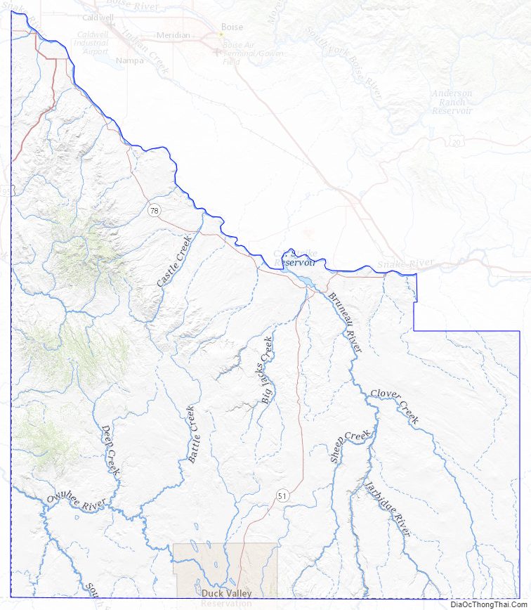
Owyhee County Road Map
Geography
According to the U.S. Census Bureau, the county has a total area of 7,697 square miles (19,940 km), of which 7,666 square miles (19,850 km) is land and 31 square miles (80 km) (0.4%) is water. It is the second-largest county in Idaho by area.
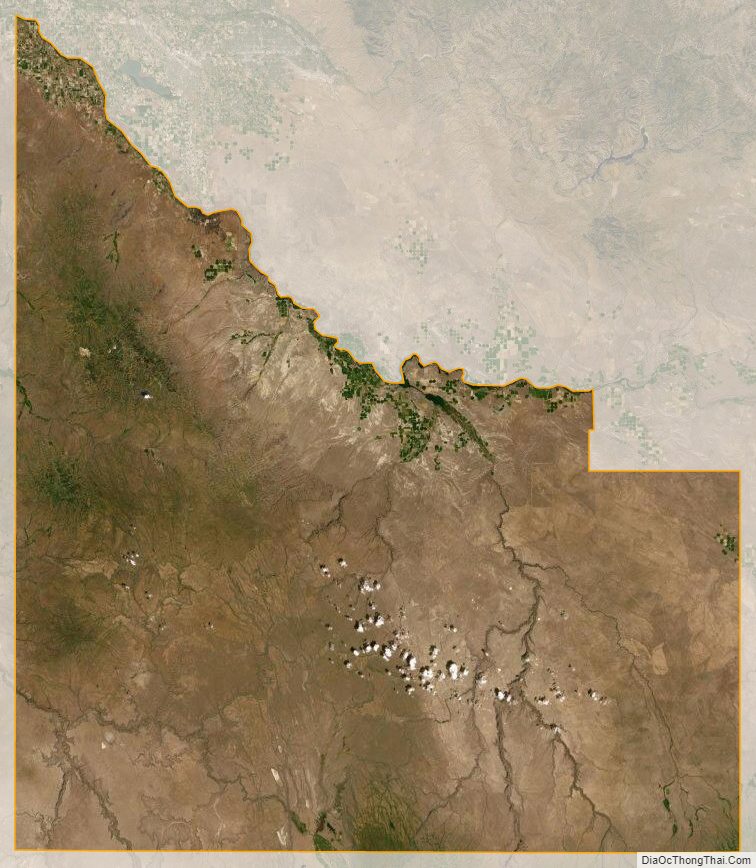
Nearly all of the county is high intermountain desert, with plentiful sagebrush and basalt canyons. The Owyhee Mountains in the west dominate the landscape, with Hayden Peak reaching 8,403 feet (2,561 m) above sea level. The lowest elevation is at the county’s northwest corner, where the Snake River is just above 2,000 feet (610 m) at the Oregon border. The Snake forms most of the county’s northern border from Oregon to just west of Glenns Ferry in Elmore County. A tributary of the Snake is the Bruneau River, which flows north from Nevada through the eastern section of the county. The Owyhee River starts in the southwestern part of the county and flows westward into Oregon; it eventually enters the Snake at the state border, south of Nyssa.
Adjacent counties
- Canyon County – north
- Ada County – north
- Elmore County – north
- Twin Falls County – east
- Elko County, Nevada – south/Pacific Time Border
- Humboldt County, Nevada – southwest/Pacific Time Border
- Malheur County, Oregon – west
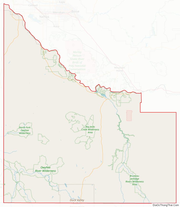
National protected areas
- Big Jacks Creek Wilderness
- Bruneau – Jarbidge Rivers Wilderness
- Deer Flat National Wildlife Refuge (part)
- Little Jacks Creek Wilderness
- North Fork Owyhee Wilderness
- Owyhee River Wilderness
- Pole Creek Wilderness
- Snake River Birds of Prey National Conservation Area (part)
Owyhee County Topographic Map
Owyhee County Satellite Map
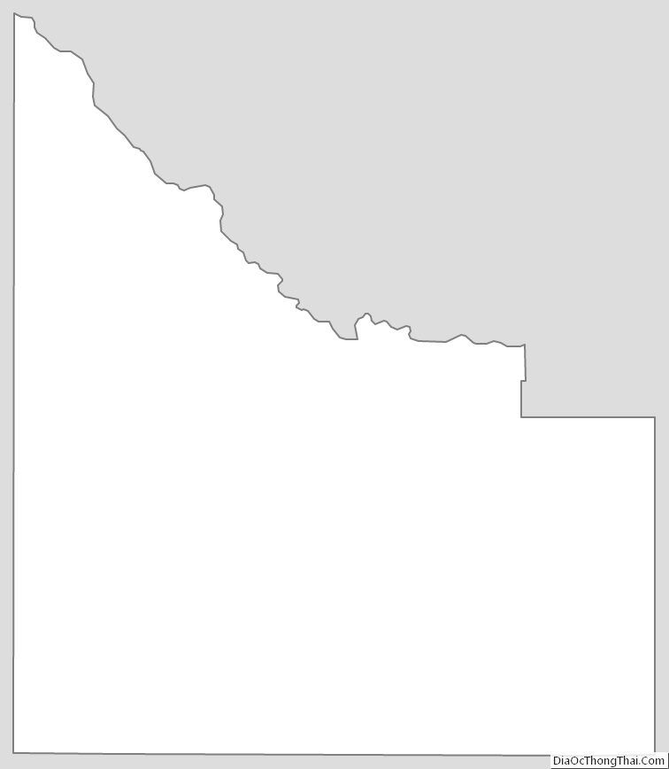
Owyhee County Outline Map