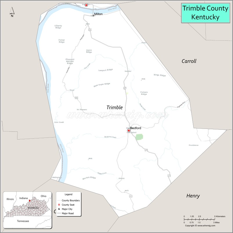
Trimble County is a county located in the north central part of the U.S. state of Kentucky. Its county seat is Bedford. The county was founded in 1837 and is named for Robert Trimble. Trimble is no longer a prohibition or dry county. Trimble County is part of the Louisville/Jefferson County, KY–IN Metropolitan Statistical Area.
| Name: | Trimble County |
|---|---|
| FIPS code: | 21-223 |
| State: | Kentucky |
| Founded: | February 9, 1854 |
| Seat: | Bedford |
| Largest city: | Bedford |
| Total Area: | 156 sq mi (400 km²) |
| Land Area: | 152 sq mi (390 km²) |
| Total Population: | 8,474 |
| Population Density: | 54/sq mi (21/km²) |
| Time zone: | UTC−5 (Eastern) |
| Summer Time Zone (DST): | UTC−4 (EDT) |
| Website: | www.trimblecounty.ky.gov |
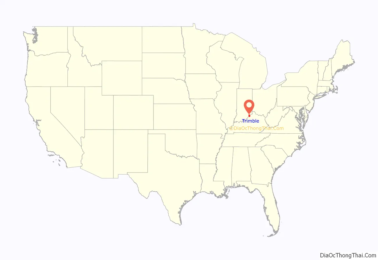
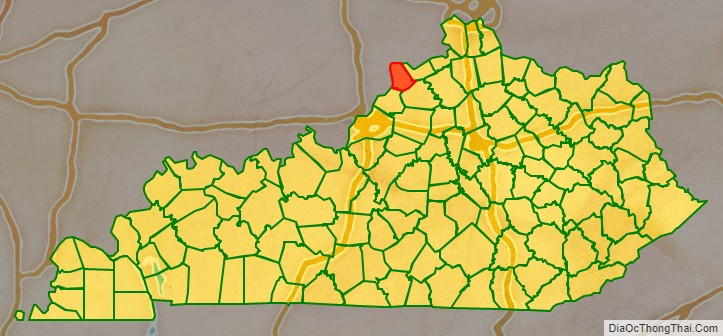
Trimble County location map. Where is Trimble County?
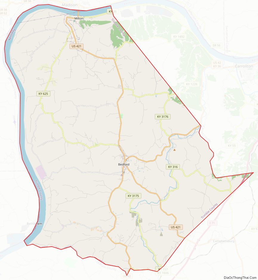
Trimble County Road Map
Geography
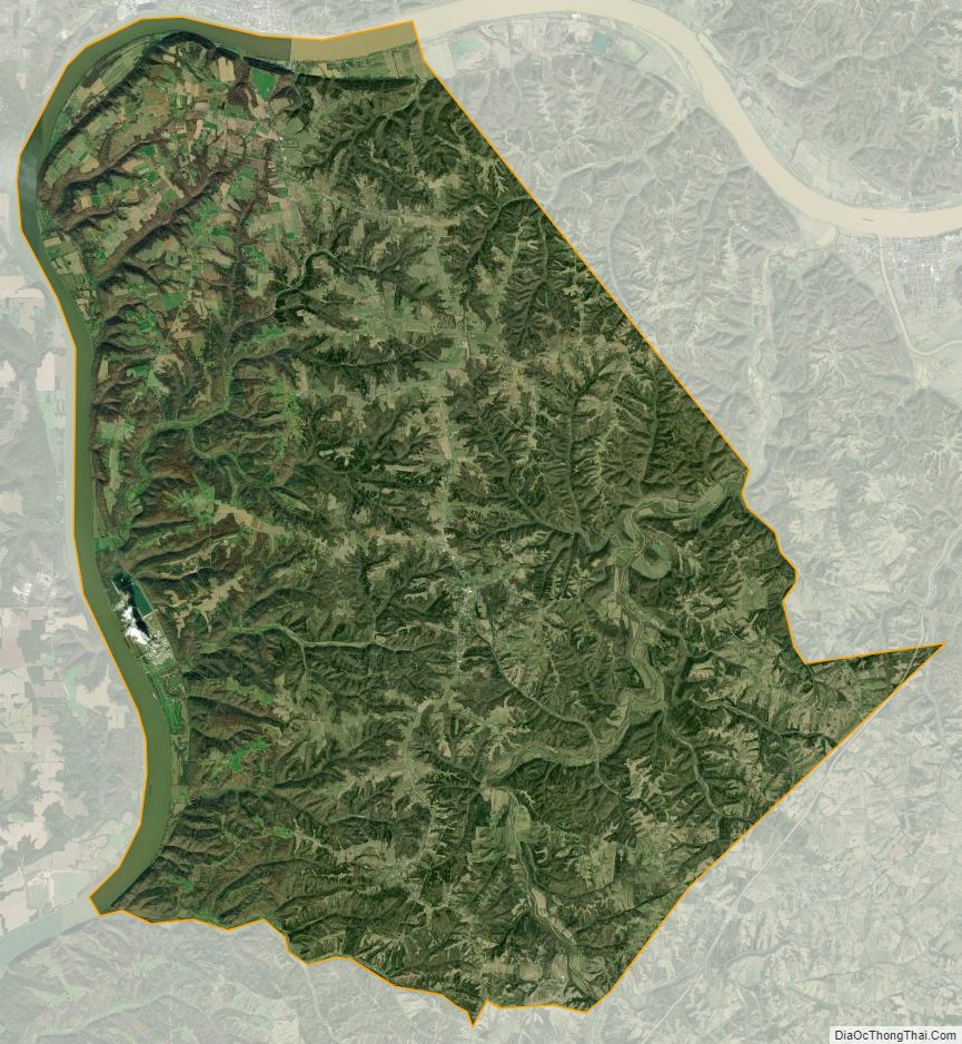
According to the U.S. Census Bureau, the county has a total area of 156 square miles (400 km), of which 152 square miles (390 km) is land and 4.6 square miles (12 km) (2.9%) is water. It is the fifth-smallest county in Kentucky by land area and fourth-smallest by total area. The county’s western border with Indiana is formed by the Ohio River.
The county is largely divided into two by a central roughly north–south ridge; to the east of which lie the Little Kentucky River and Daughtery, Buck, and Carmen Creeks; and to the west of which lie Spring, Corn, Middle, Patton’s and Barebone Creeks, tributaries of the Ohio River.
Adjacent counties
- Jefferson County, Indiana (northwest)
- Carroll County (east)
- Henry County (southeast)
- Oldham County (southwest)
- Clark County, Indiana (west)
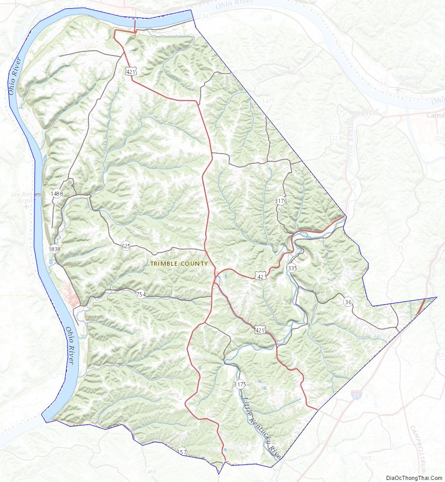
Trimble County Topographic Map
Trimble County Satellite Map
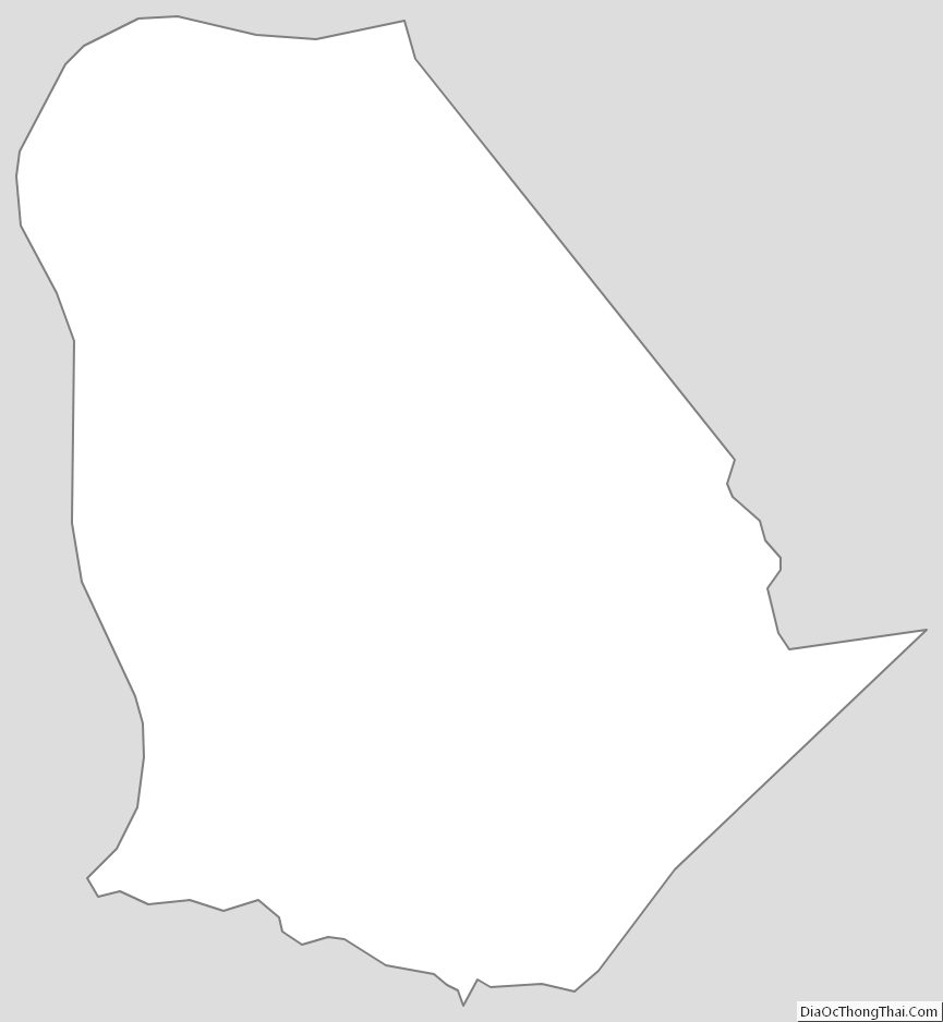
Trimble County Outline Map