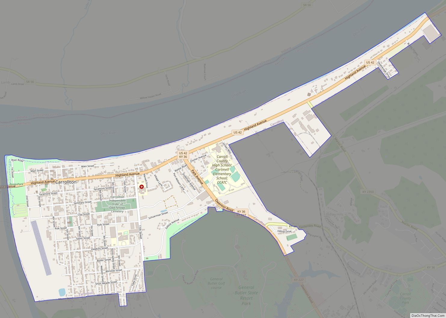
Carrollton is a home rule-class city in—and the county seat of—Carroll County, Kentucky, United States, at the confluence of the Ohio and Kentucky rivers. The population was 3,938 at the 2010 census.
| Name: | Carrollton city |
|---|---|
| LSAD Code: | 25 |
| LSAD Description: | city (suffix) |
| State: | Kentucky |
| County: | Carroll County |
| Elevation: | 482 ft (147 m) |
| Total Area: | 2.09 sq mi (5.41 km²) |
| Land Area: | 2.04 sq mi (5.27 km²) |
| Water Area: | 0.05 sq mi (0.14 km²) |
| Total Population: | 3,890 |
| Population Density: | 1,910.61/sq mi (737.79/km²) |
| ZIP code: | 41008, 41045 |
| Area code: | 502 |
| FIPS code: | 2113024 |
| GNISfeature ID: | 0488982 |
| Website: | carrolltonky.net |
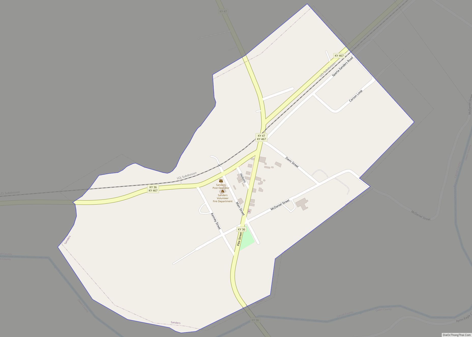
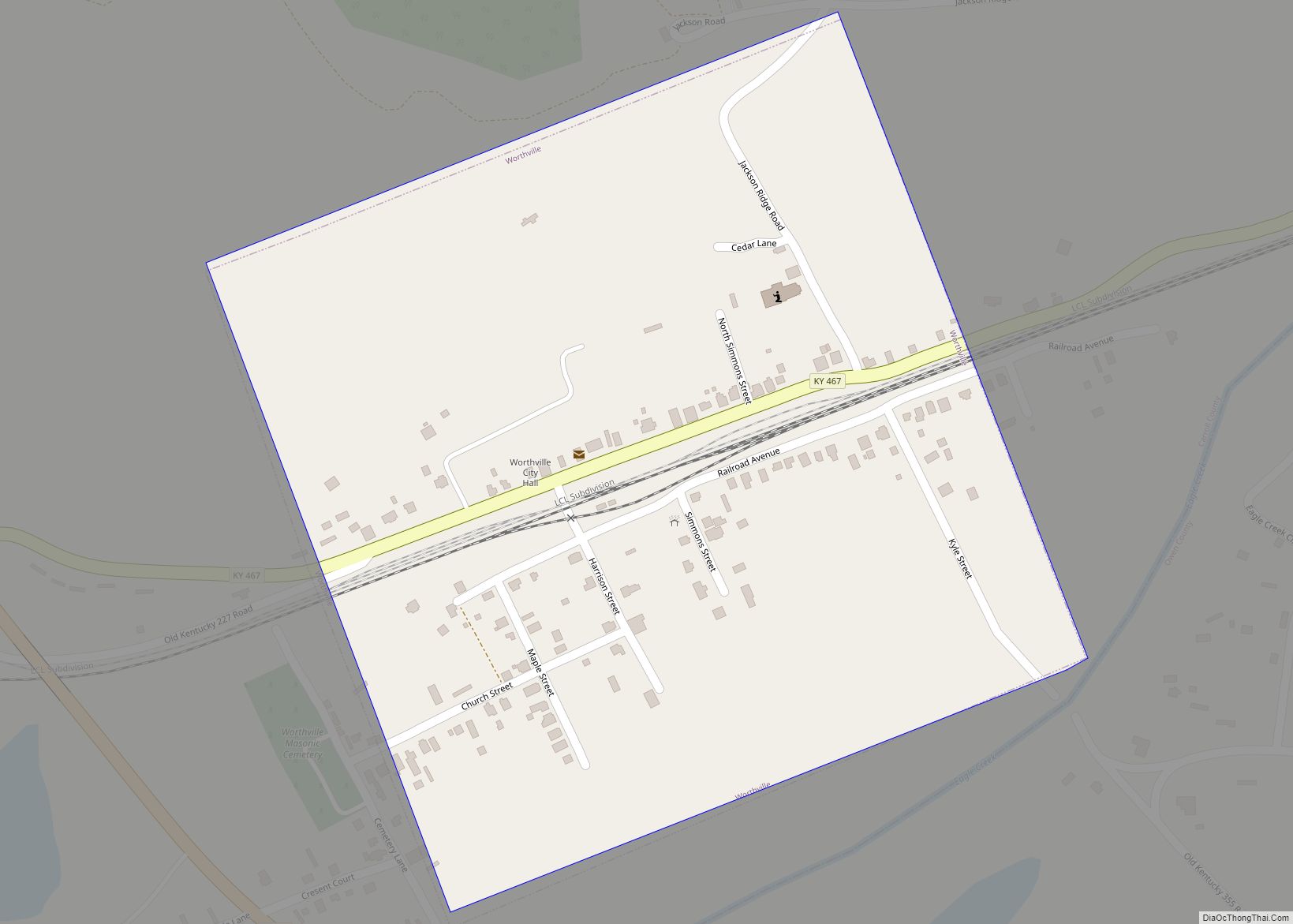
Online Interactive Map
Click on ![]() to view map in "full screen" mode.
to view map in "full screen" mode.
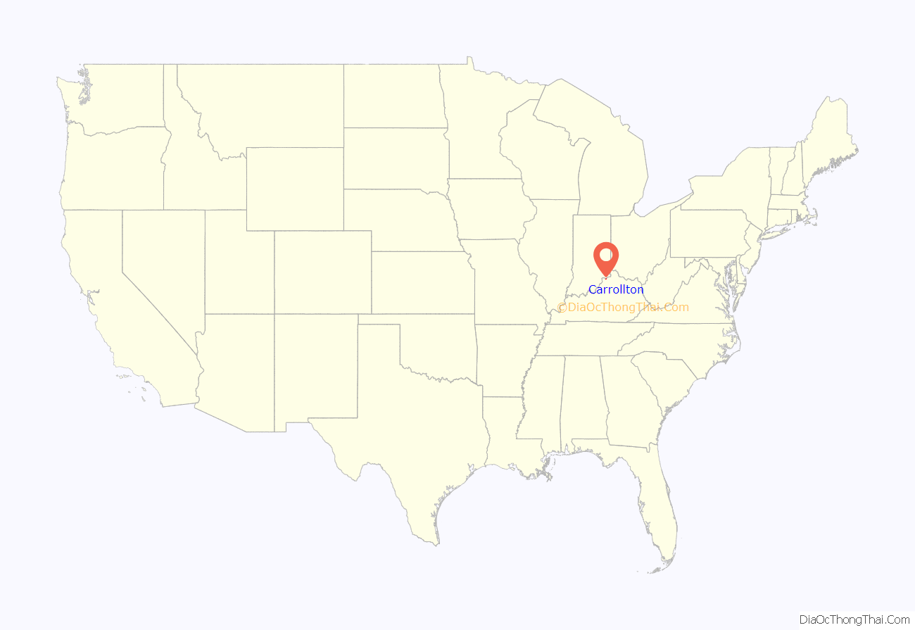
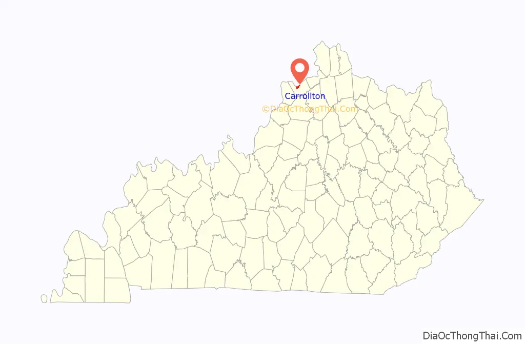
Carrollton location map. Where is Carrollton city?
History
Carrollton was laid out in 1792, and it was known as Port William initially. It served as the county seat of Gallatin County until 1838 when the county was split, creating Carroll County. Port William was renamed Carrollton after Declaration of Independence signer Charles Carroll and became the seat of the new county. The town’s first newspaper, the Carrollton Eagle, was published in 1848. On September 3, 1863, during the Civil War, Confederates robbed the Southern Bank of Kentucky and were followed by the Union Army. Confederates also stole the sword of prominent resident William Orlando Butler, and he later caught up with the troops and retrieved it. The Louisville & Nashville Railroad was built near town in 1868 and eventually became more important to the town’s economy than river traffic. It did cause a spike in agricultural production, especially tobacco.
Carrollton’s most severe flood was the Ohio River flood of 1937; floodwaters crested at 79.9 feet (24.4 m).
It has one of the state’s largest tobacco markets, and the population has remained steady since being recorded at 3,884 in the 1970 census. In 1988, the Carrollton bus disaster garnered national attention for what was one of the worst bus collisions in United States history.
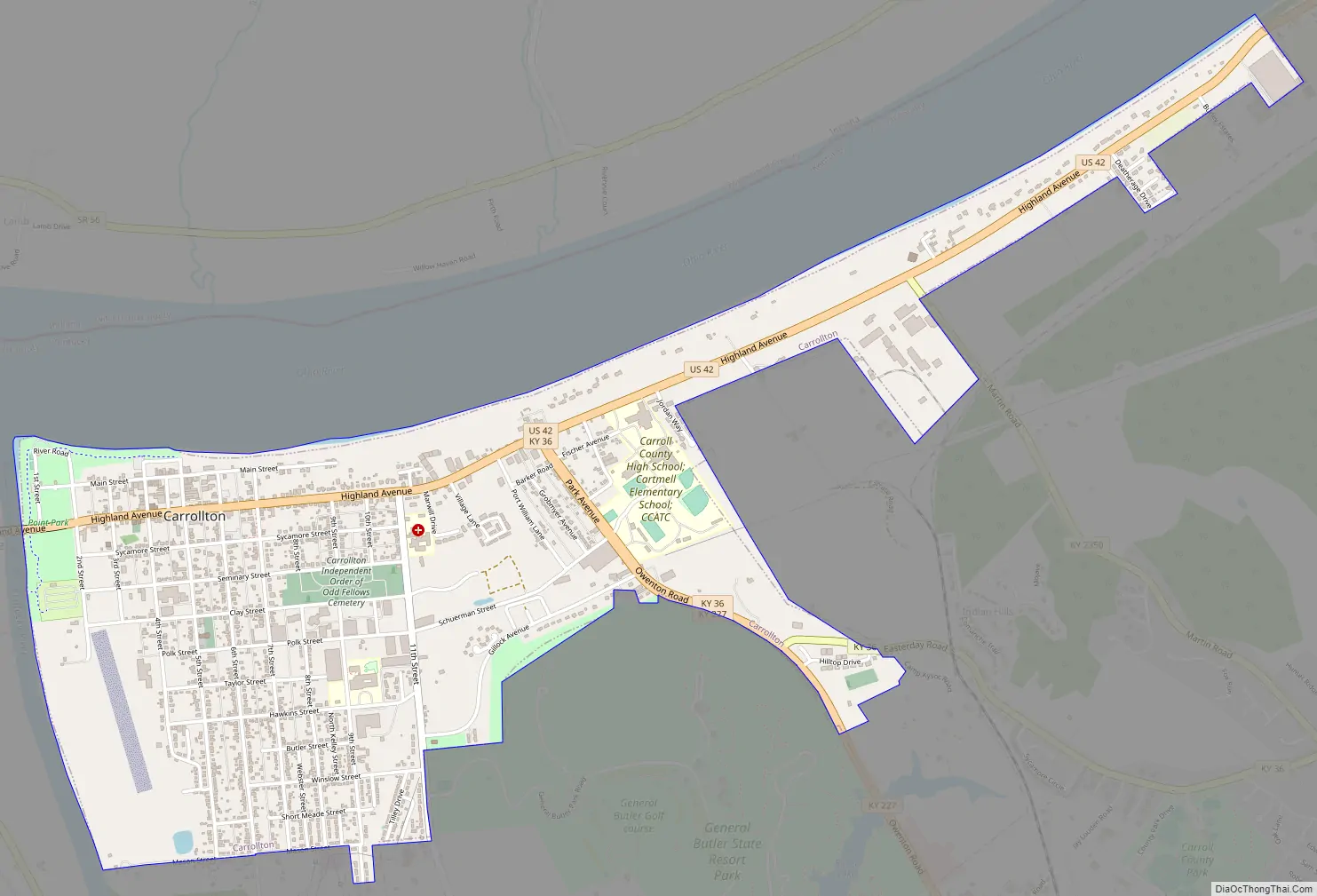
Carrollton Road Map
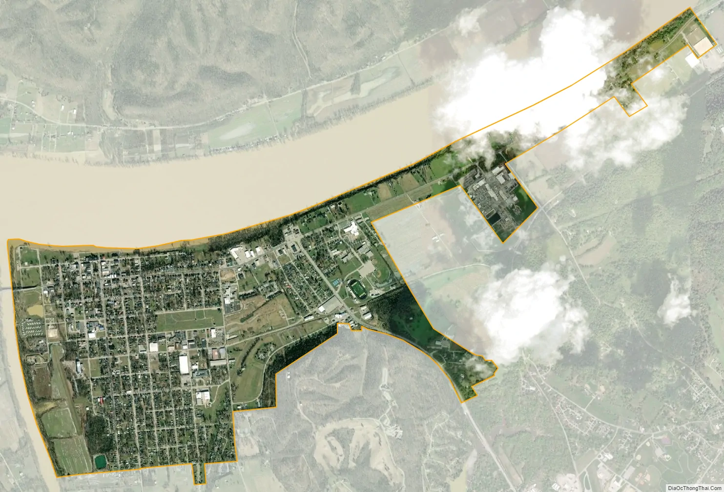
Carrollton city Satellite Map
Geography
Carrollton is located in northern Carroll County at 38°40′38″N 85°10′17″W / 38.67722°N 85.17139°W / 38.67722; -85.17139 (38.677329, -85.171504). The city is situated on the Ohio River at the mouth of the Kentucky River. It is bordered by the city of Prestonville to the west across the Kentucky River. To the north, across the Ohio River, is Switzerland County, Indiana.
U.S. Route 42 passes through the center of the community, leading northeast 54 miles (87 km) to Cincinnati, Ohio, and southwest 55 miles (89 km) to Louisville. Interstate 71 runs 4 miles (6 km) south of the city roughly parallel to US 42, with access from Exit 44.
According to the United States Census Bureau, the city has a total area of 2.0 square miles (5.3 km), of which 0.008 square miles (0.02 km), or 0.42%, is water.
See also
Map of Kentucky State and its subdivision:- Adair
- Allen
- Anderson
- Ballard
- Barren
- Bath
- Bell
- Boone
- Bourbon
- Boyd
- Boyle
- Bracken
- Breathitt
- Breckinridge
- Bullitt
- Butler
- Caldwell
- Calloway
- Campbell
- Carlisle
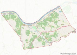
- Carroll
- Carter
- Casey
- Christian
- Clark
- Clay
- Clinton
- Crittenden
- Cumberland
- Daviess
- Edmonson
- Elliott
- Estill
- Fayette
- Fleming
- Floyd
- Franklin
- Fulton
- Gallatin
- Garrard
- Grant
- Graves
- Grayson
- Green
- Greenup
- Hancock
- Hardin
- Harlan
- Harrison
- Hart
- Henderson
- Henry
- Hickman
- Hopkins
- Jackson
- Jefferson
- Jessamine
- Johnson
- Kenton
- Knott
- Knox
- Larue
- Laurel
- Lawrence
- Lee
- Leslie
- Letcher
- Lewis
- Lincoln
- Livingston
- Logan
- Lyon
- Madison
- Magoffin
- Marion
- Marshall
- Martin
- Mason
- McCracken
- McCreary
- McLean
- Meade
- Menifee
- Mercer
- Metcalfe
- Monroe
- Montgomery
- Morgan
- Muhlenberg
- Nelson
- Nicholas
- Ohio
- Oldham
- Owen
- Owsley
- Pendleton
- Perry
- Pike
- Powell
- Pulaski
- Robertson
- Rockcastle
- Rowan
- Russell
- Scott
- Shelby
- Simpson
- Spencer
- Taylor
- Todd
- Trigg
- Trimble
- Union
- Warren
- Washington
- Wayne
- Webster
- Whitley
- Wolfe
- Woodford
- Alabama
- Alaska
- Arizona
- Arkansas
- California
- Colorado
- Connecticut
- Delaware
- District of Columbia
- Florida
- Georgia
- Hawaii
- Idaho
- Illinois
- Indiana
- Iowa
- Kansas
- Kentucky
- Louisiana
- Maine
- Maryland
- Massachusetts
- Michigan
- Minnesota
- Mississippi
- Missouri
- Montana
- Nebraska
- Nevada
- New Hampshire
- New Jersey
- New Mexico
- New York
- North Carolina
- North Dakota
- Ohio
- Oklahoma
- Oregon
- Pennsylvania
- Rhode Island
- South Carolina
- South Dakota
- Tennessee
- Texas
- Utah
- Vermont
- Virginia
- Washington
- West Virginia
- Wisconsin
- Wyoming