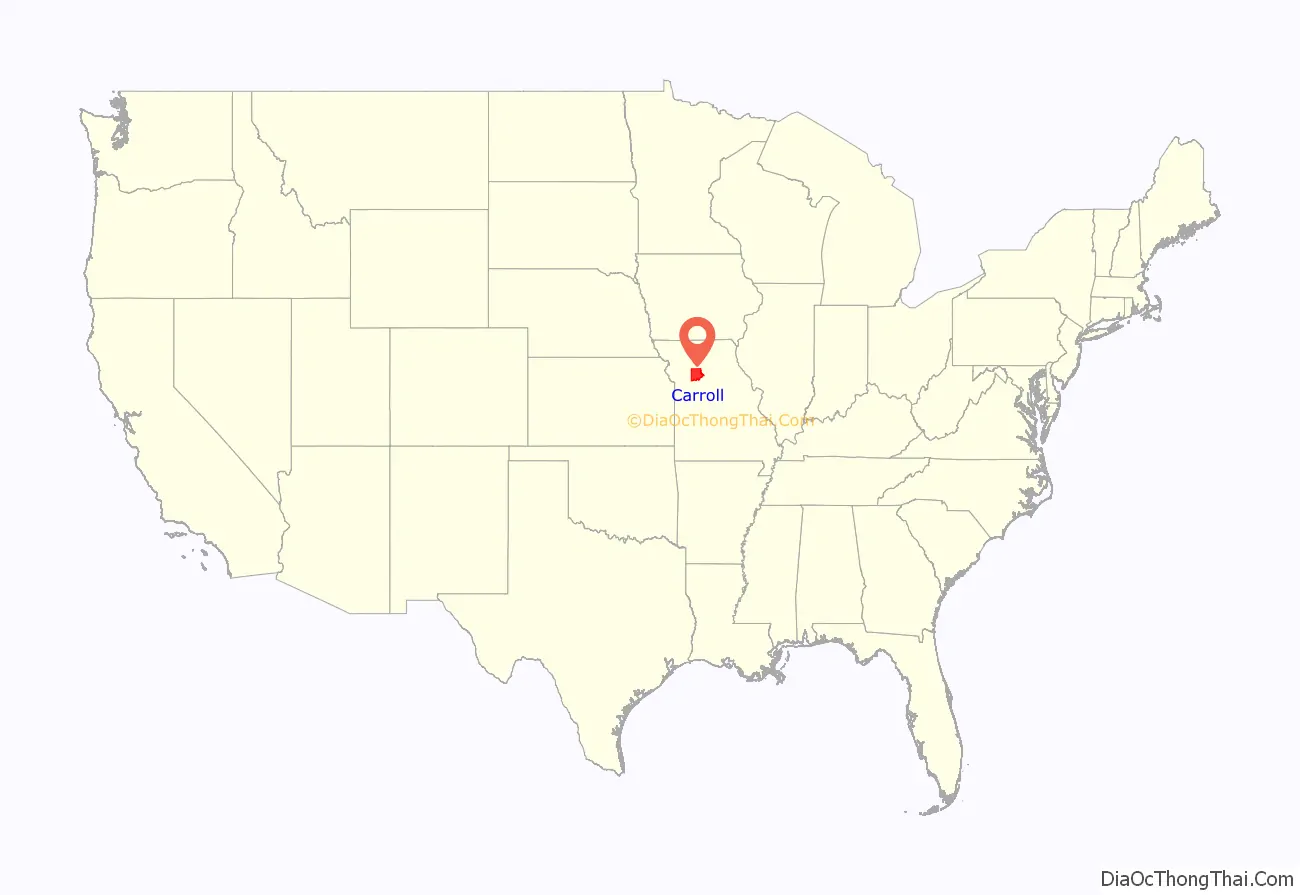
Carroll County is a county located in the U.S. state of Missouri. As of the 2020 census, the county had a population of 8,495. Its county seat is Carrollton. The county was organized on January 2, 1833, from part of Ray County and named for Charles Carroll of Carrollton, a signer of the Declaration of Independence.
| Name: | Carroll County |
|---|---|
| FIPS code: | 29-033 |
| State: | Missouri |
| Founded: | January 2, 1833 |
| Named for: | Charles Carroll of Carrollton |
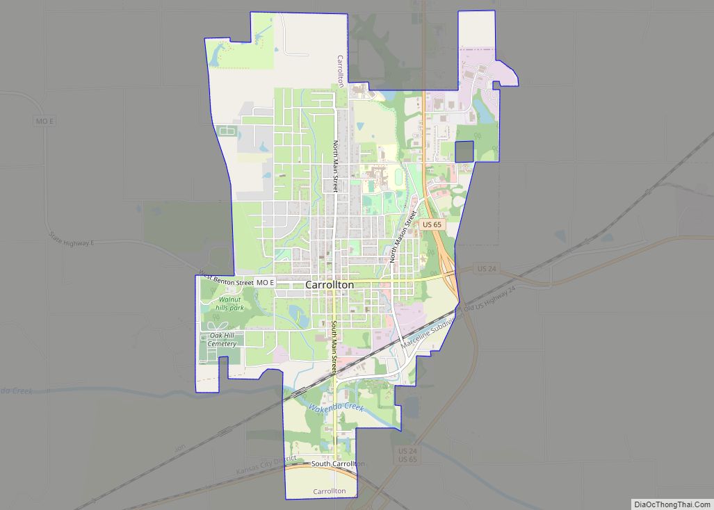
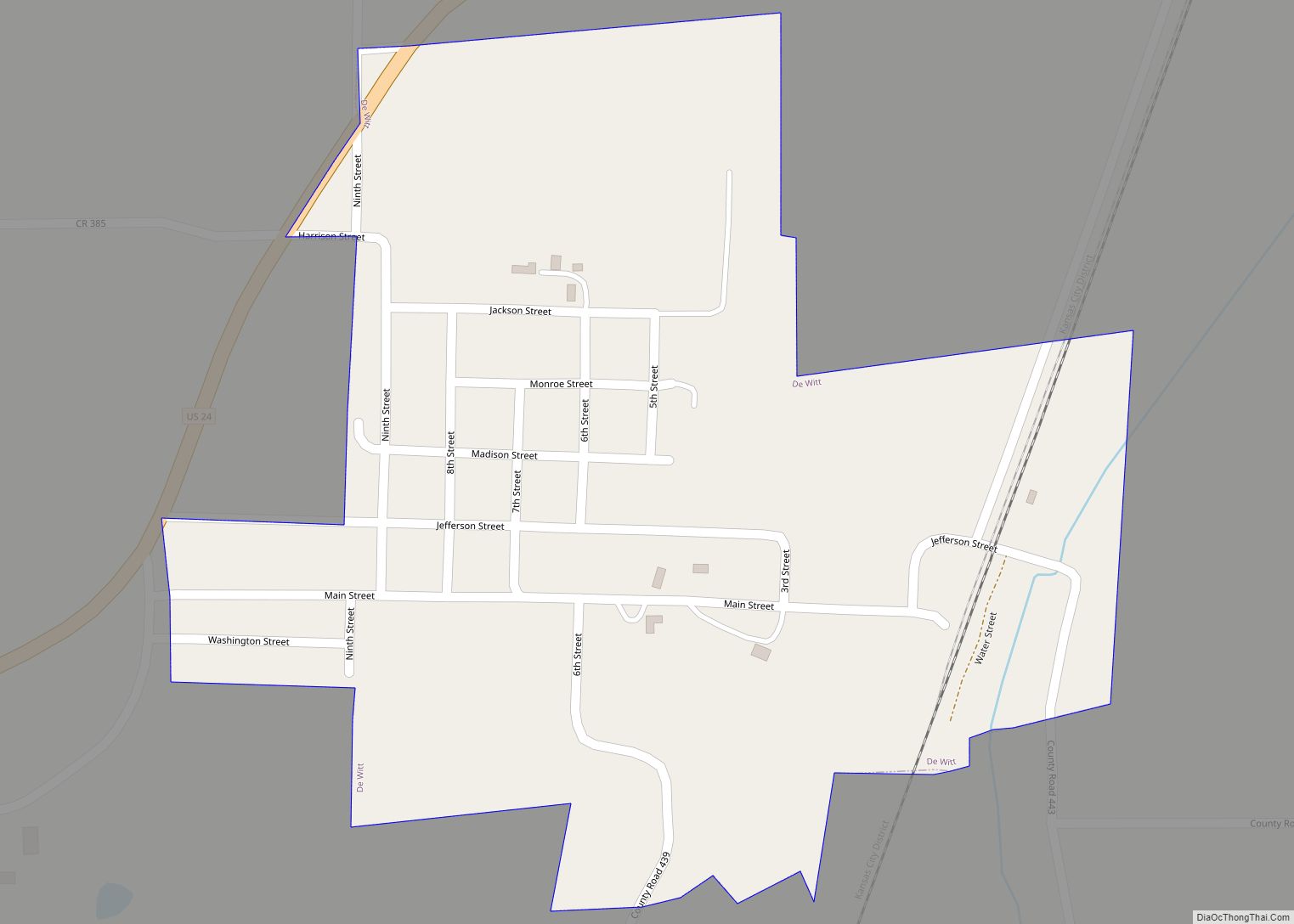
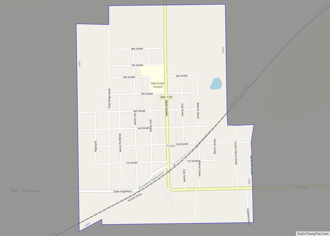
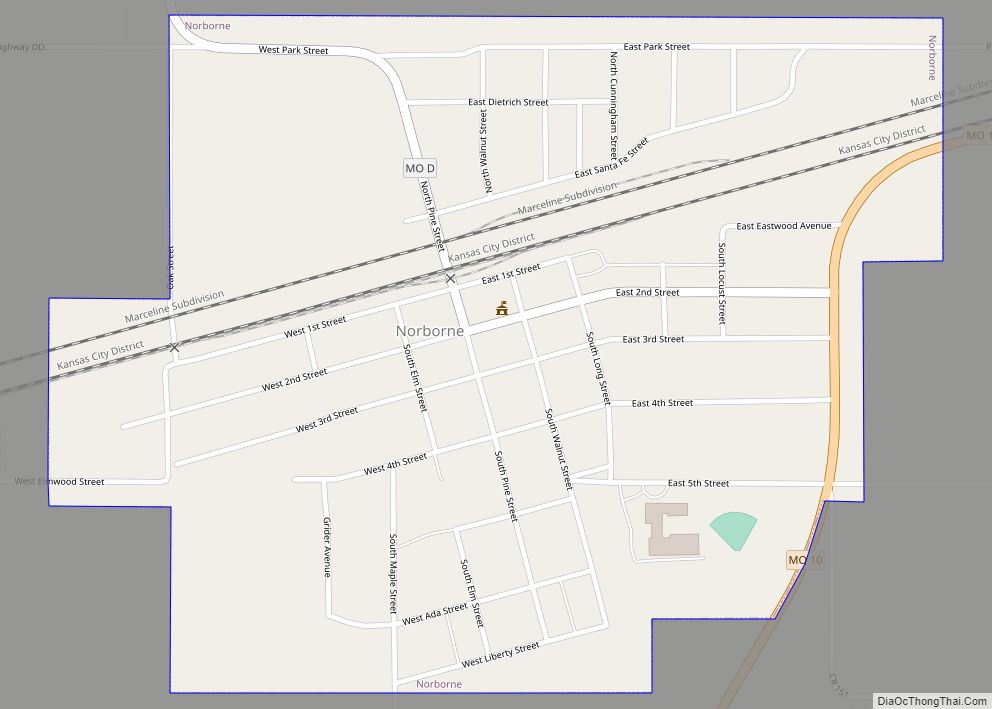
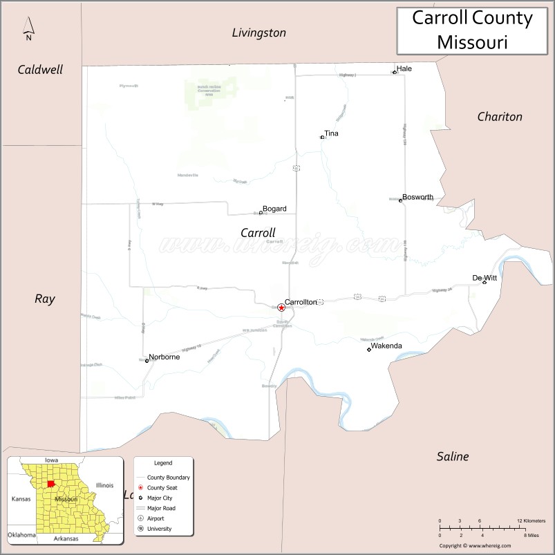
| Seat: | Carrollton |
| Largest city: | Carrollton |
| Total Area: | 701 sq mi (1,820 km²) |
| Land Area: | 695 sq mi (1,800 km²) |
| Total Population: | 8,495 |
| Population Density: | 12/sq mi (4.7/km²) |
| Time zone: | UTC−6 (Central) |
| Summer Time Zone (DST): | UTC−5 (CDT) |
| Website: | www.carrollcomo.org |
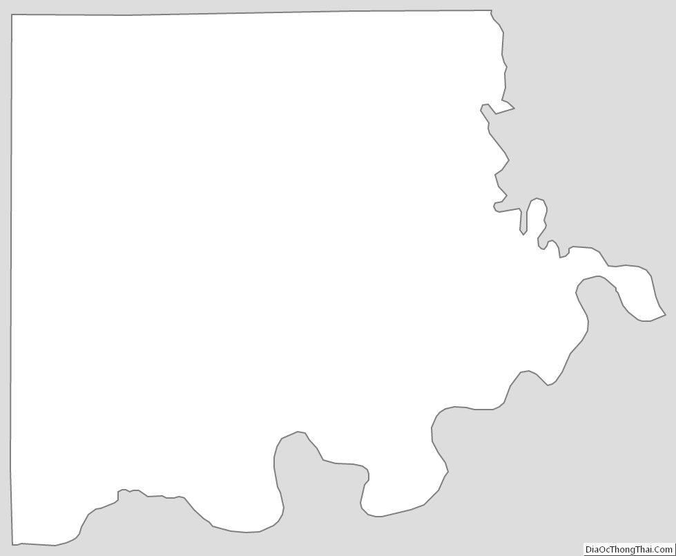
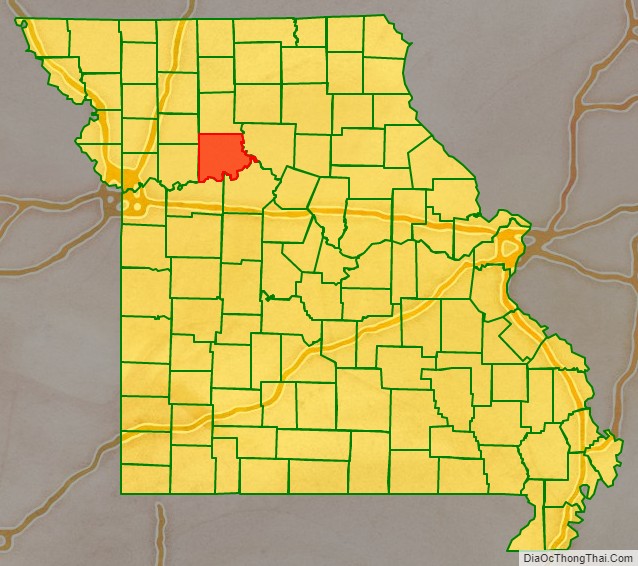
Carroll County location map. Where is Carroll County?
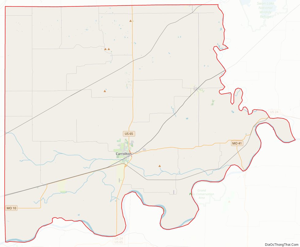
Carroll County Road Map
Geography
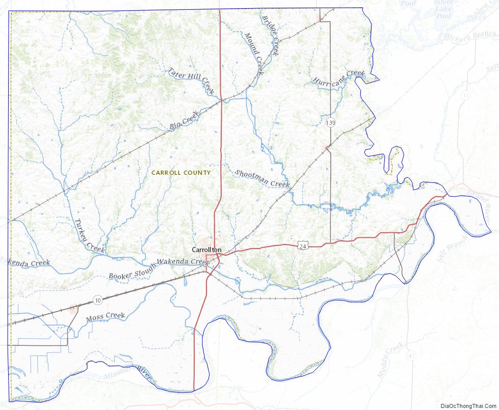
According to the U.S. Census Bureau, the county has a total area of 701 square miles (1,820 km), of which 695 square miles (1,800 km) is land and 6.8 square miles (18 km) (1.0%) is water.
Adjacent counties
- Livingston County (north)
- Chariton County (east)
- Saline County (southeast)
- Lafayette County (southwest)
- Ray County (west)
- Caldwell County (northwest)
Major highways
- U.S. Route 24
- U.S. Route 65
- Route 10
- Route 139
Carroll County Topographic Map
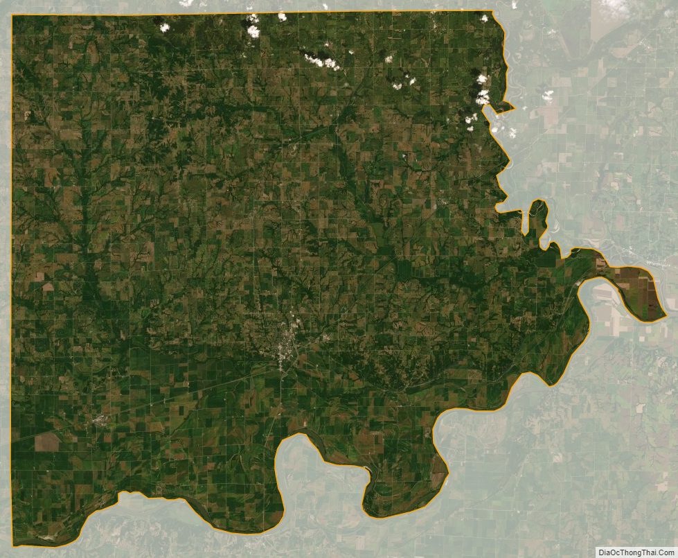
Carroll County Satellite Map
Carroll County Outline Map